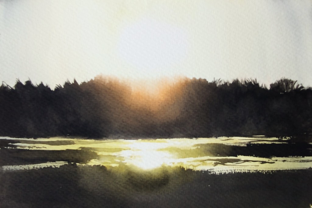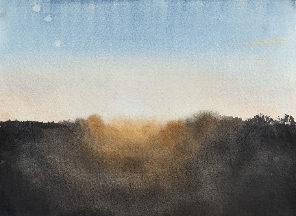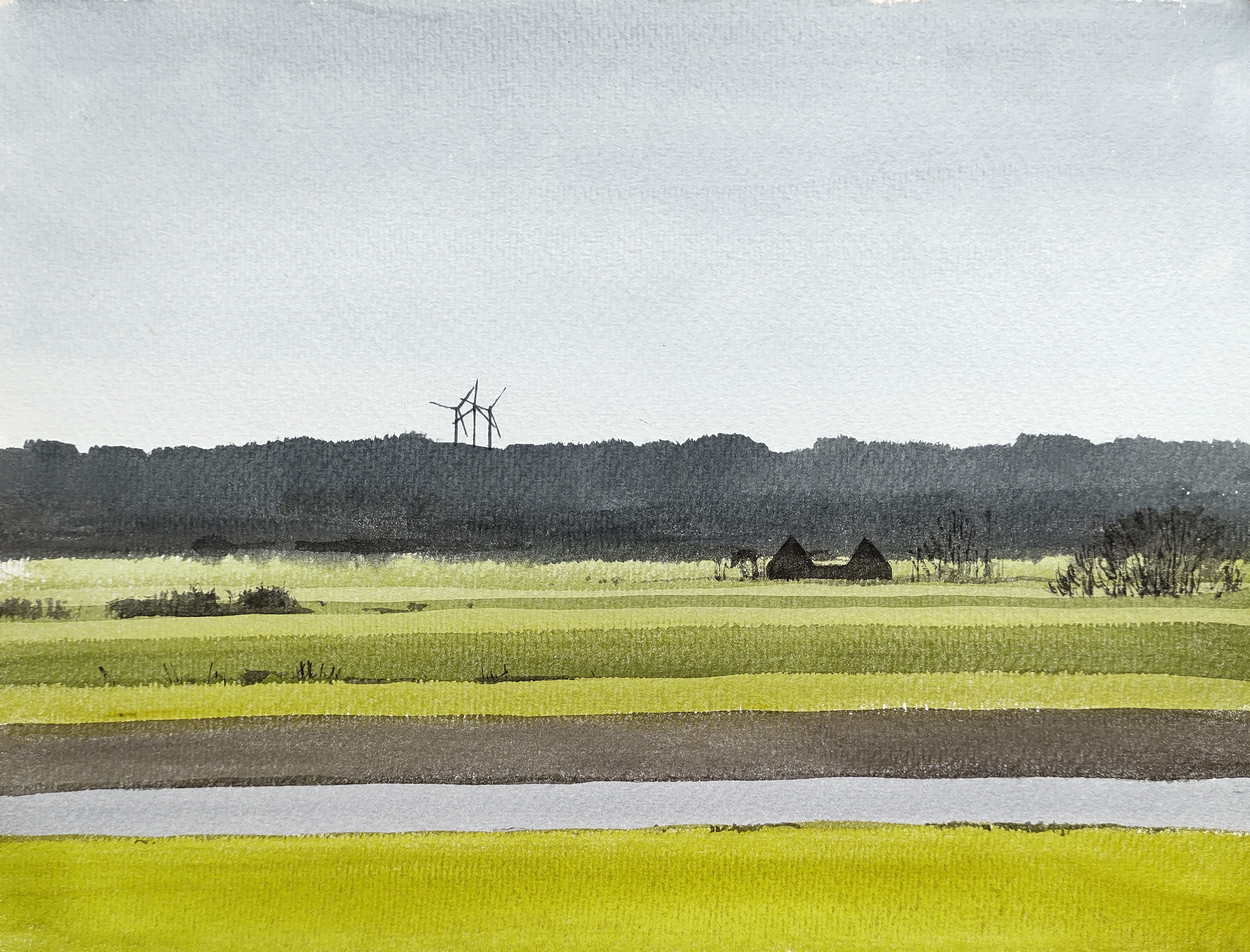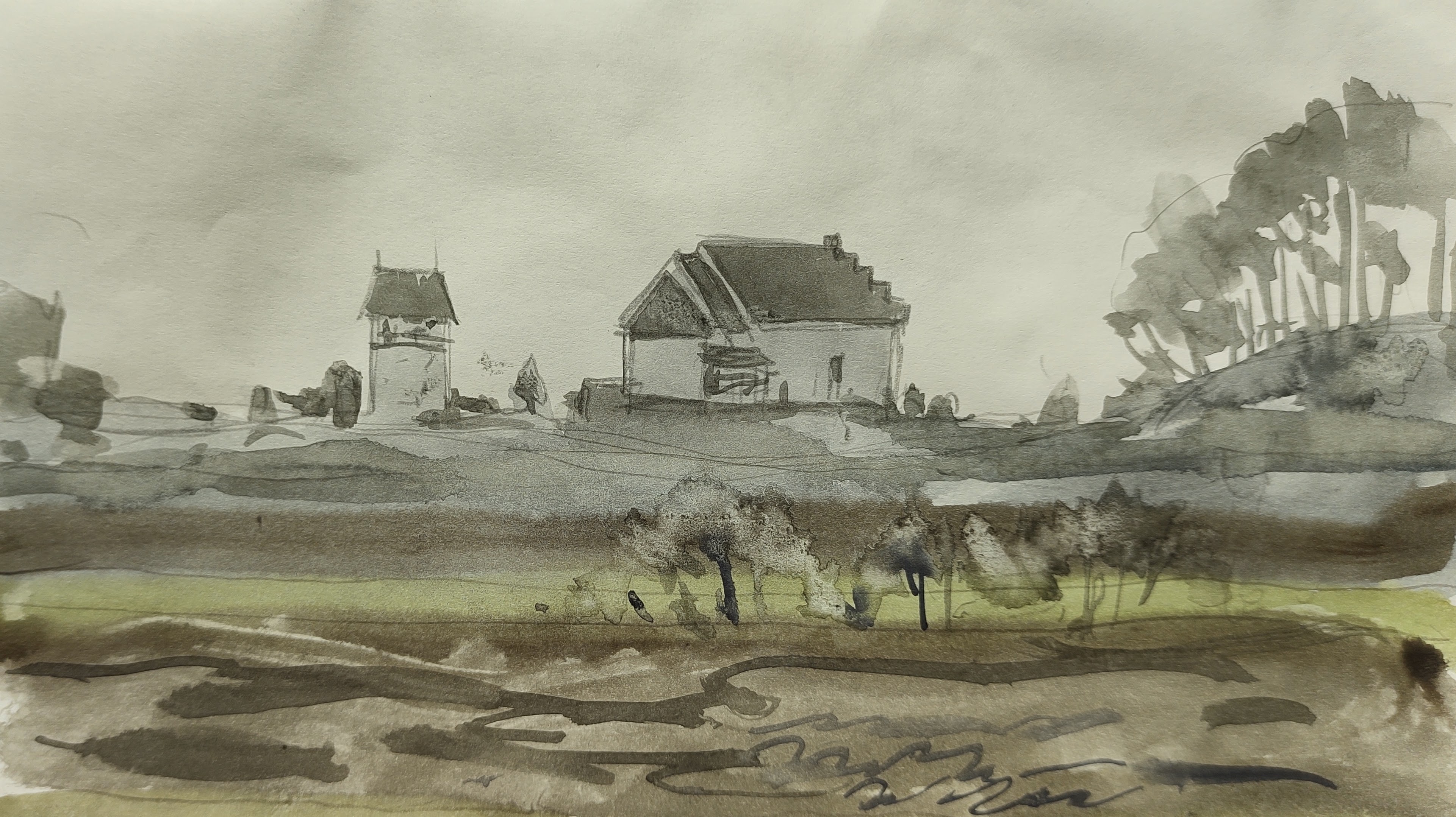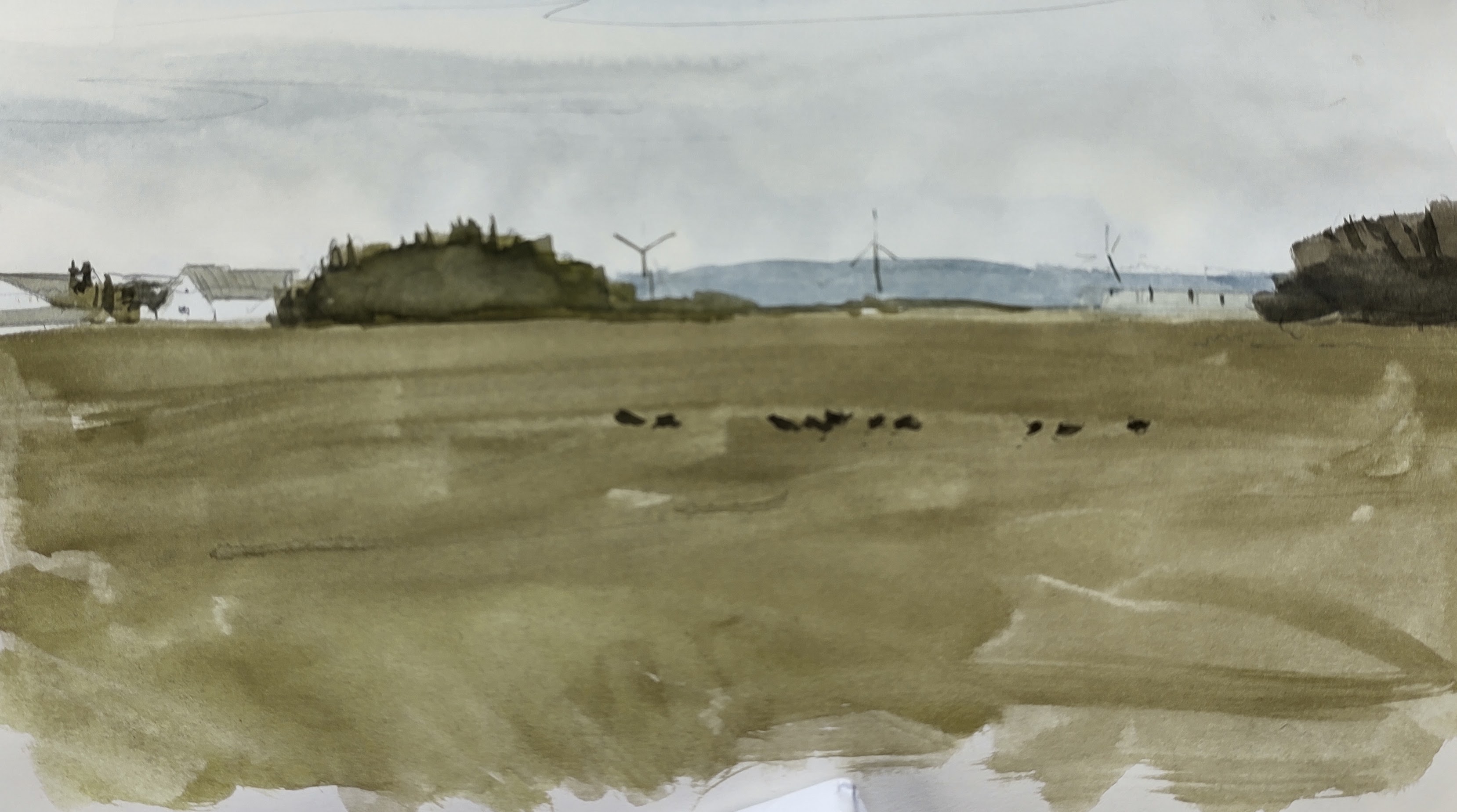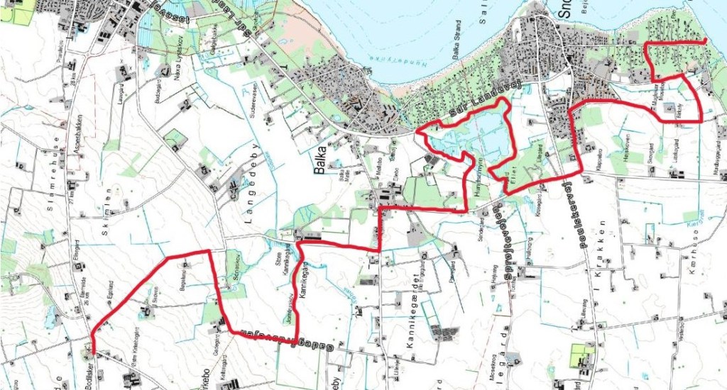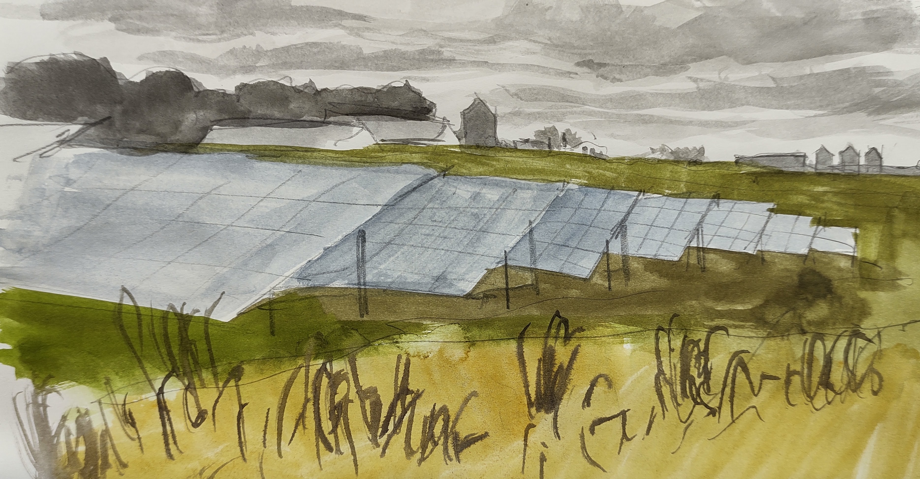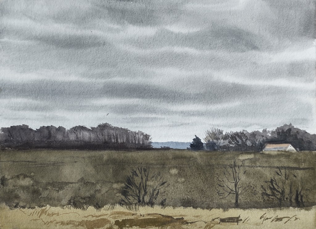
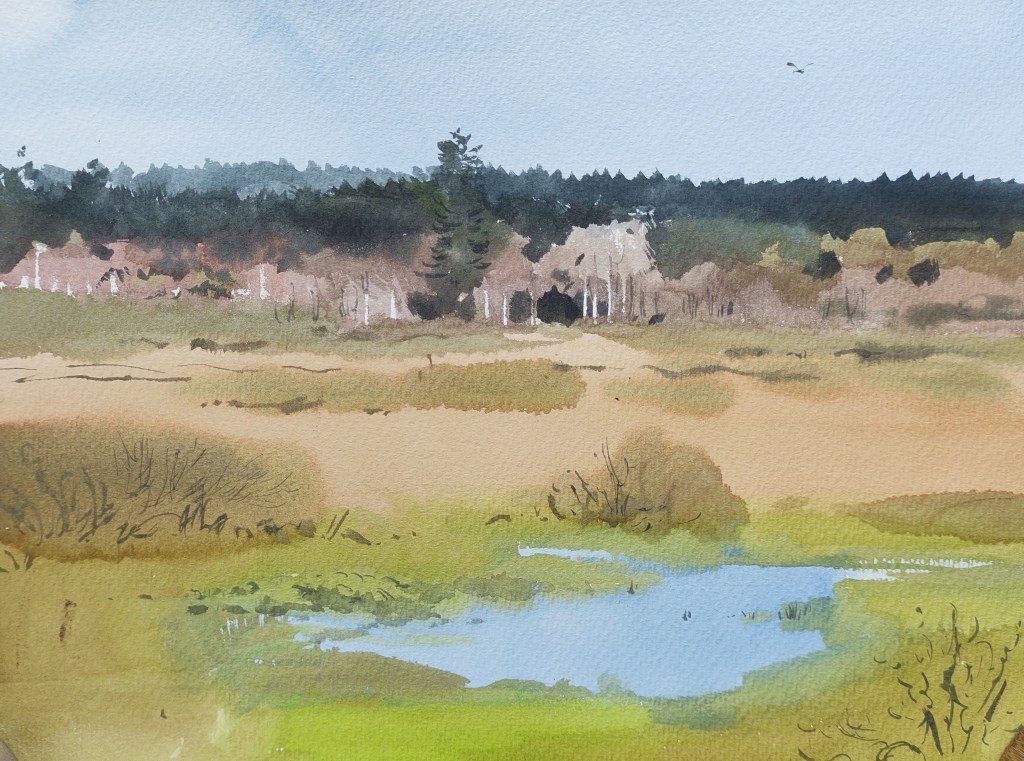
LAND 17 Dawn found me perched on the bird tower again, overlooking Ølene marsh. The drive had been spectacular, with shrouds of low mist floating delicately over the landscape. The denizens of the marsh slowly awoke from their slumber and soon I was surrounded by a cacophony of birdsong.
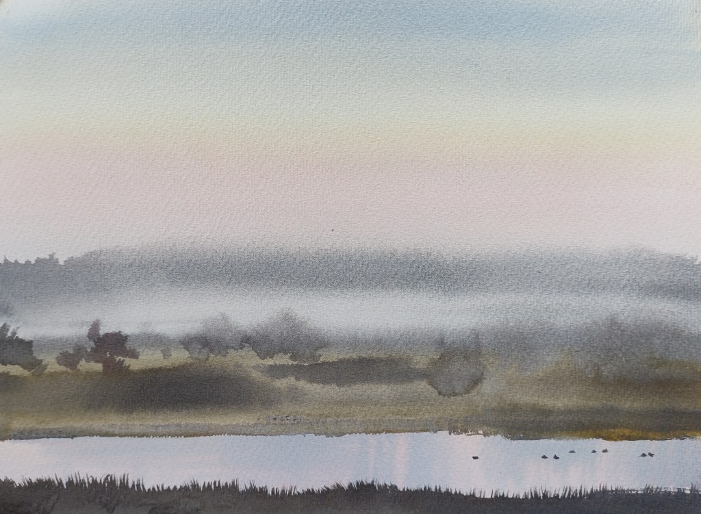
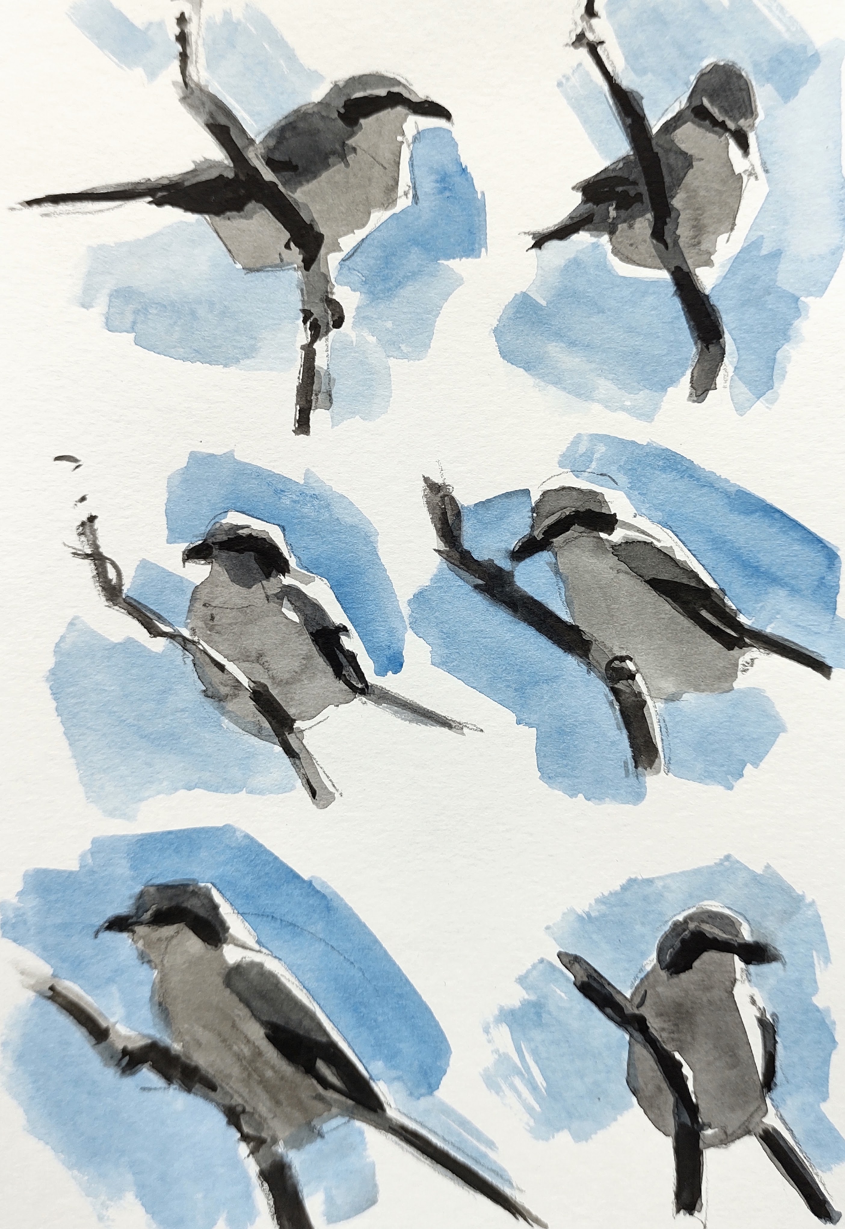
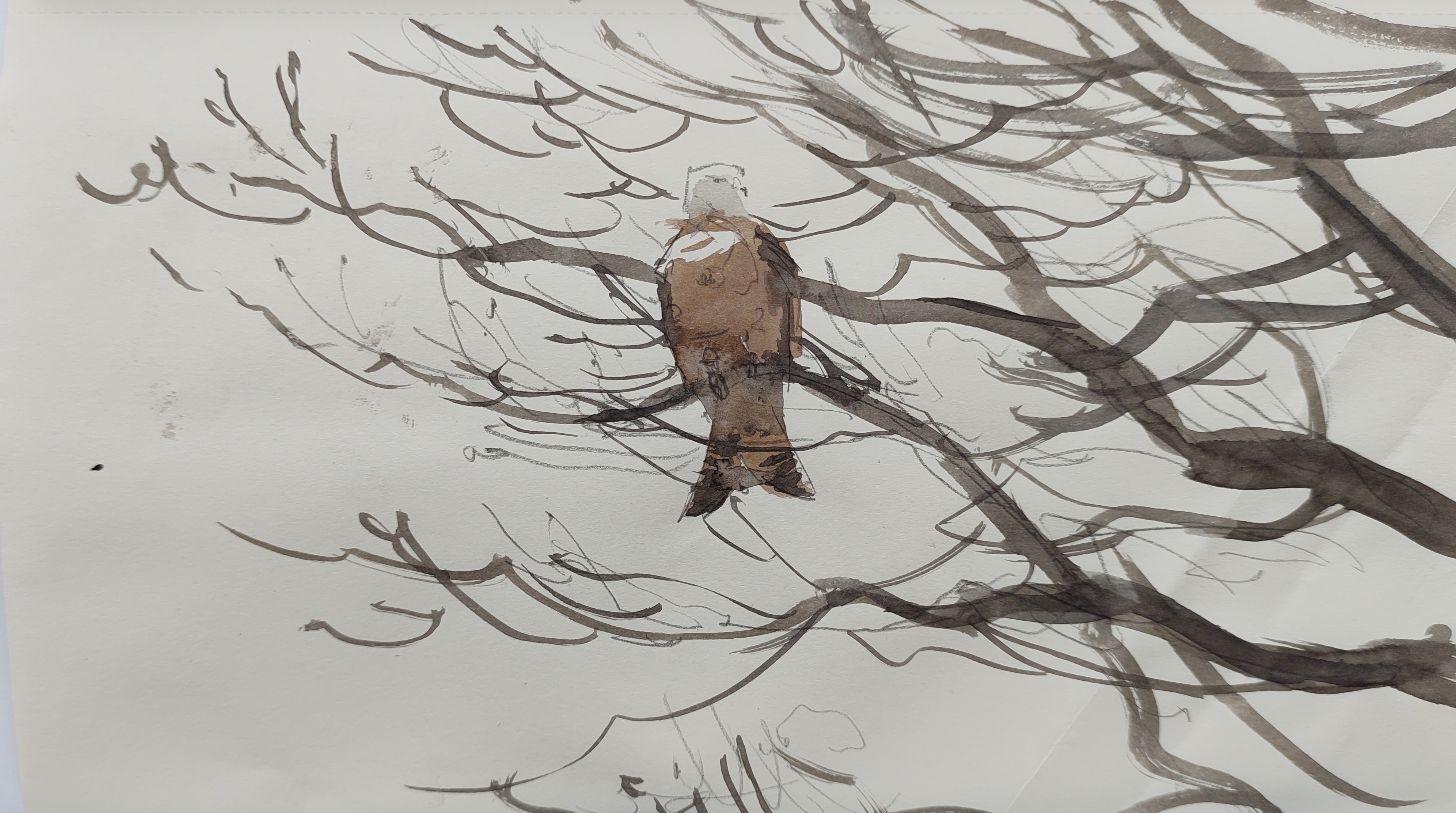
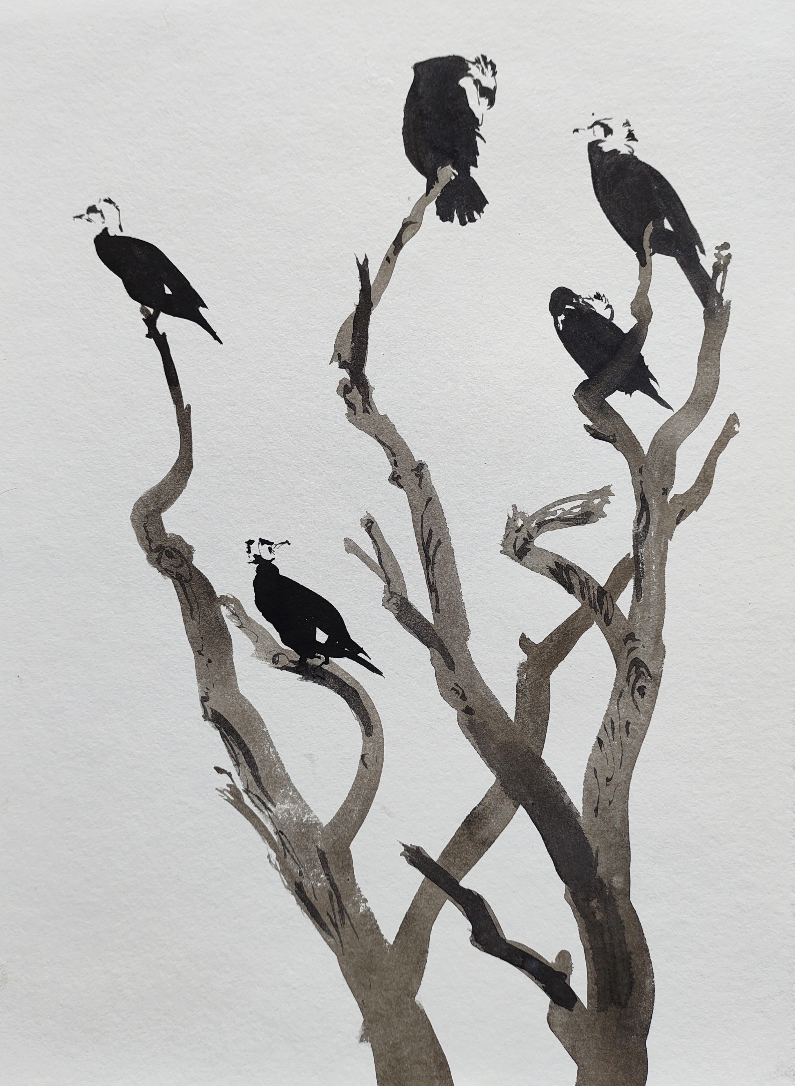
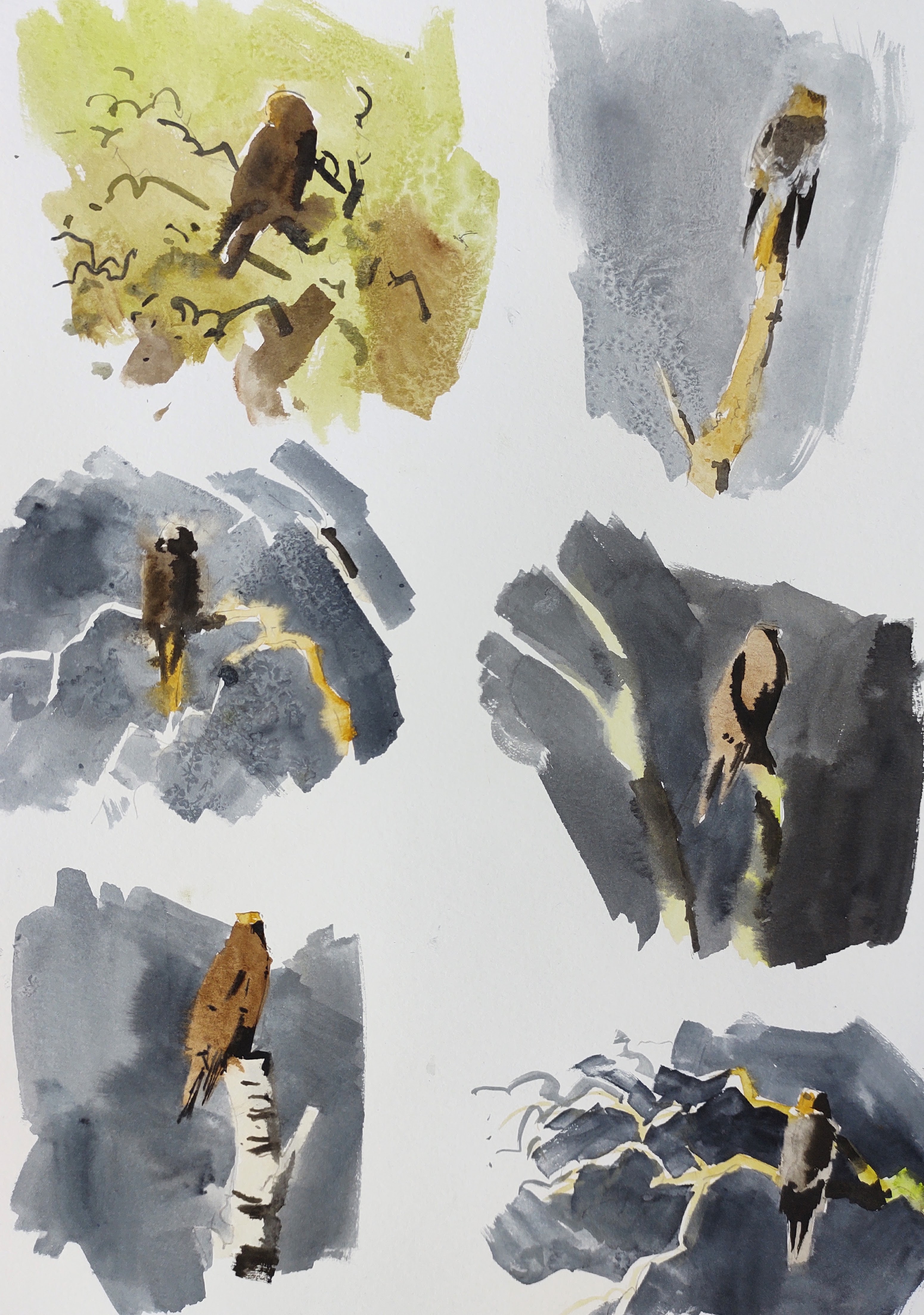
As the sun rose behind and flooded into the marsh, I noticed several marsh harriers perching on dead trees, enjoying the warming rays. I was still in shadow, and for a while the bird tower was enveloped in mist and my paints froze on the paper.
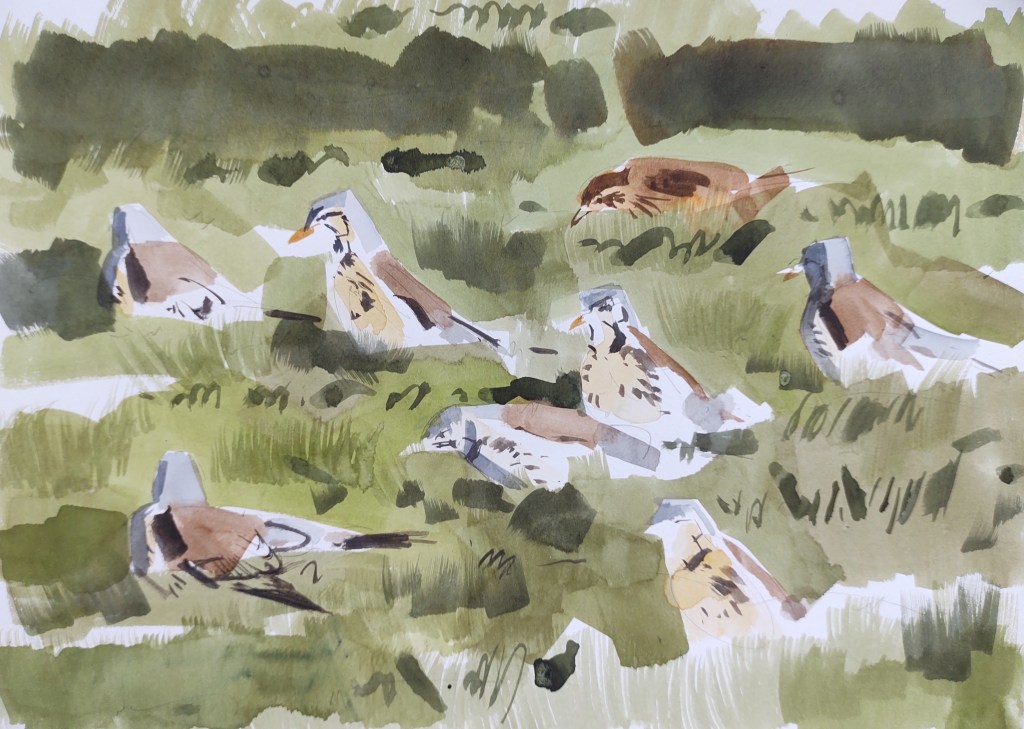
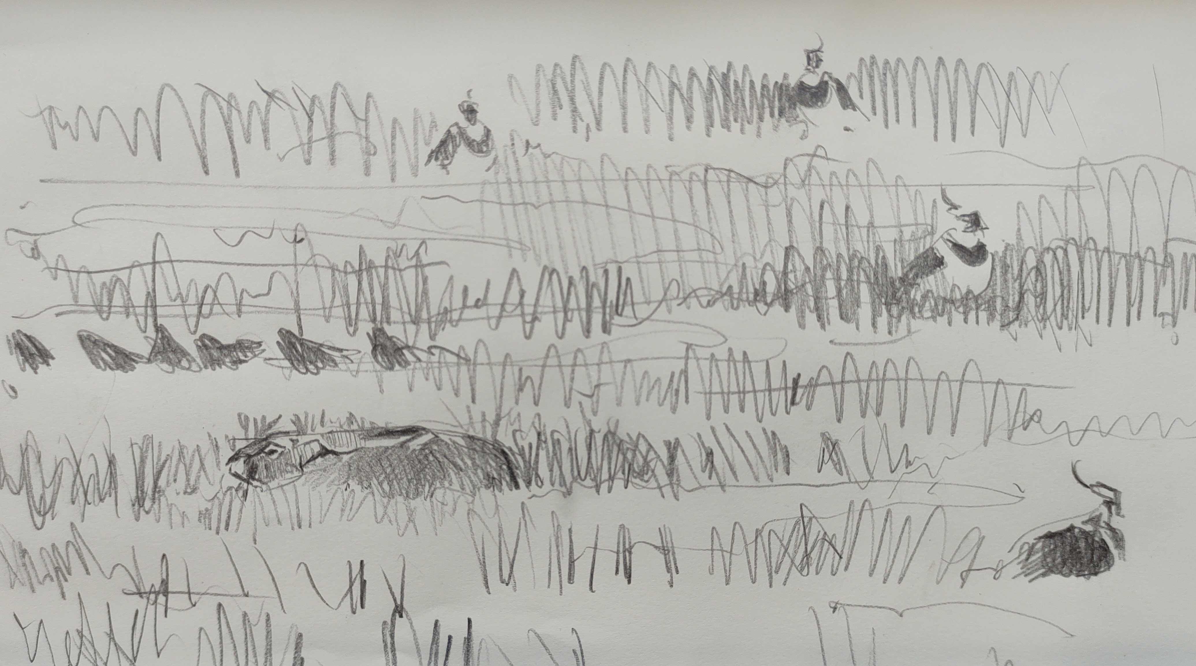
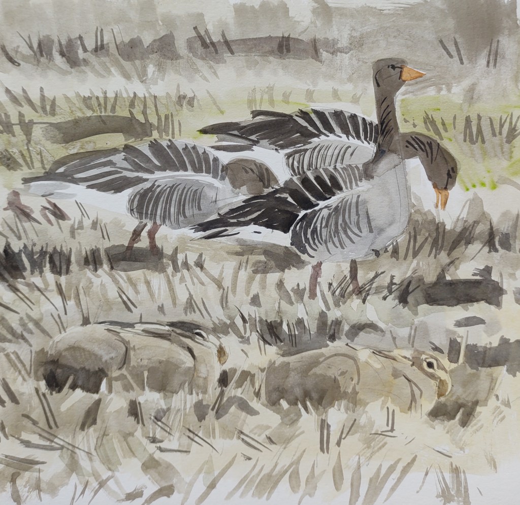
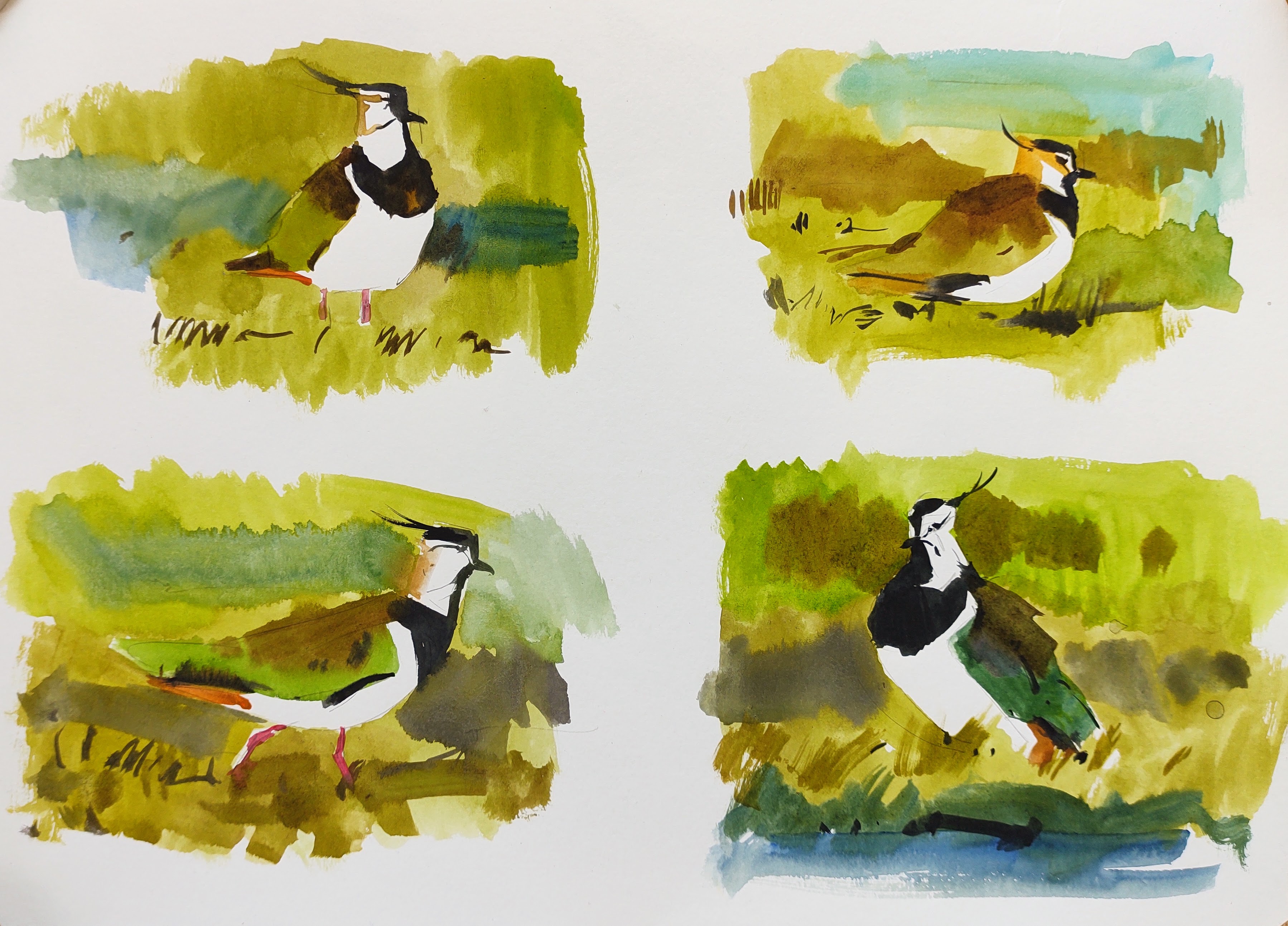
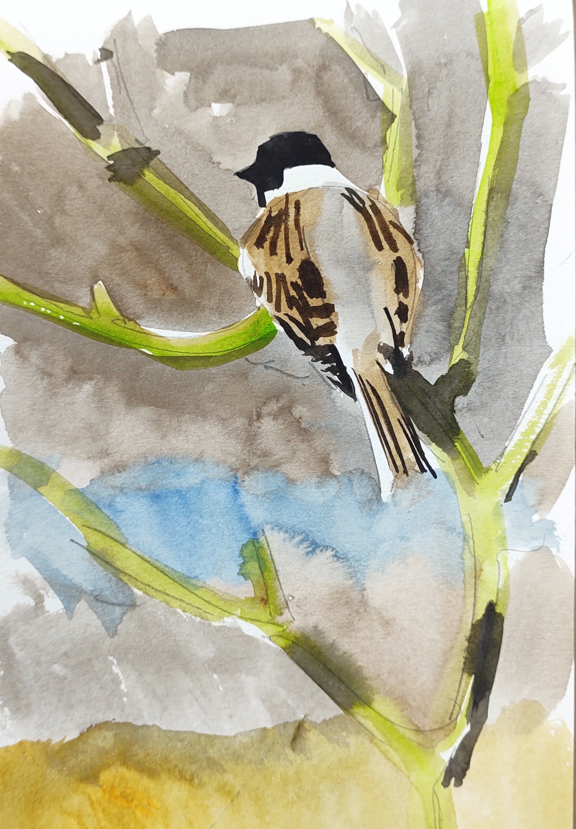
Soon the sun rose high enough to warm my back, and I was happy I had bought my telescope and could enjoy the stunning lapwings and smart reed buntings. The winter thrushes had now moved on and for the first time, willow warblers and blackcaps dominated the soundscape. Sap was rising.
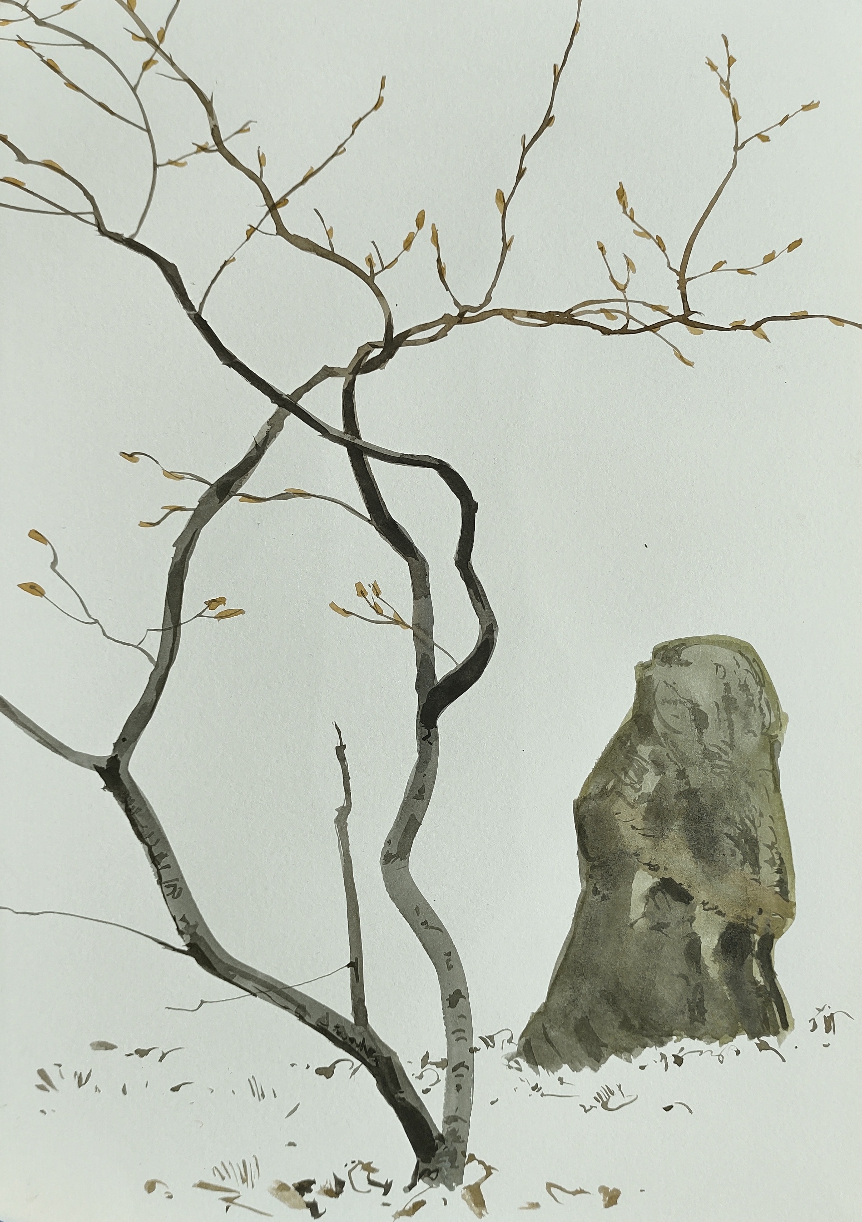
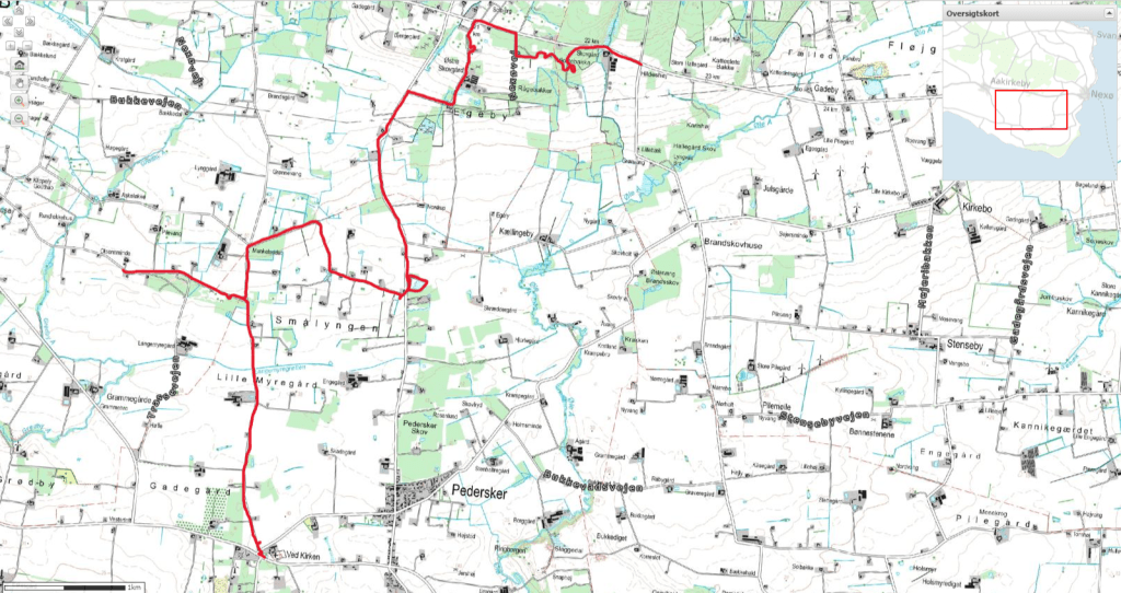
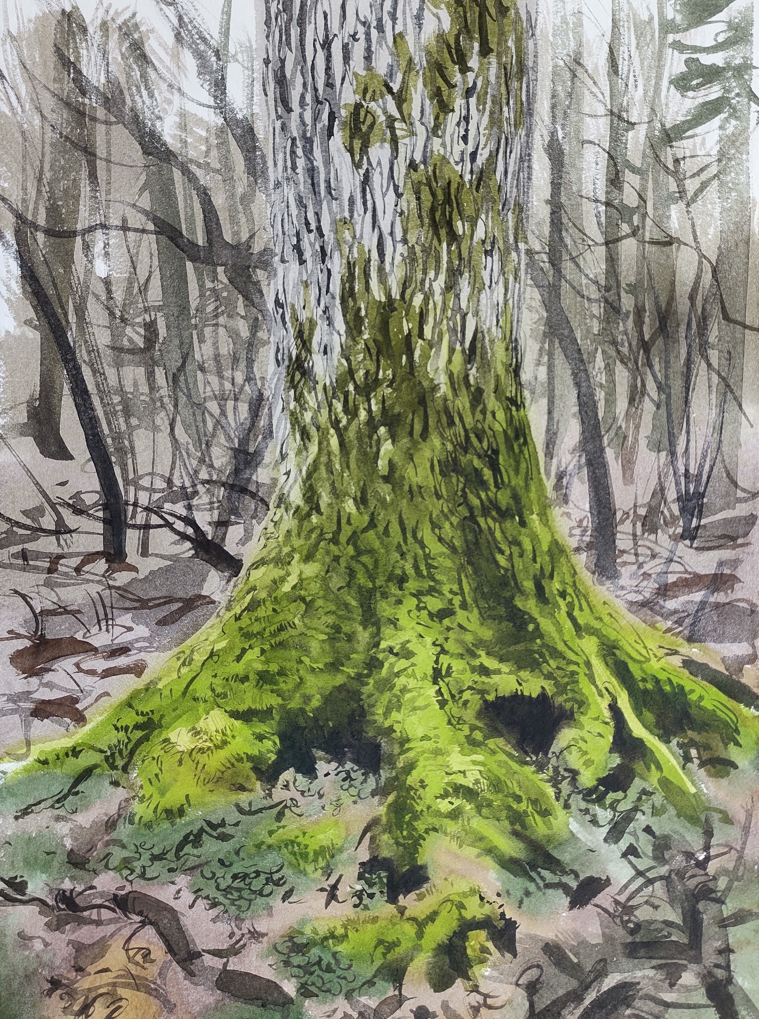
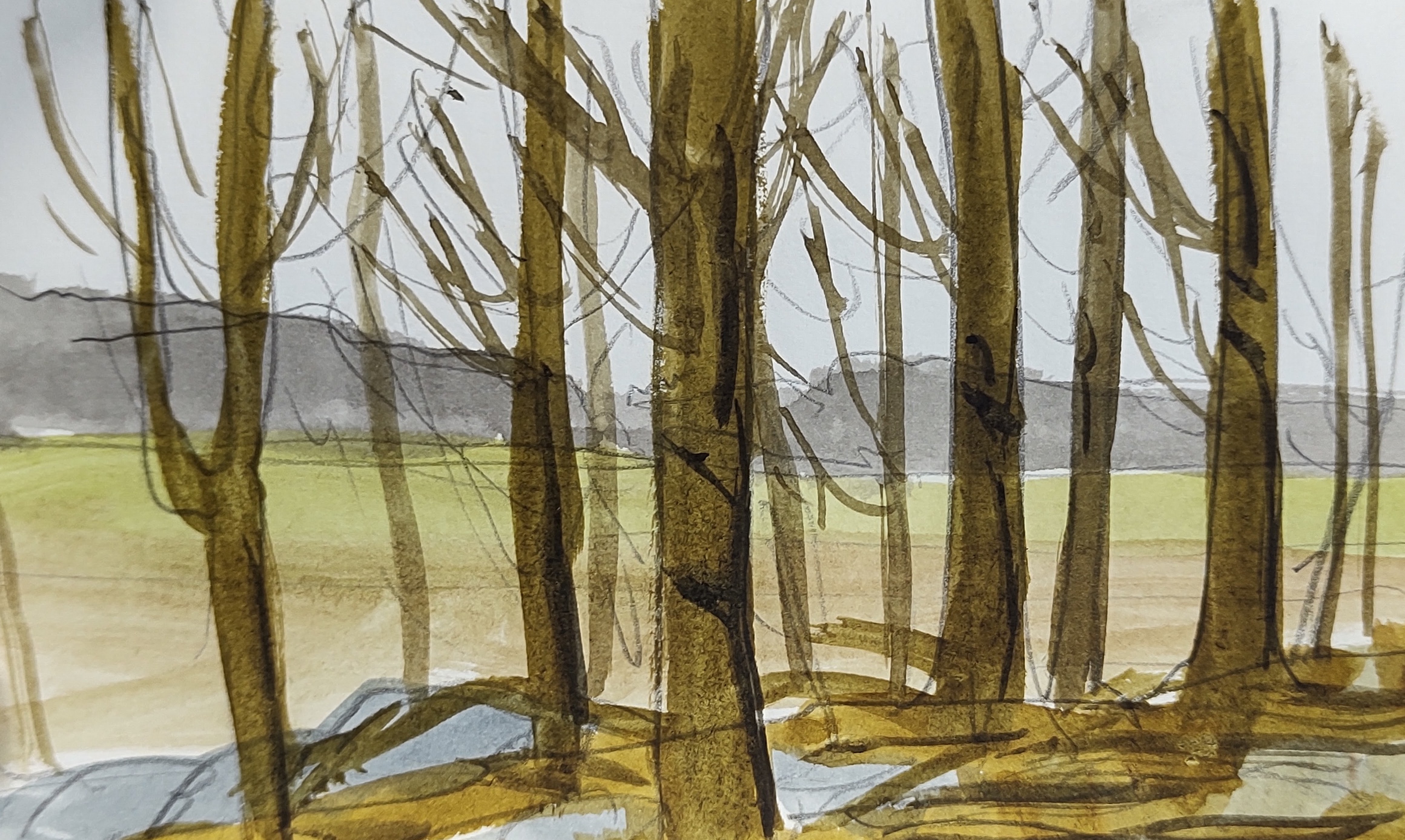
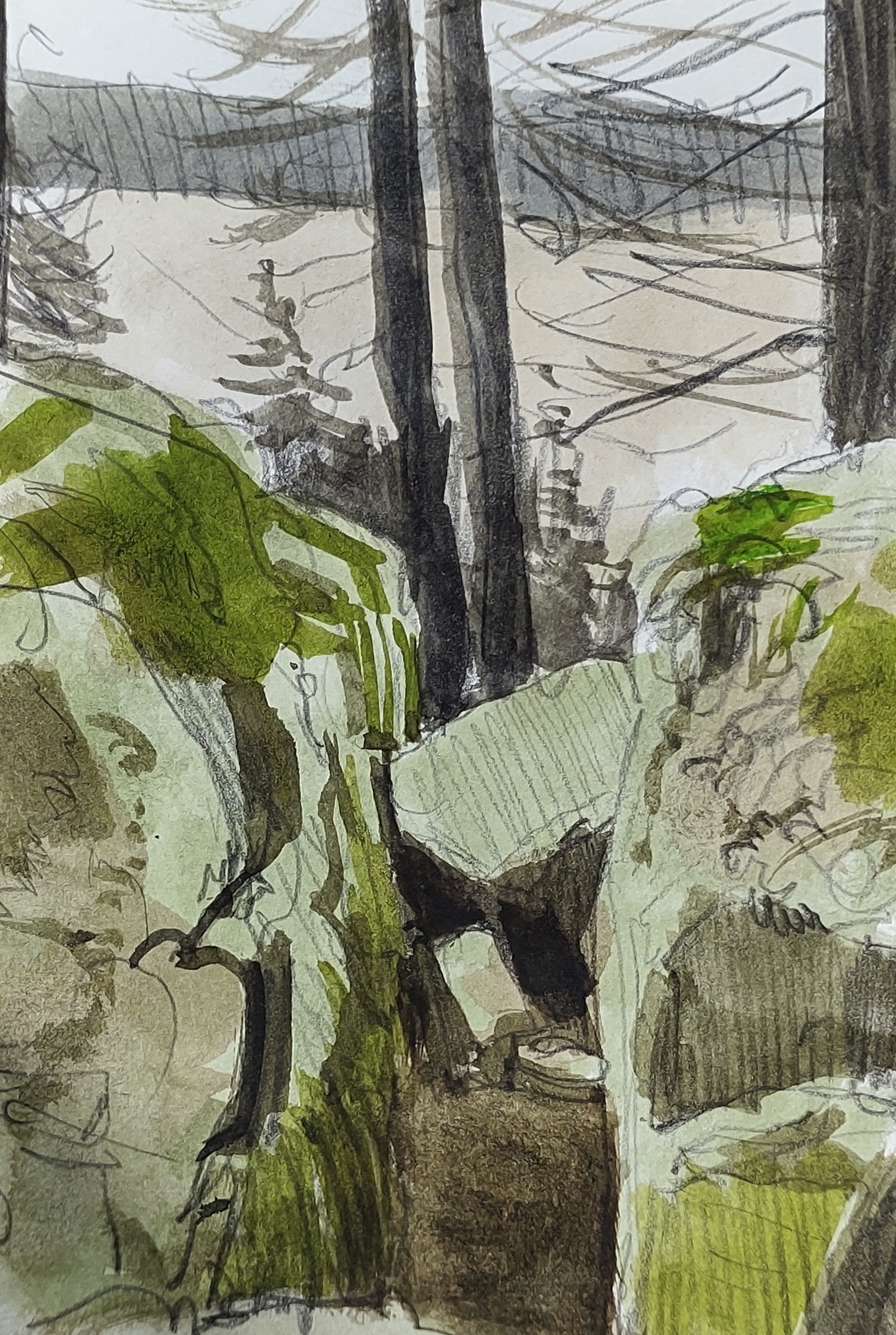
Eventually, it was time to move on, I headed south and then west, skirting the edge of the marsh. An old birch tree and a beech tree had grown together, fused in an eternal embrace. It was difficult to see where one started and the other ended.

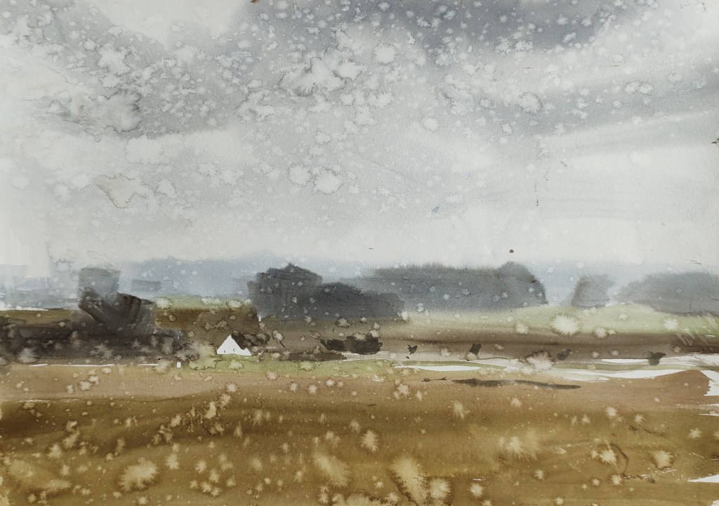
From the southern bird tower, I had great views over the marsh. Several marsh harriers drifted overhead sometimes engaging in aerial mating flights.
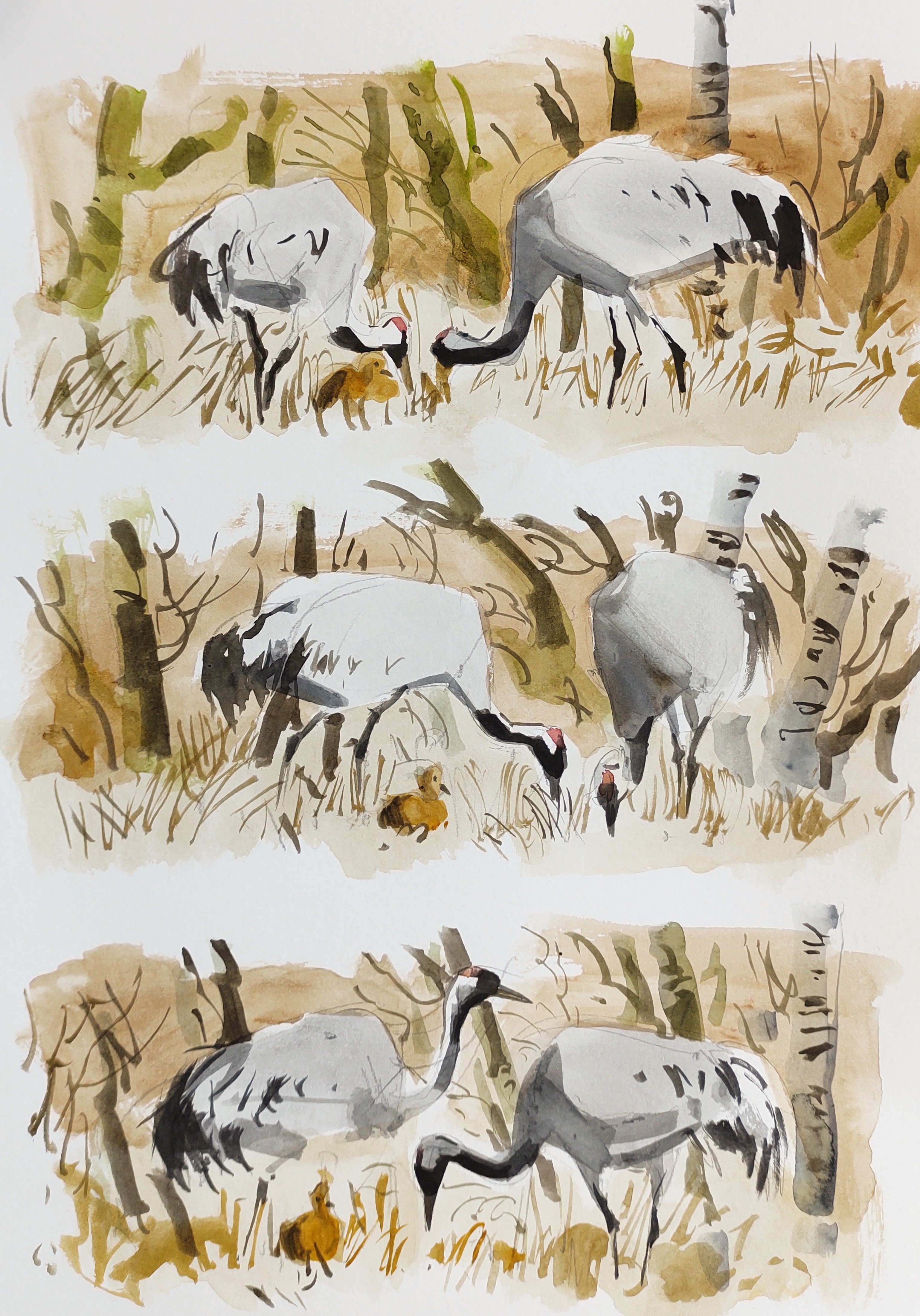
A pair of cranes were very wary – then I noticed the fluffy crane baby.
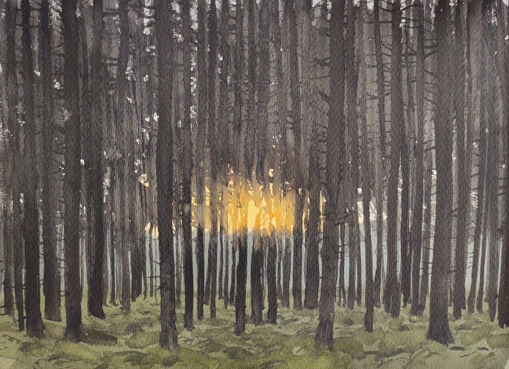
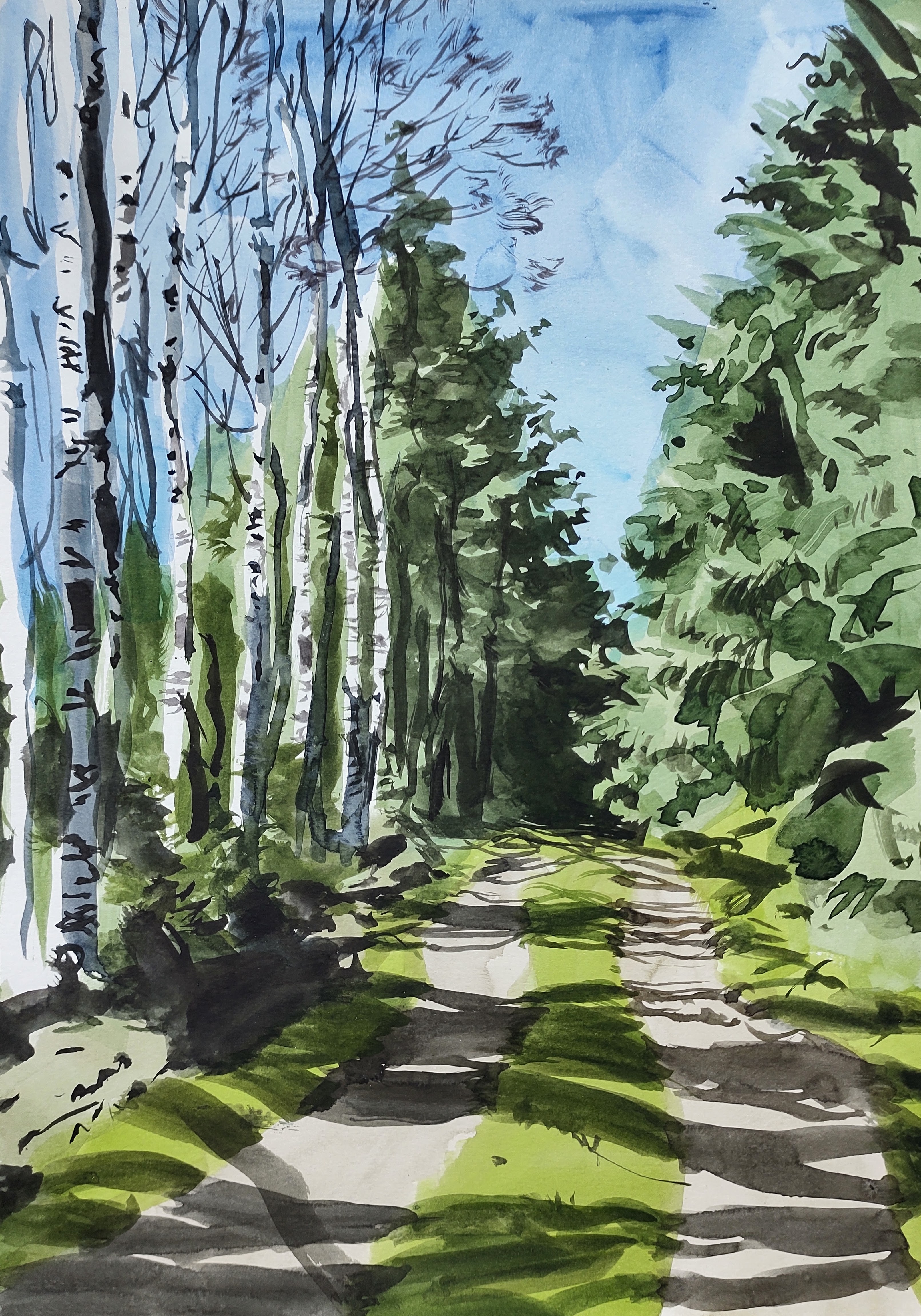
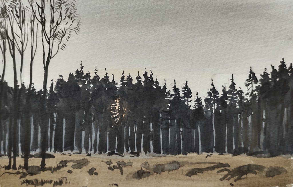
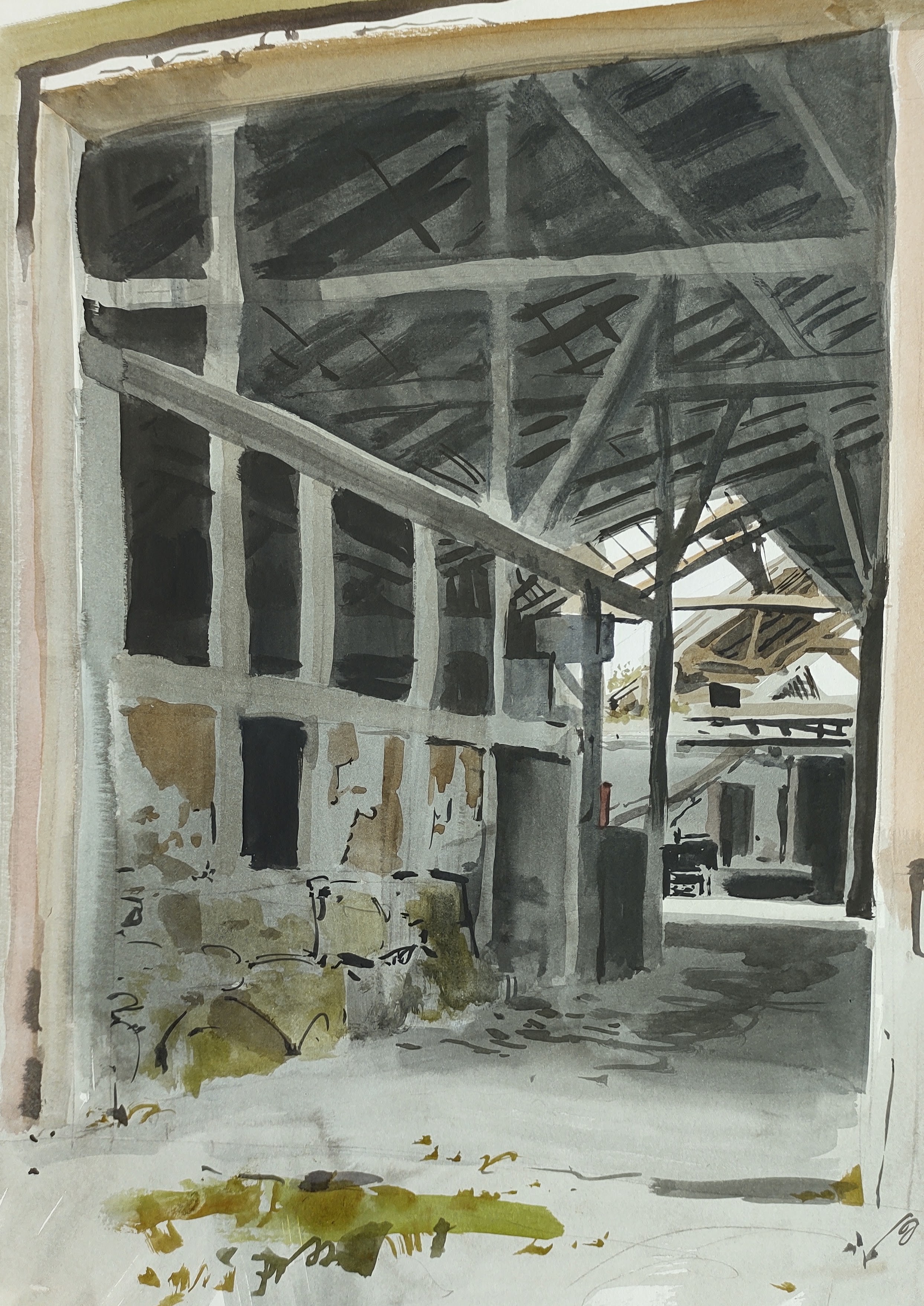
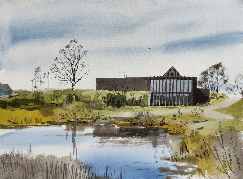
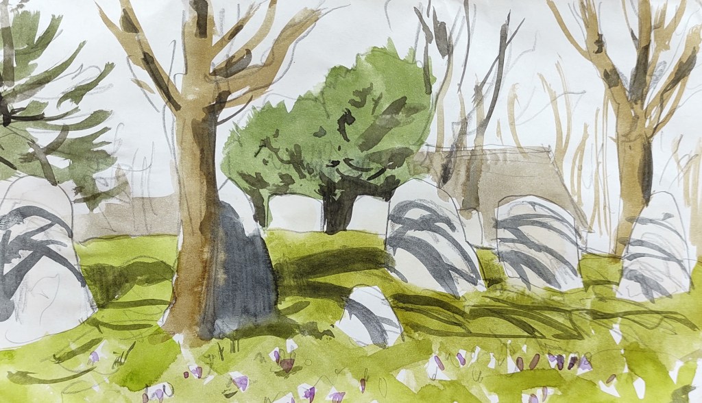
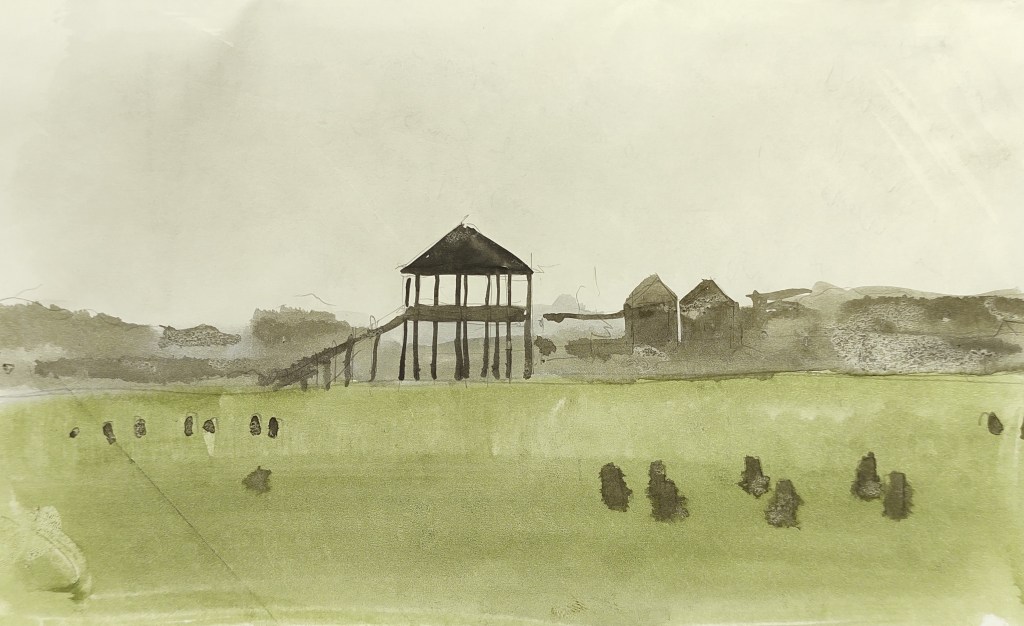
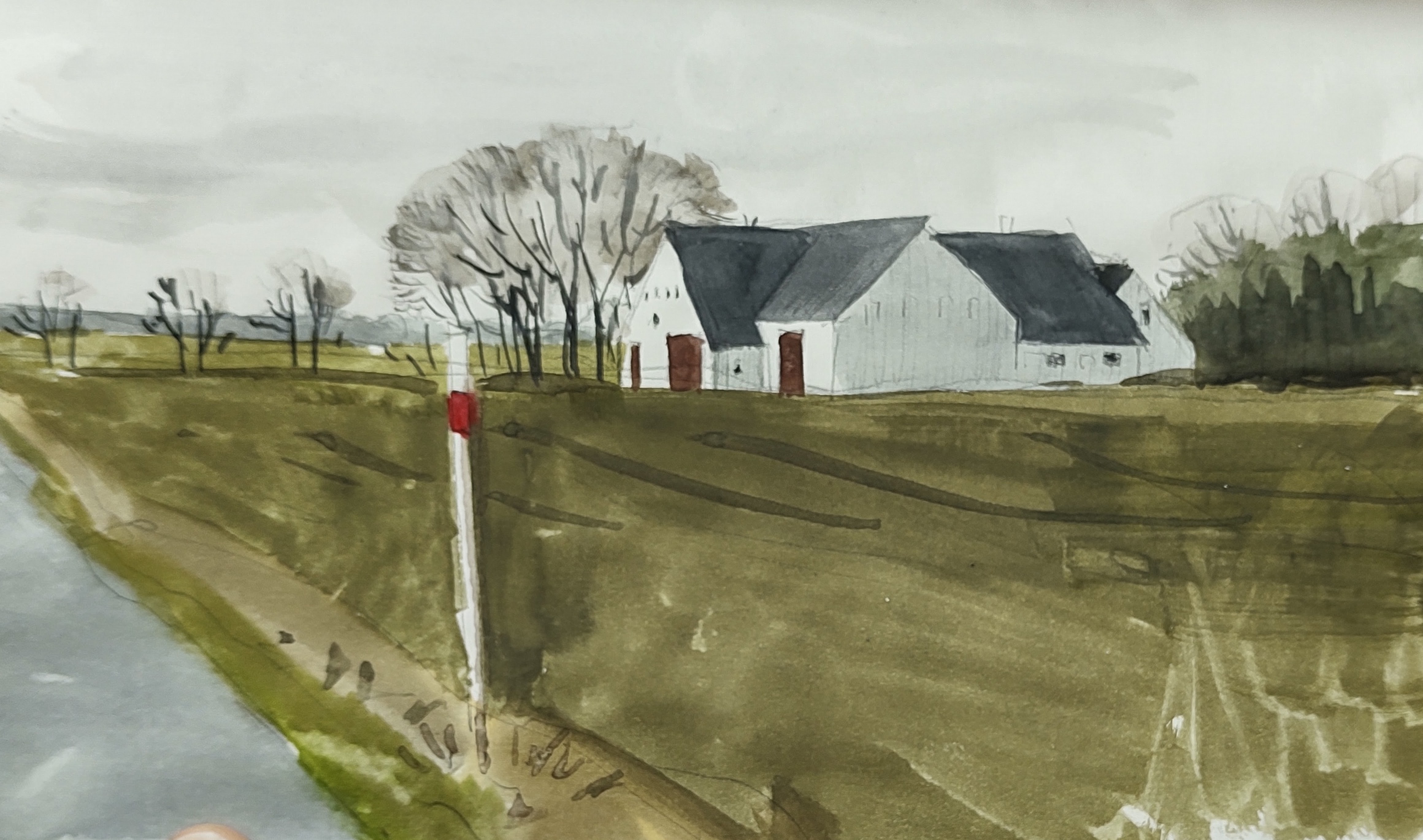
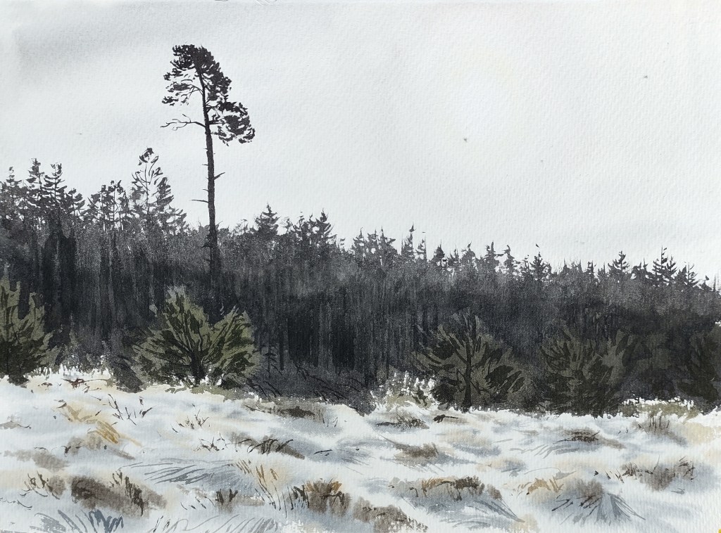
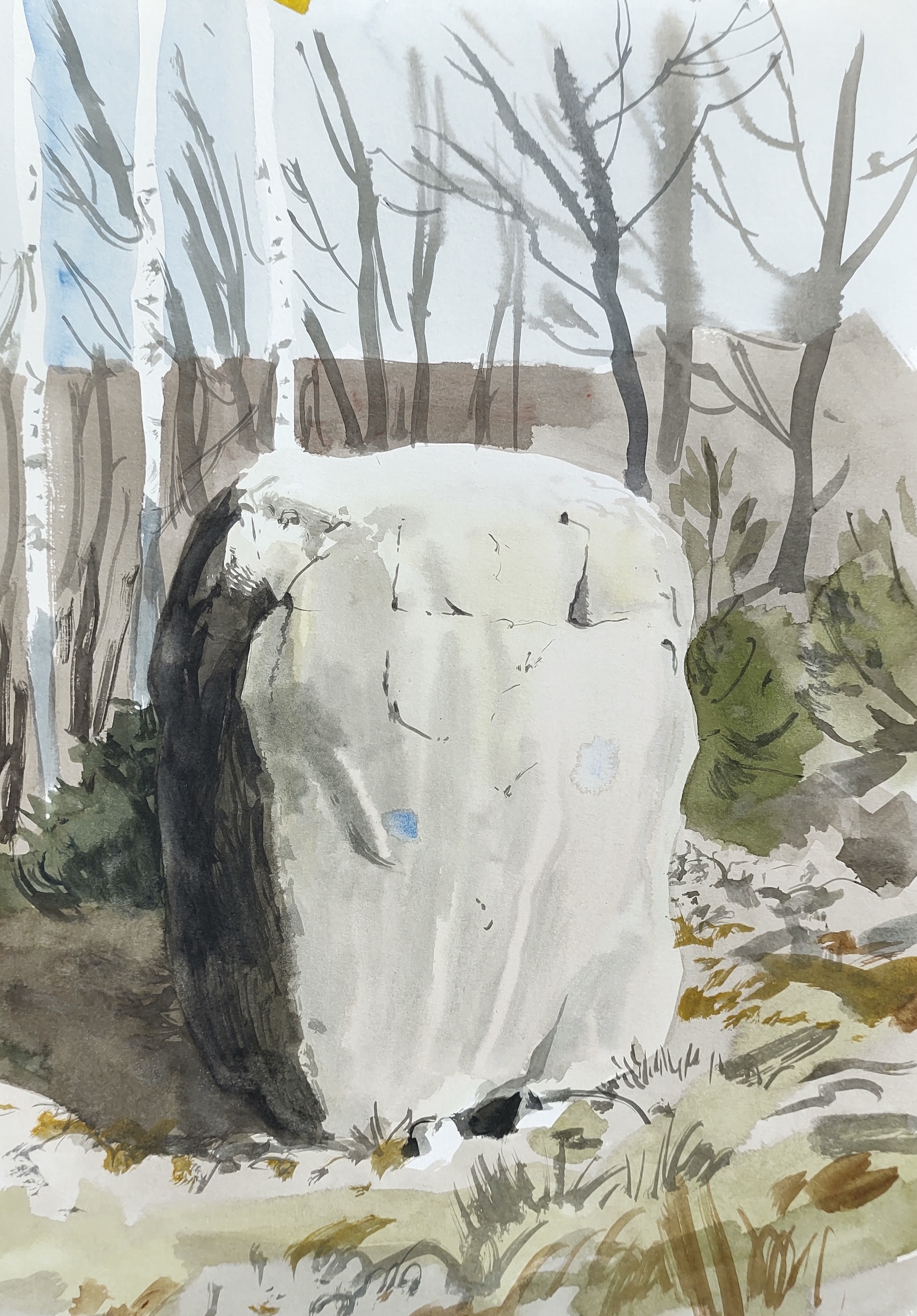
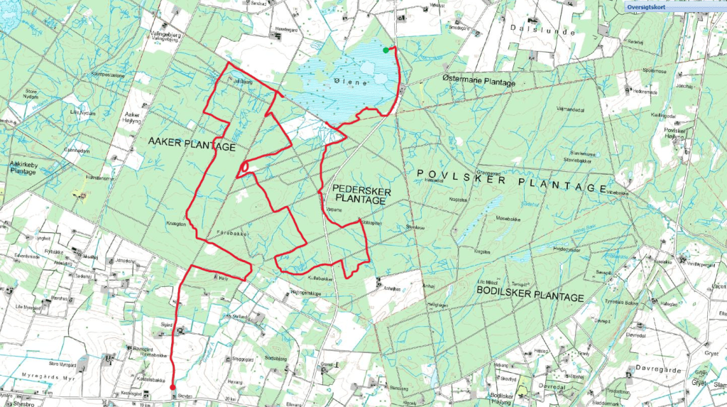
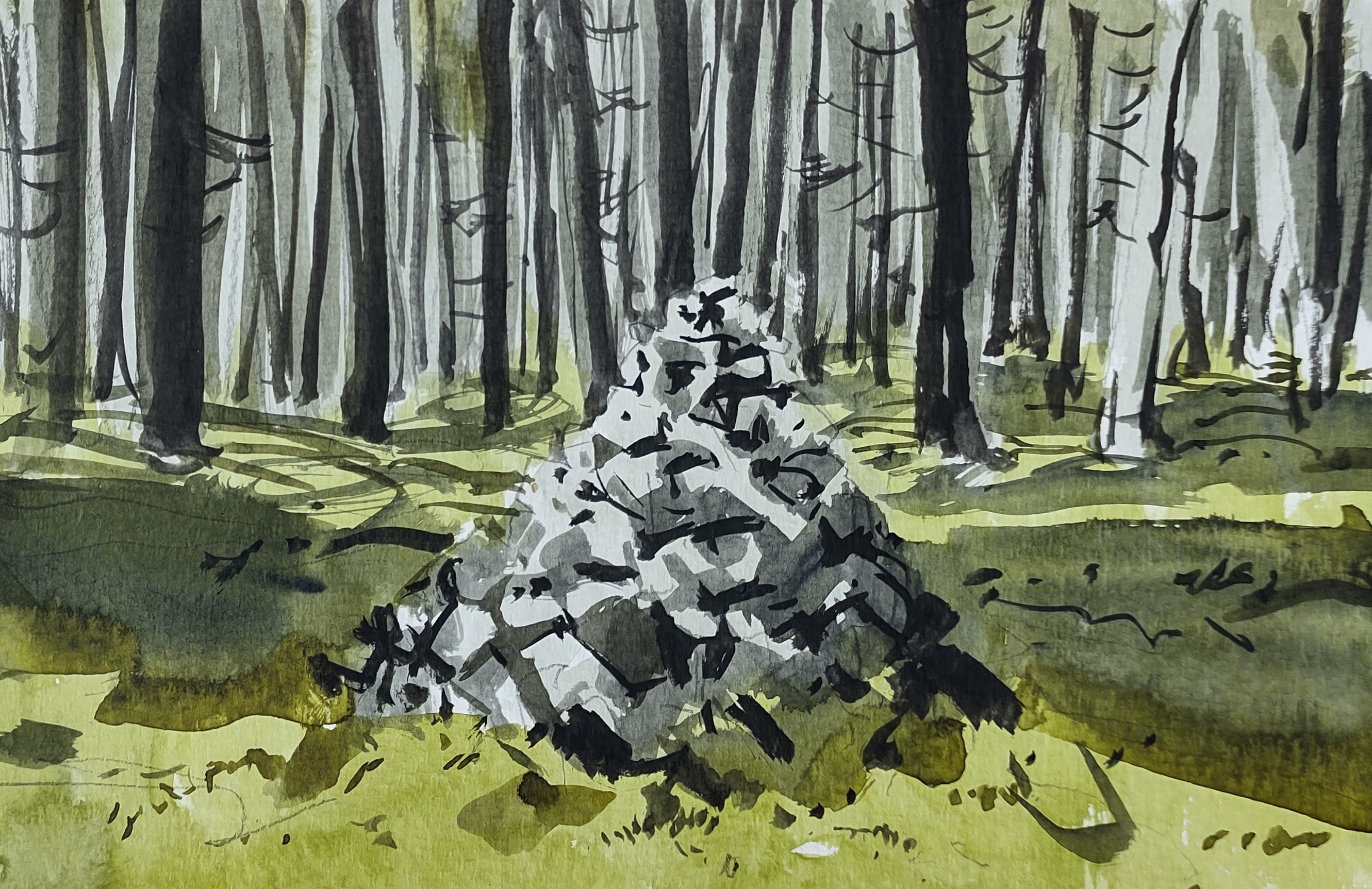
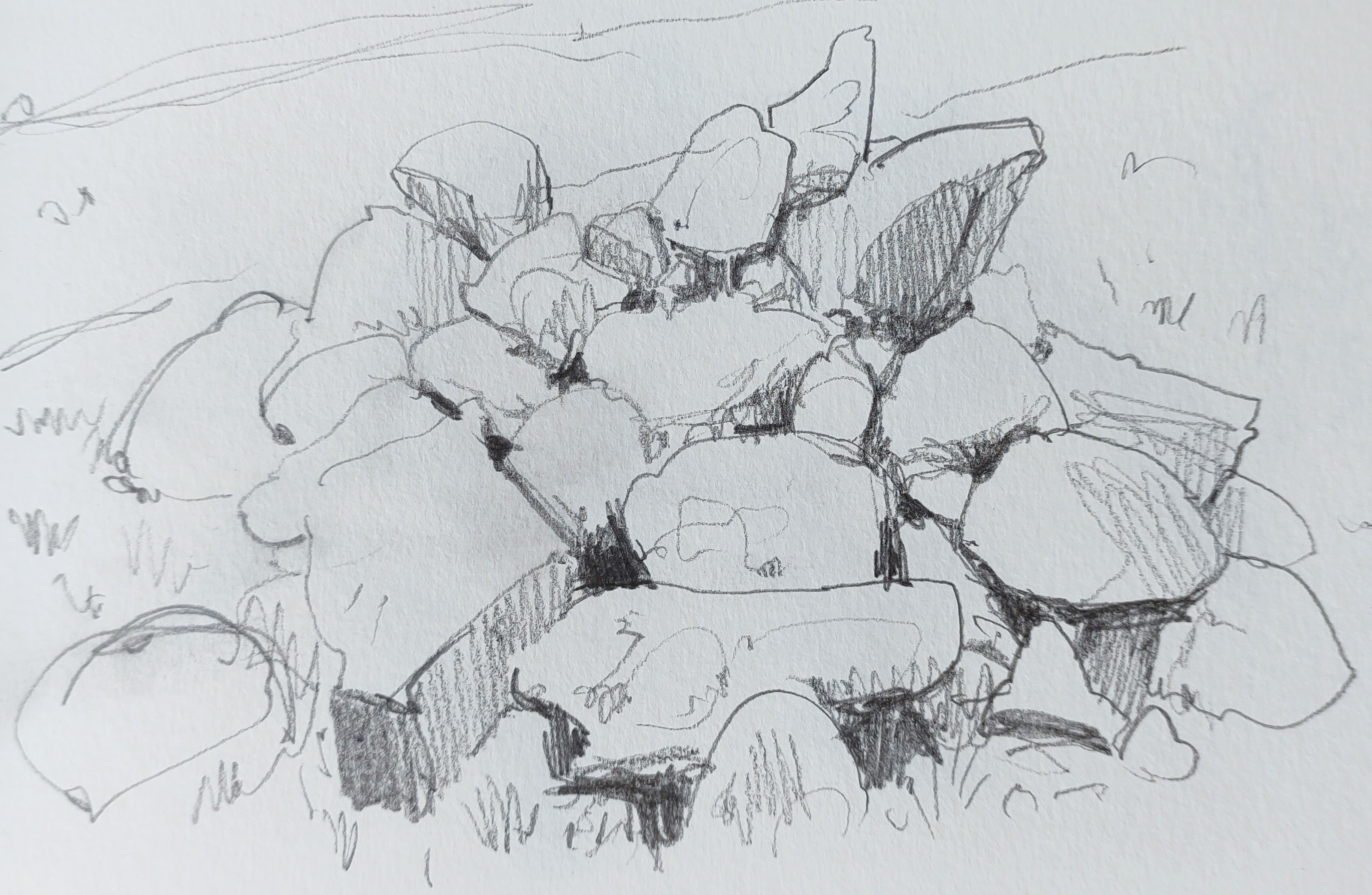
I pulled myself away from the marsh and walked back into the forest. An old hunting lodge had recently been converted into a shelter/gathering place for walkers, with information panels describing how this part of the island had been transformed from common grazing heathland into parish-owned forestry plantation over the previous hundred and fifty years or so. In the forest, it was still just about possible to make out the impressions of the old ‘Holloway’ tracks over the heath. The old way markers – piles of stones – still existed deep in the forest.
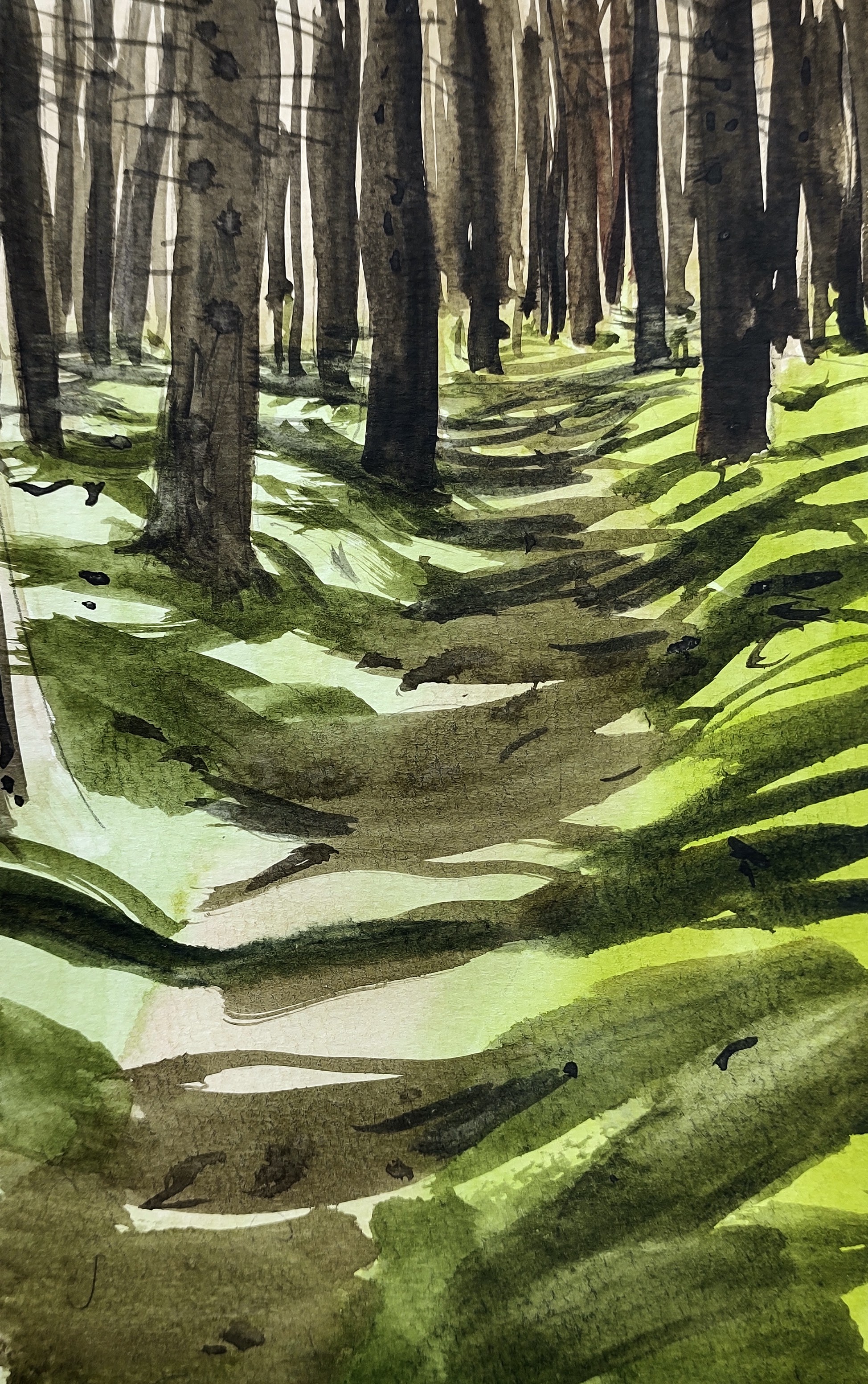
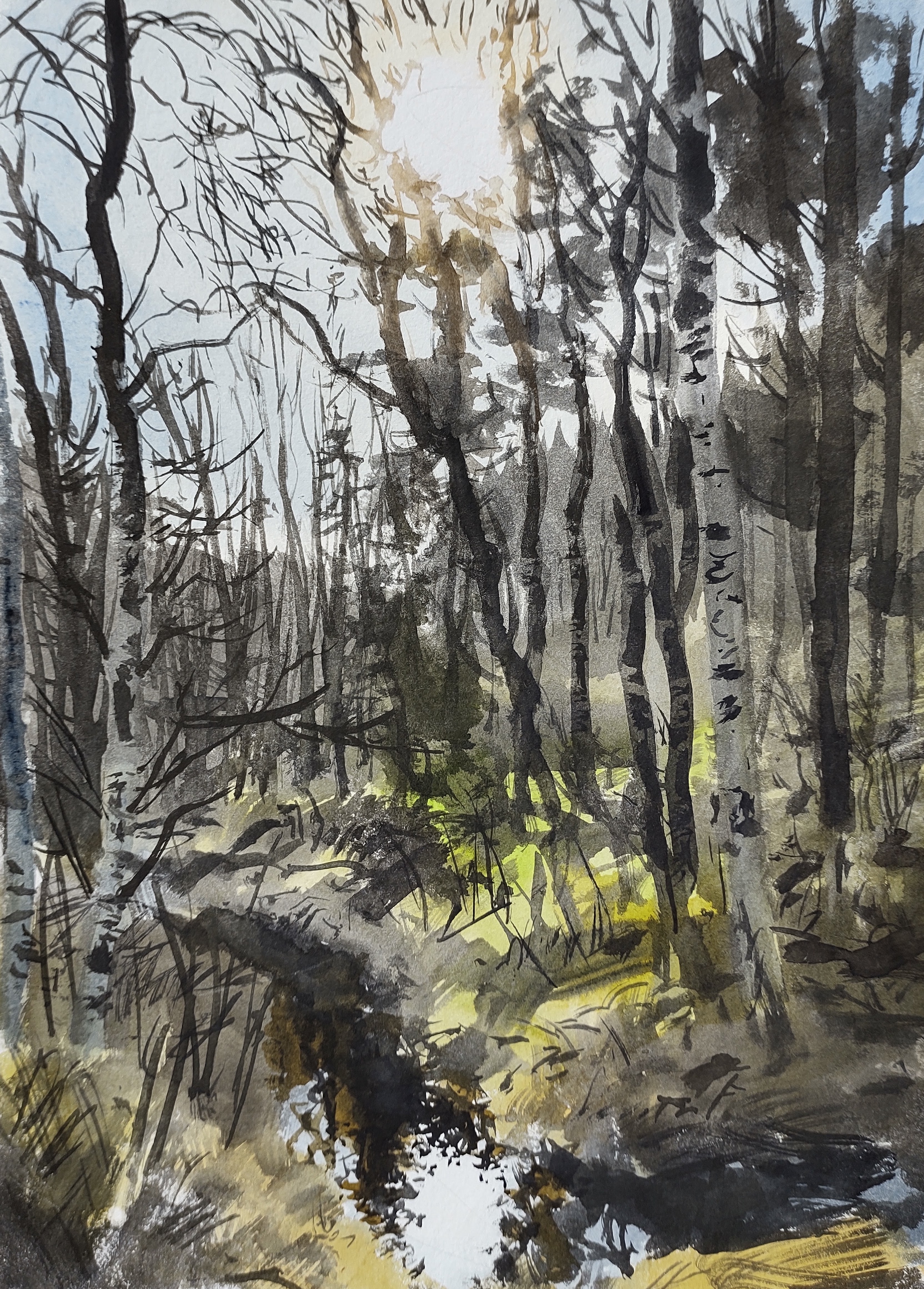
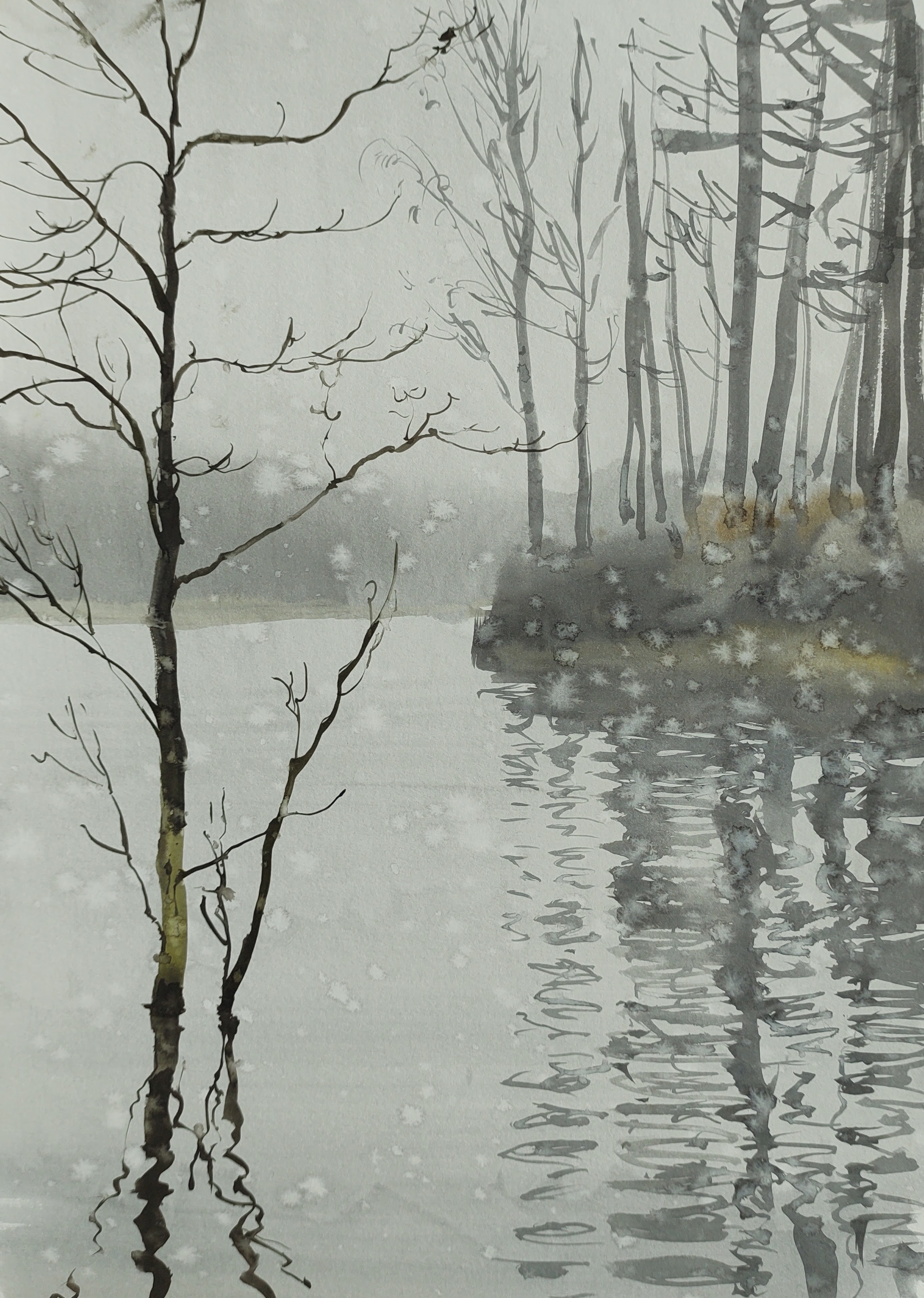
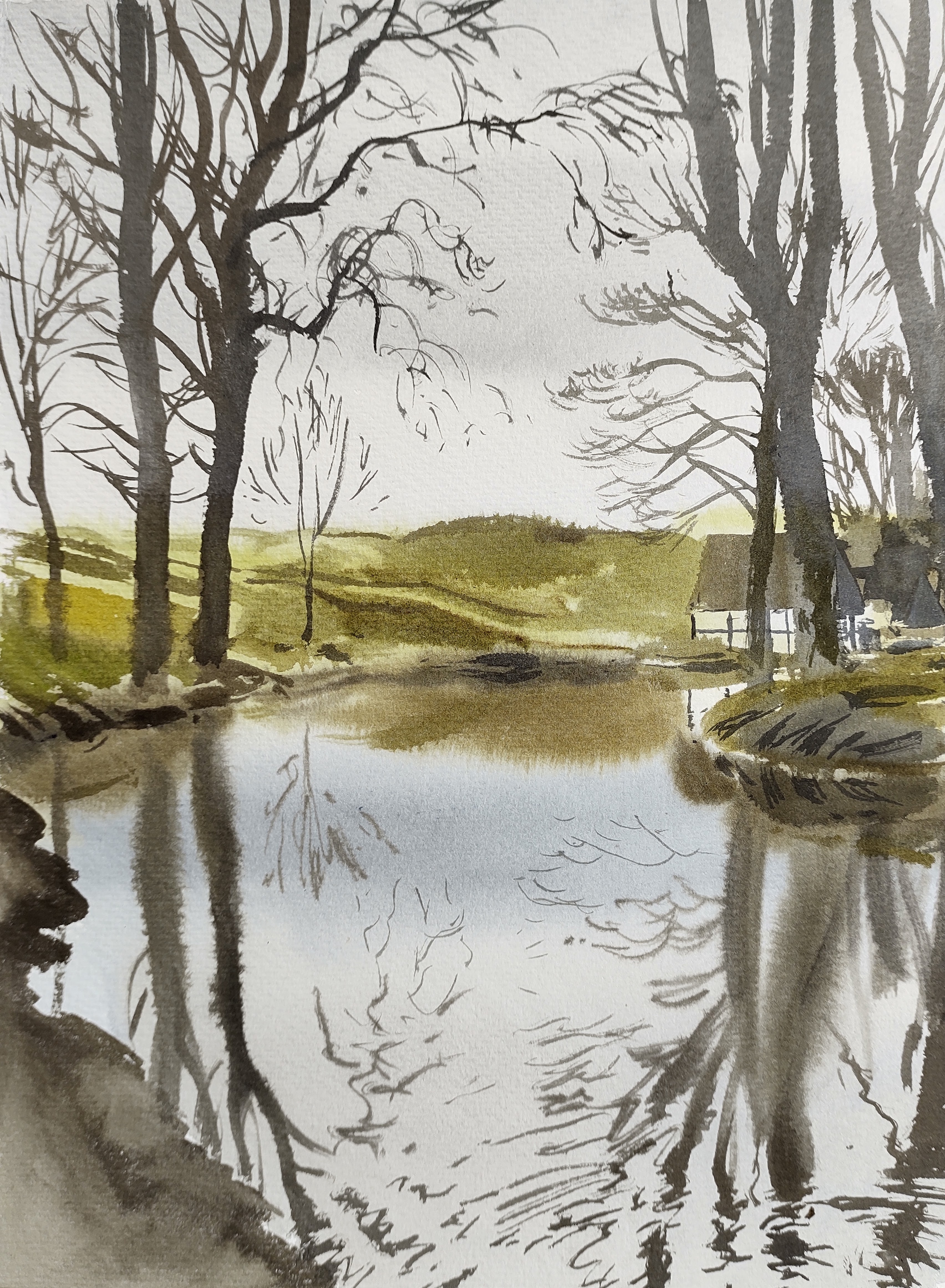
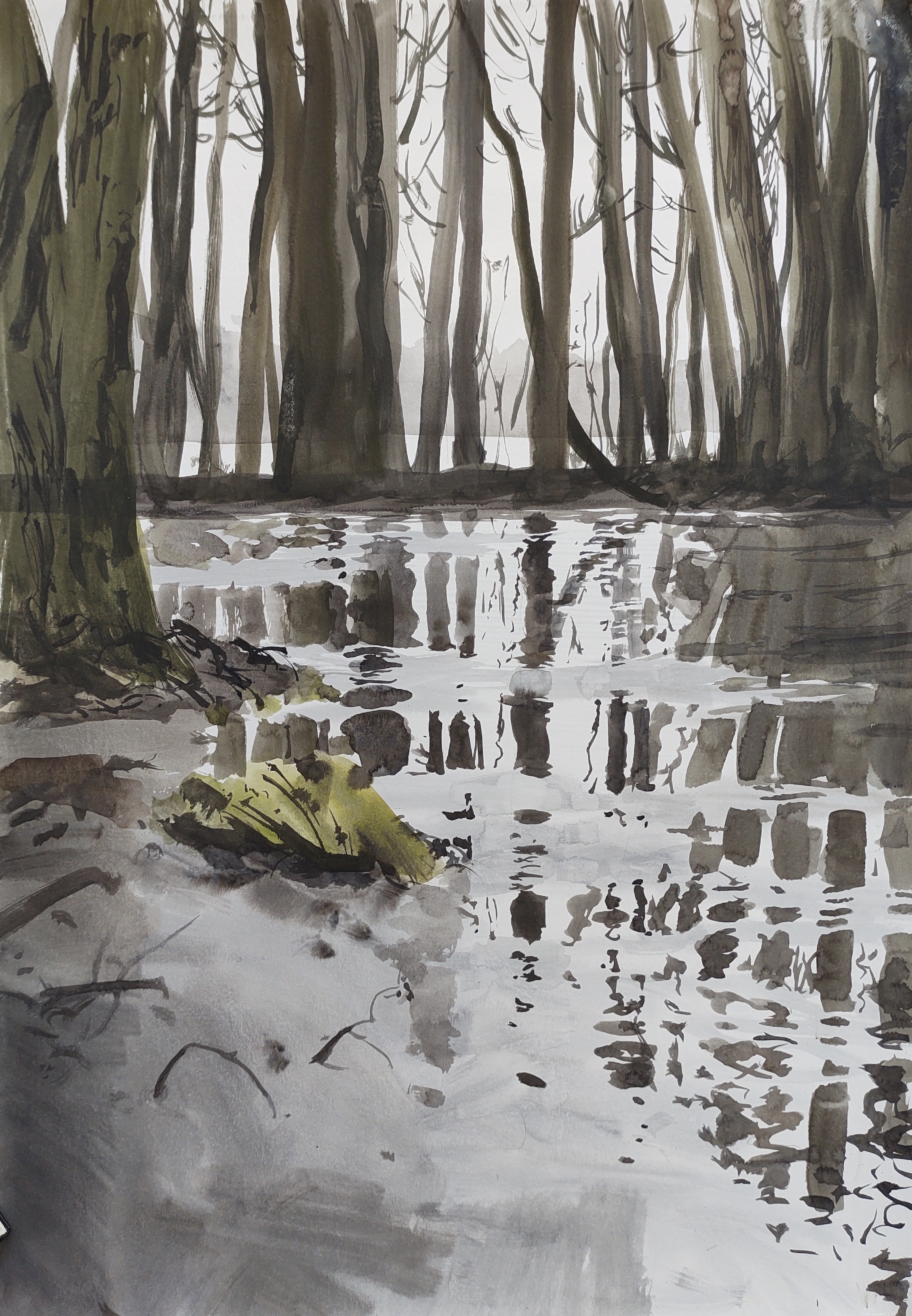
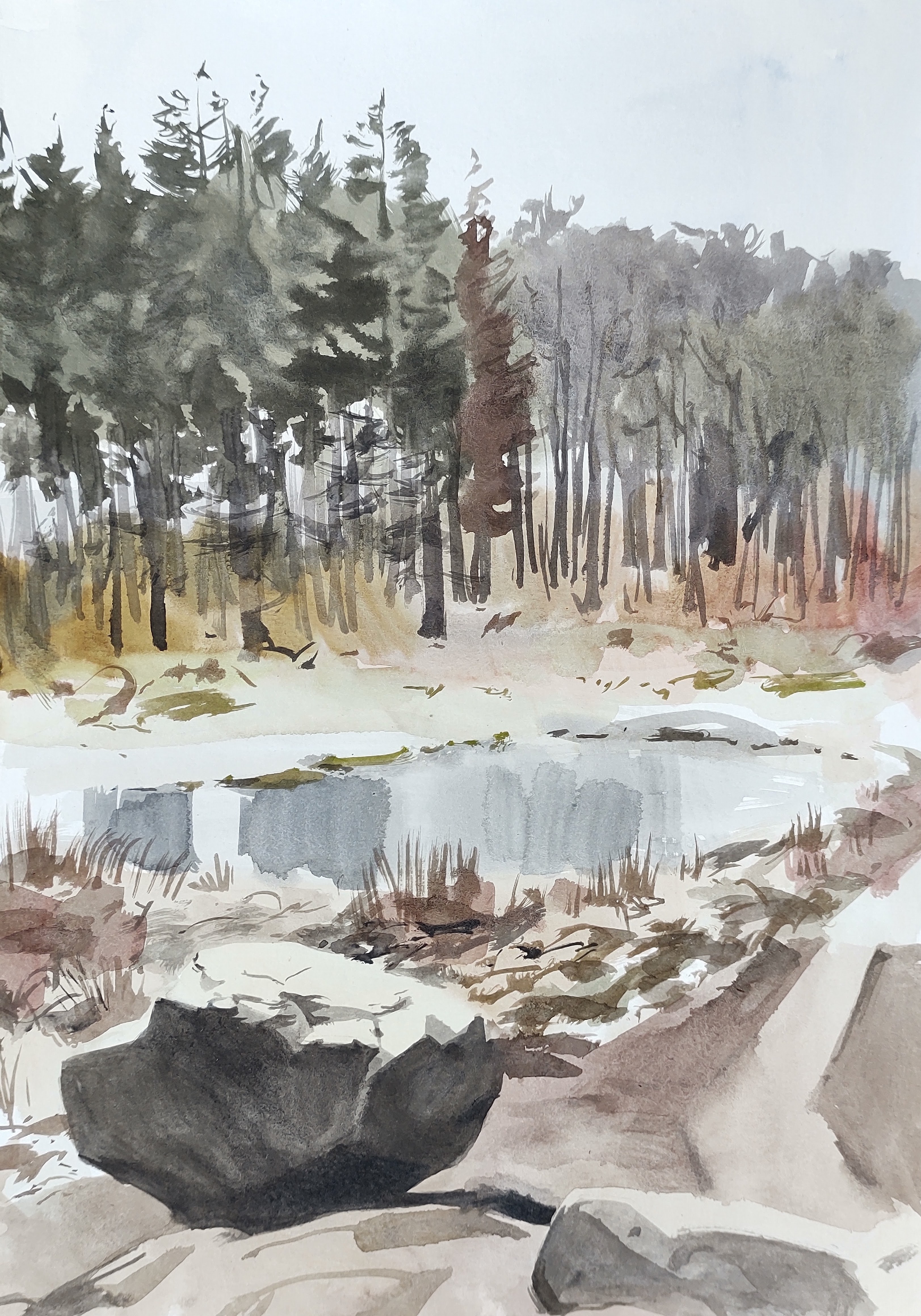
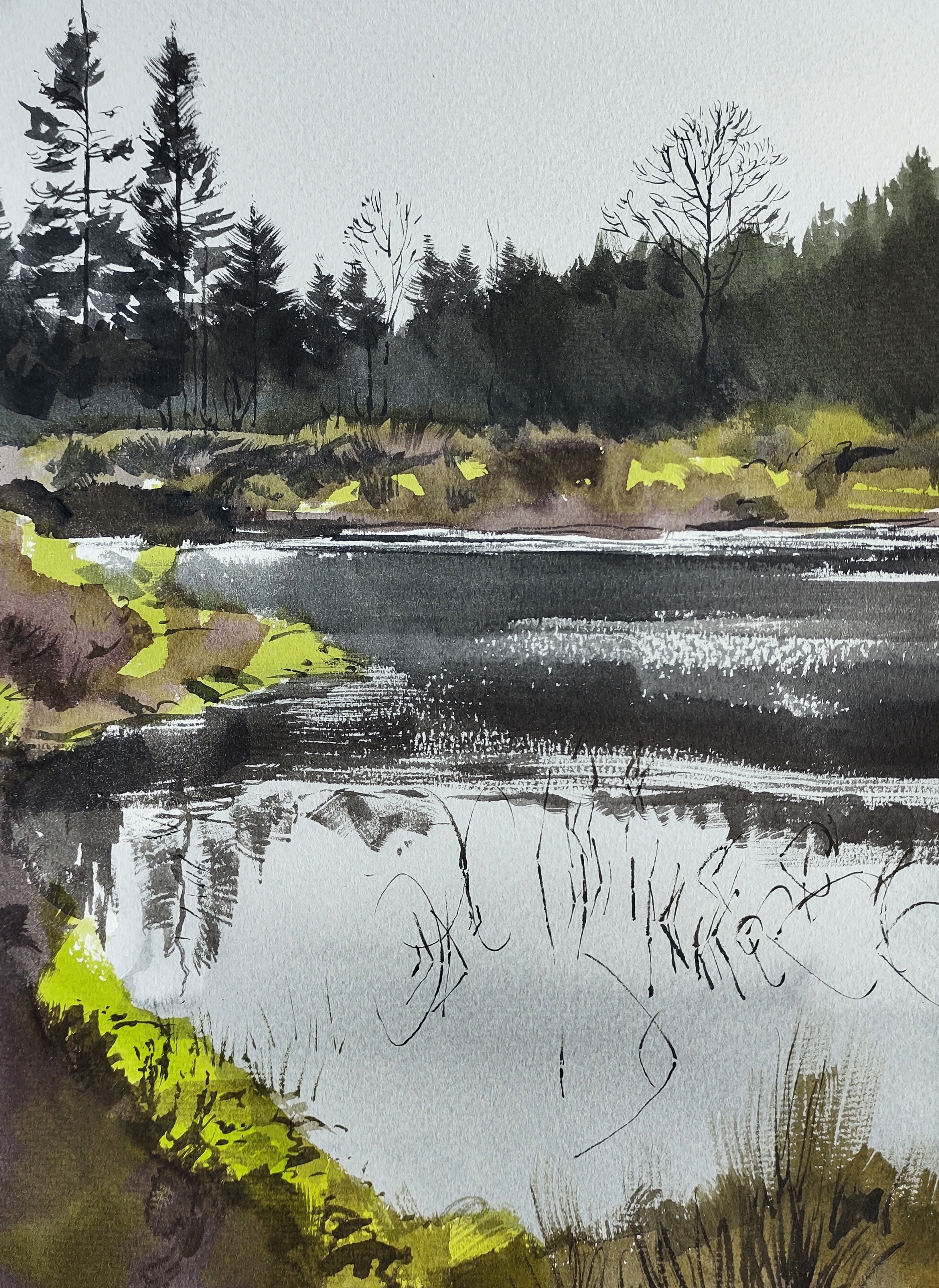
I walked on, crisscrossing between dark plantations and more open areas. I came to a large shallow pond, where I spent several hours gazing into the water and losing myself. I saw sticklebacks, agile frog tadpoles, smooth and great-created newts, water boatmen, diving beetles, and dragonfly larva. I could have spent all day there – far from everyone and everything.
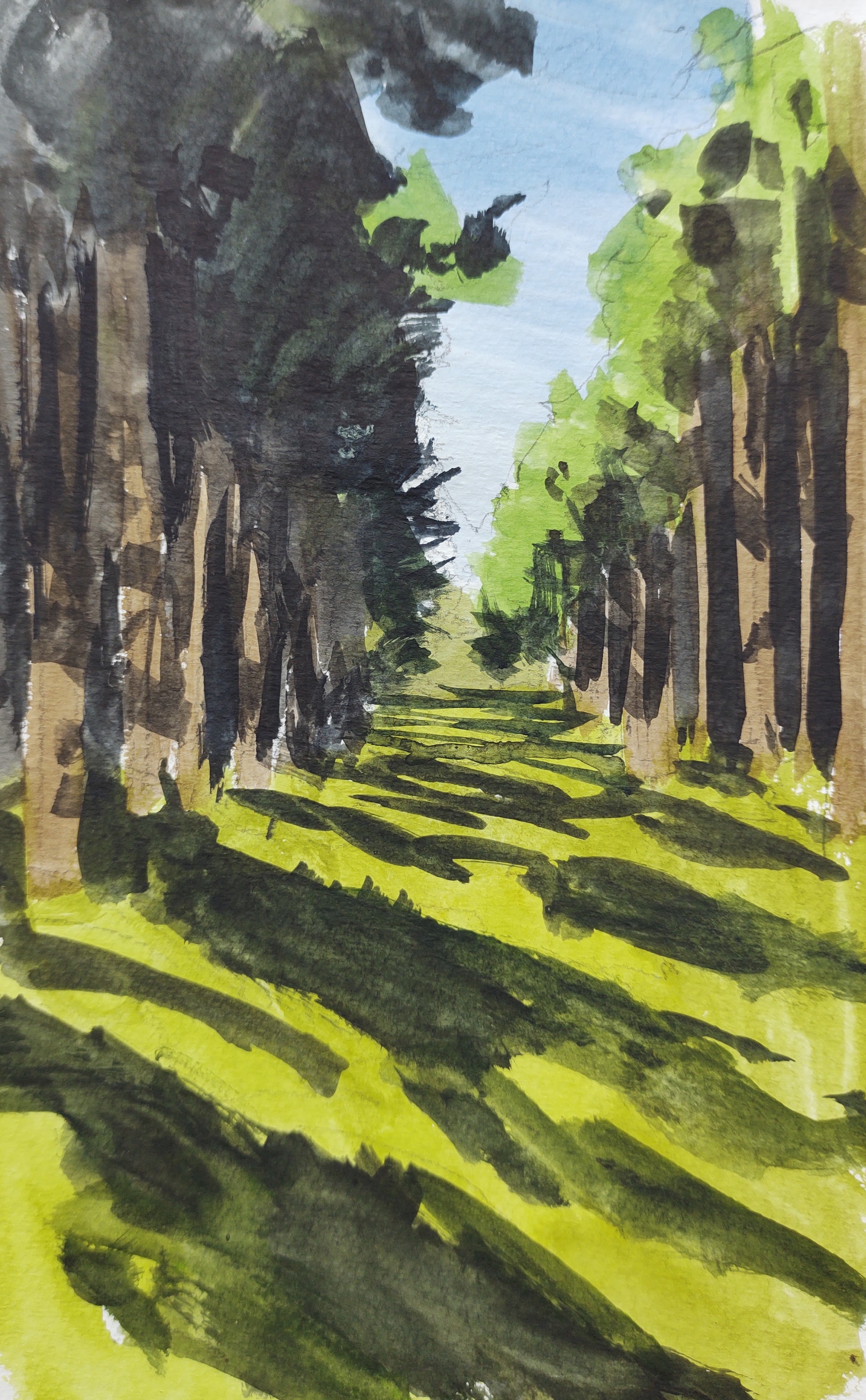
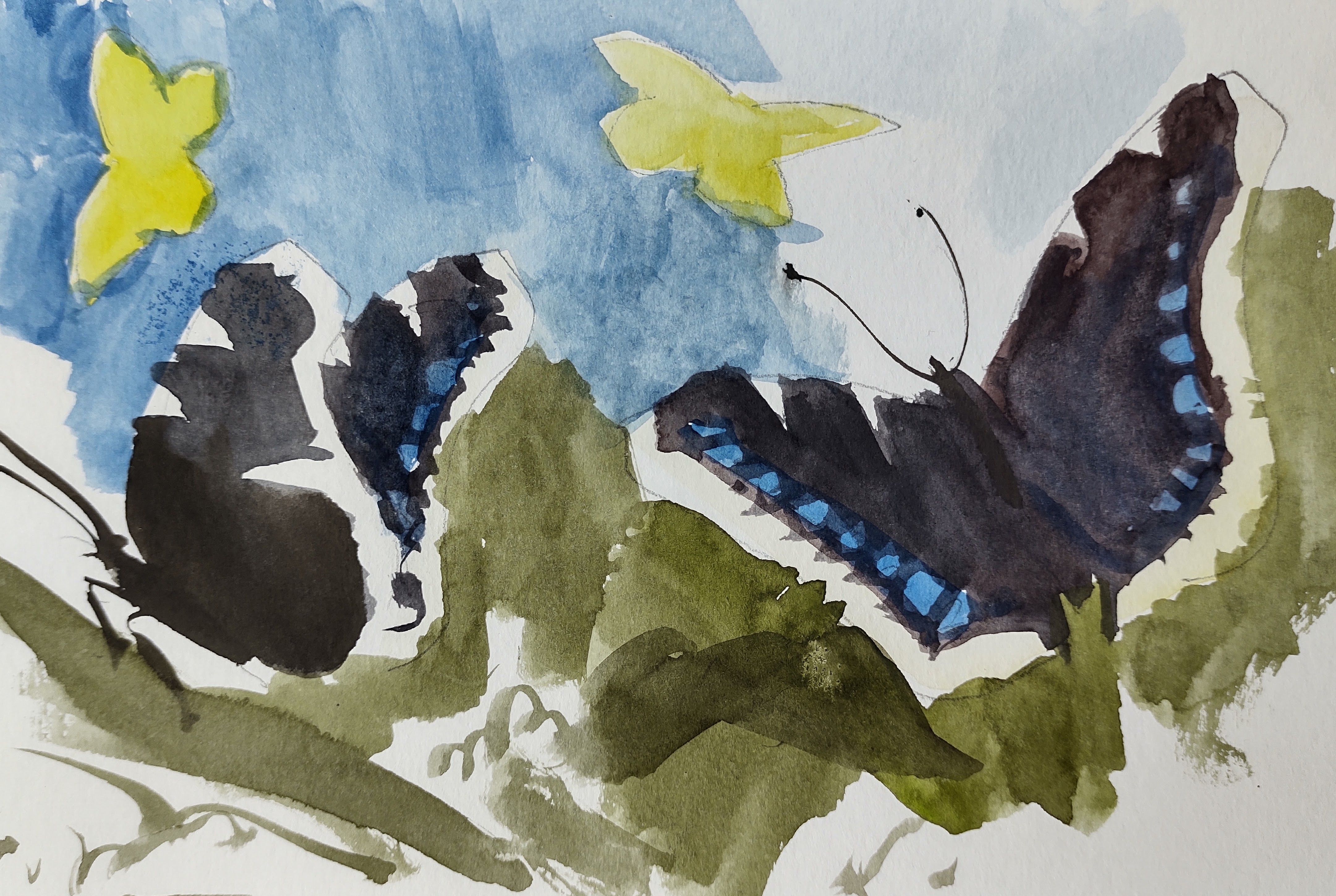
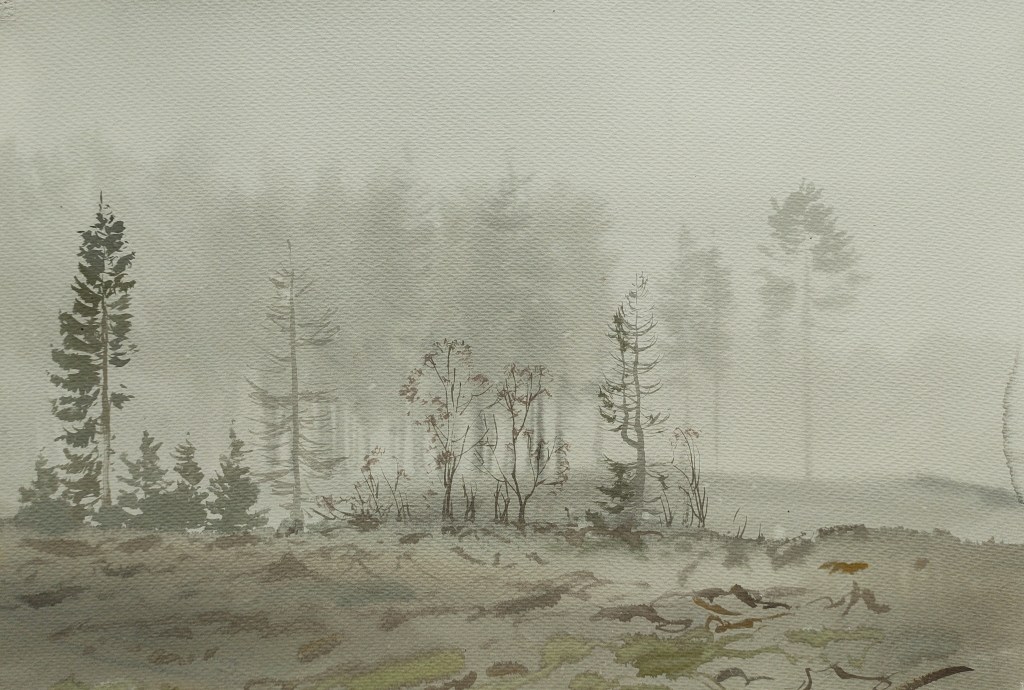
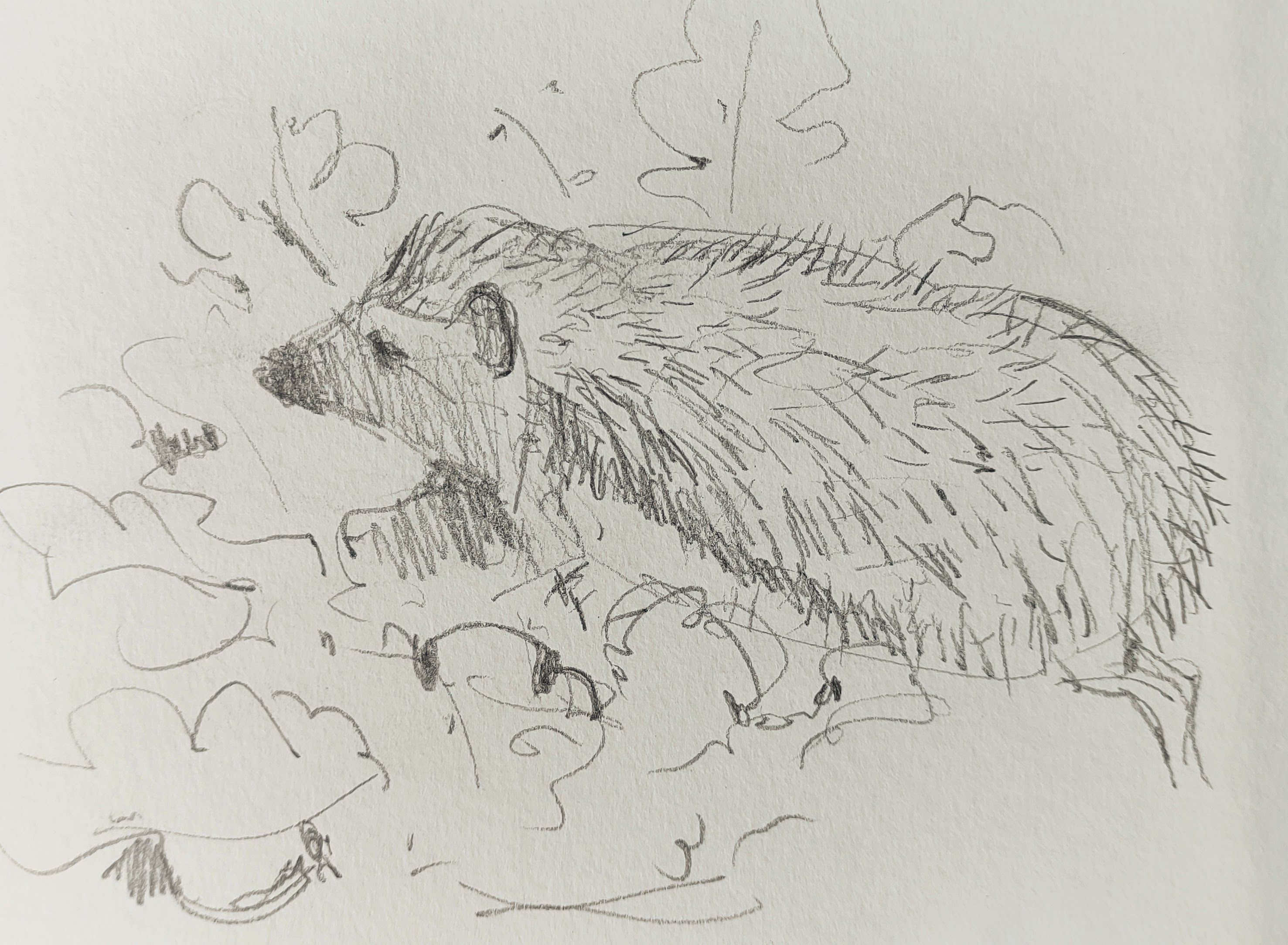
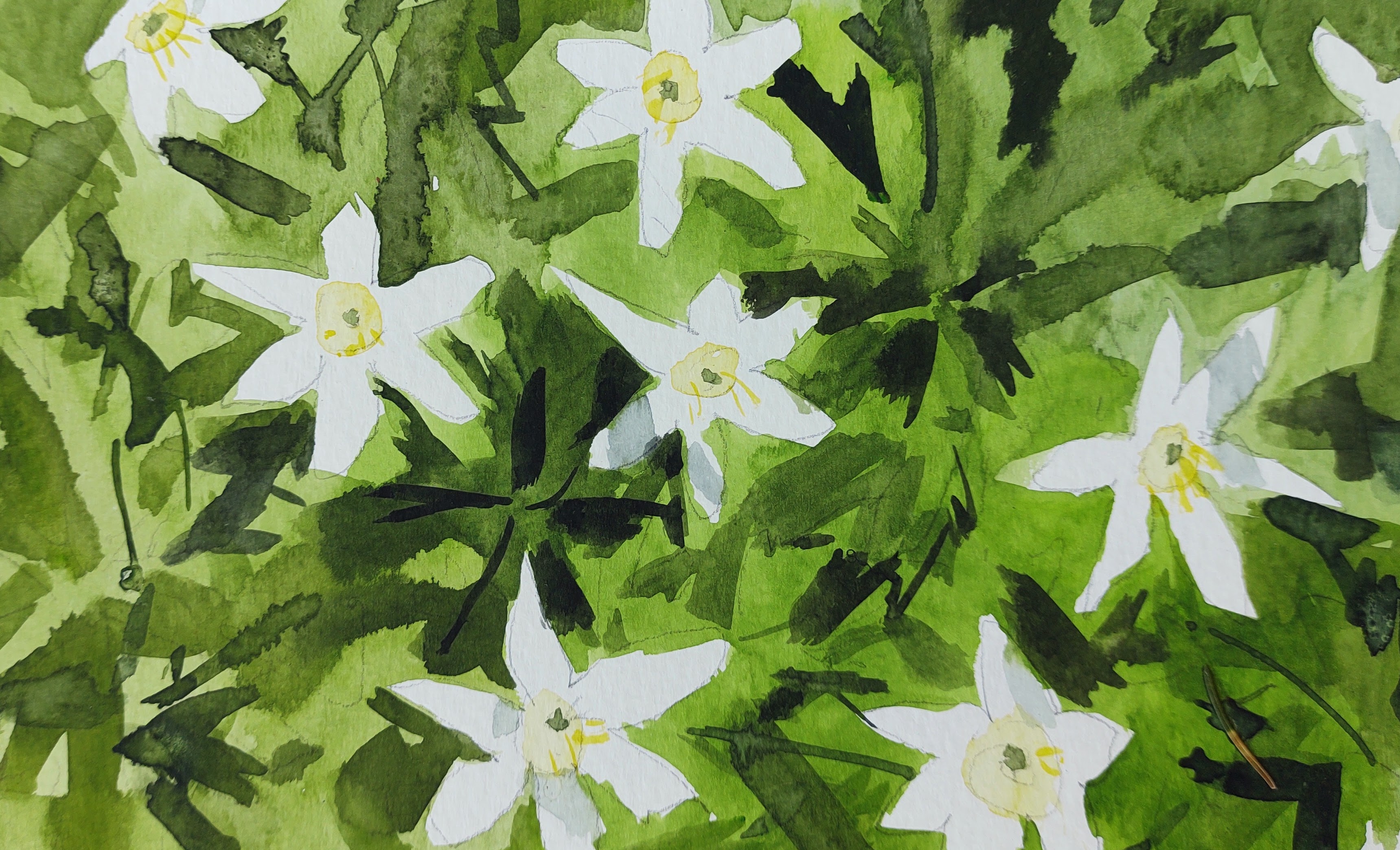
Back on the path, I headed into the forest. At times following paths, sometimes walking randomly through the trees. I stopped to draw an oblivious hedgehog, and some anemone.
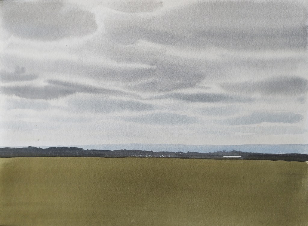
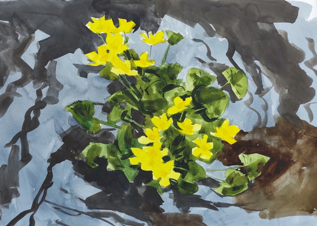
By the afternoon, the sun was hidden behind clouds, but in a ditch, some fantastic marsh marigolds did their best to compensate.
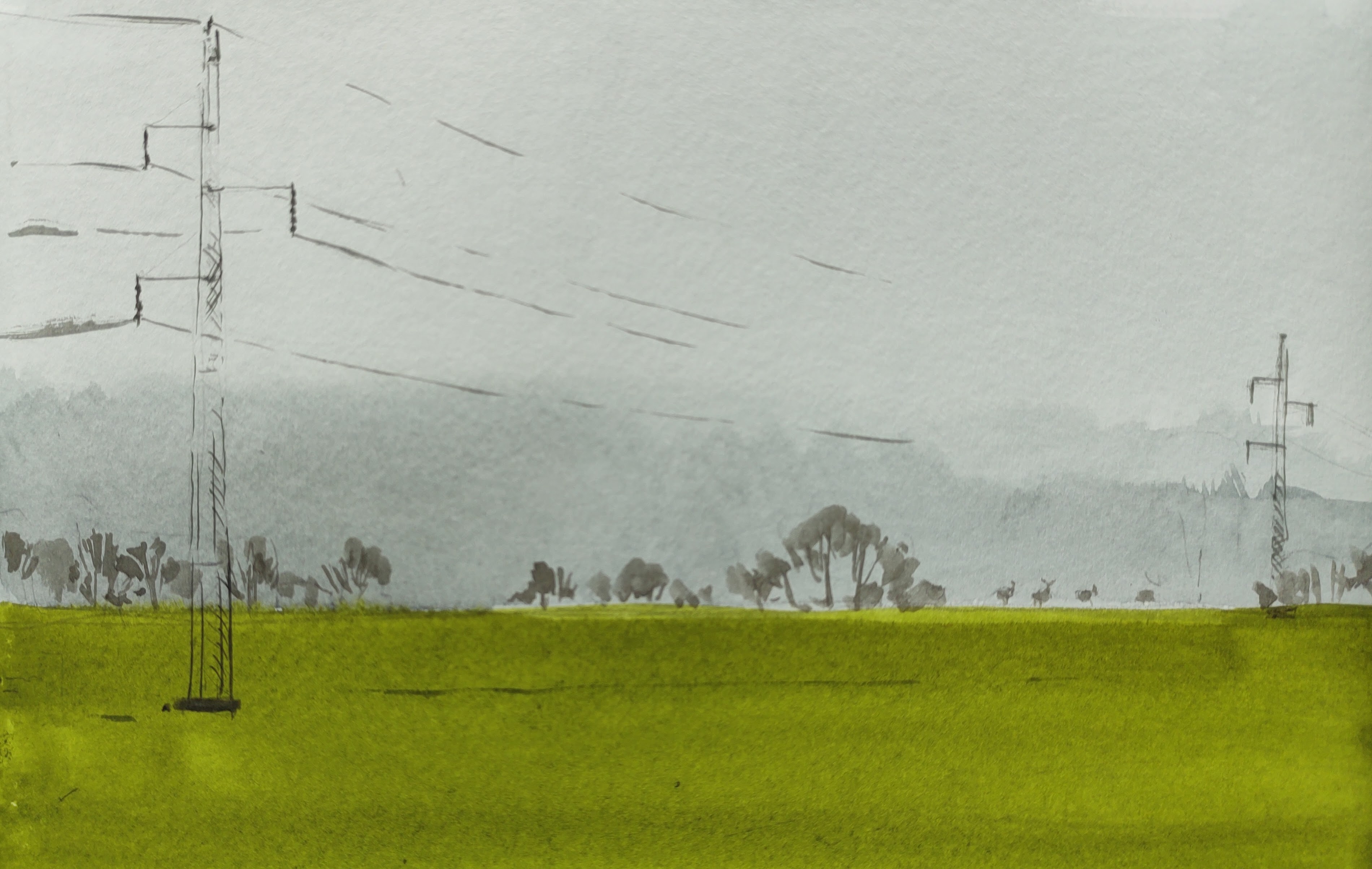
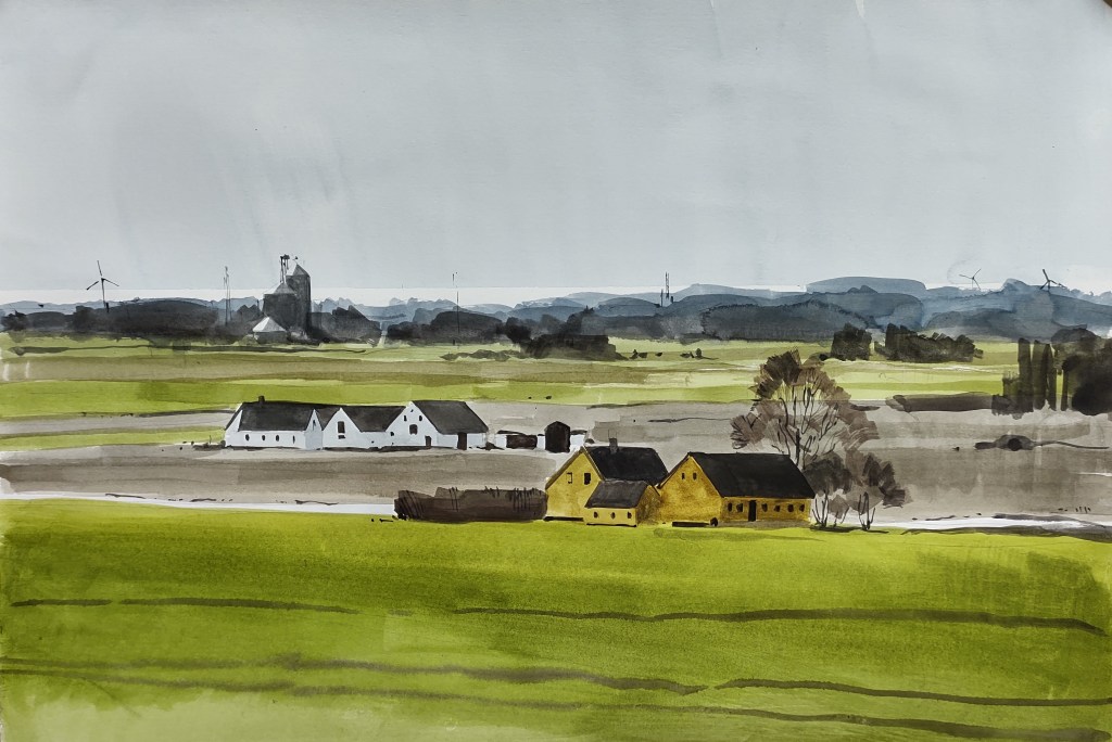
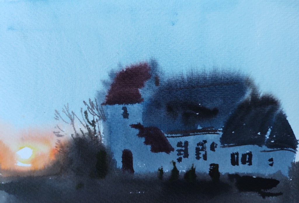
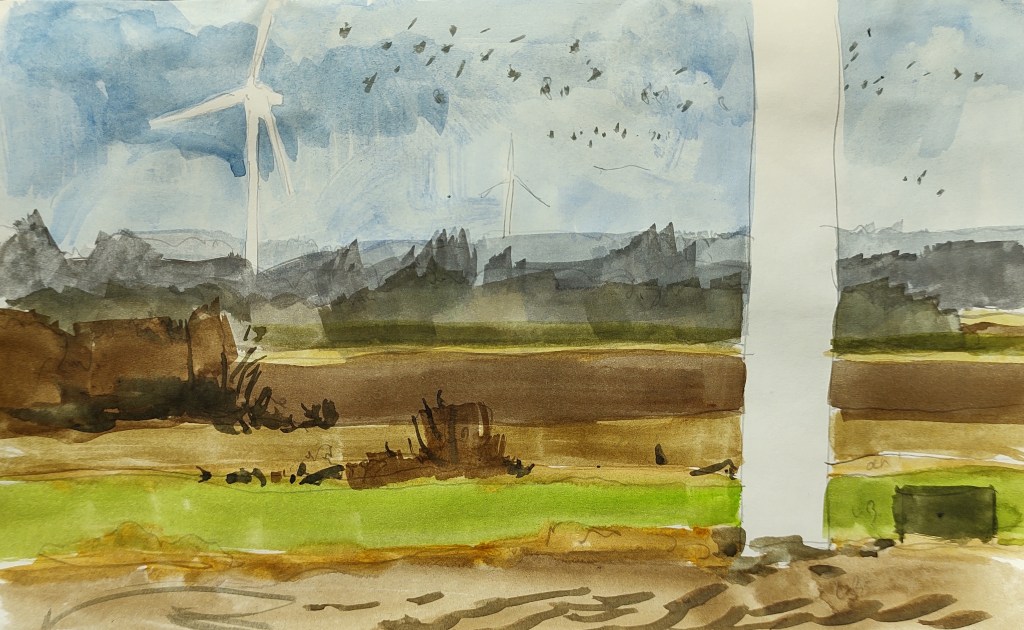
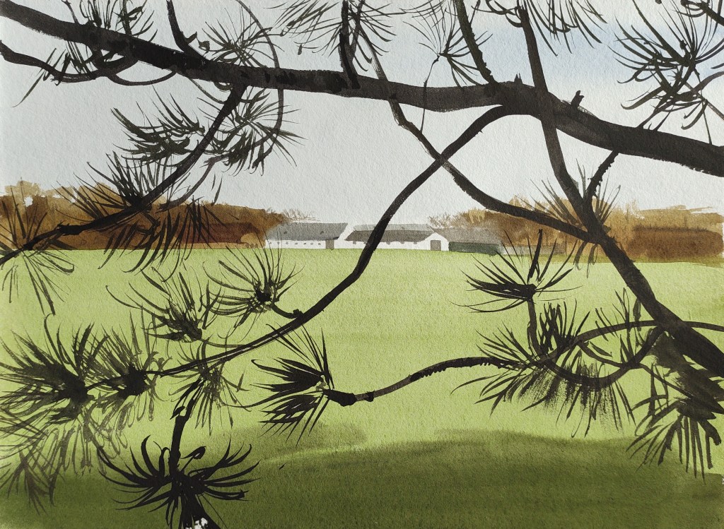
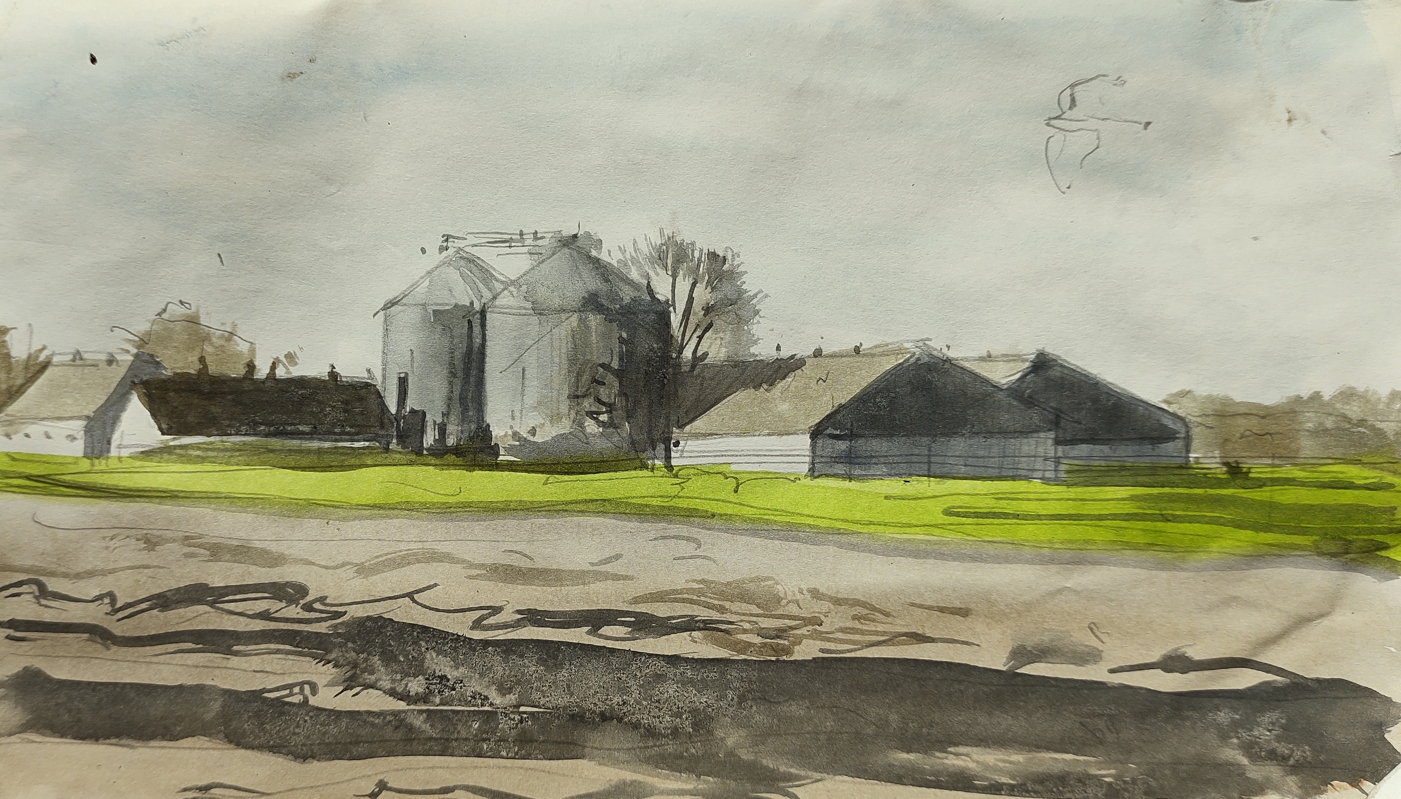
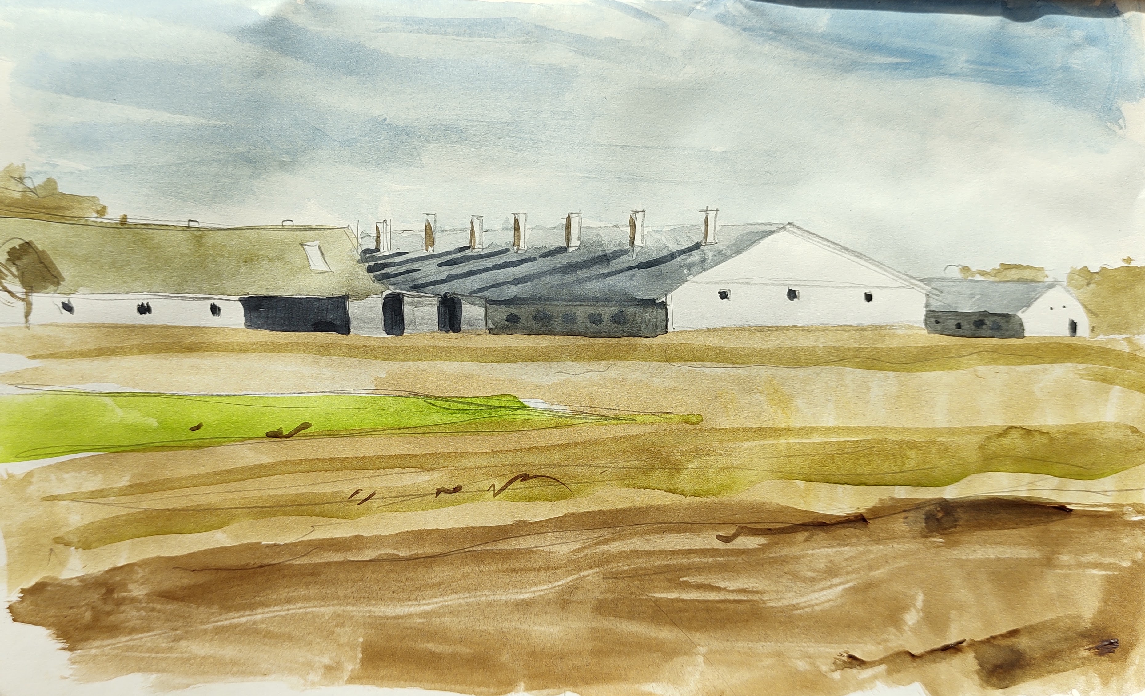
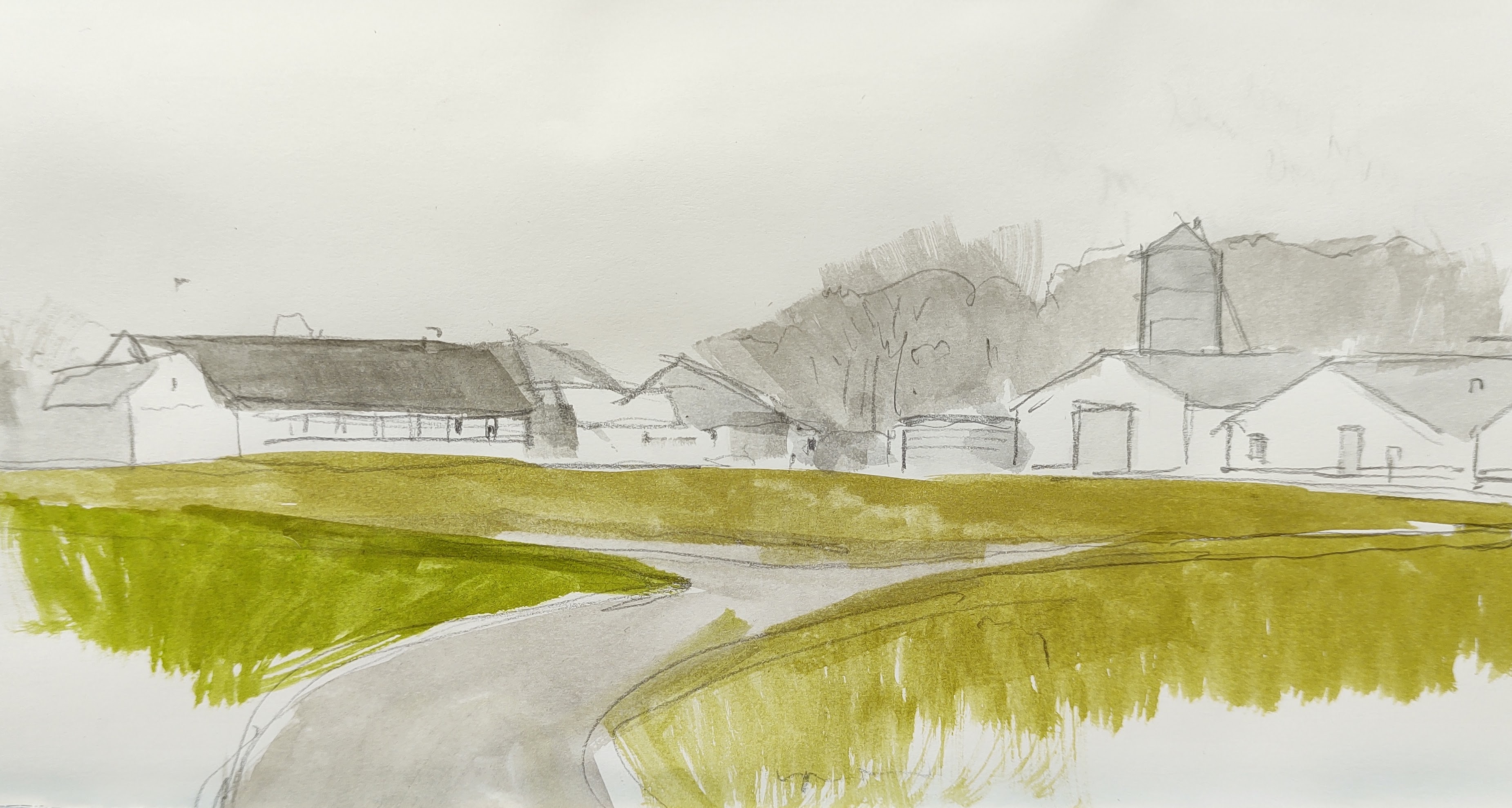
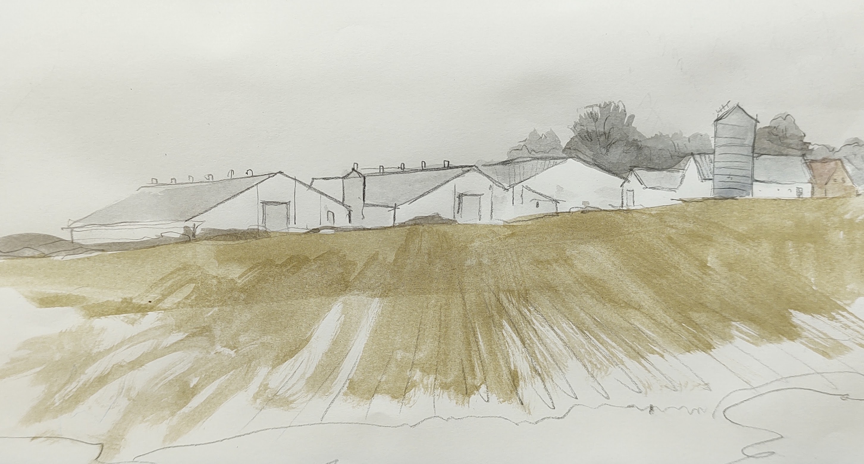
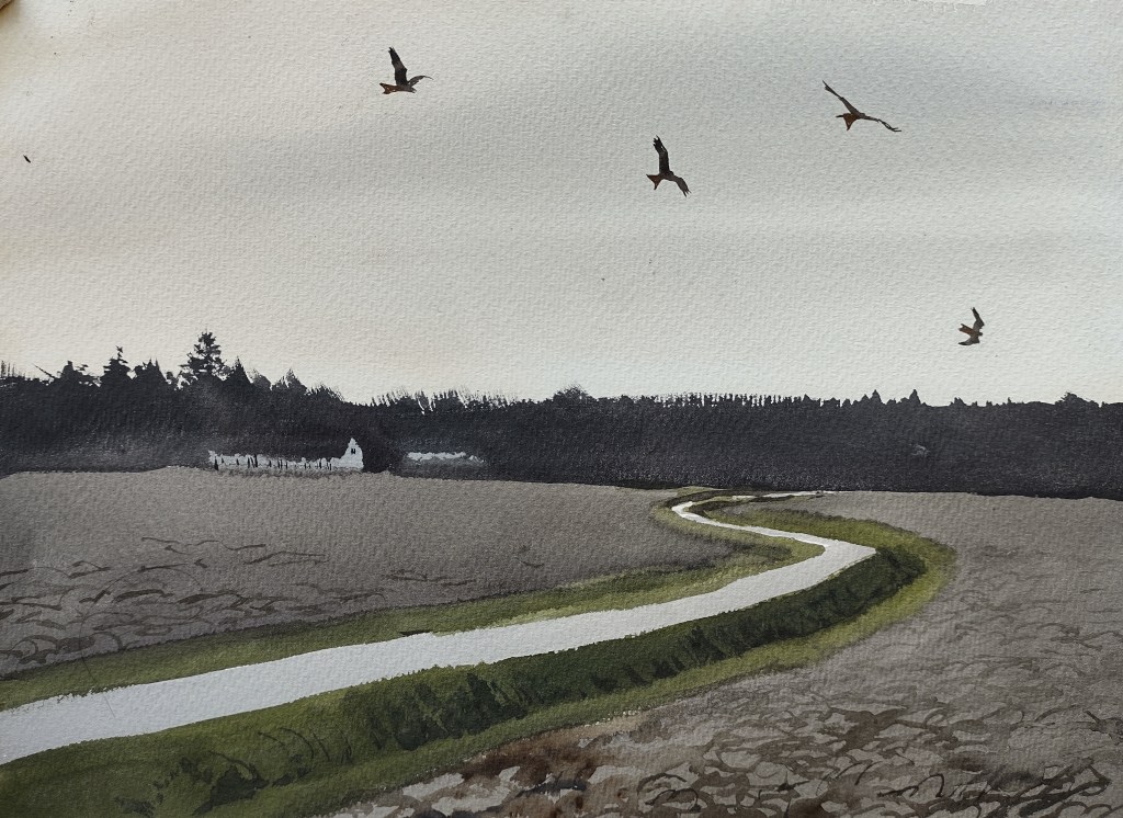
It had already been a fantastically long day – I was exhausted but far from the day’s end point. I stumbled out of the forest and headed south, down from the old ‘high heath’ and towards the fields and farms of southern Bornholm again. Looking back up to the plantation, I watched a line of red kites gathering in the gloom, to roost in some secret place deep in the forest.
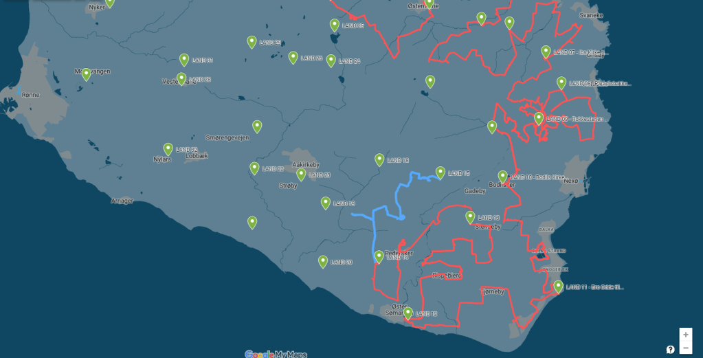
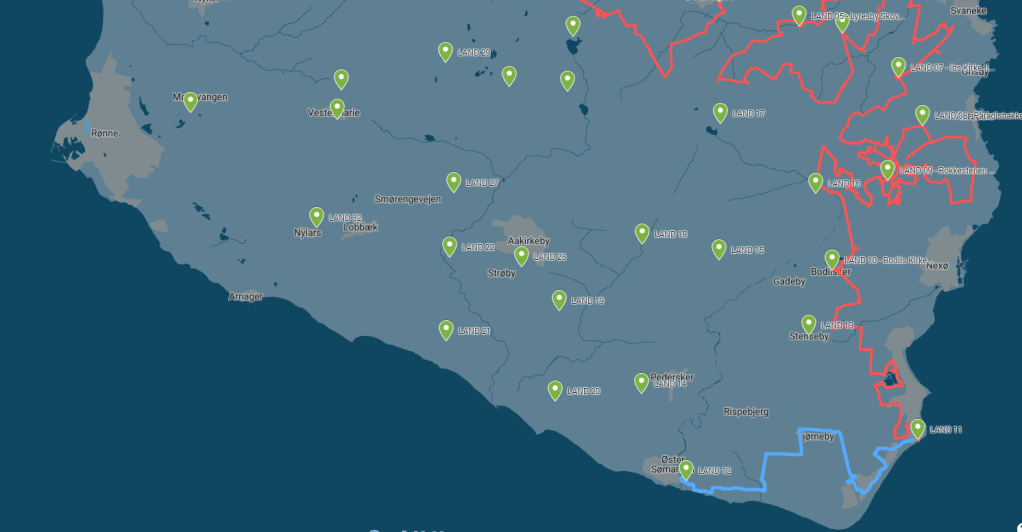
LAND 1
WEATHER REPORT – Sunny morning, hazy then cloudy in the afternoon. Temperature 0 – 11 degrees. Wind 0 – 4 m/s changeable. Hours of precipitation: 0 hours. Hours of sunshine: 8 hours.
STOPS with the BIVVY – 0
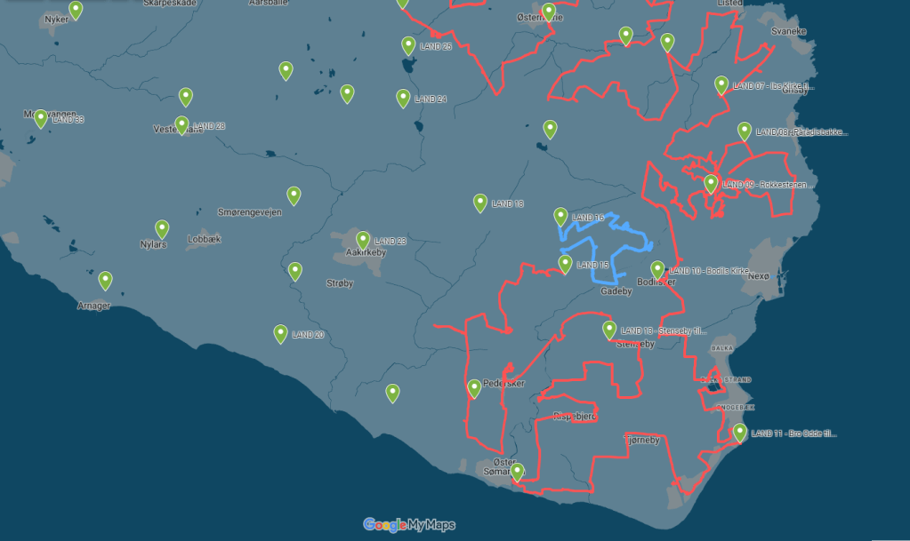
KILOMETRES WALKED – 16.62 km
DAY LASTED – 15h and 30 m
PEOPLE TALKED TO – 3
BIRDS SEEN and HEARD – 52 species: 6 new (wigeon, redstart, whinchat, blackcap, willow warbler, reed bunting, running total = 88 species)
LESSONS LEARNED – Bring more water next time. I had run out by early afternoon.
IN MY HEAD – My pond. My kids. Chimpanzees. Biodiversity.