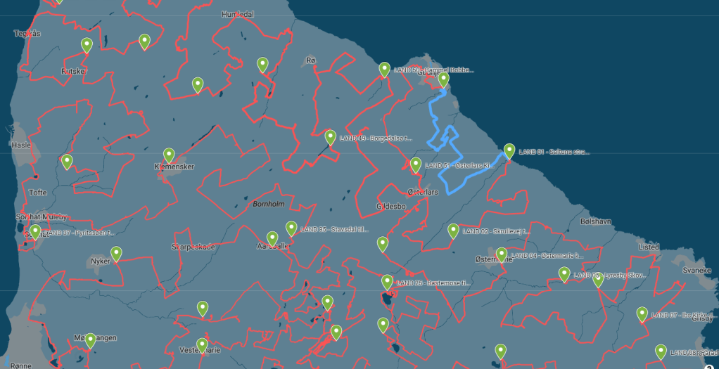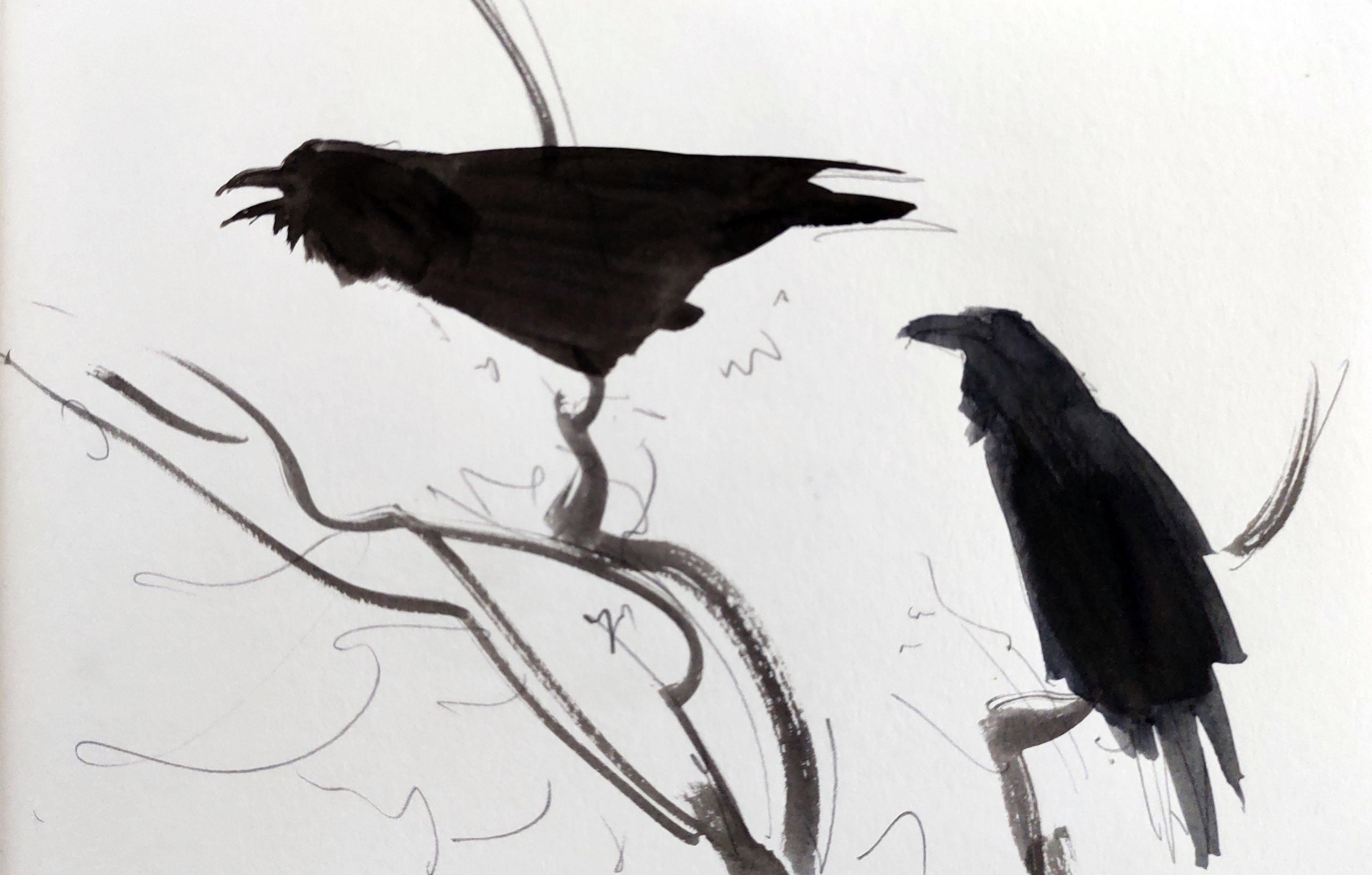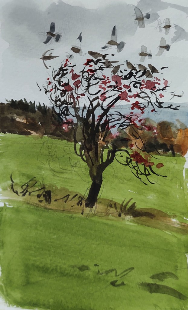
LAND 52 The final LAND trip. Dark skies, a howling gale, and horizontal face-stinging rain. Above me hundreds of jackdaws and rooks roused noisily from their slumber and congregated in the tops of the naked, wind-swaying trees.

I tried to find the path that followed the Melsted Stream, but the way was too waterlogged, and I was forced to turn back and take the road instead. I headed uphill into the teeth of the gale, past sodden fields, leaning into the wind at what felt like a ridiculous angle. The rain turned to hail, and I was glad, truly glad, that this was the last LAND trip.

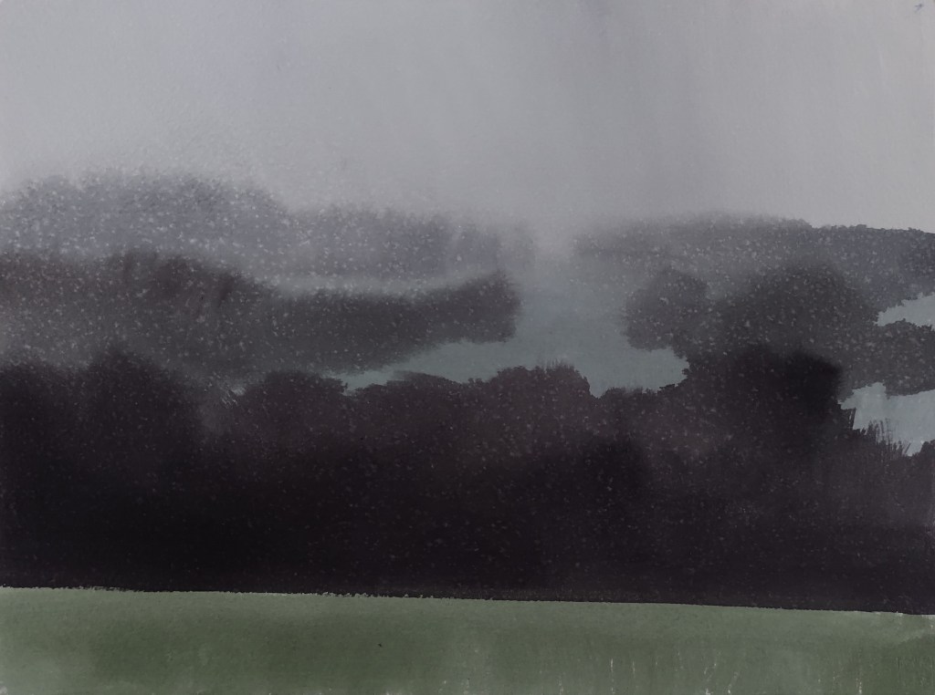
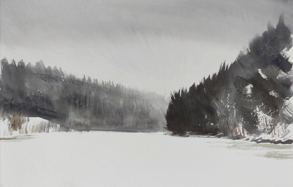
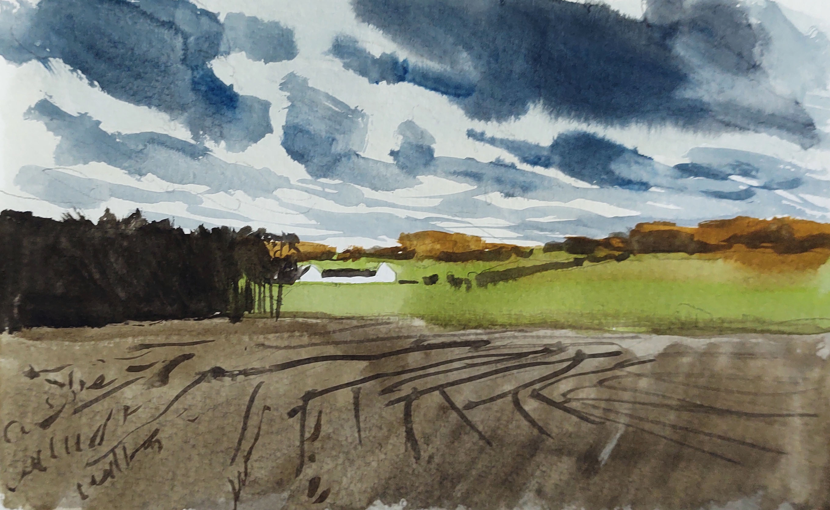
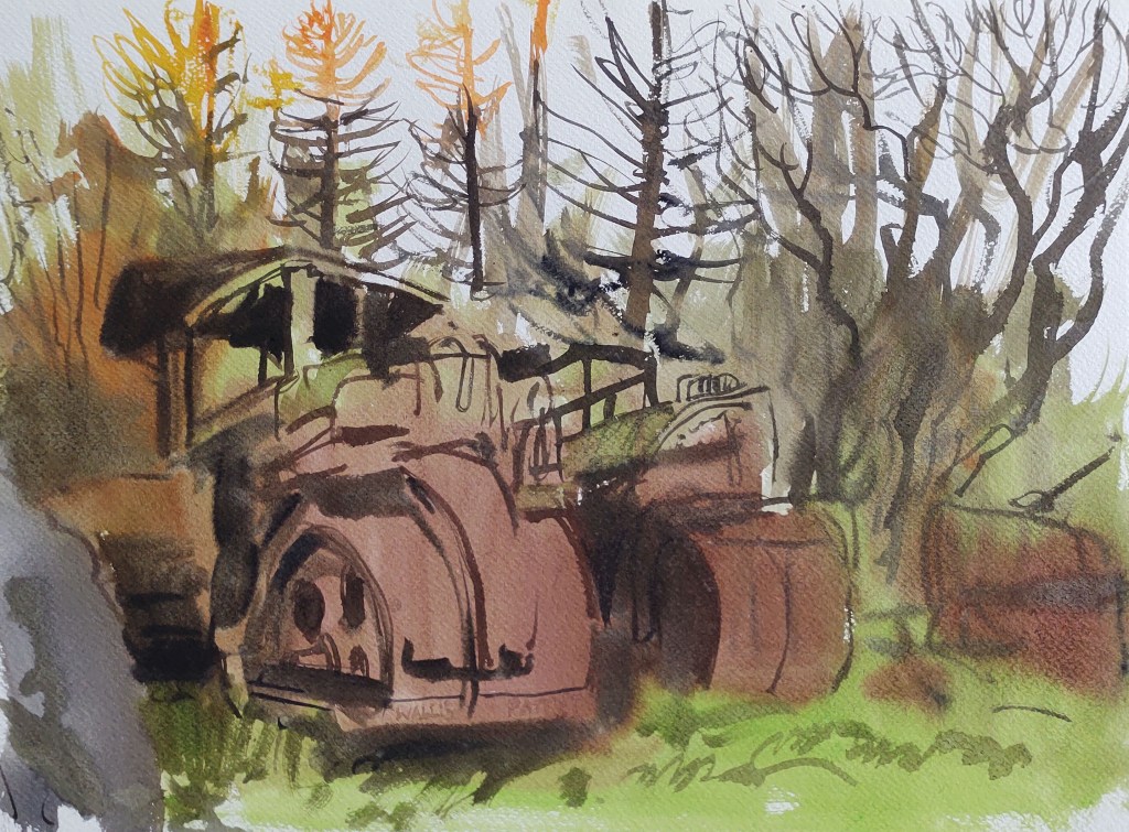
The skies were full of energy, as wave after wave of rain passed through the island and onwards over the boiling Baltic Sea. In one of the rain pauses I got started on a painting, but had to abort as the rain returned, my umbrella useless in the gusting wind.

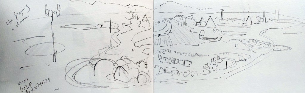
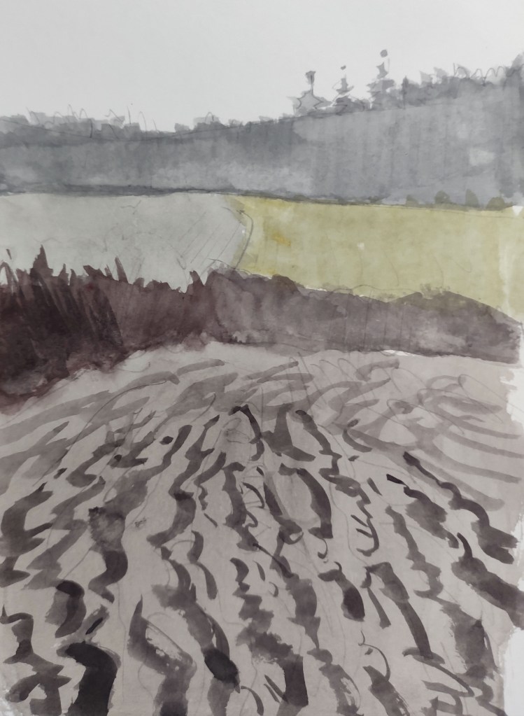
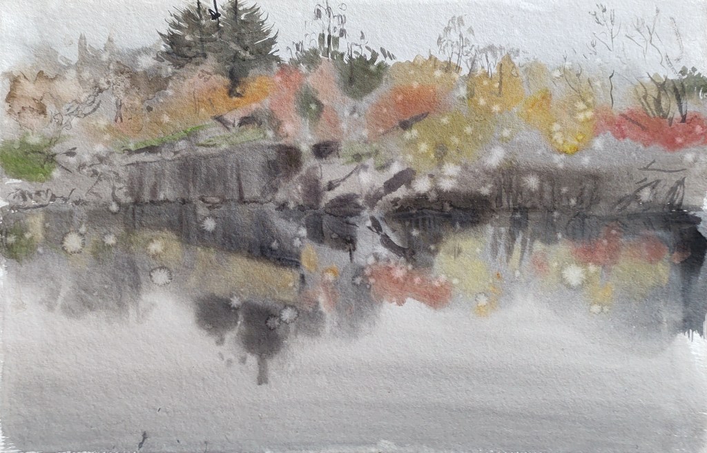
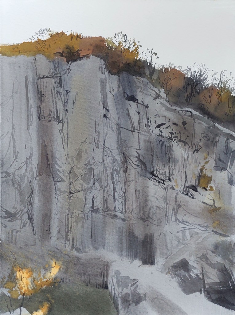
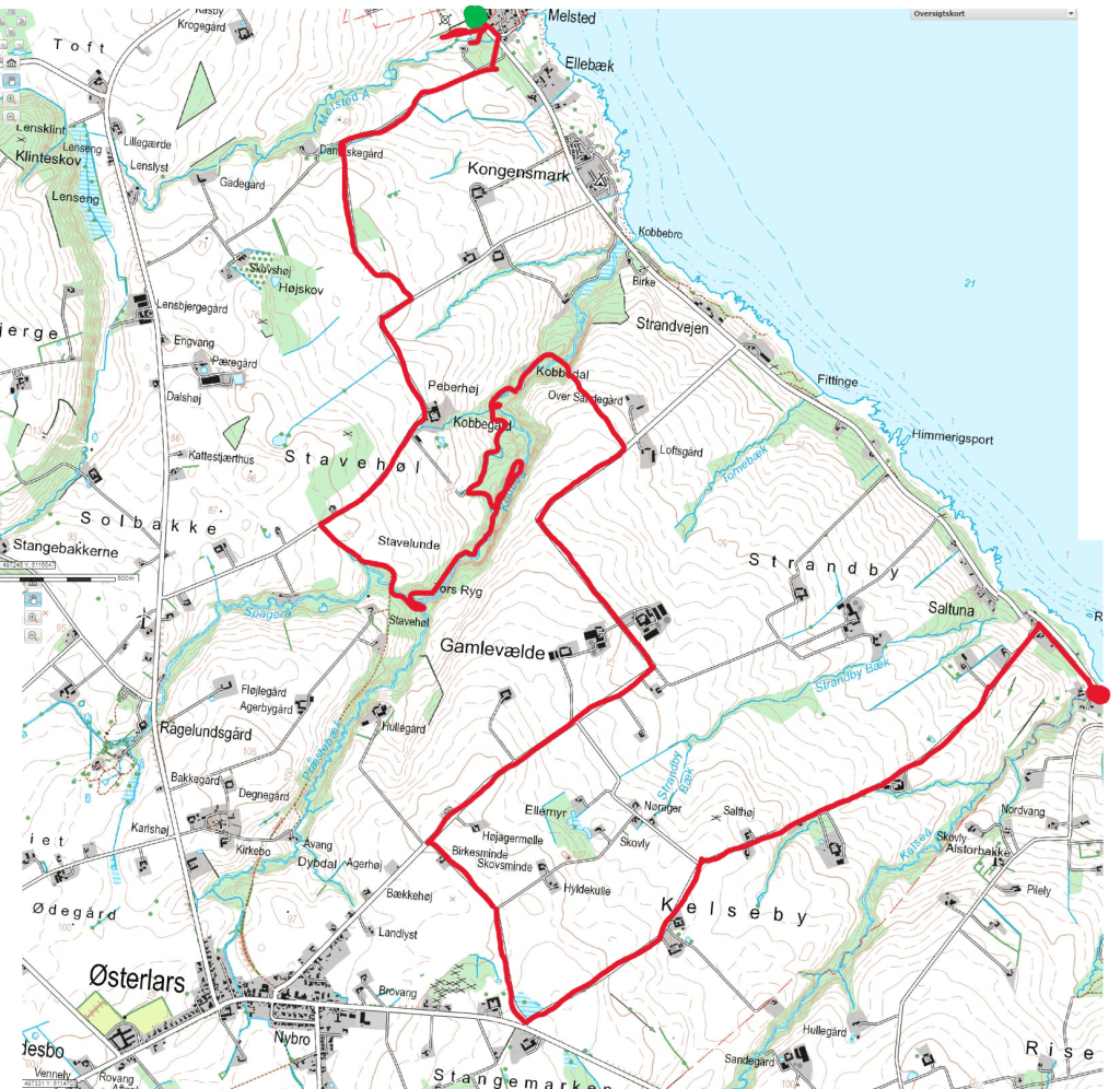
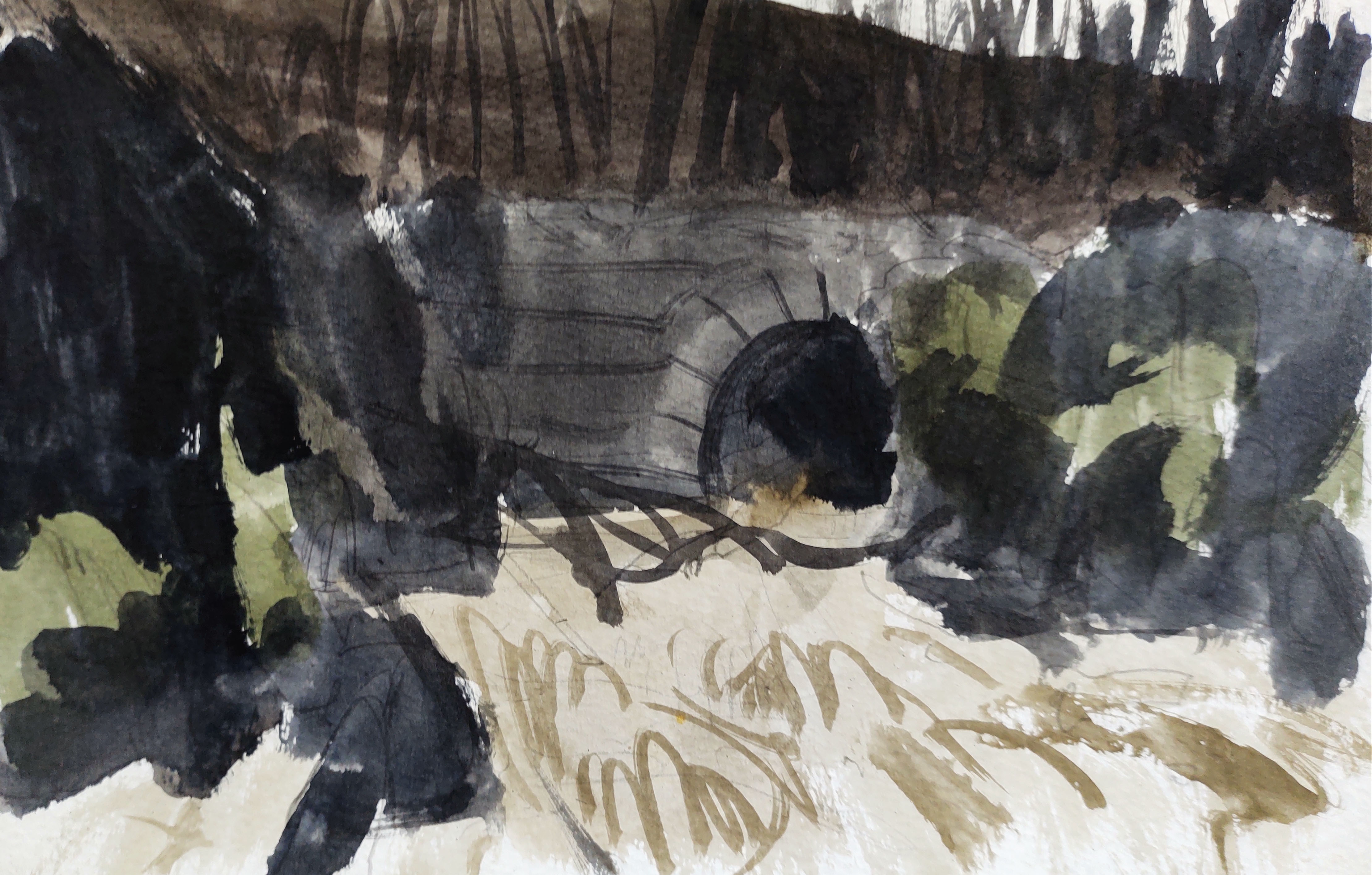
Eventually I reached the relative shelter of the Kobbe stream rift valley, where I sketched the thunderous Stavehøl waterfall and the old railway tunnel.

The stream was in full spate, a roaring cappuccino torrent, cutting through the steep-sided wooded valley. Never before had I seen so much water on Bornholm.

The usual path along the stream’s edge had been replaced by one further up the valley edge, which I followed for a while, before cutting back down to the stream. Several times, however, I was forced to make my own way through the muddy valley sides, as the path was completely flooded.
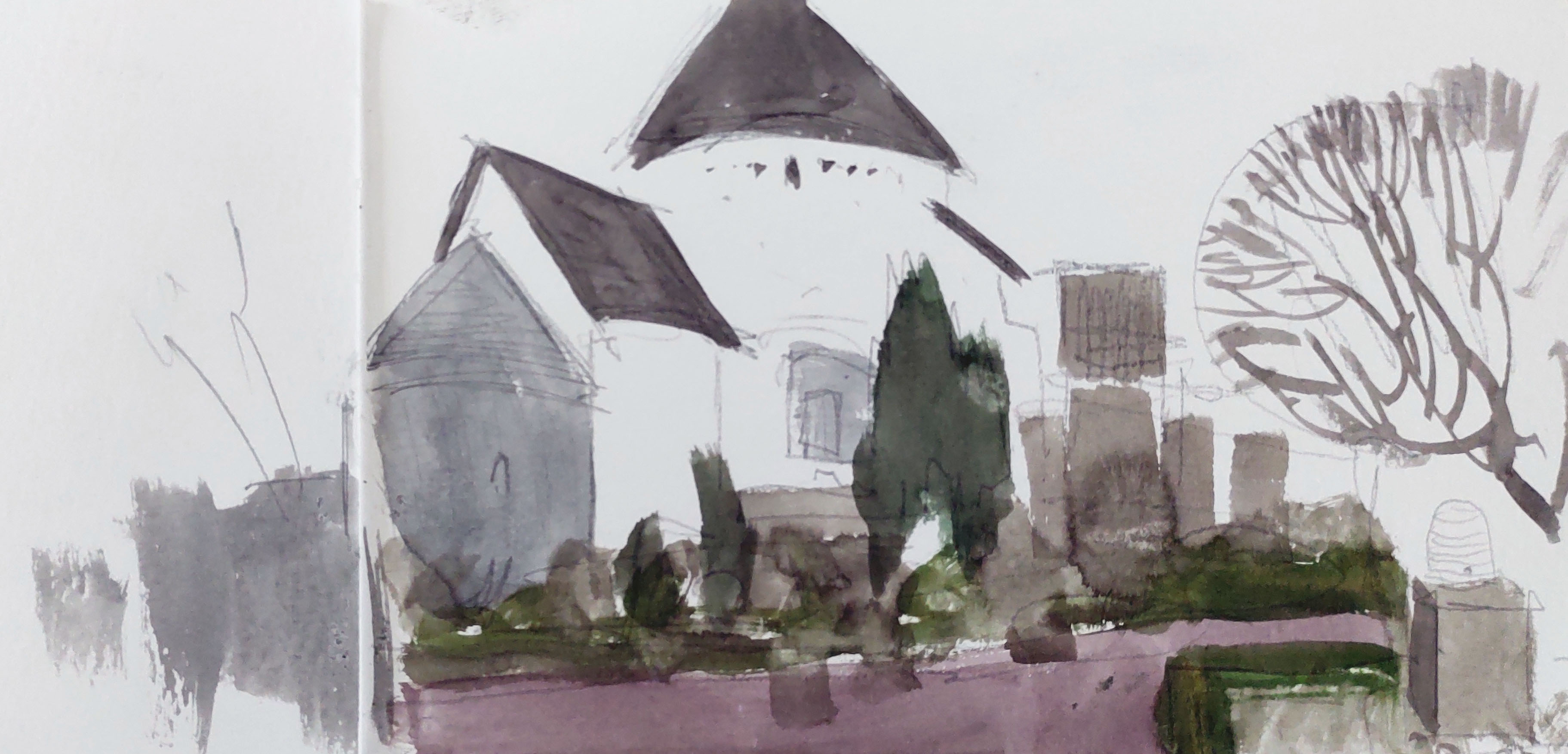
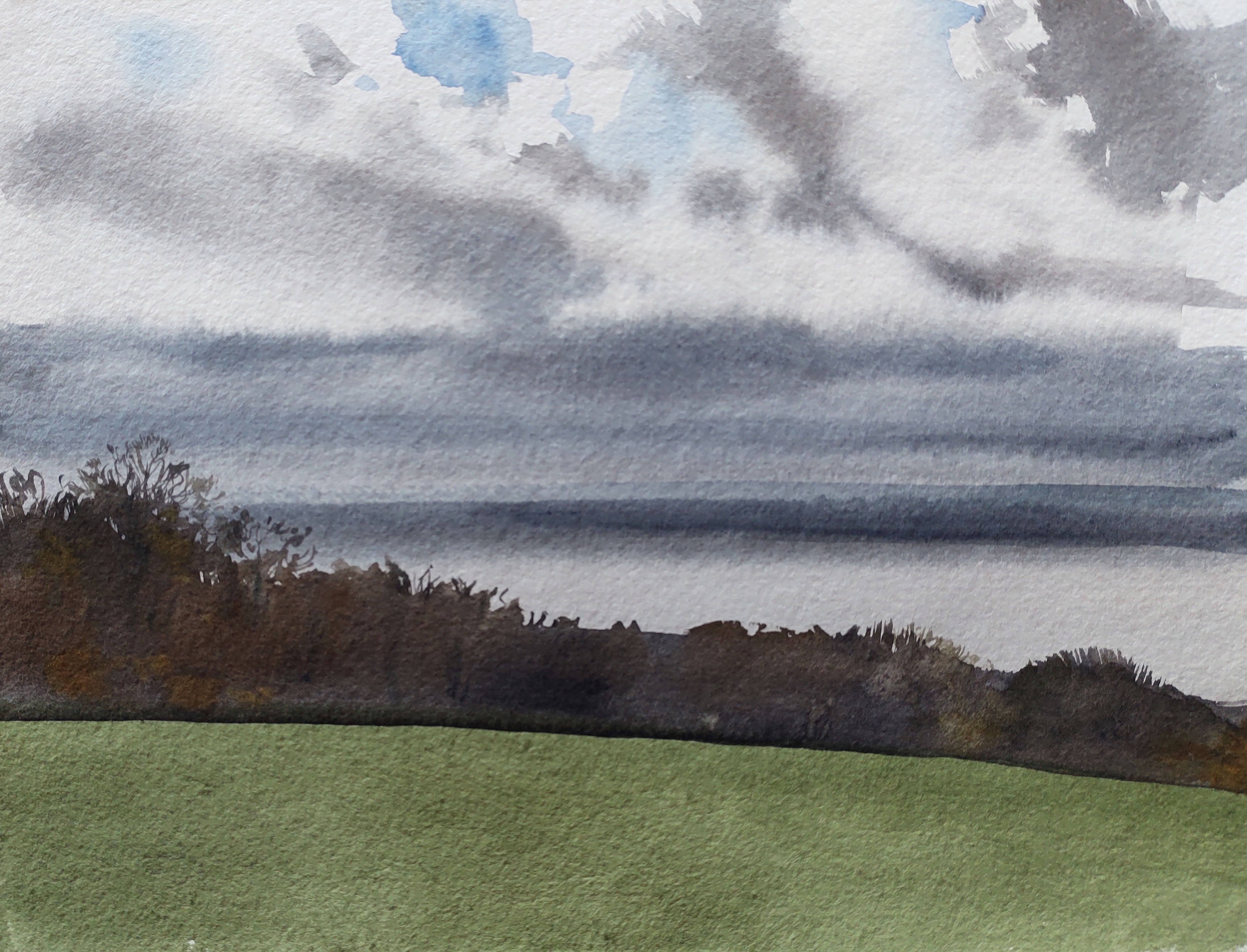
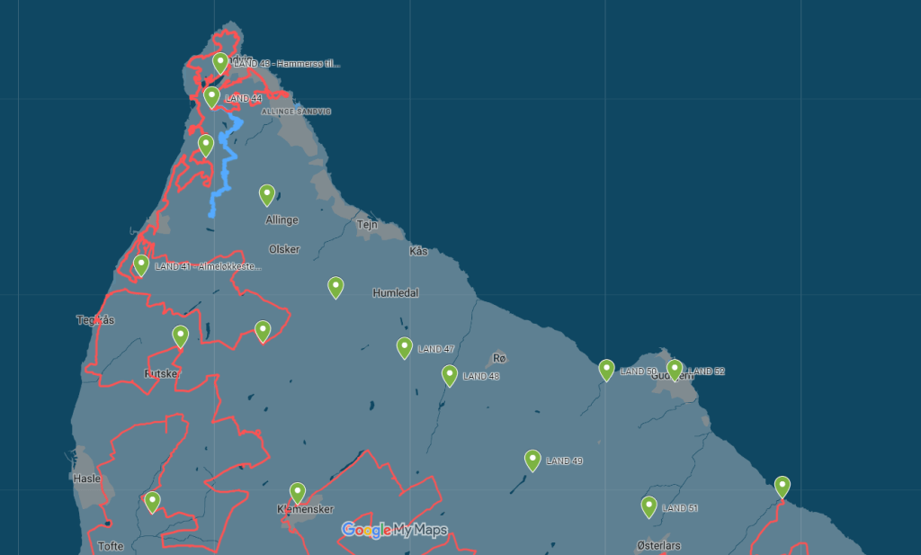
Eventually it all got too much and I was unable to carry on further downstream, choosing instead to cut across a field and join the road – once more heading northwest into the full force of the gale. I walked up and away from the coast across a very exposed landscape of large fields and industrial farms and silos. To the north and west I could see in the distance Gudhjem, Østerlars Round church, Lens Klint and all the land I had been walking through over the past month or two. To the south and east I could see Østermarie, Svaneke and the places through which I passed at the beginning of the year. I had a strong sensation of connecting time and space, of completing the circle.
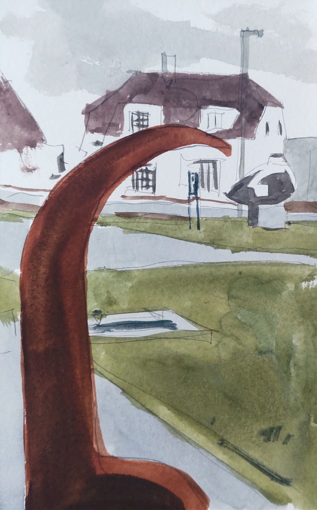
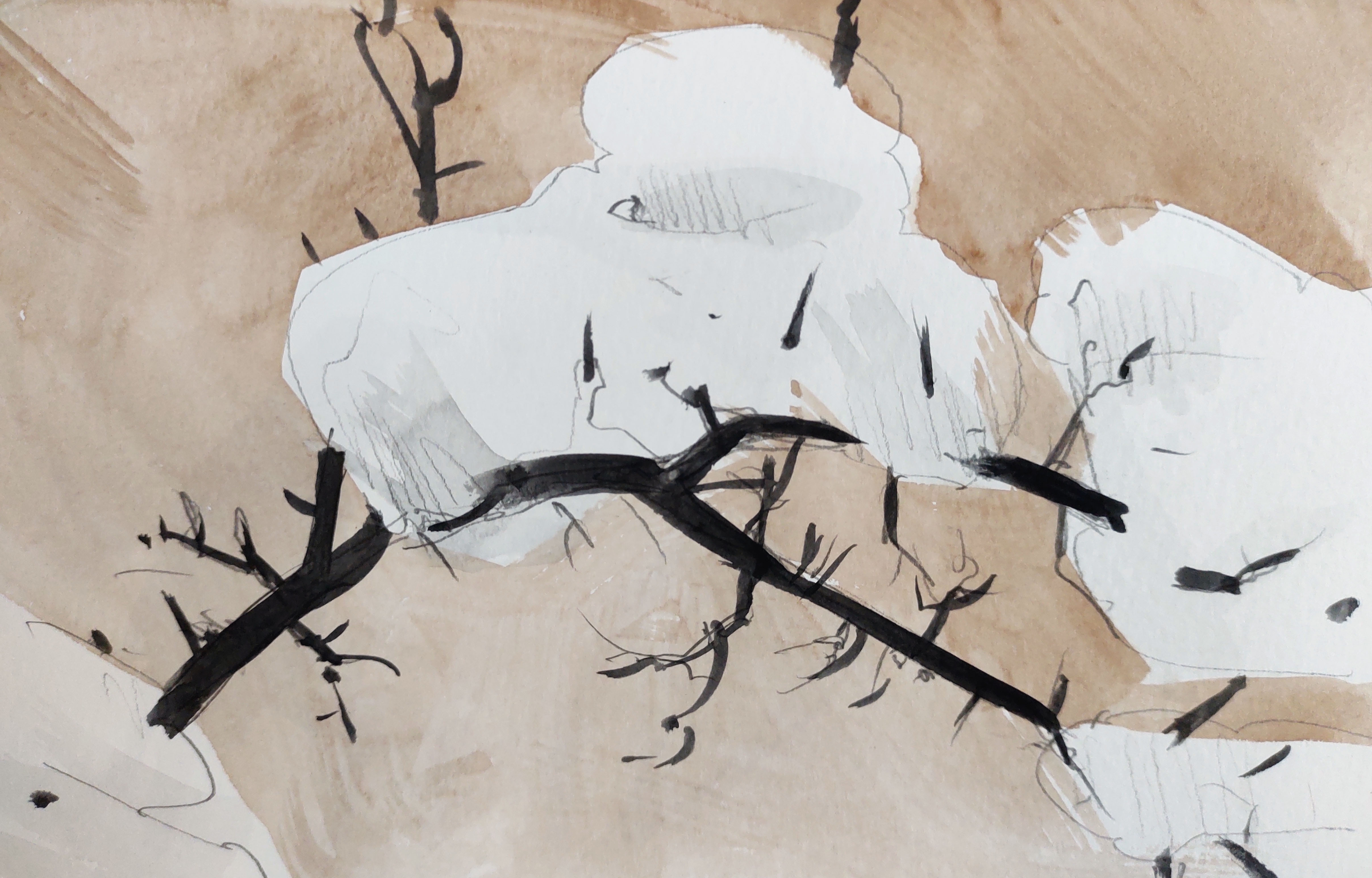
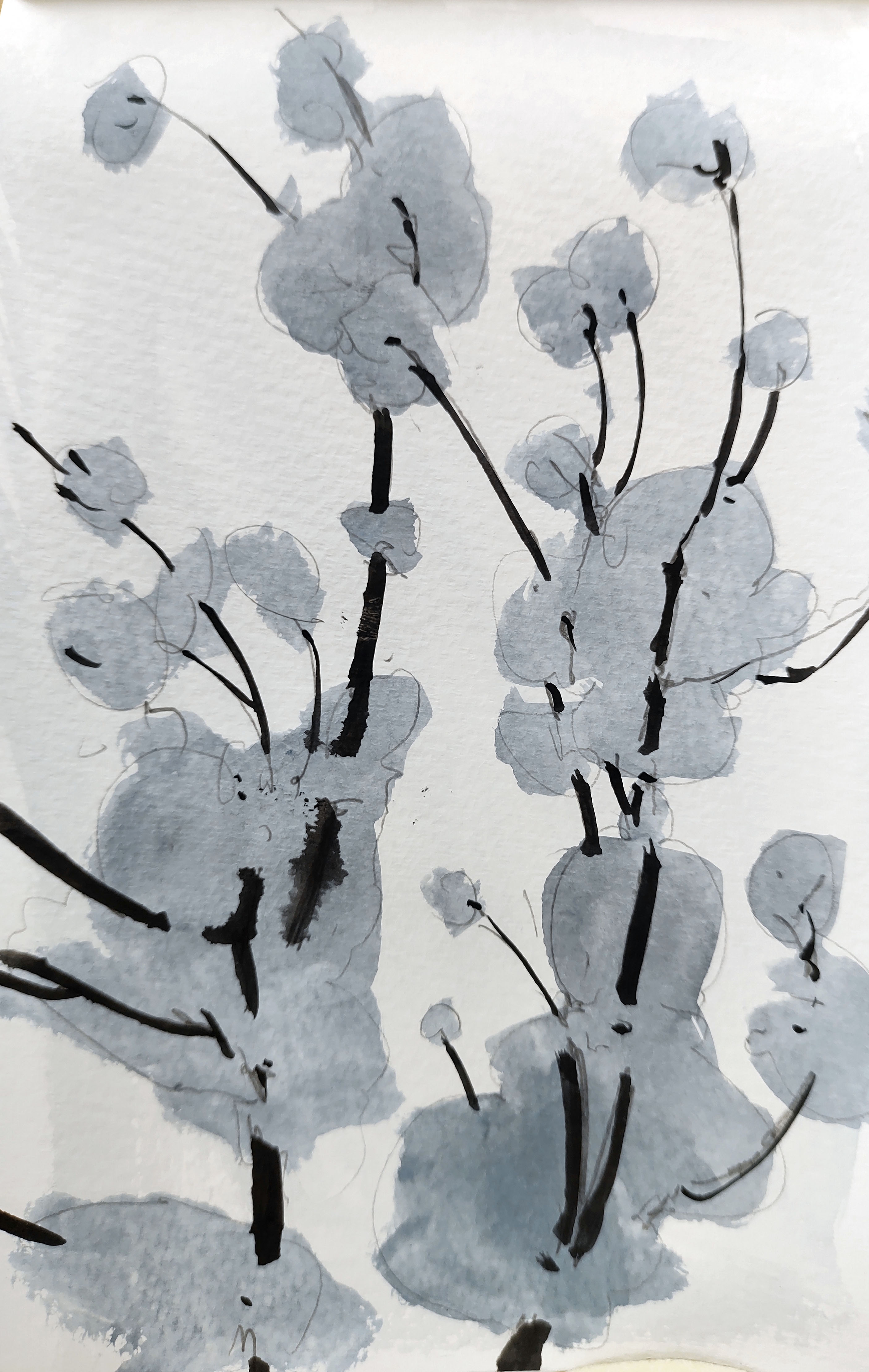
I hid behind a hedge and painted quickly in a rain pause.

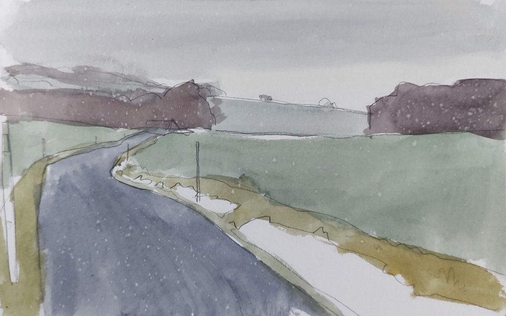
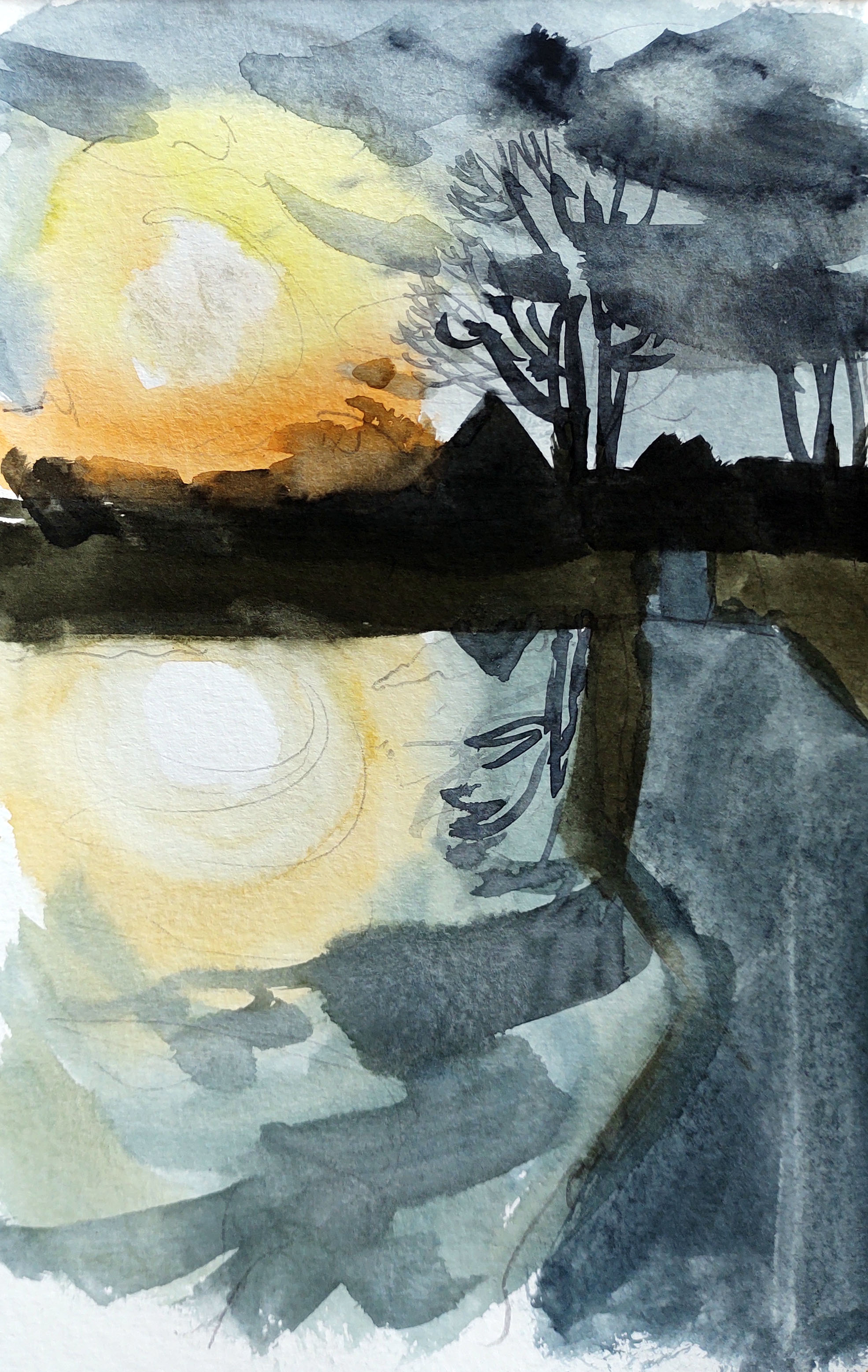
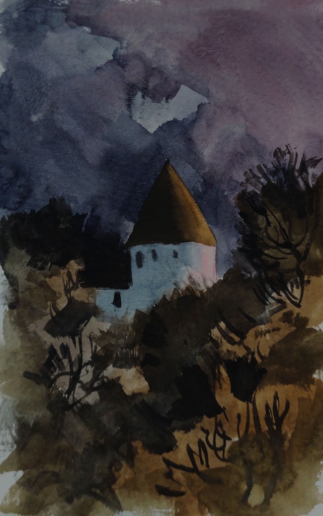
For the last time, I turned and headed northeast, down to the coast with the wind behind me. The sun was low now and emerging briefly from behind the low clouds.

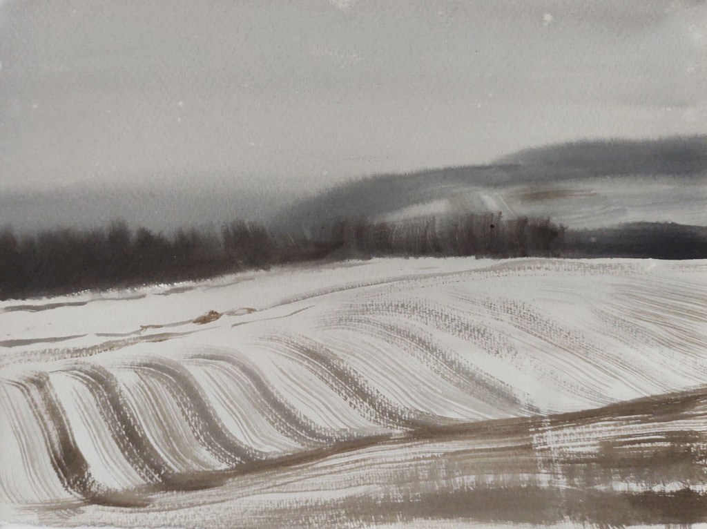
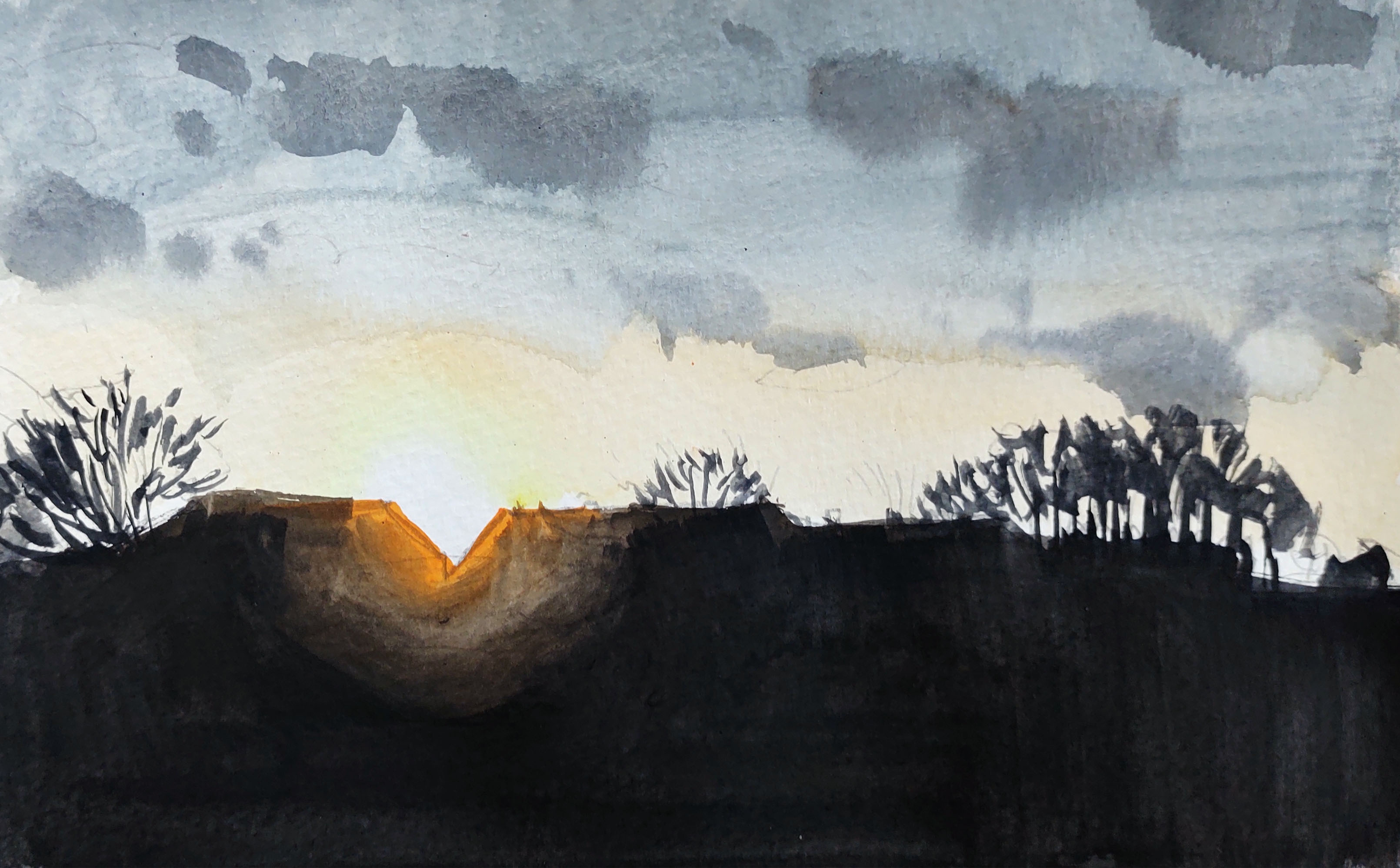
I continued downhill, filled now with a jumble of thoughts and emotions as the end of the day, the year and the trip became real. Just before I reached the coast the setting sun cast a magical pink light over the landscape. I hunkered down on the edge of a field and made one last painting – before the rain suddenly returned and soaked the paper and the colours ran off the paper.

Somehow it was a fitting end to the project. I trudged on, down to the coast and onto the beach at Kelse å. Here I had started LAND on the sunrise of the 6th of January 52 weeks previously, I recognized the place – the same gunmetal skies, the ochres, browns and greys, the sound of the Kelse stream emptying out into the sea. I had passed through a year, passed through the island landscape – and that was it. I raised a glass. The day was done, the year was done, and LAND was done.
LAND 52
WEATHER REPORT – Heavy rain and hail in the morning, showers in the afternoon. Very windy, Temperature 6 – 7 degrees. Wind 8 – 12 m/s, from the southwest. Hours of precipitation: 4.5 hours. Hours of sunshine: 1,5 hours.
STOPS with the BIVVY – 0
KILOMETRES WALKED – 14.28 km
DAY LASTED – 7 h and 18 m
PEOPLE TALKED TO – 2
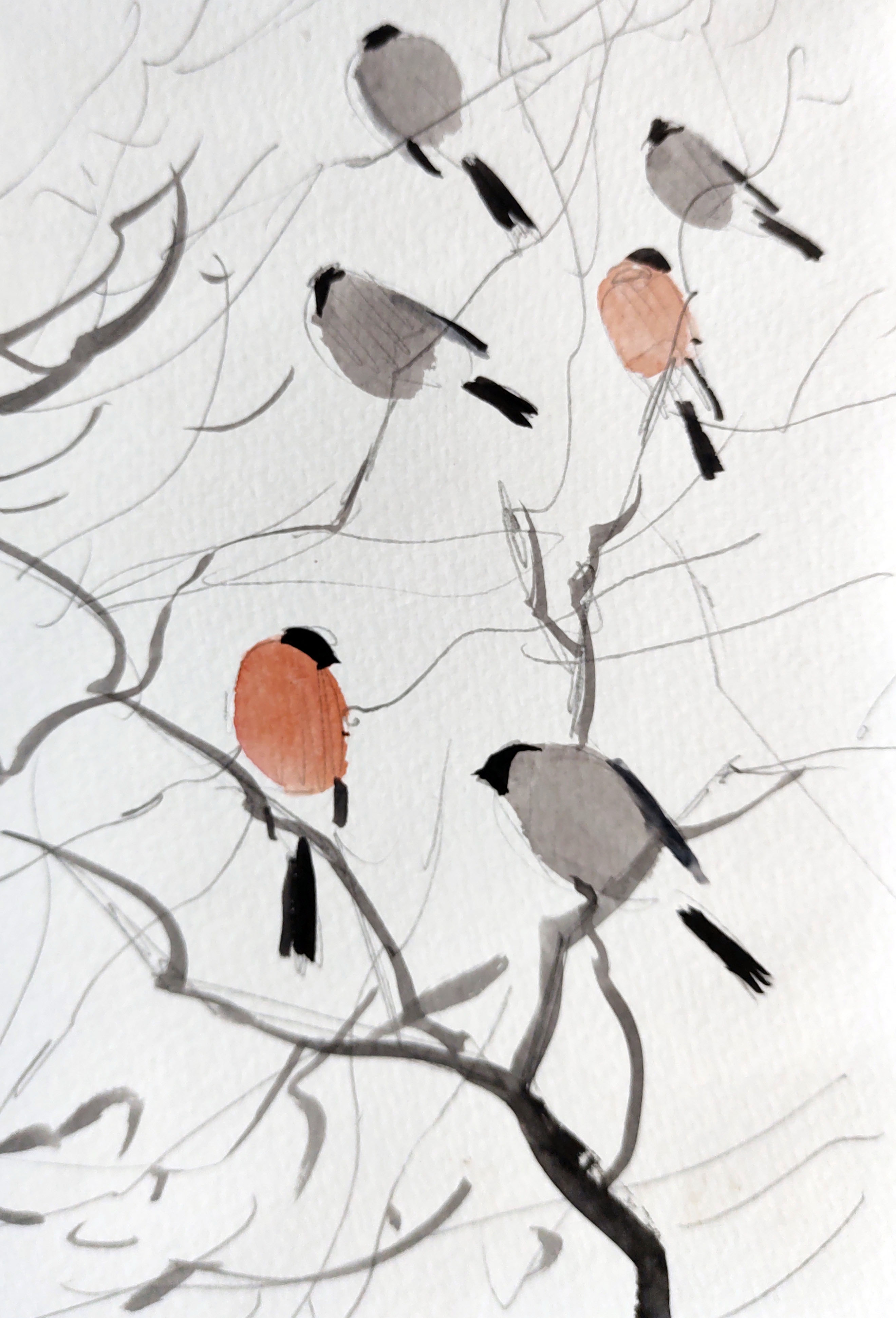
BIRDS SEEN and HEARD – 20 species (0 new = 135 species in total)
LESSONS LEARNED – I enjoyed my new sailor suit and working out the best way of using it and its pockets.
IN MY HEAD – ‘Vandskabt Land’ the film – all the Christmas thoughts, the kids, their happiness, biogas and the end of LAND.