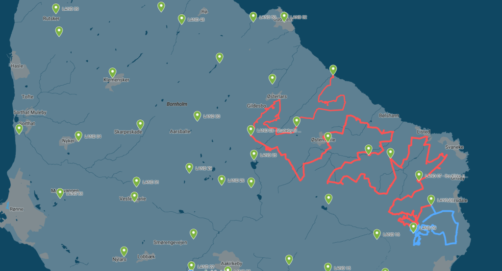
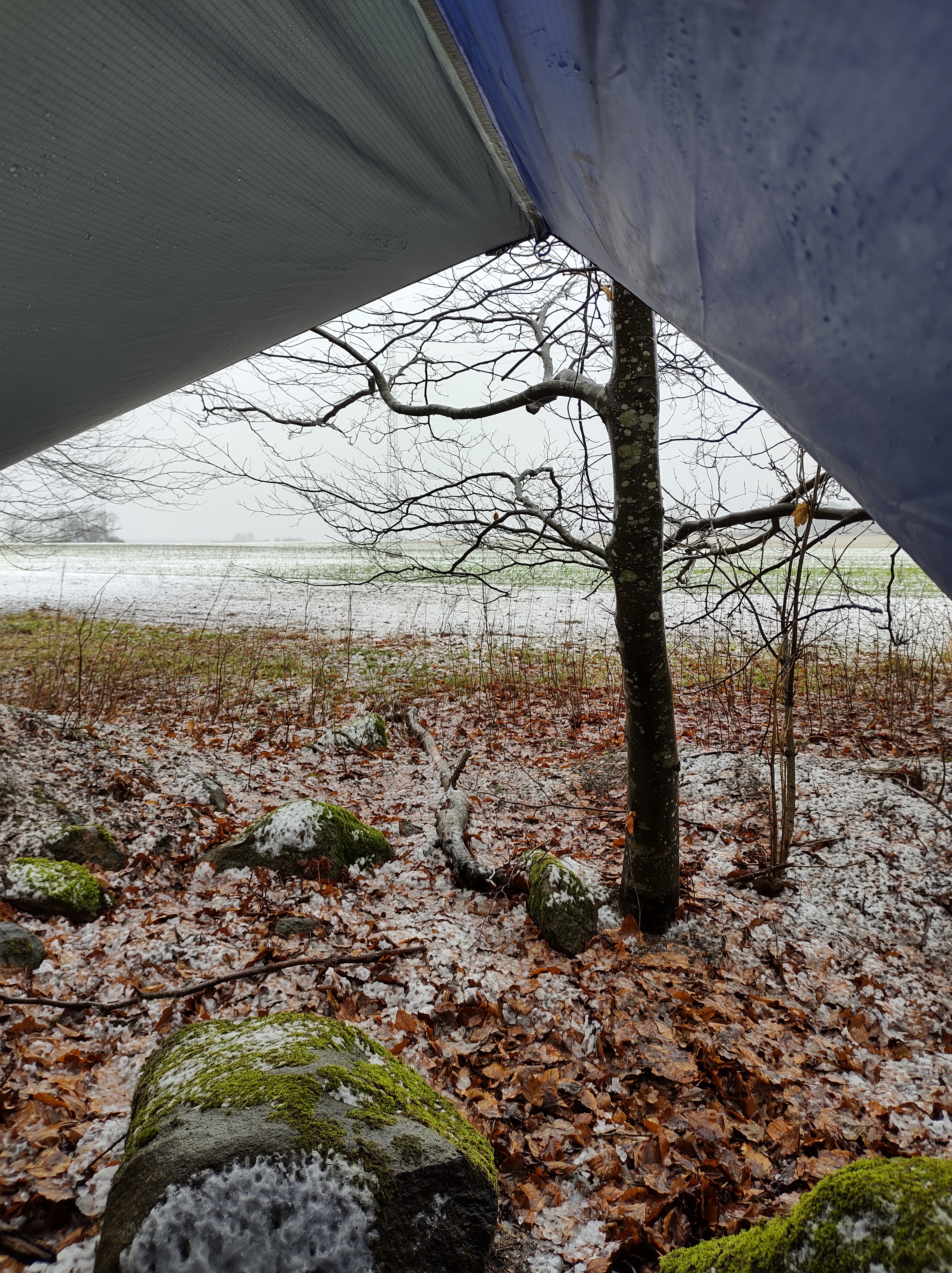
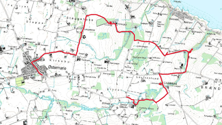
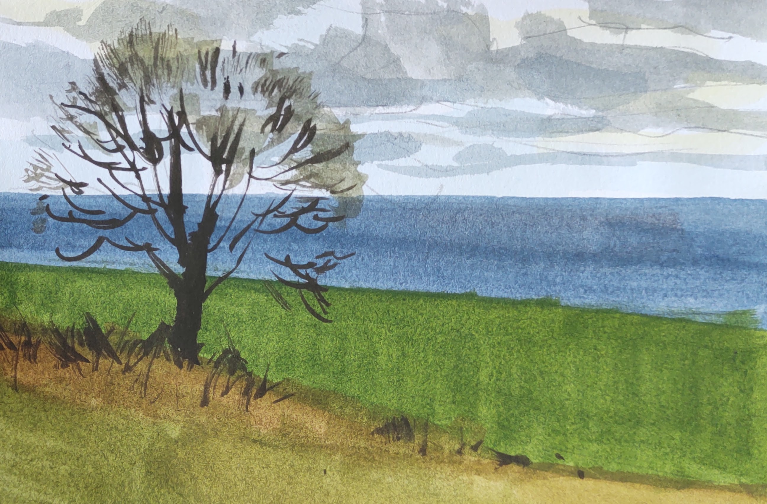
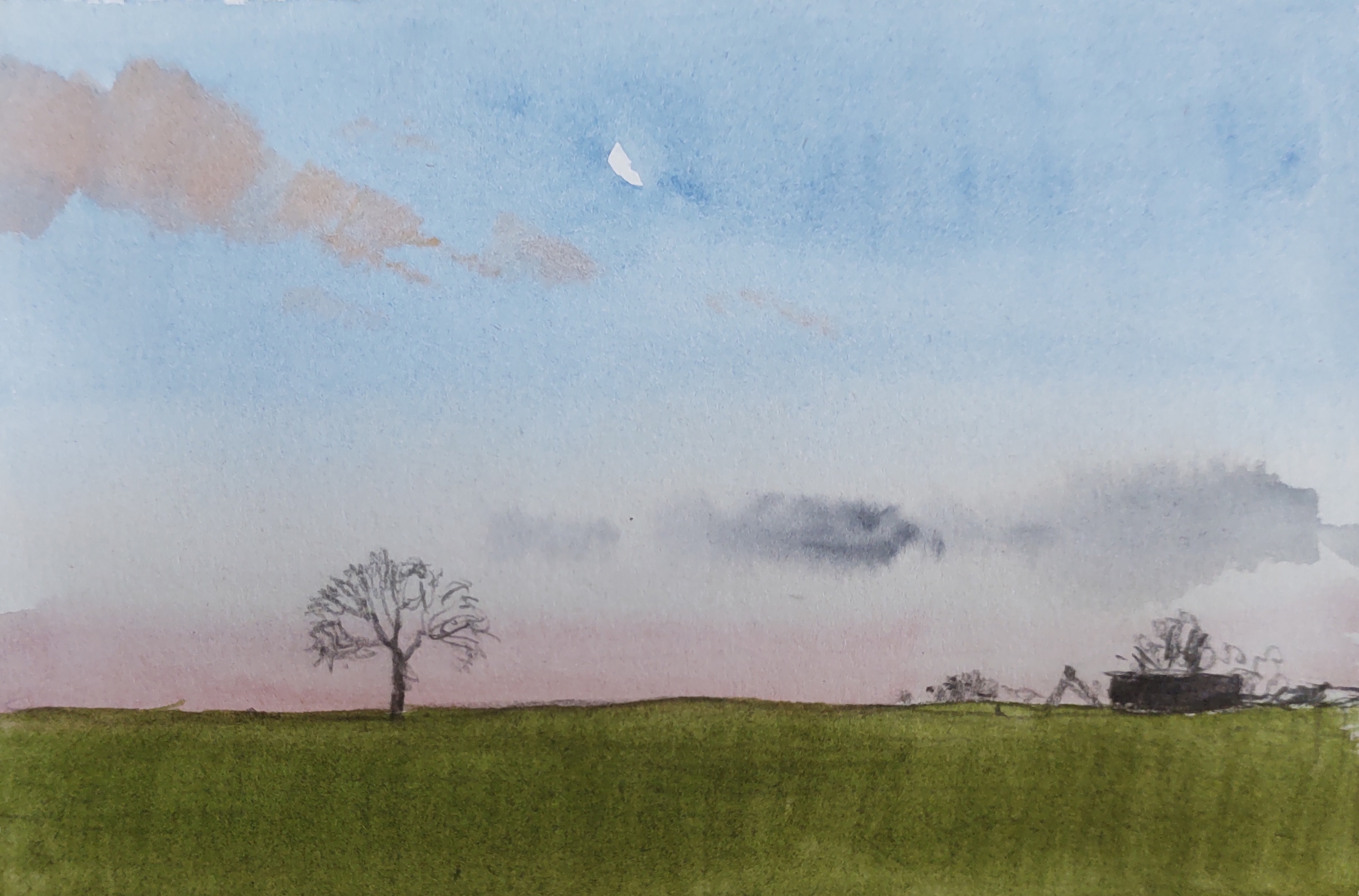
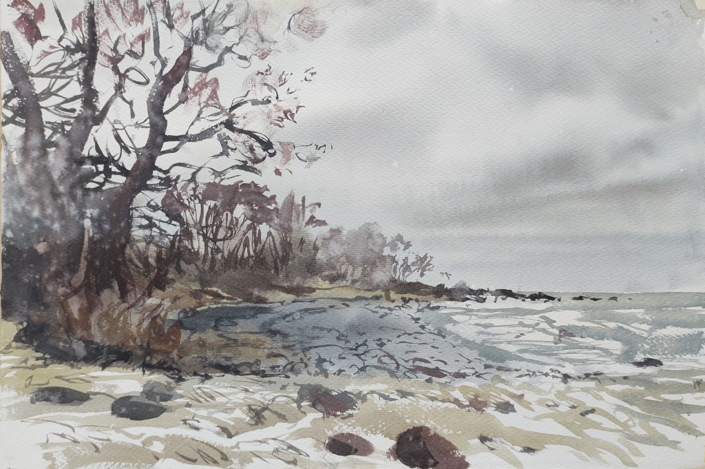
LAND 08 Dawn felt rather mild with no hint of the rain that was forecast for later in the day. I headed east, down the hill and towards the sea. In a small copse by the roadside a small herd of fallow deer melted away at my approach.
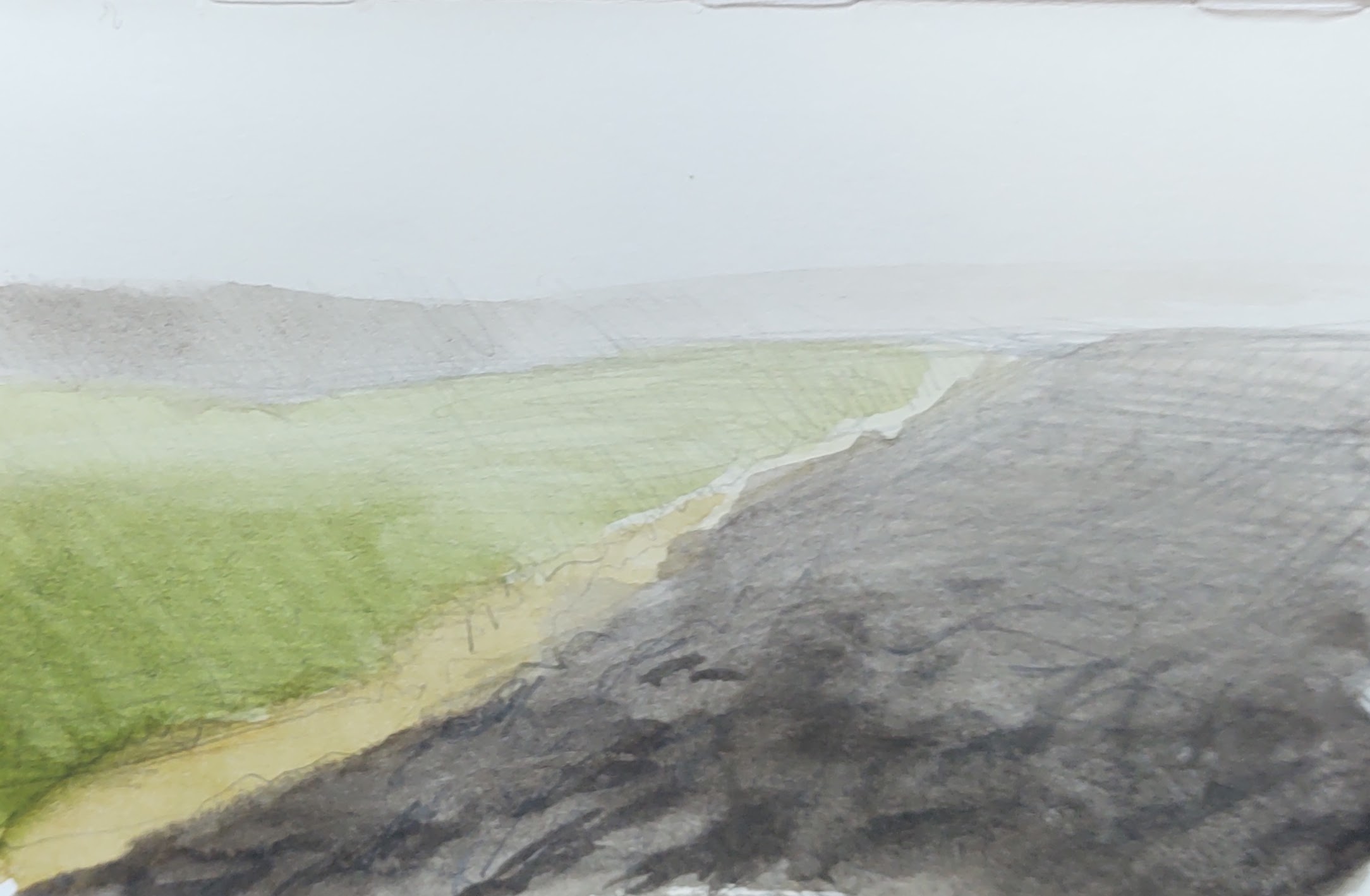
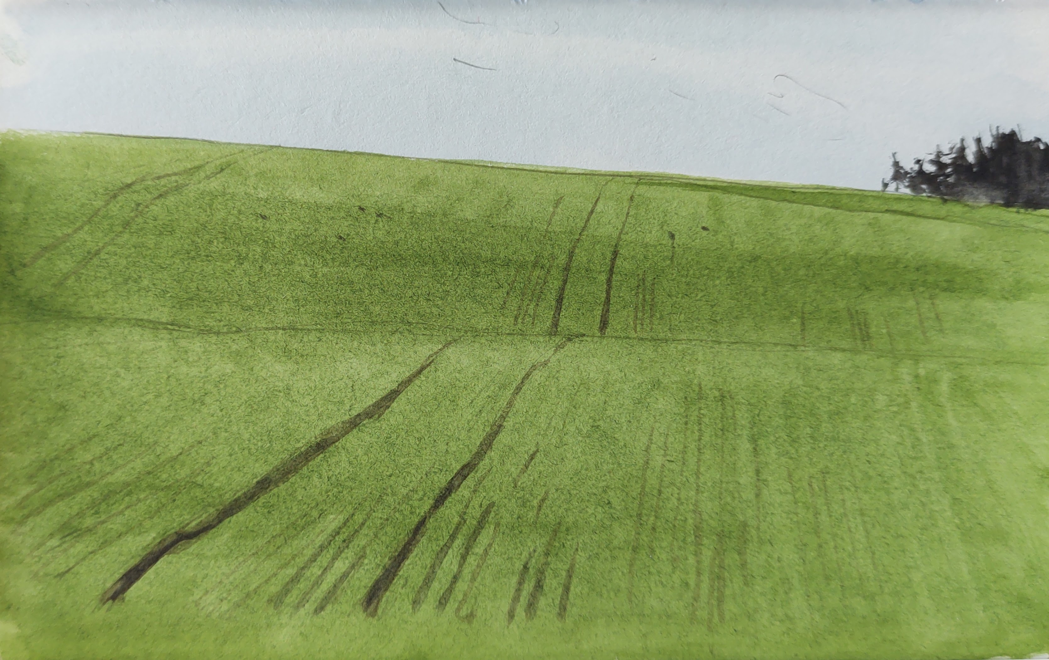
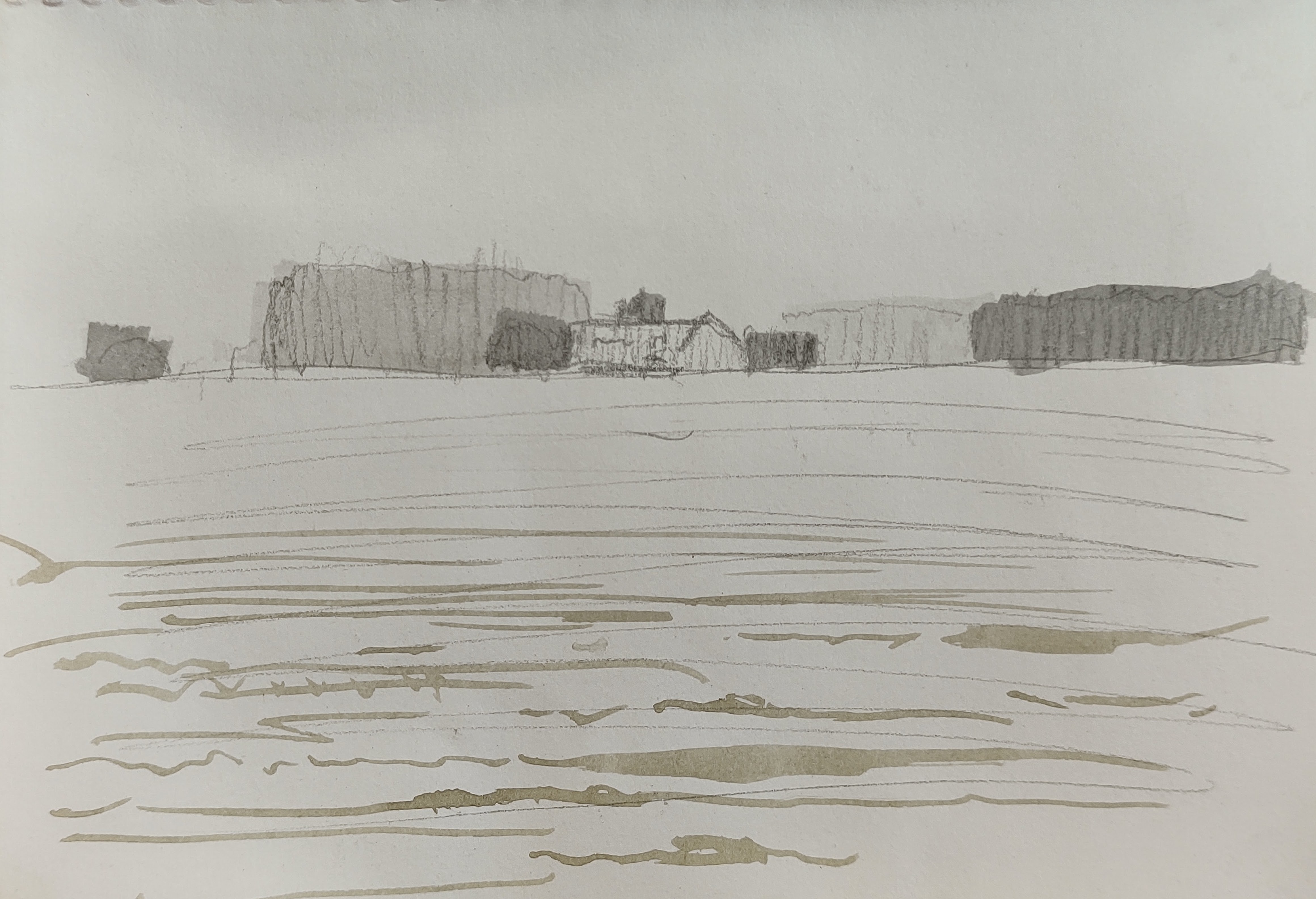
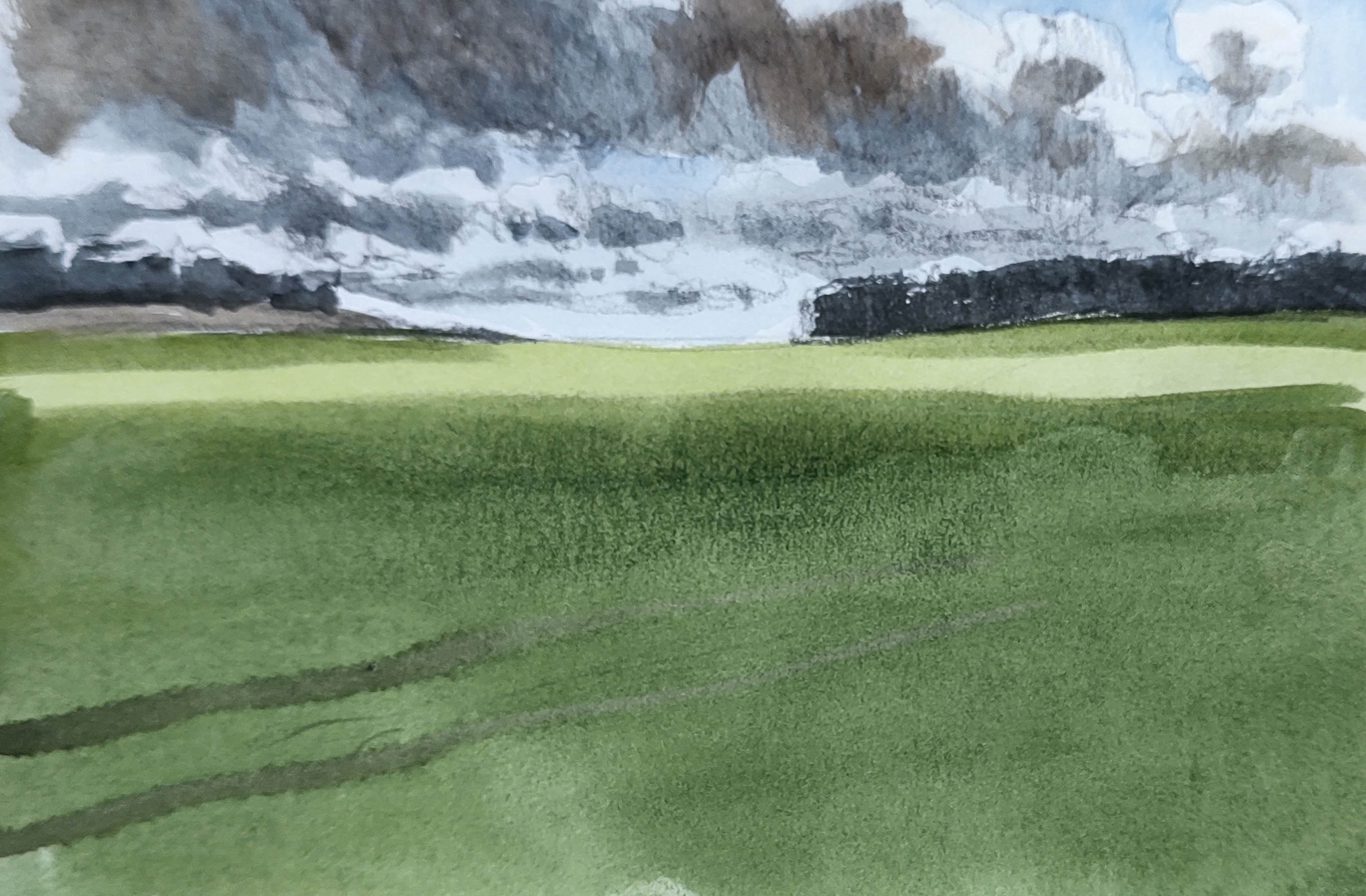
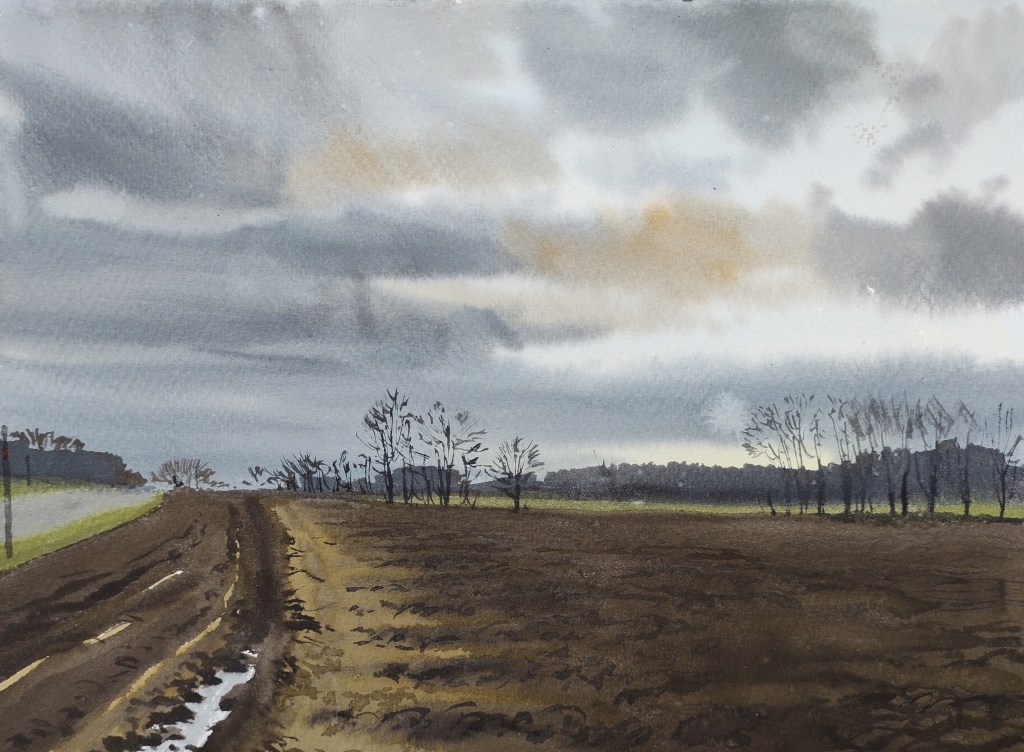
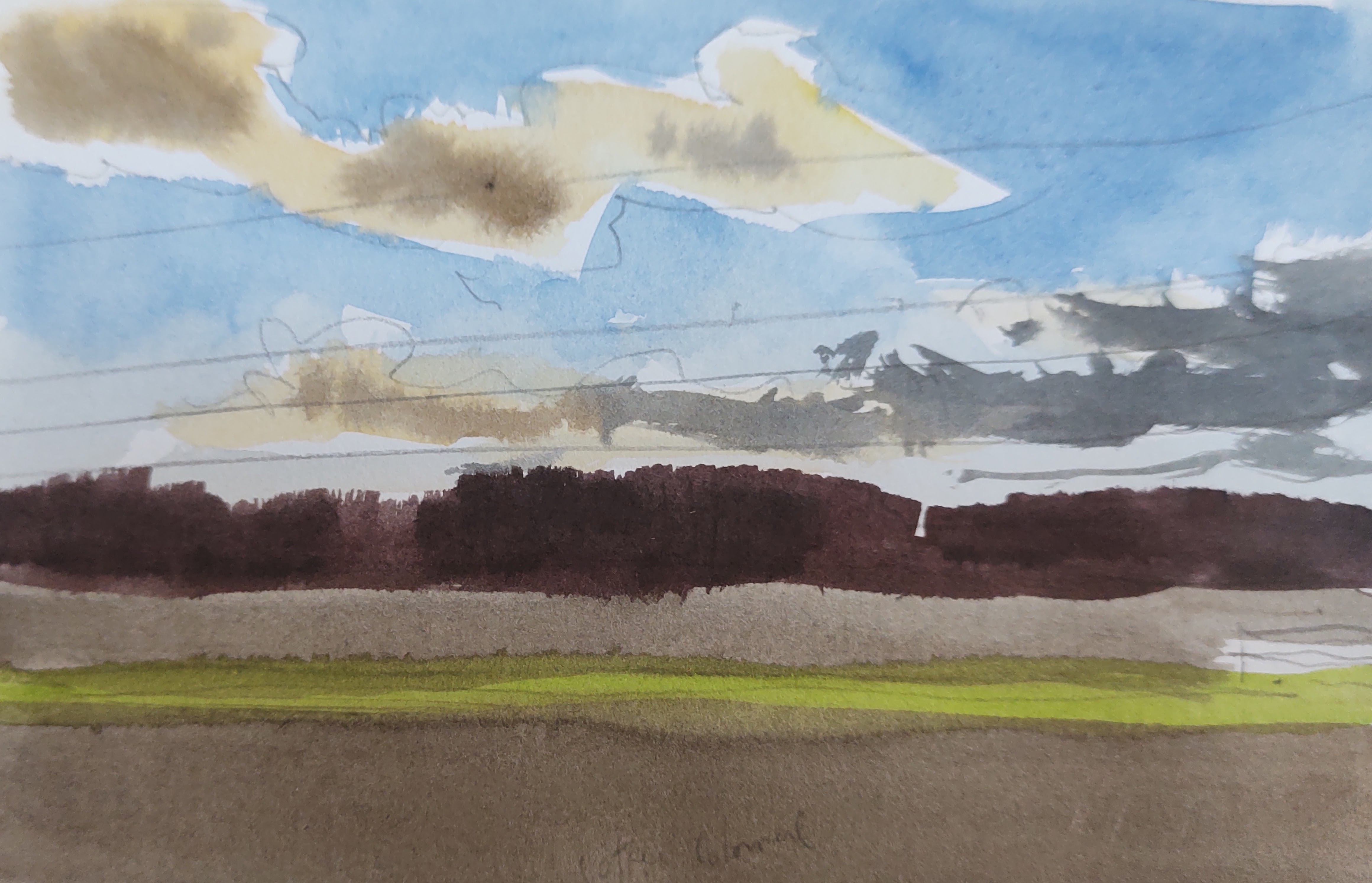
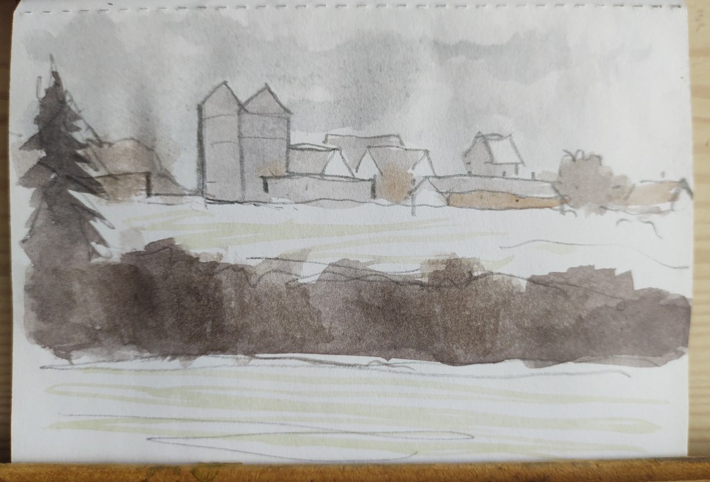
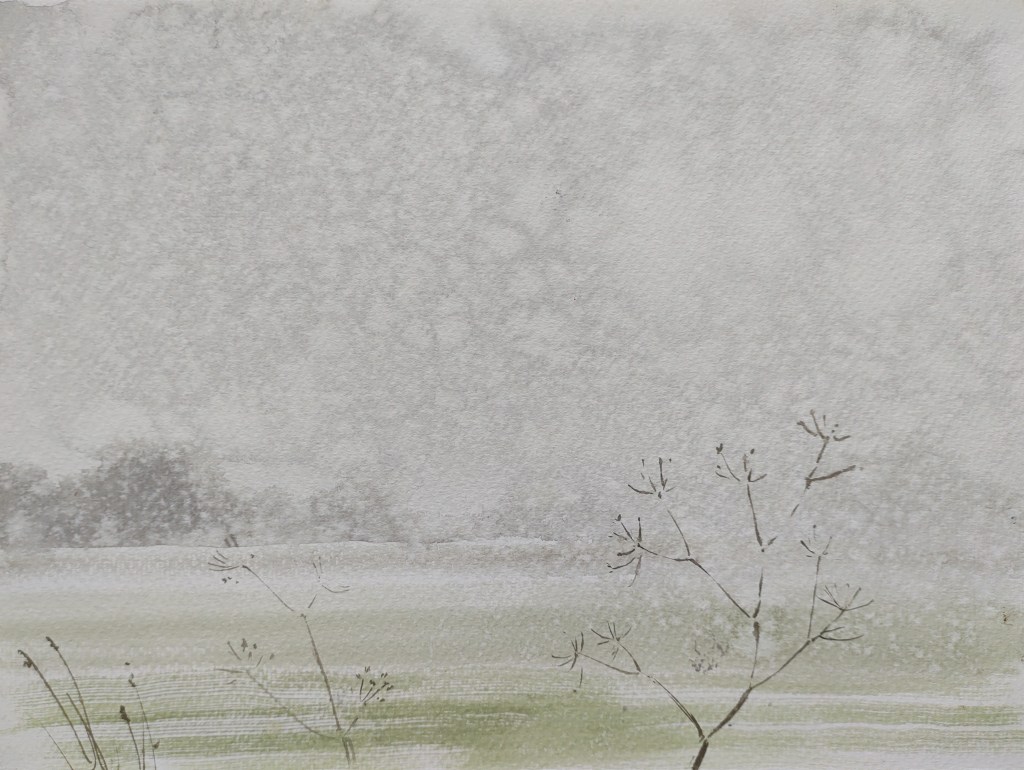
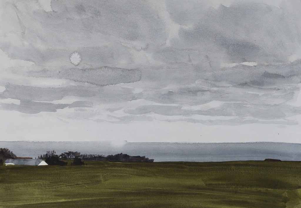
Down in the open landscape again, I followed the road south, parallel to the coast. The sky was ever-darkening. I stopped to paint the distant skyline of Aarsdale and was overjoyed to hear my first skylark of the year break into song just above me. Two or three others quickly responded, and for a brief period I was utterly submerged in their mesmeric chorale. As the first raindrops fell on my paper they suddenly stopped, and I was not to hear them again.

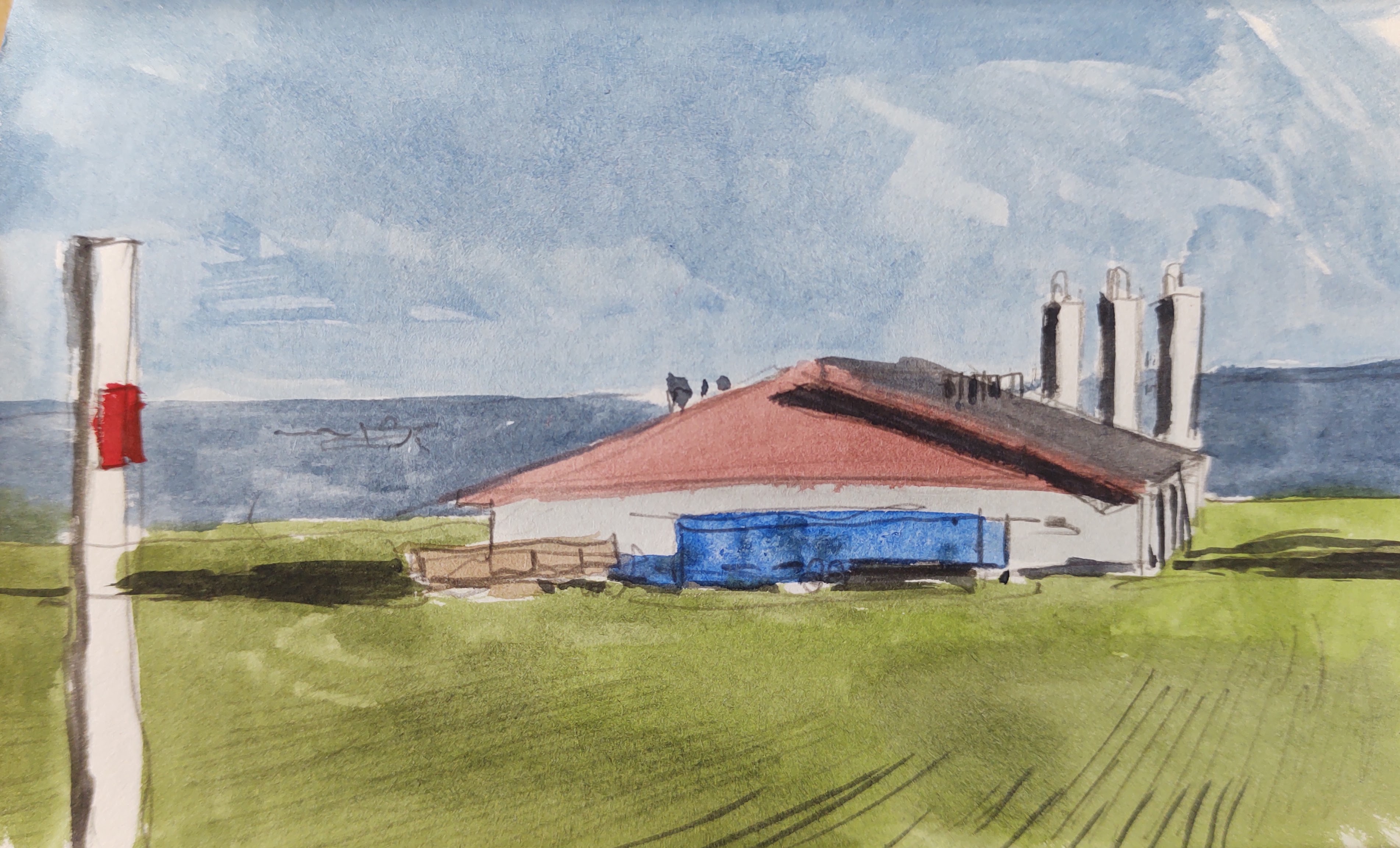
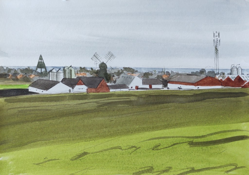
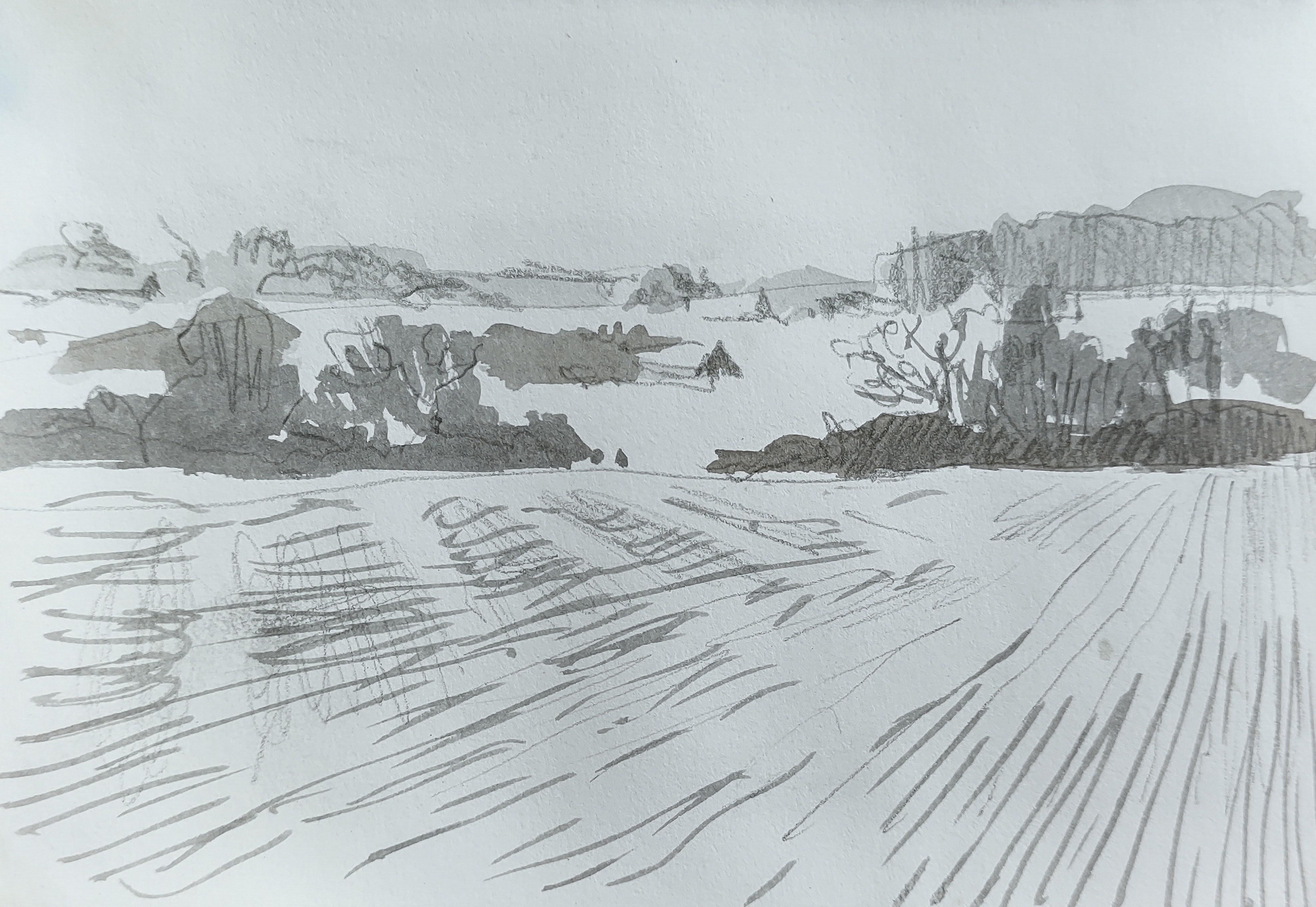
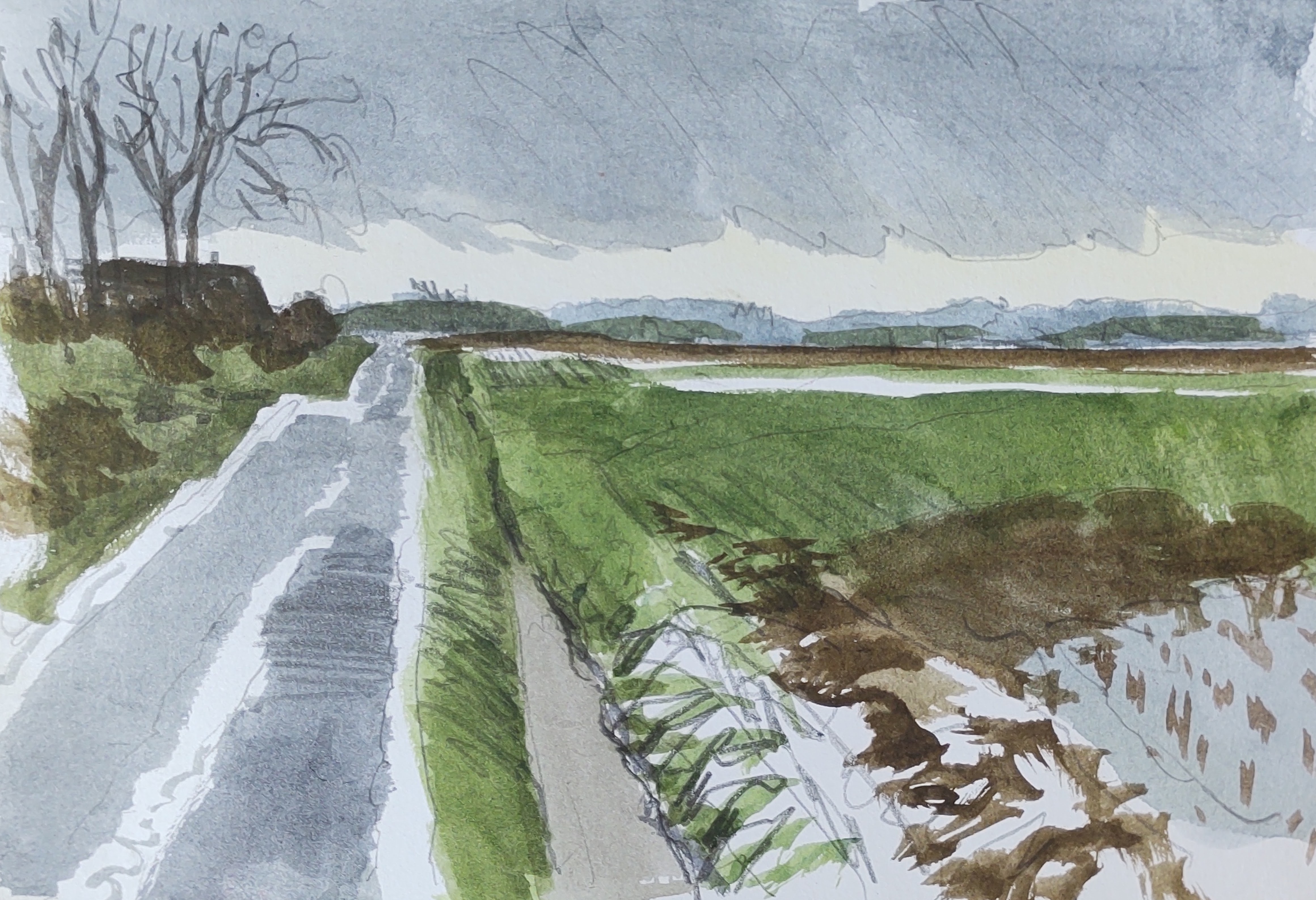
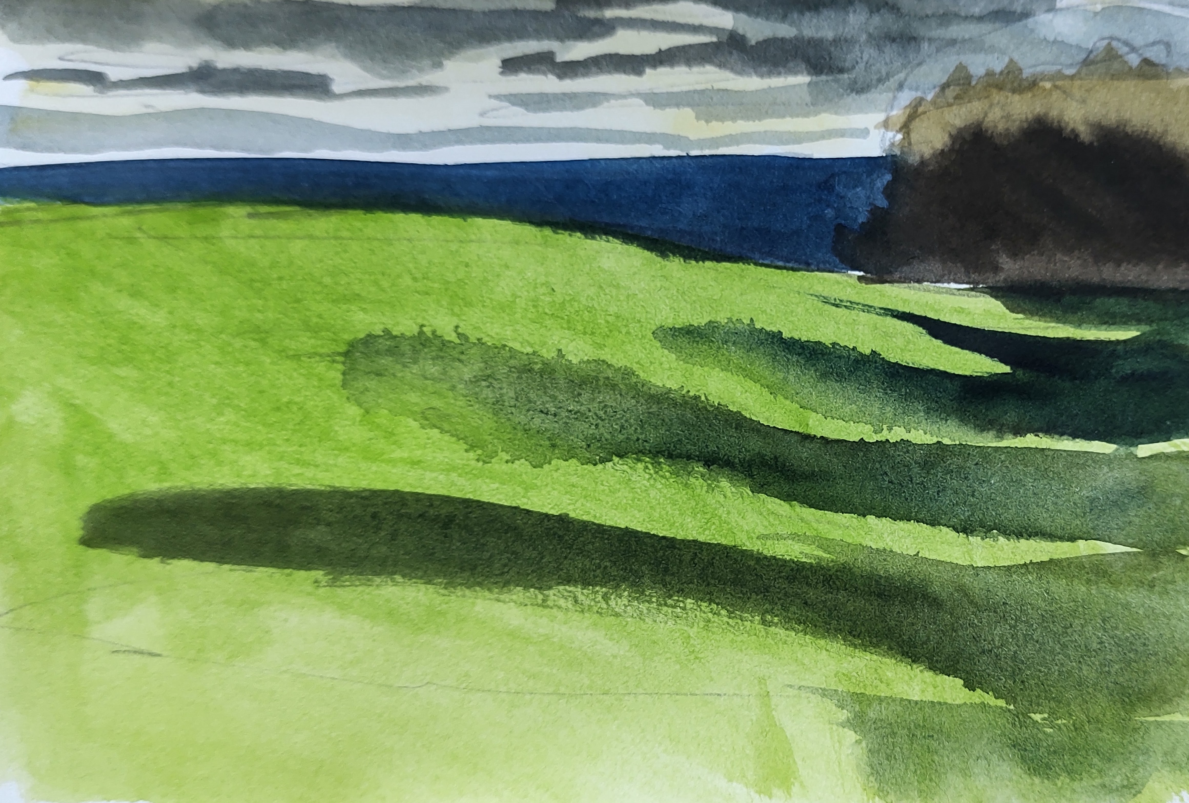
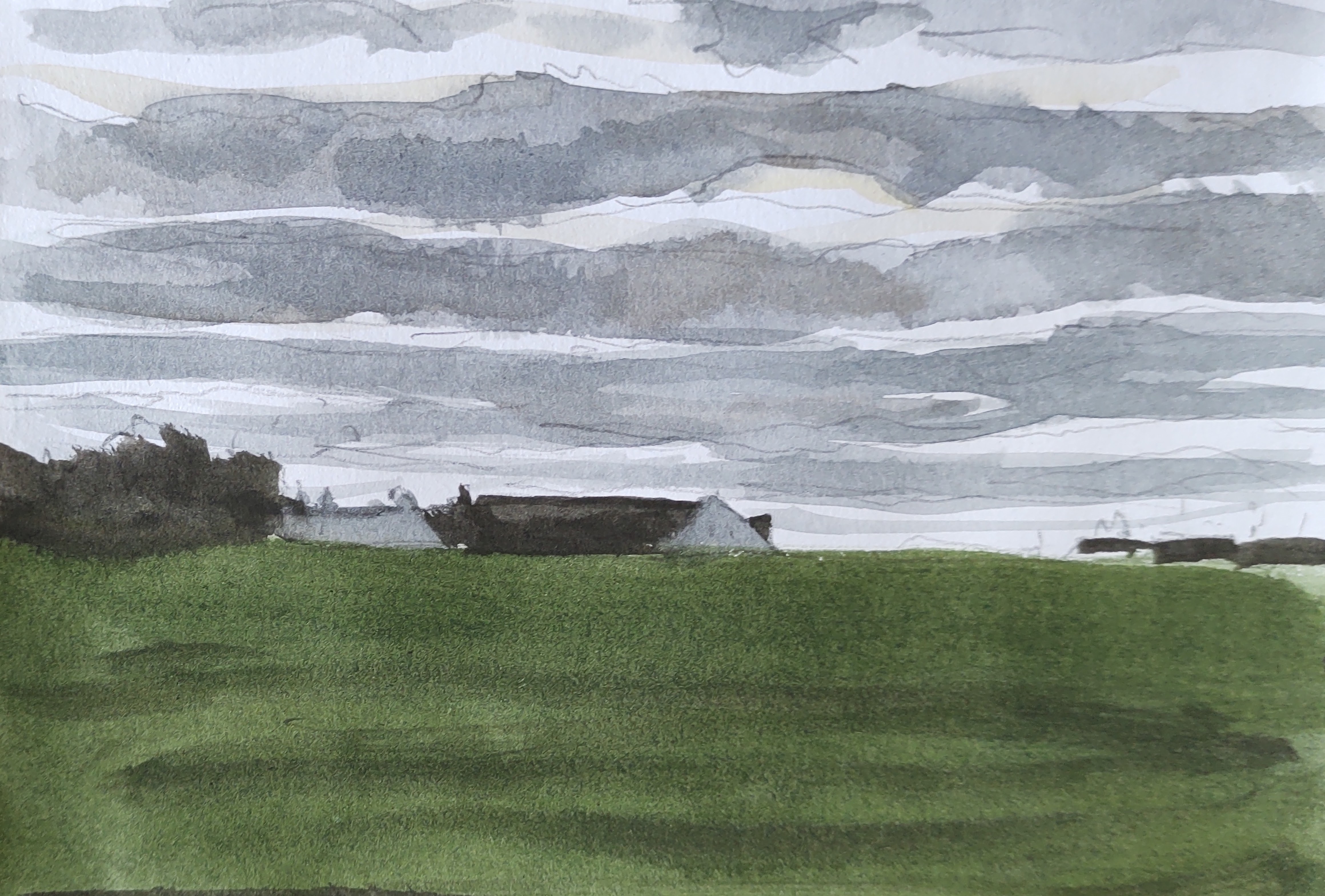
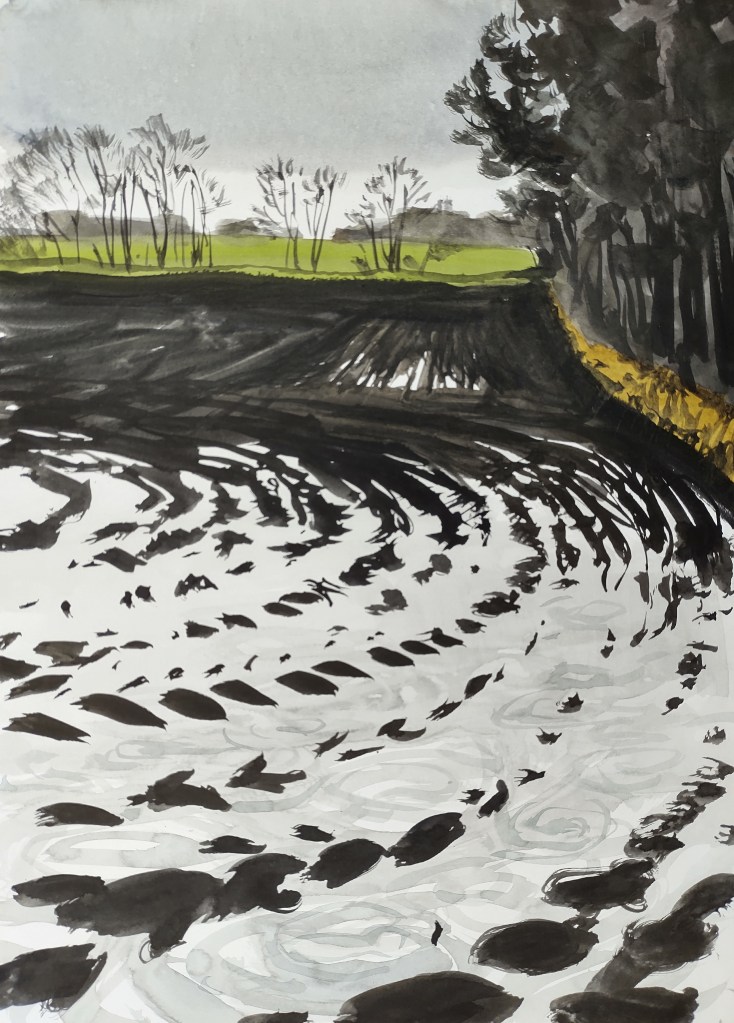
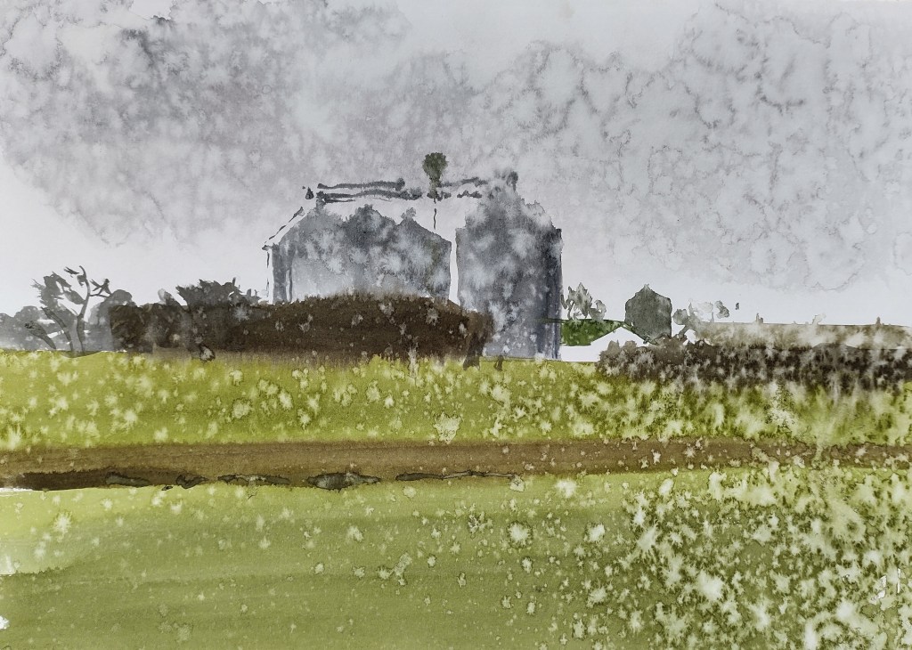
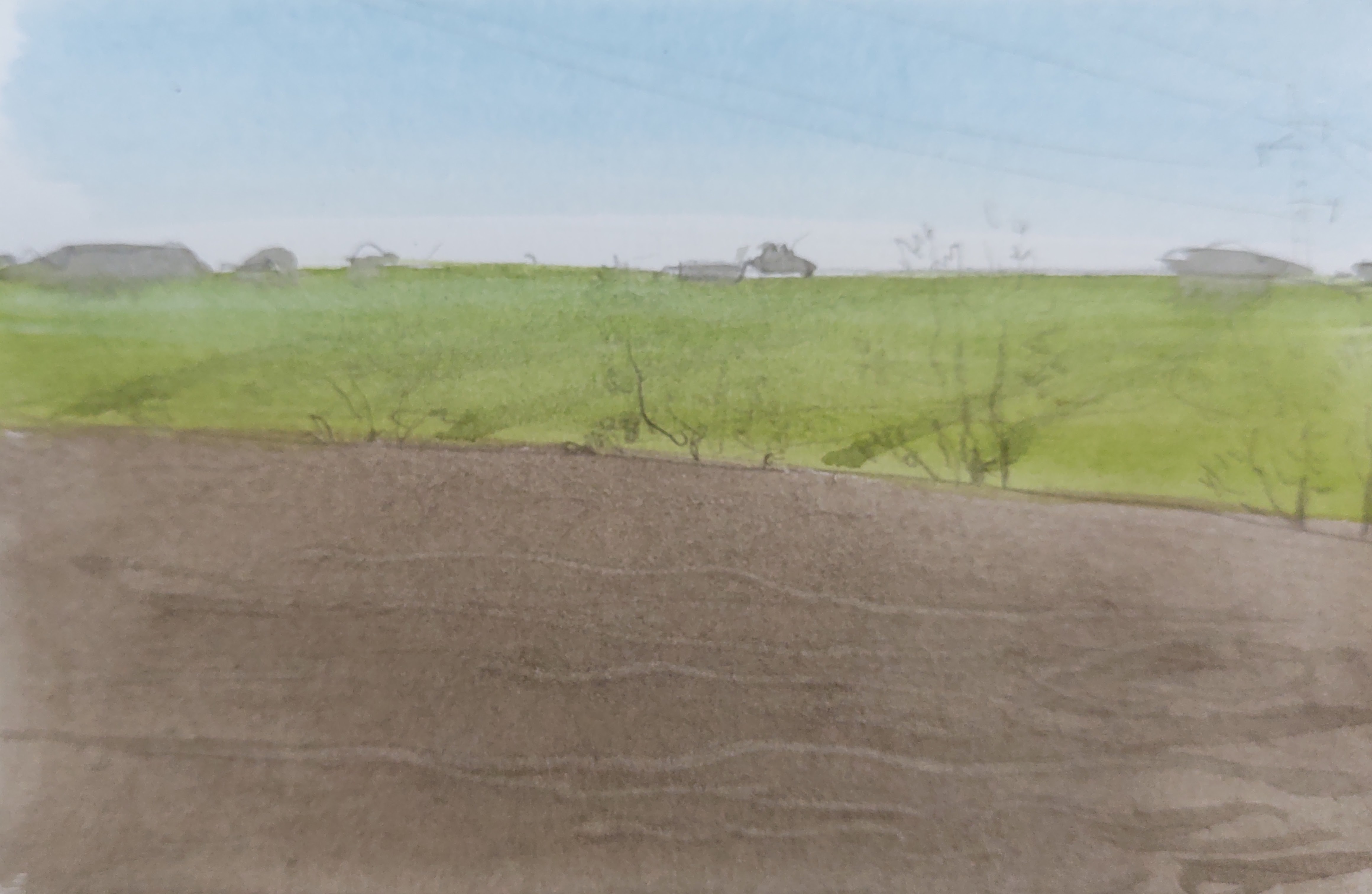
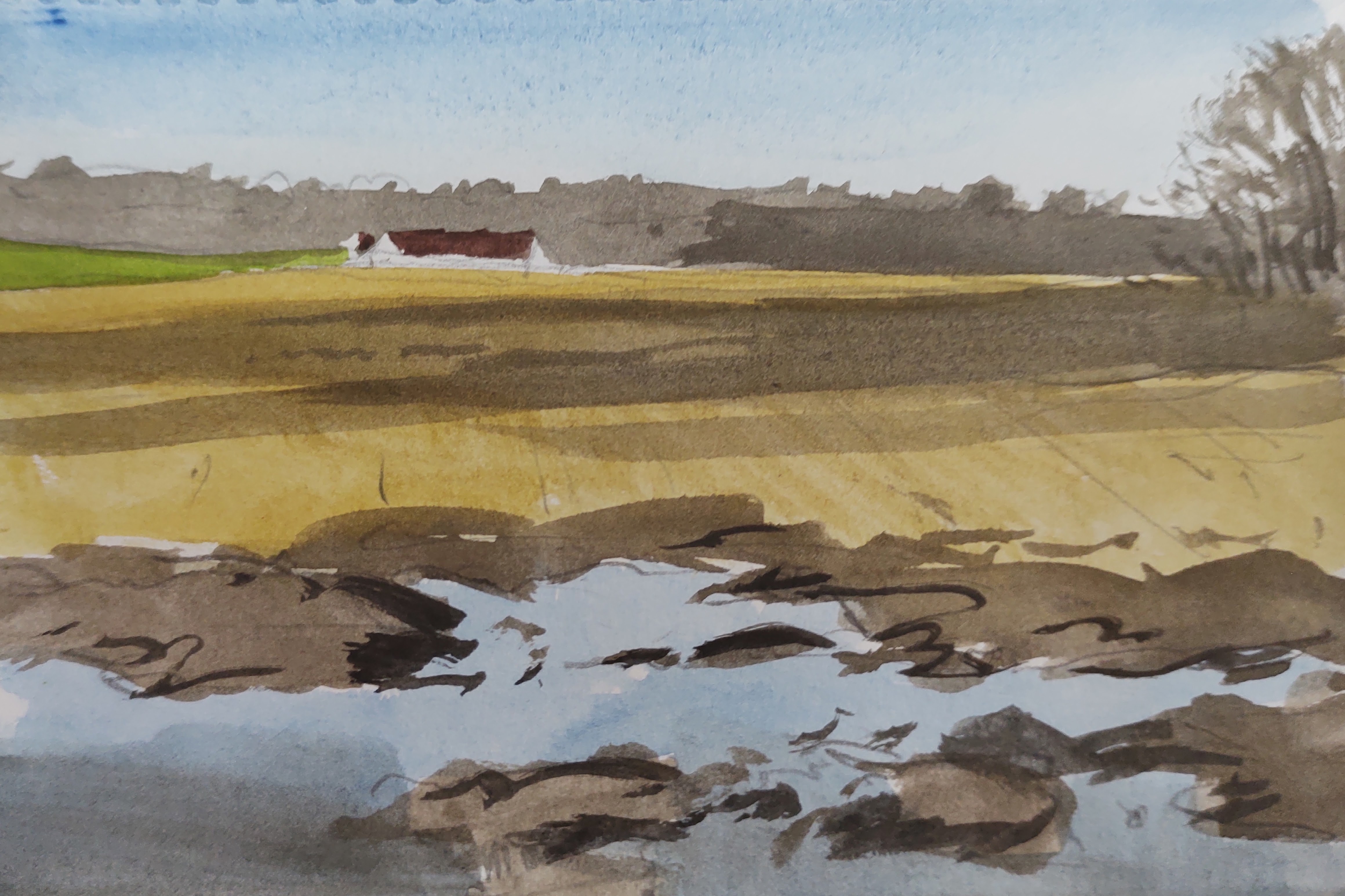
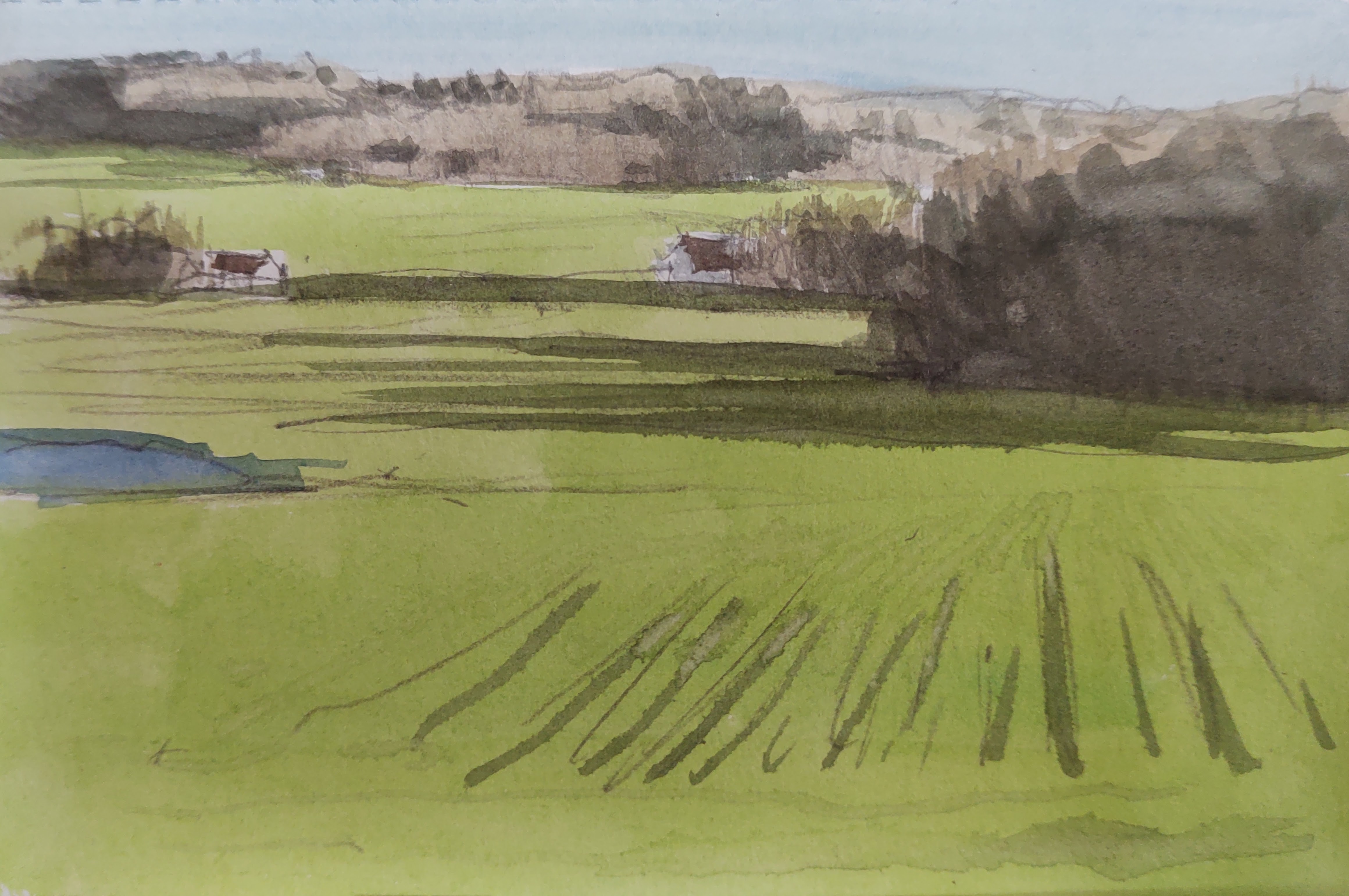
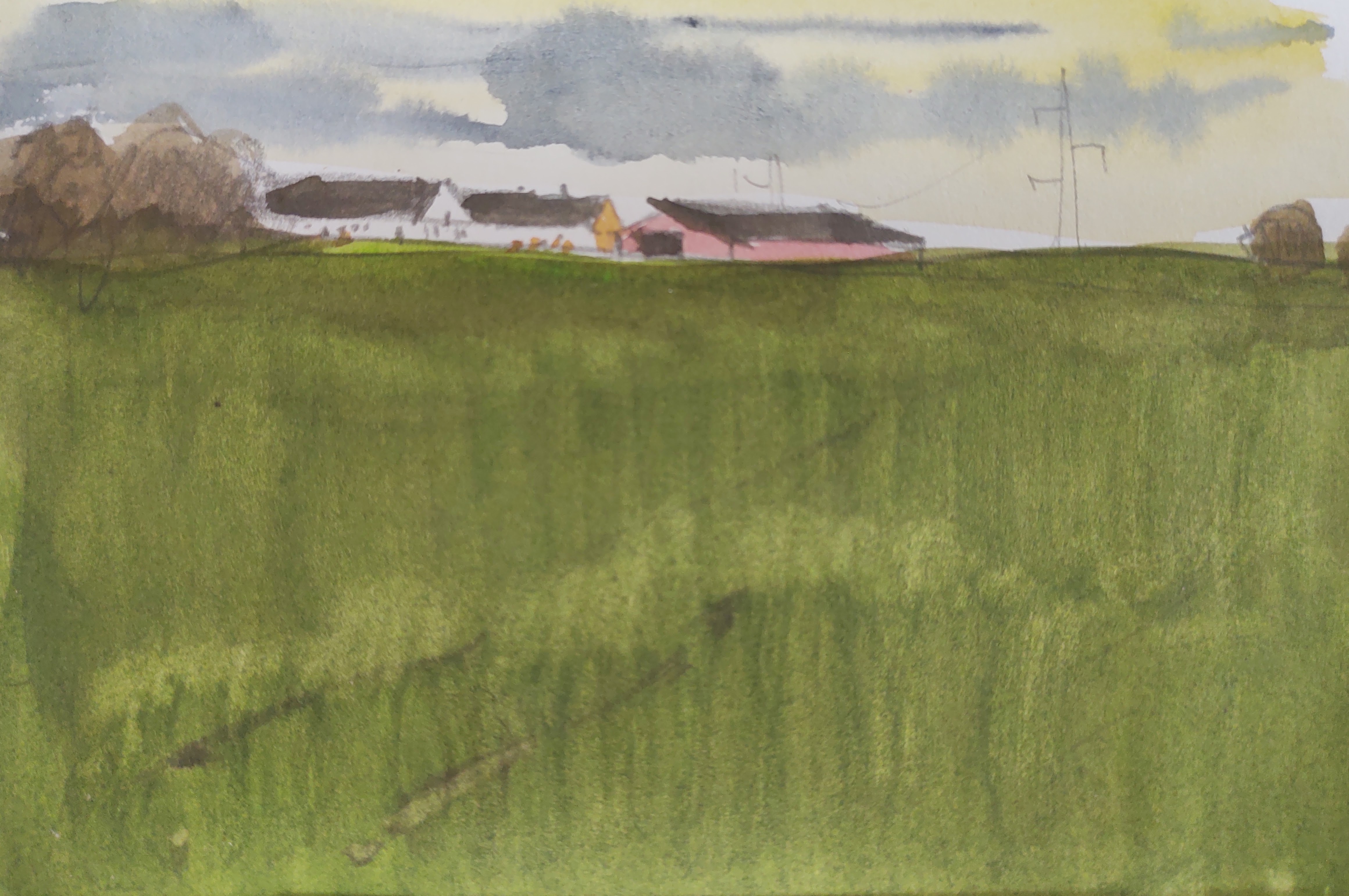
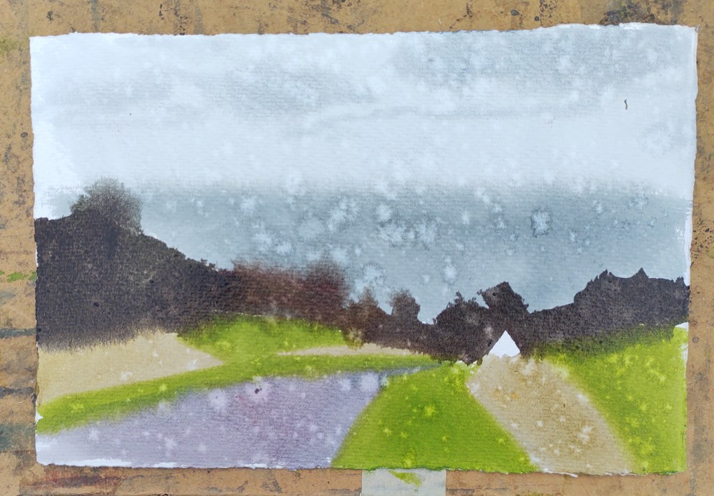
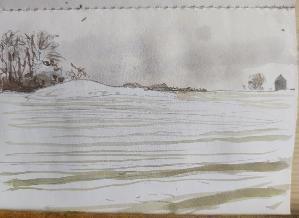
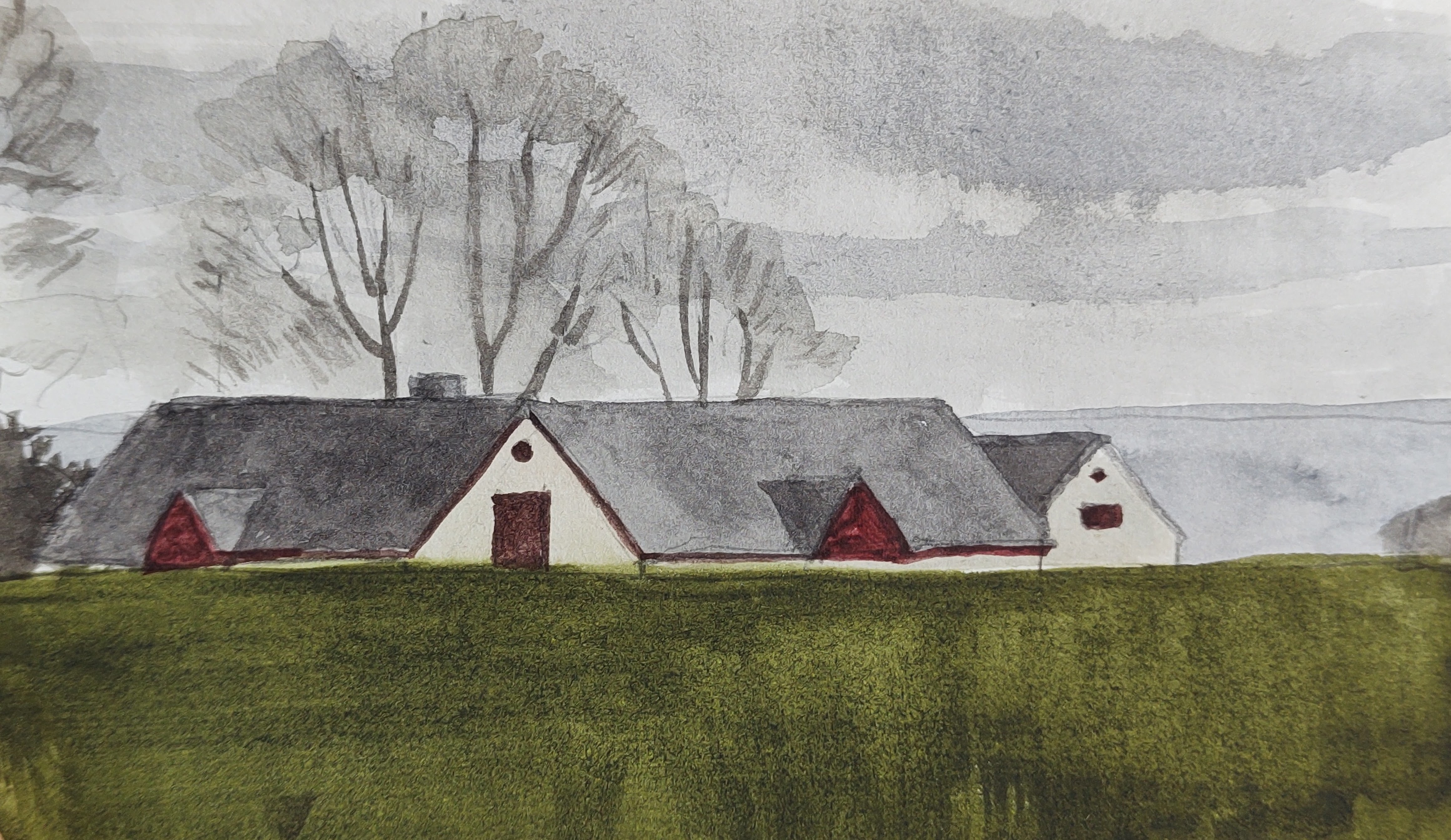
I packed up and walked on as the rain and wind intensified, stopping briefly to sketch the triangular gables of the farms stung out along between the fields and the coast.


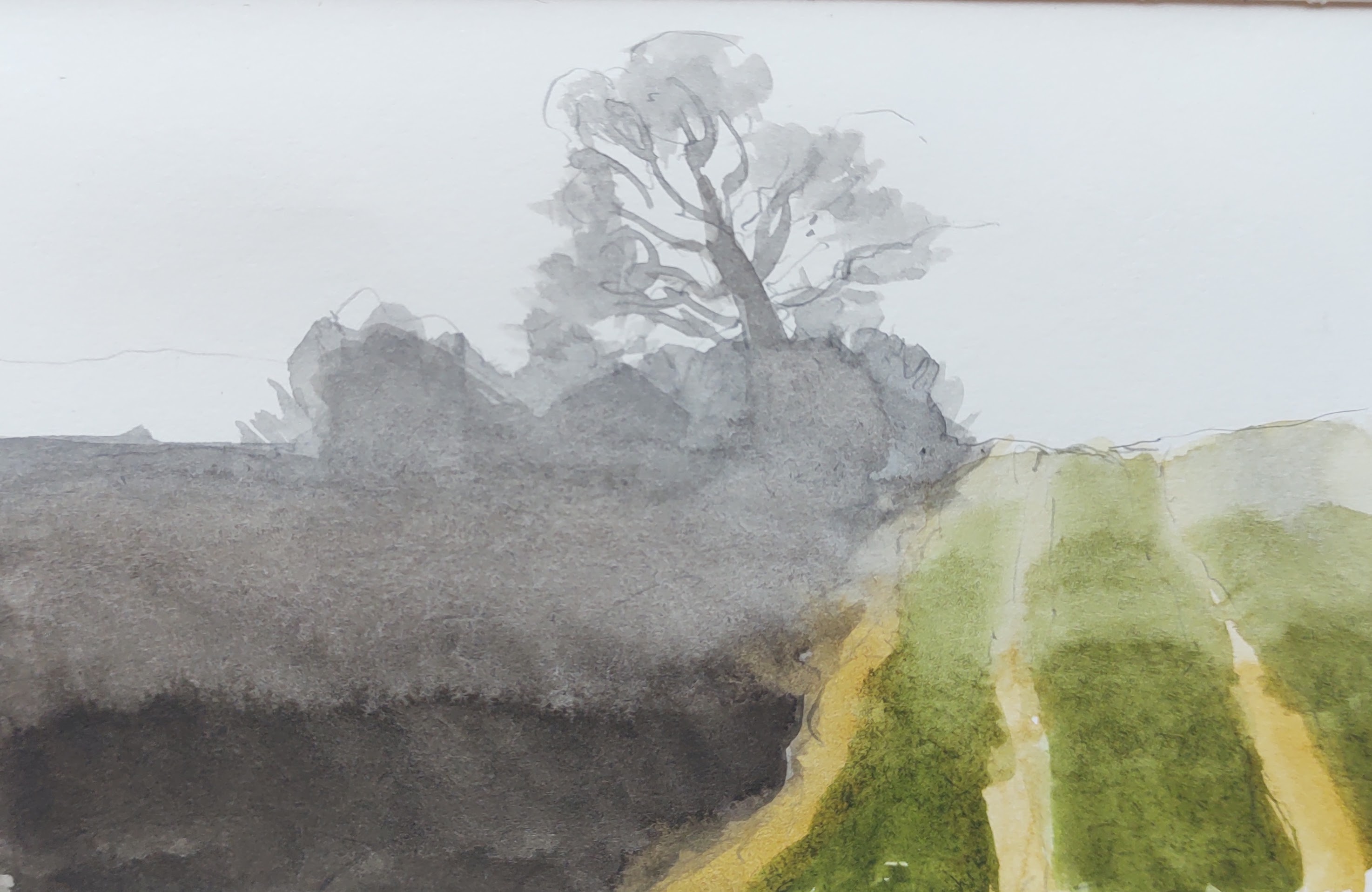
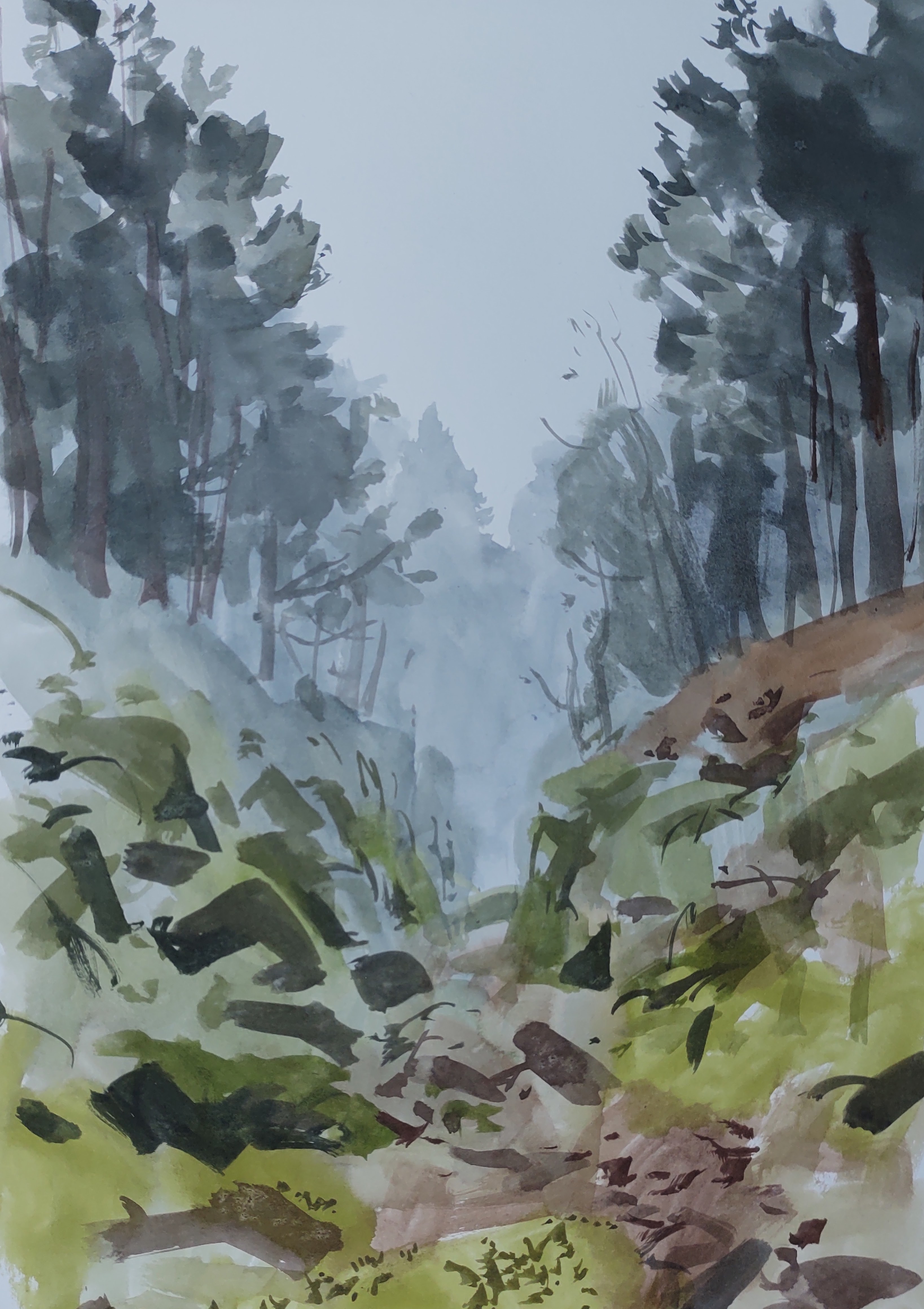
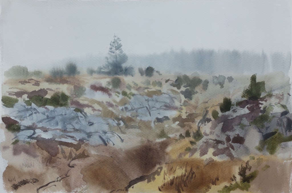
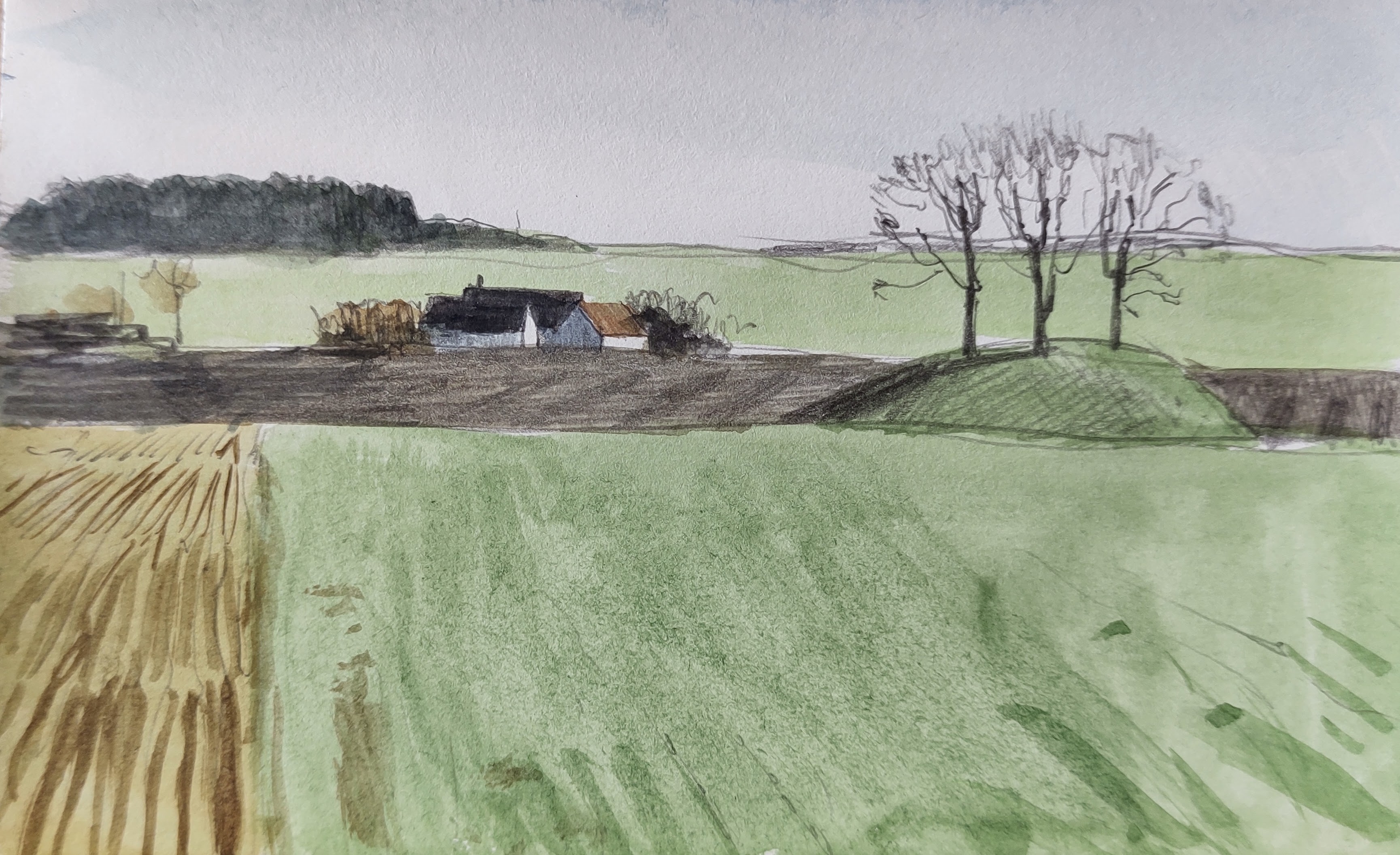
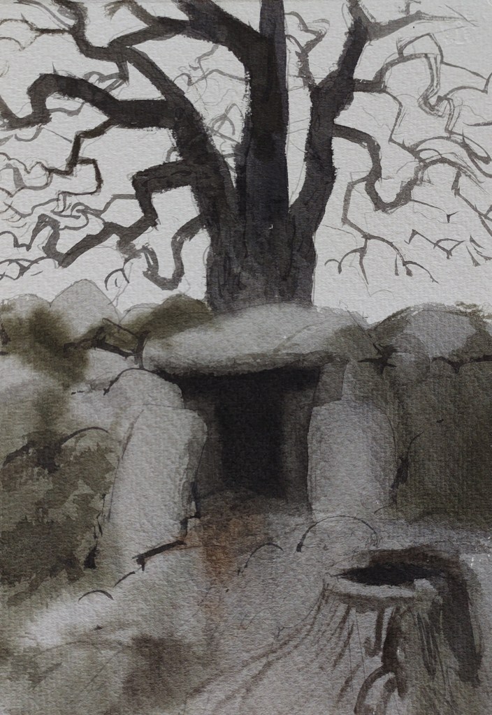
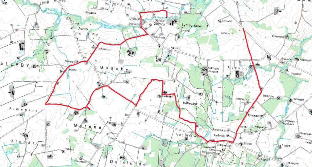
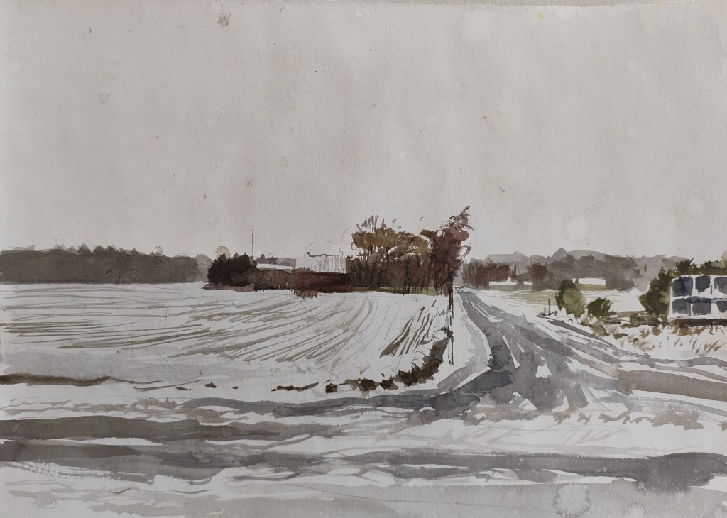
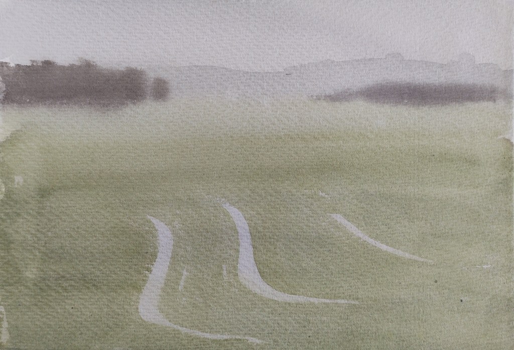
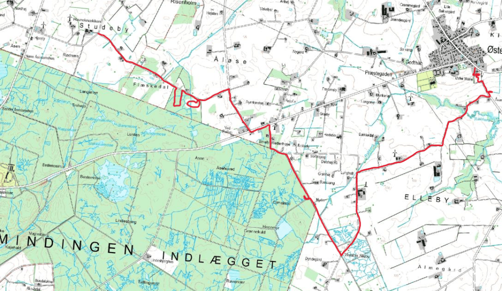
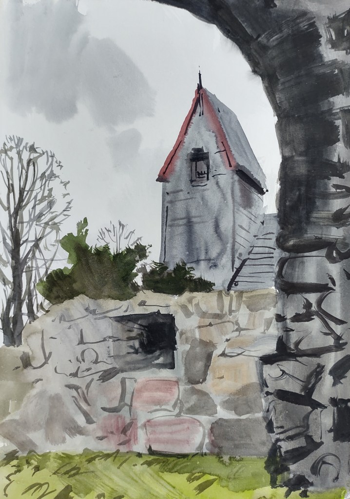
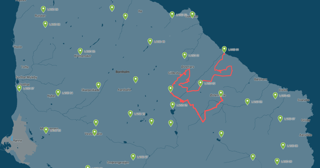
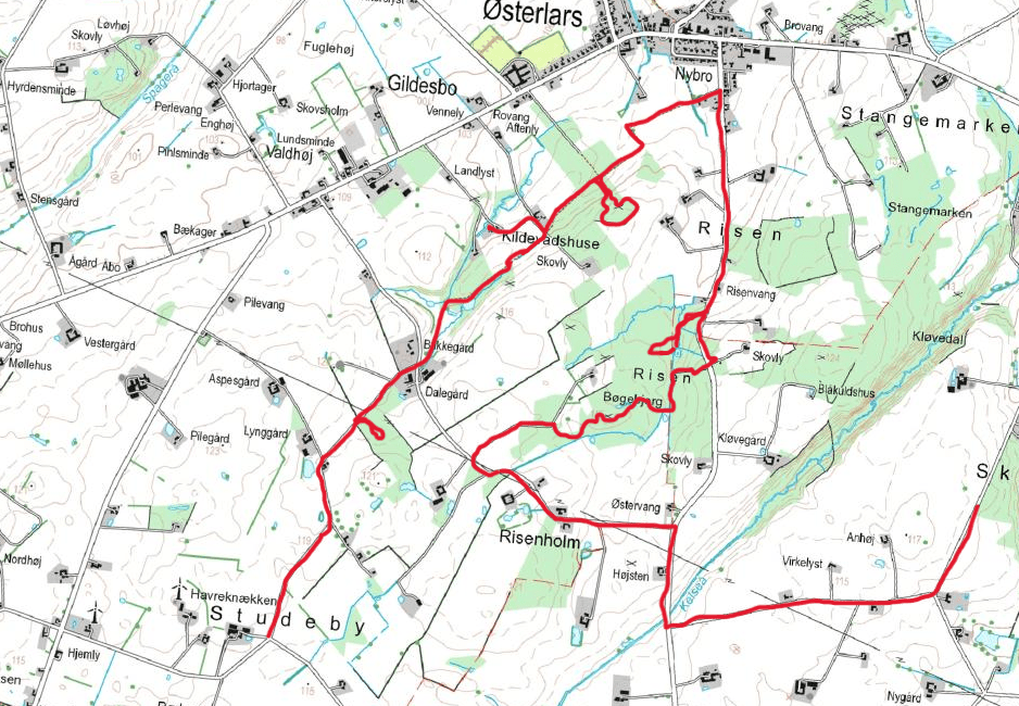
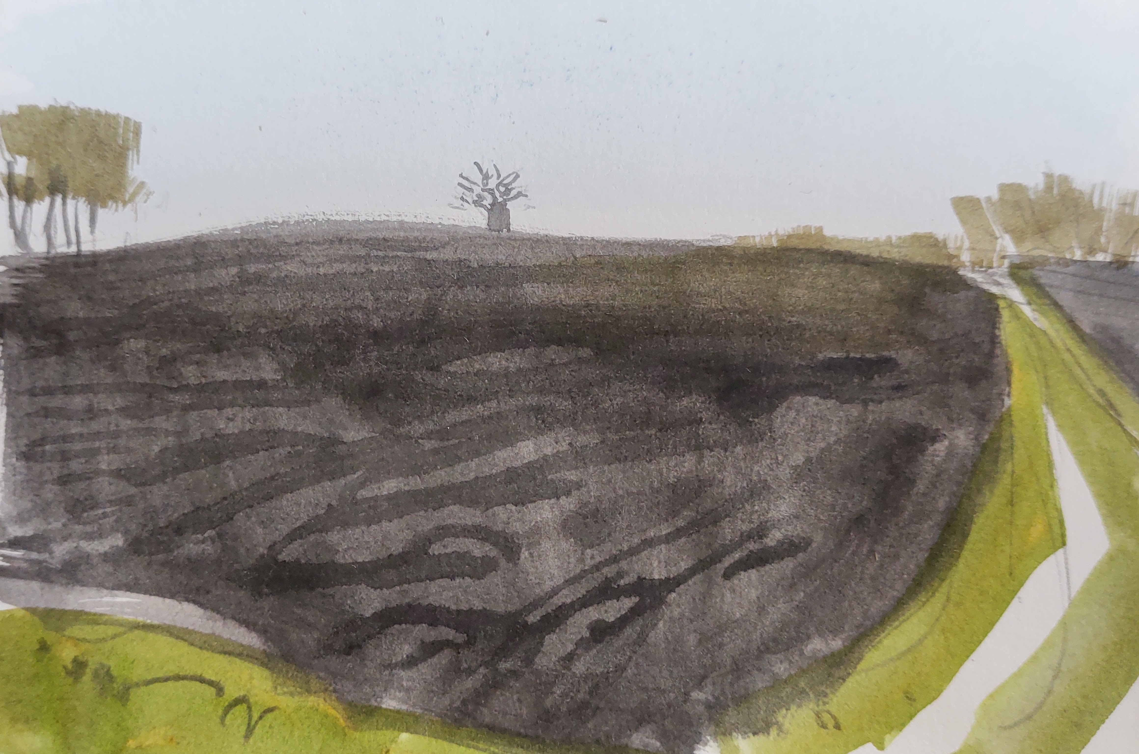
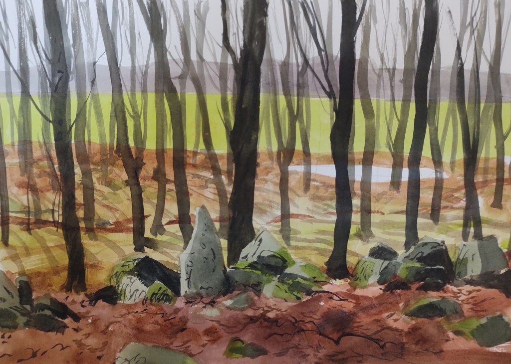
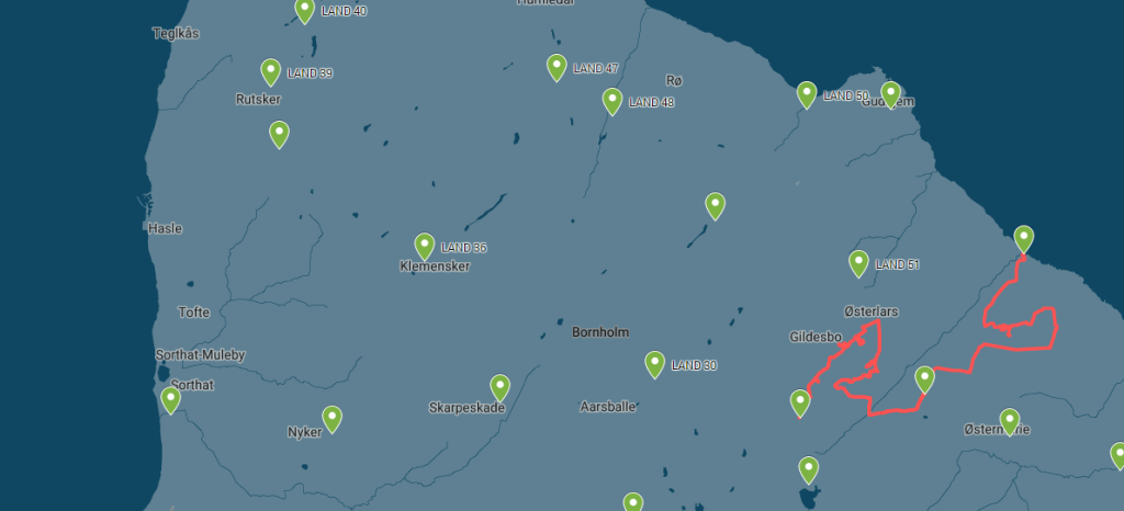
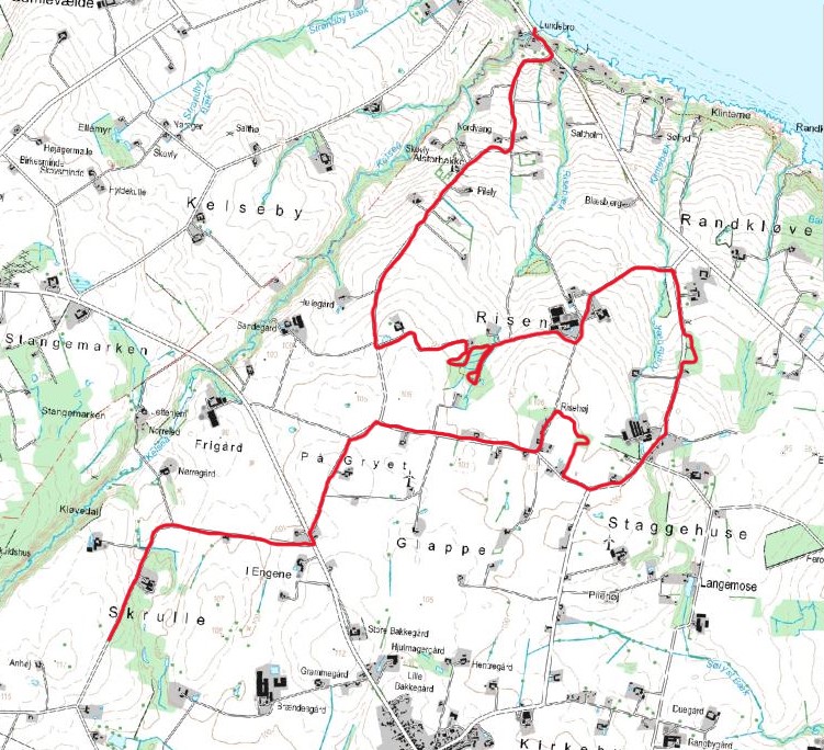
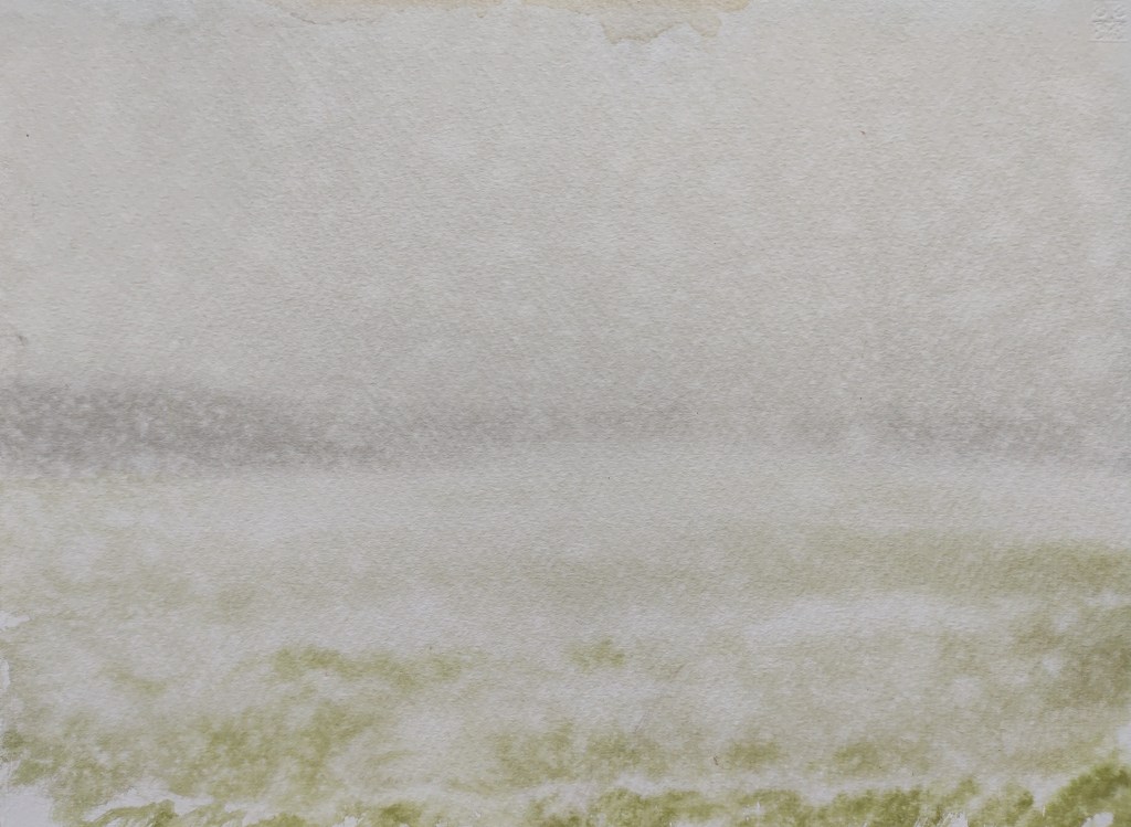
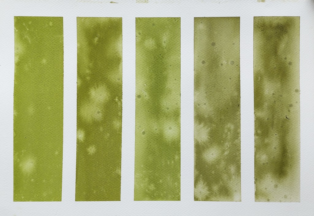
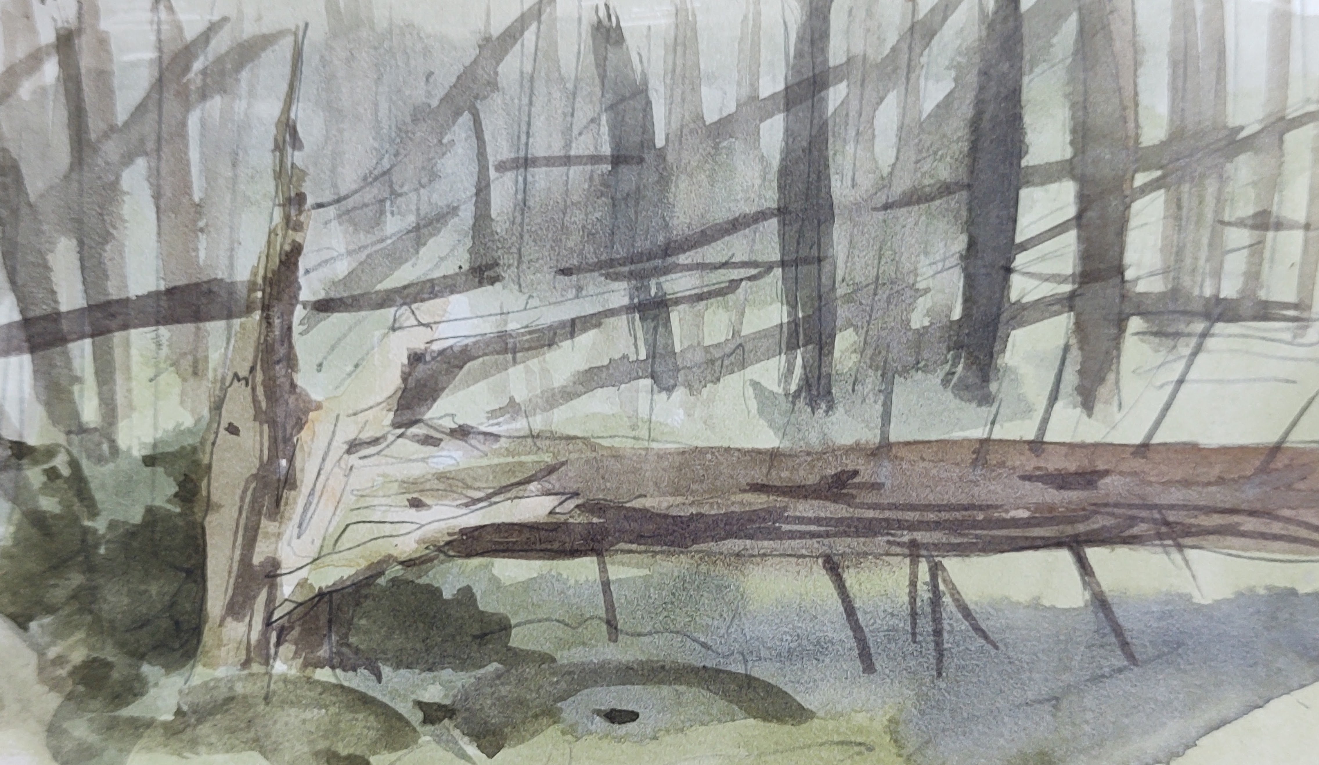
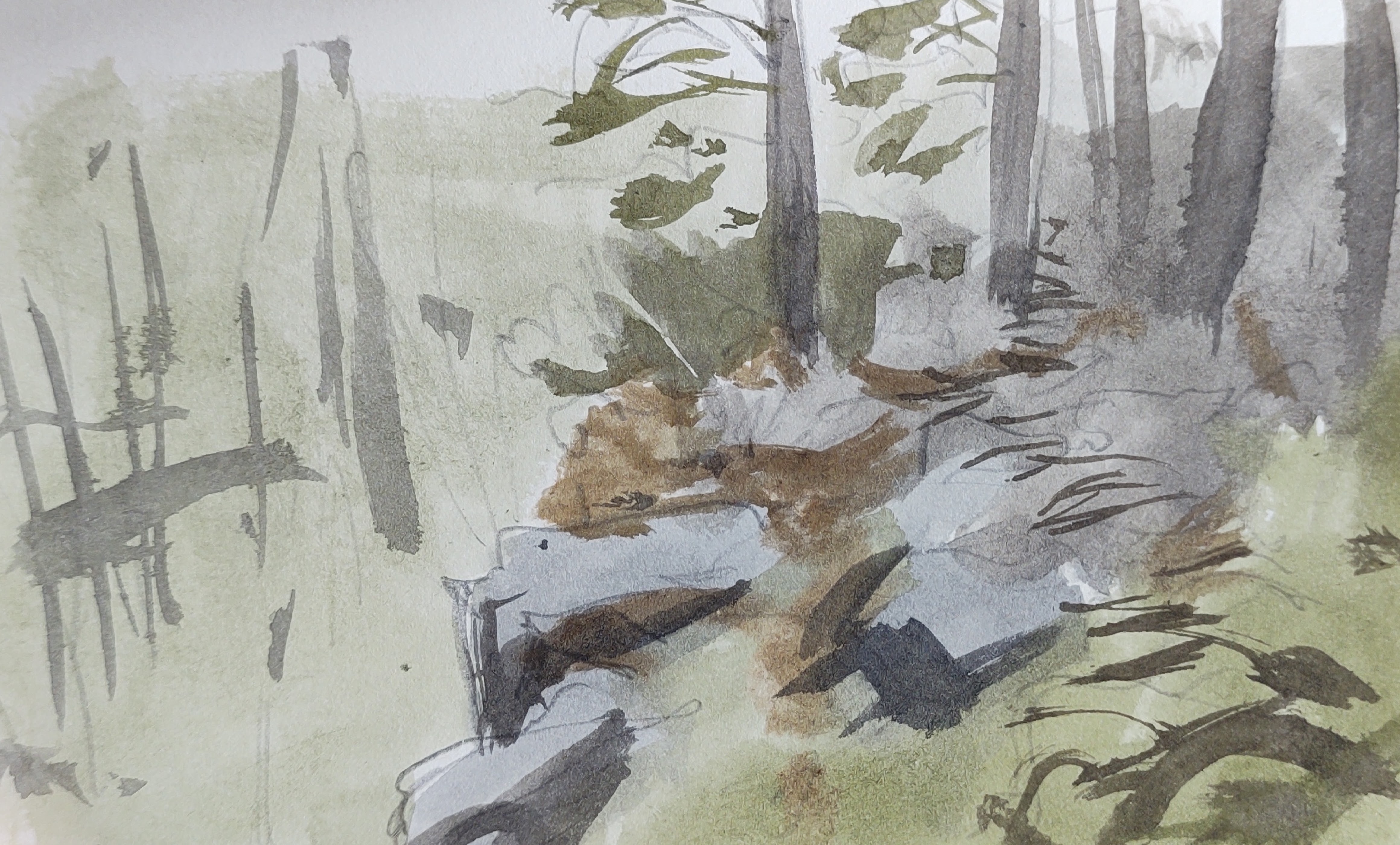
Turning into the wind I headed up towards the woods. I spent a long while trudging over muddy fields trying to find a path, but to no avail. Eventually I arrived at the Hell Hills, the less well-known and explored eastern cousin to the Paradise Hills. Here I wandered for a while, again struggling to find a decent trail. I arrived at a small stone structure, the site of one of Bornholm’s old ‘optical telegraph’ towers, which afforded me some shelter from the rain. I painted a sheet of paper and exposed it to the rain.

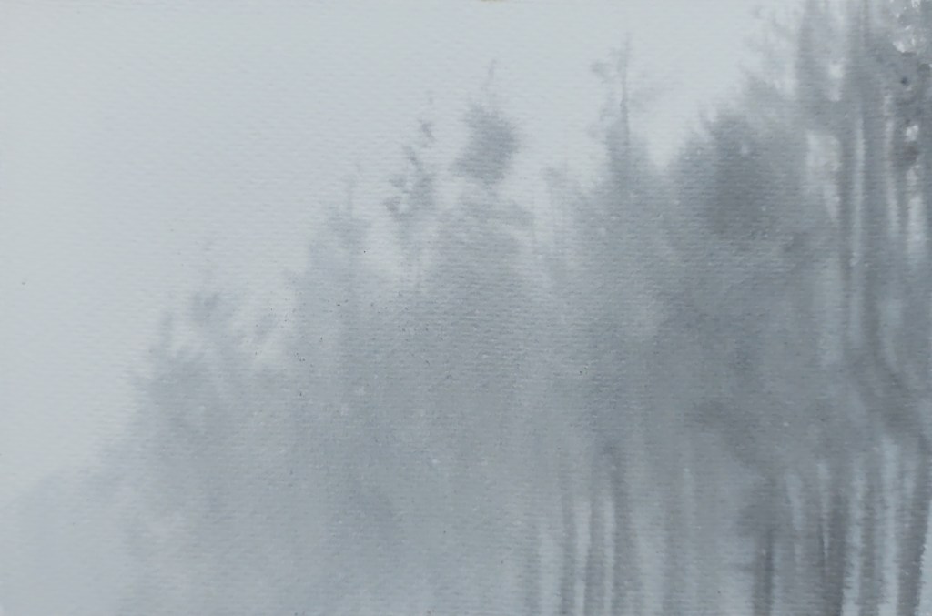
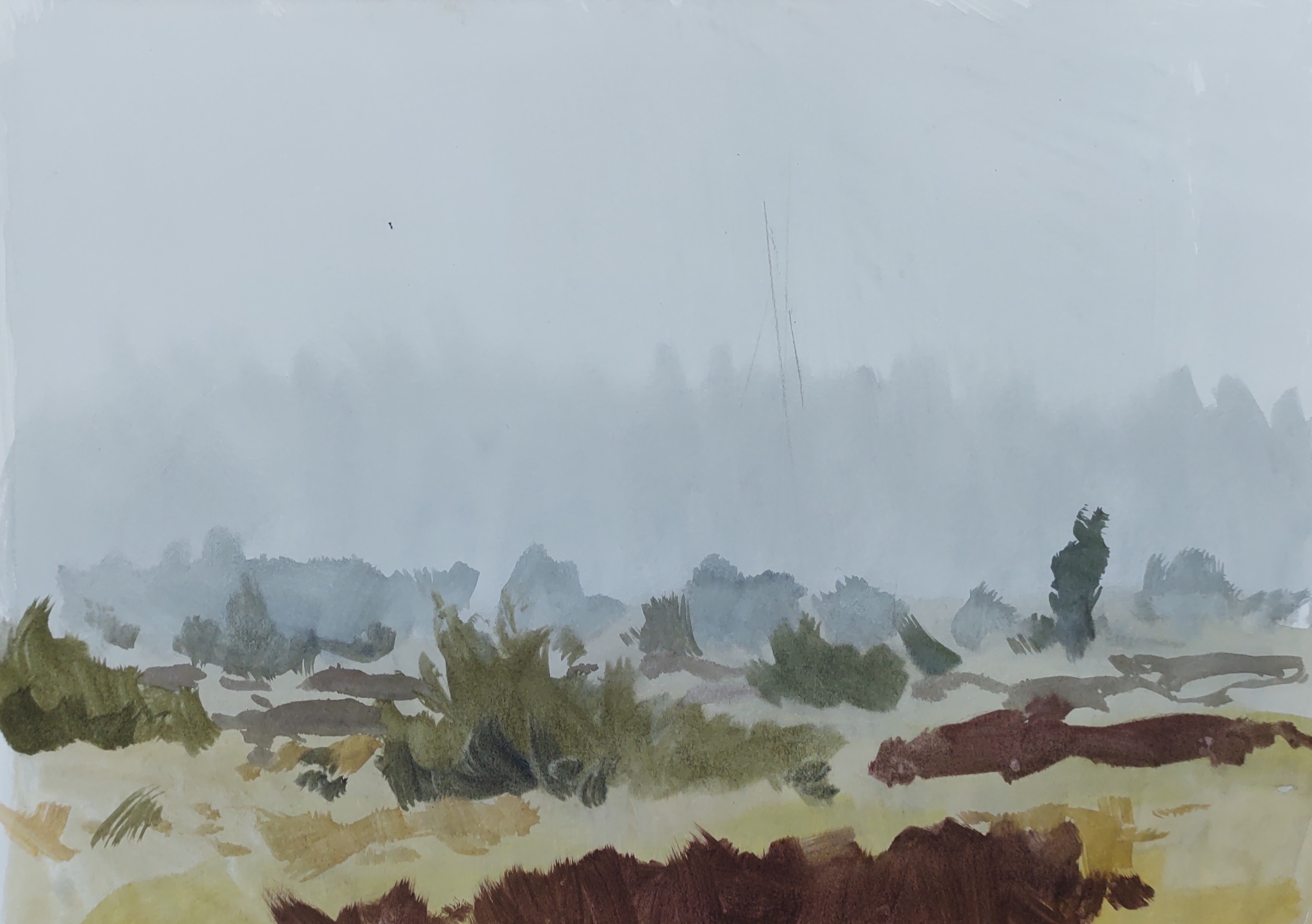
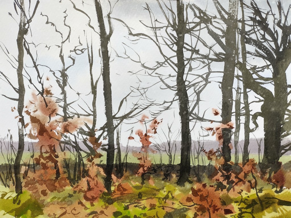
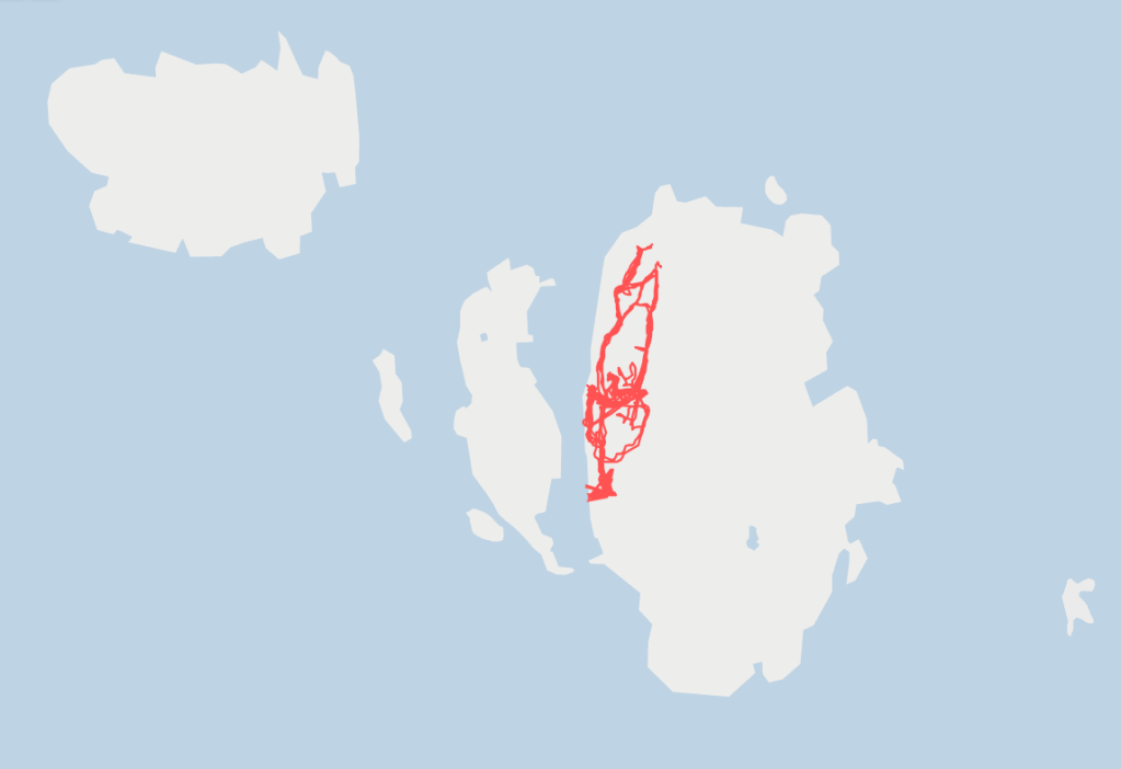
I walked on. The badly maintained and waymarked paths, combined with my appalling sense of direction, resulted in many wet and muddy hours wandering the aptly named Hell Hills. I made more rain paintings but decided to concentrate on the GPS line recording my journey instead, meandering onwards in the mossy and sodden forest before eventually emerging into the more open and visitor-friendly Paradise Hills.

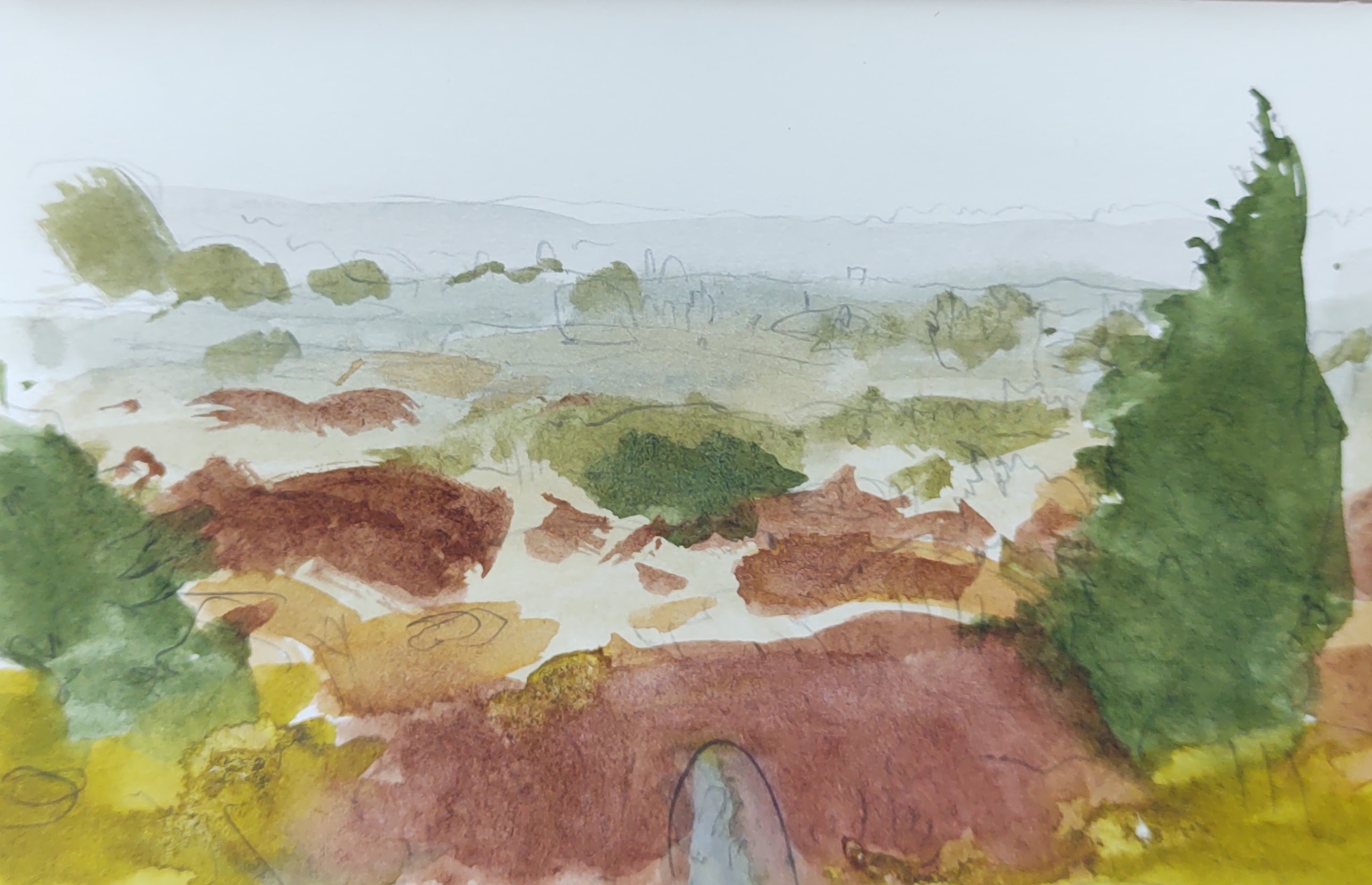
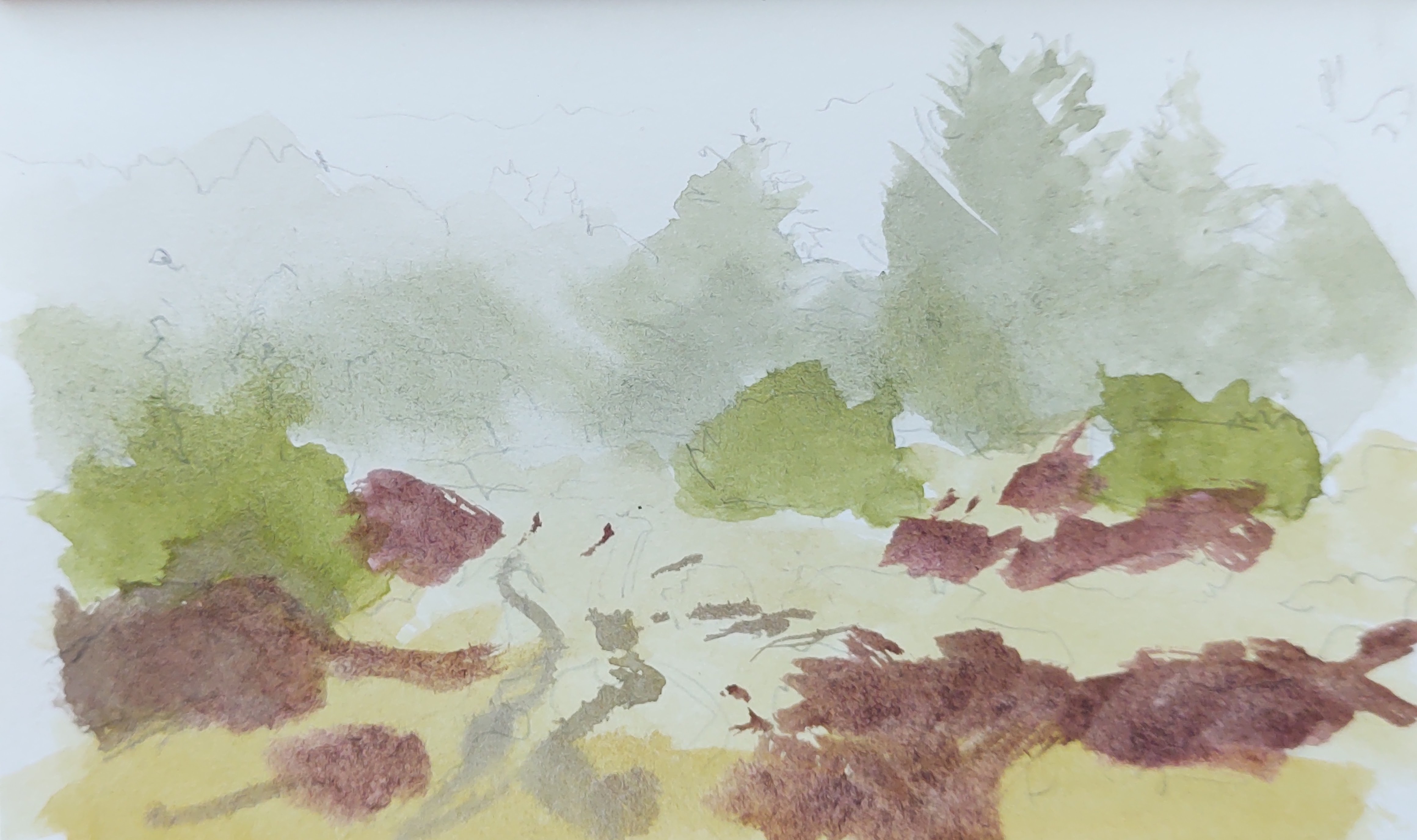
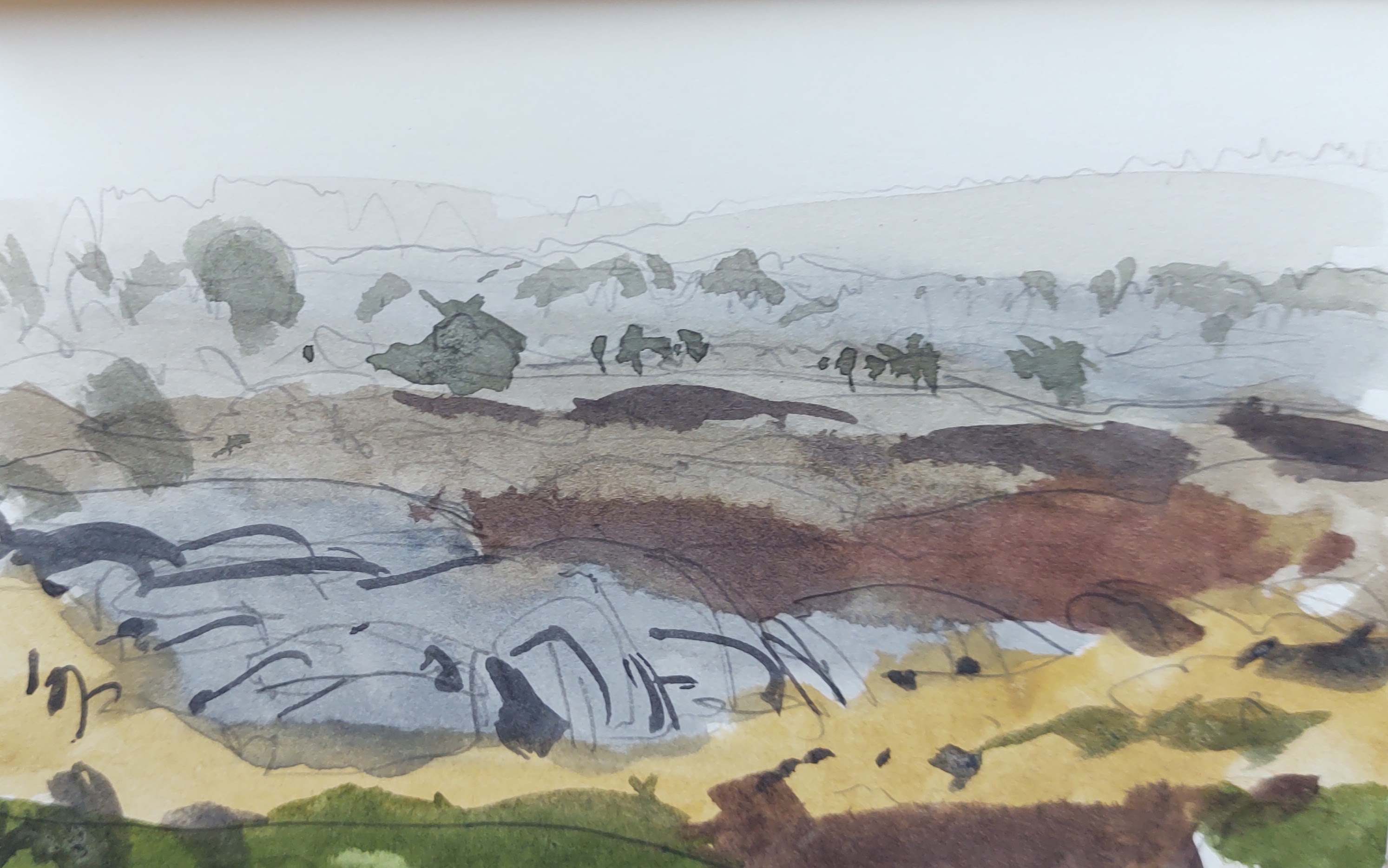
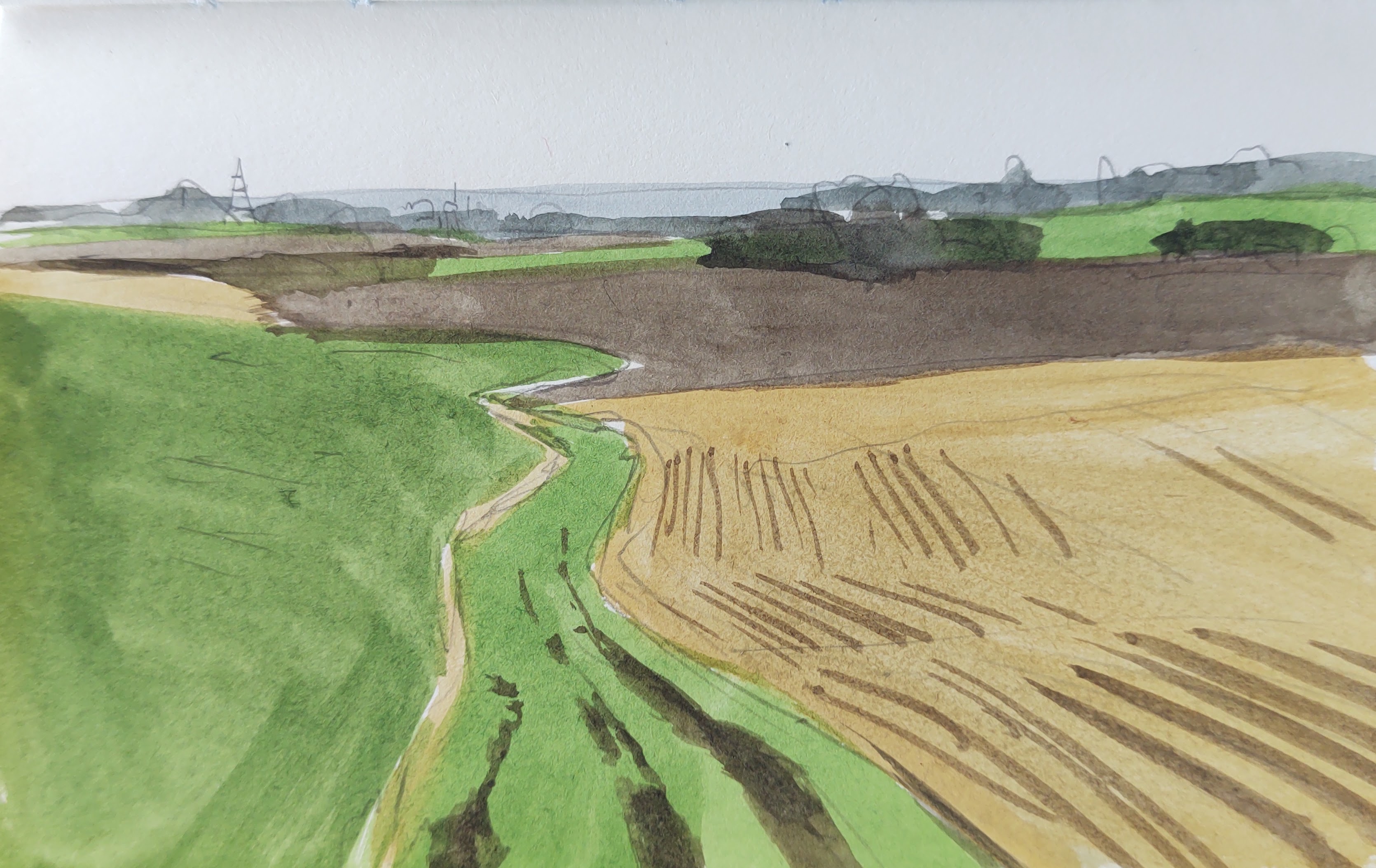
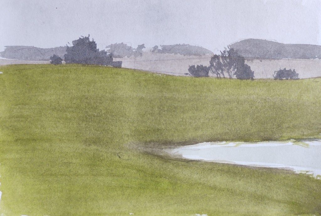
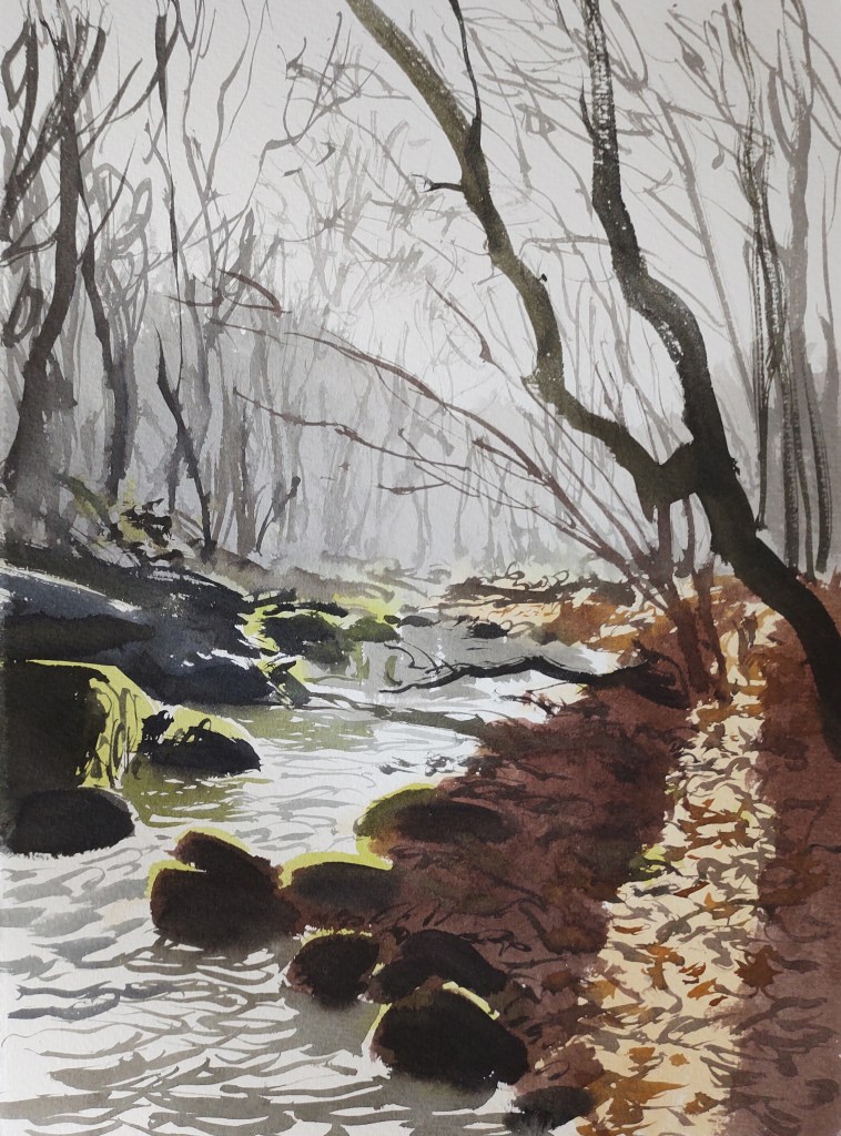
By now the rain had ceased and with it my mood lifted. I walked along Kodal – a wonderfully picturesque rift valley with sides of mauve-grey granite bedecked in gold-green moss and burgundy heather.
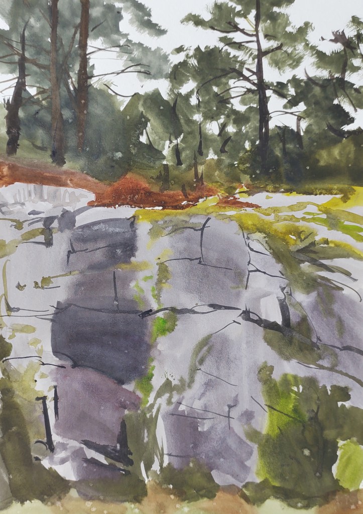
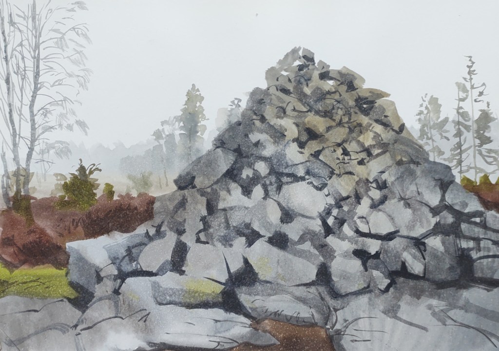
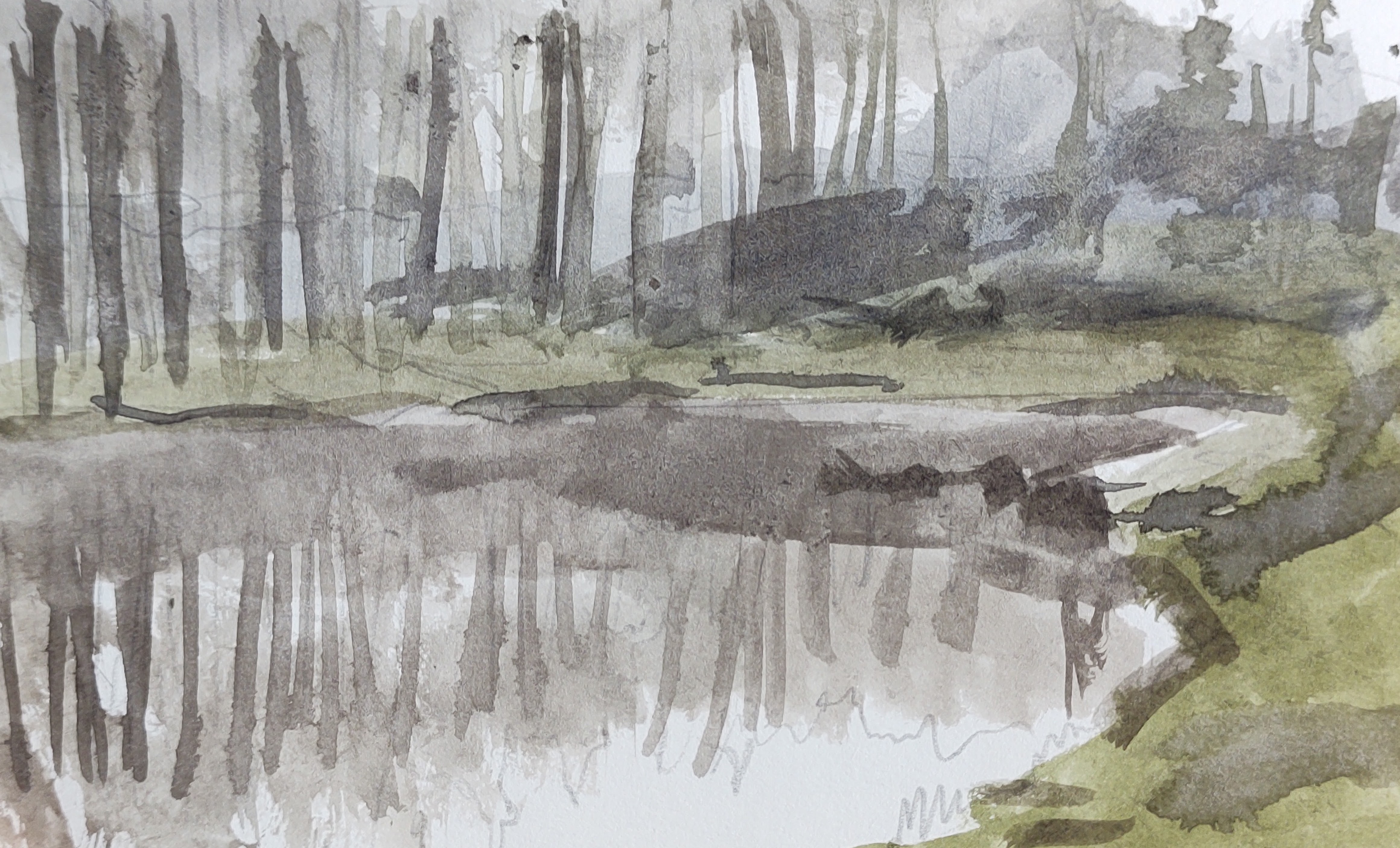
Absolutely exhausted now I trudged on, around the perimeter of two small forest lakes, before arriving at my destination – ‘Rokkesten’, the Rocking Stone – a huge glacial erratic boulder perched on the bedrock. I tried to set it in motion but to no avail. Behind the clouds the sun set, and the day was done.
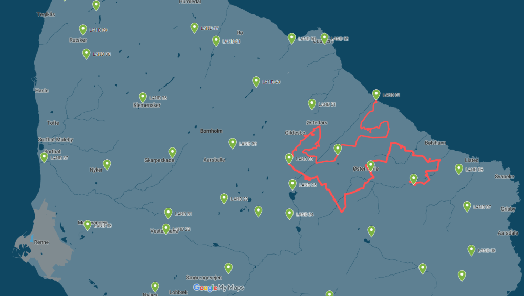
LAND 08
WEATHER REPORT – overcast, rain for much of the day. Temperature 3 degrees. Wind 8 m/s from the west. Hours of precipitation: 6 hours. Hours of sunshine: 0 hours.
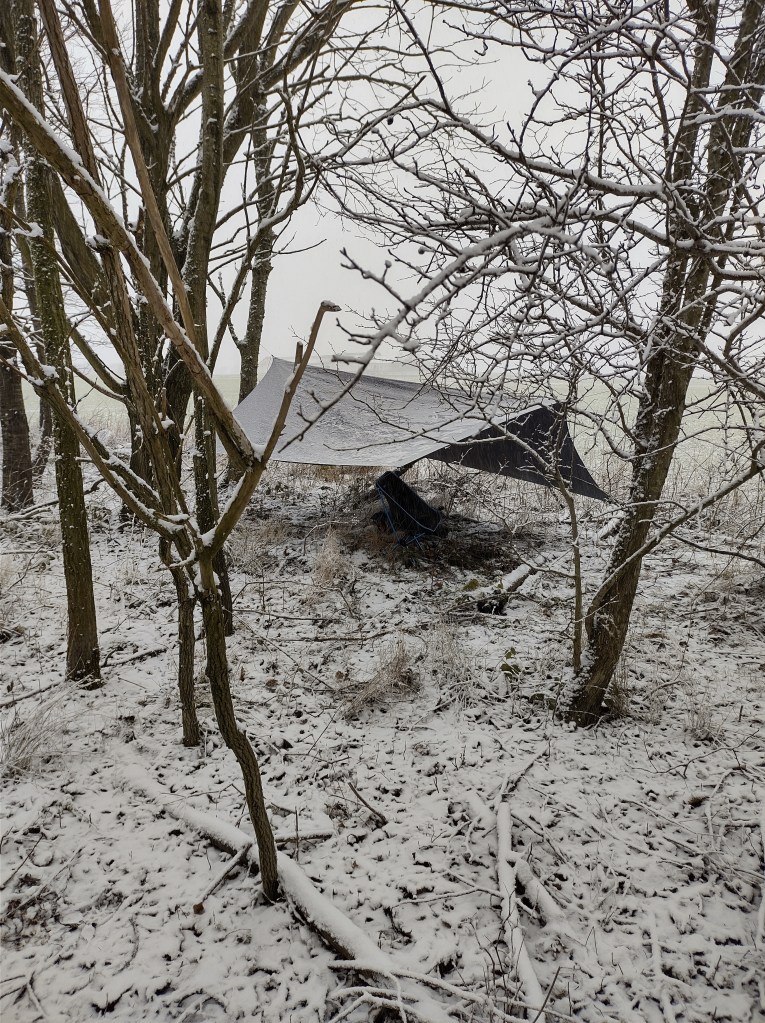
STOPS with the BIVVY – 1
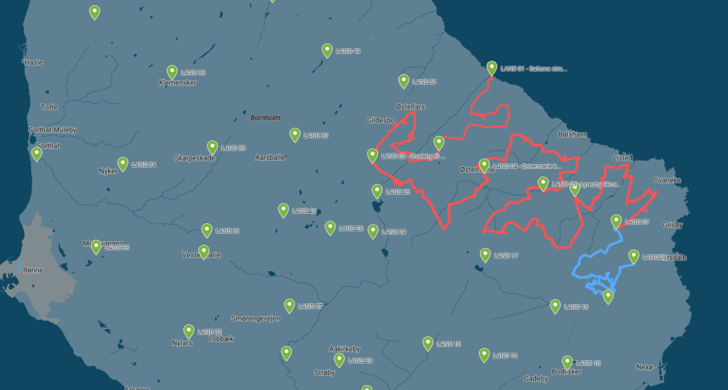
KILOMETRES WALKED – 18.46 km
DAY LASTED – 10h and 20m
PEOPLE TALKED TO – 0
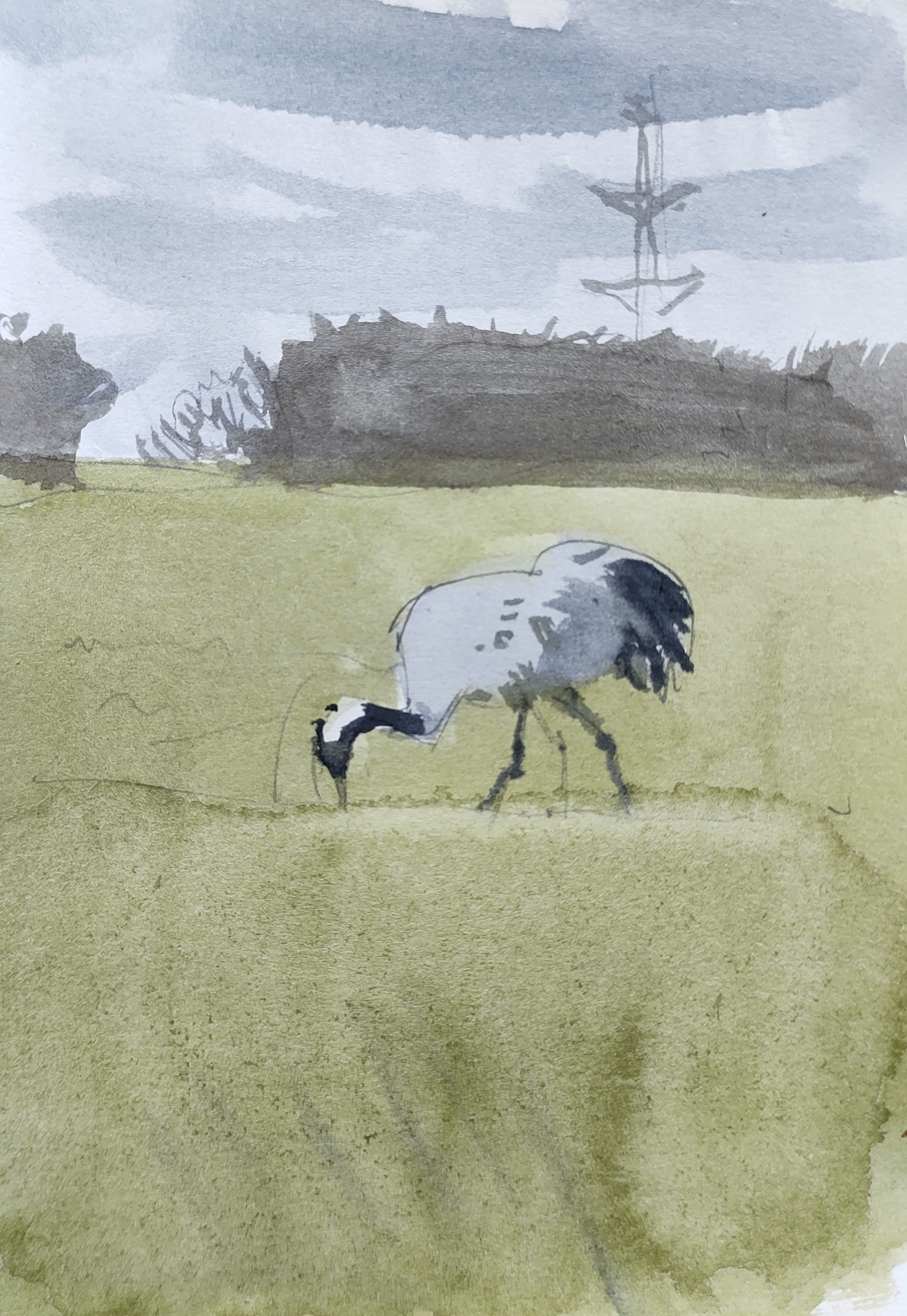
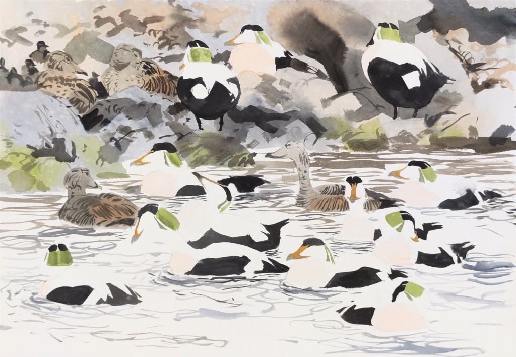
BIRDS SEEN and HEARD – 26 species: two new (skylark, whooper swan, running total = 51 species)
LESSONS LEARNED – My waterproof trousers get heavy when wet. I had to hold them up with one hand as I walked. Also, the path ‘Spor i landskabet’ on the map does not exist in reality.
IN MY HEAD – the song ‘Down so Long’ by the Doors: on repeat, the beat in time with my step.