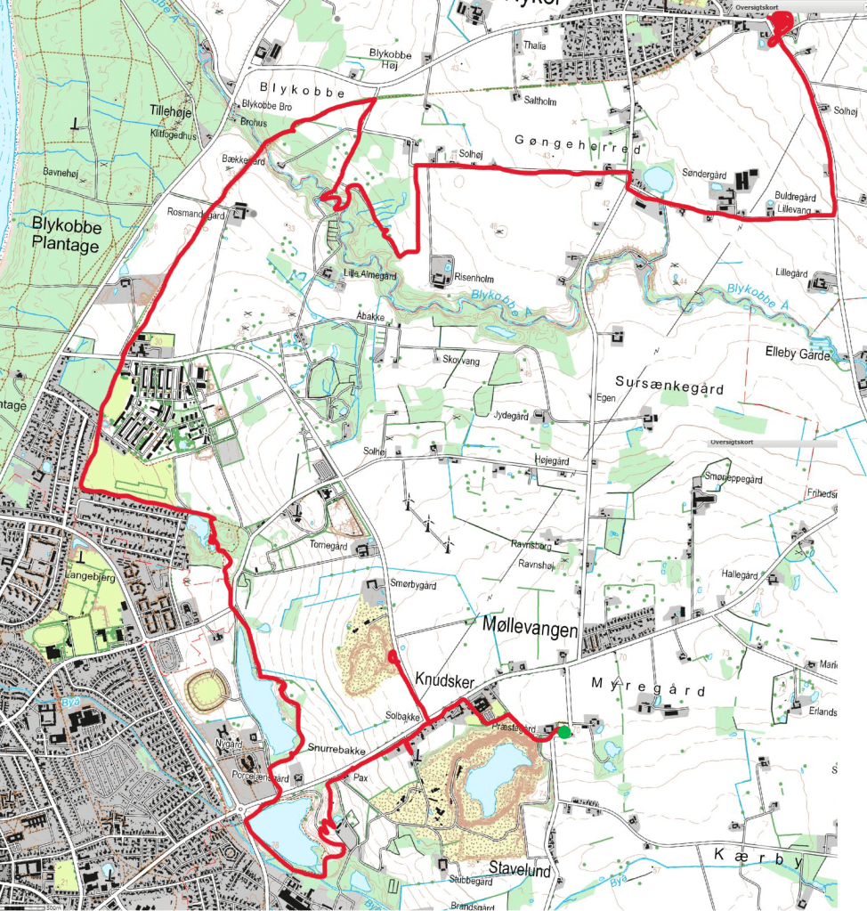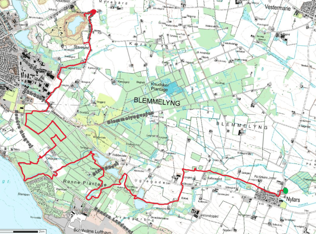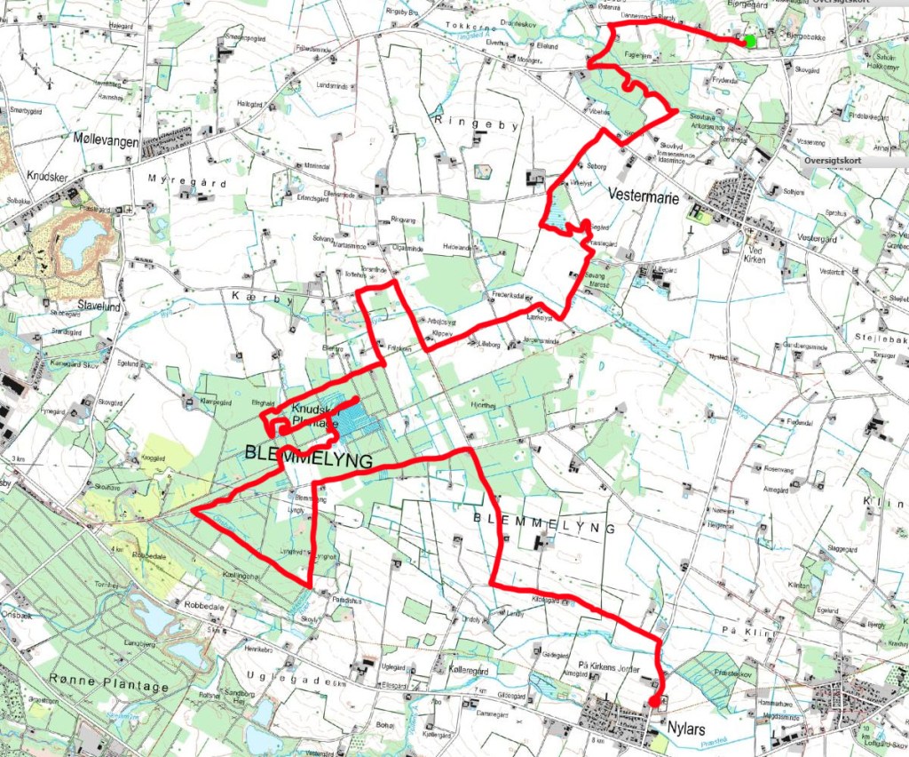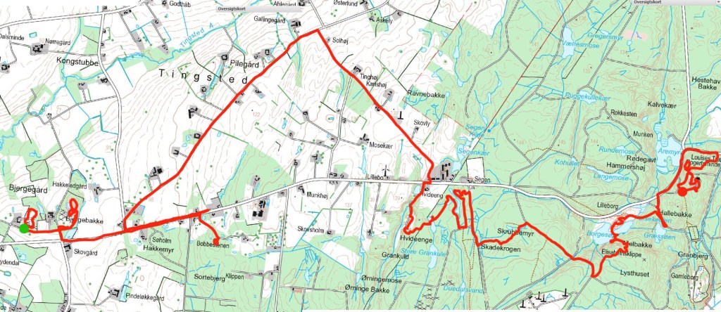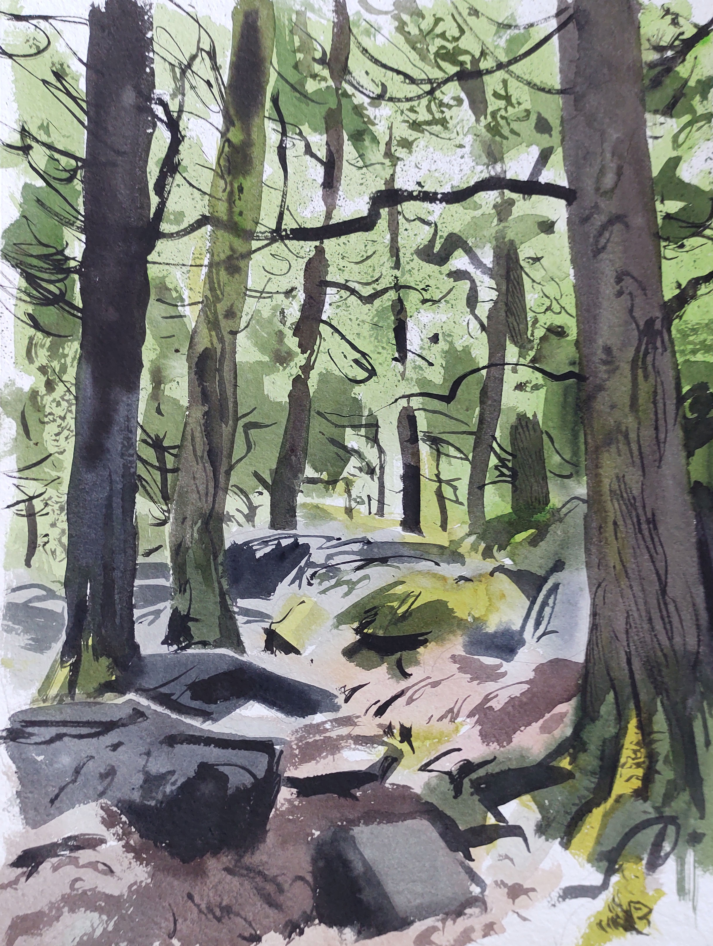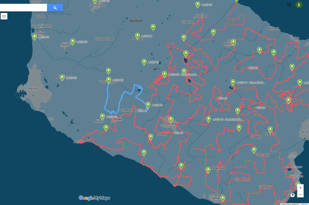
LAND 35 started just as the previous trip had ended – with grey skies and driving rain. Decked out in my waterproofs, I headed northeast on the waterlogged road, as tractors and lorries scream-hissed past me. I was glad to turn off into a quieter road, and then again into a noiseless wood, where I trudged through knee-high wet grass through a young birch and spruce plantation, towards the Rø transmitter, a guyed antenna mast that towering 315 metres above me, and indeed all of Bornholm.
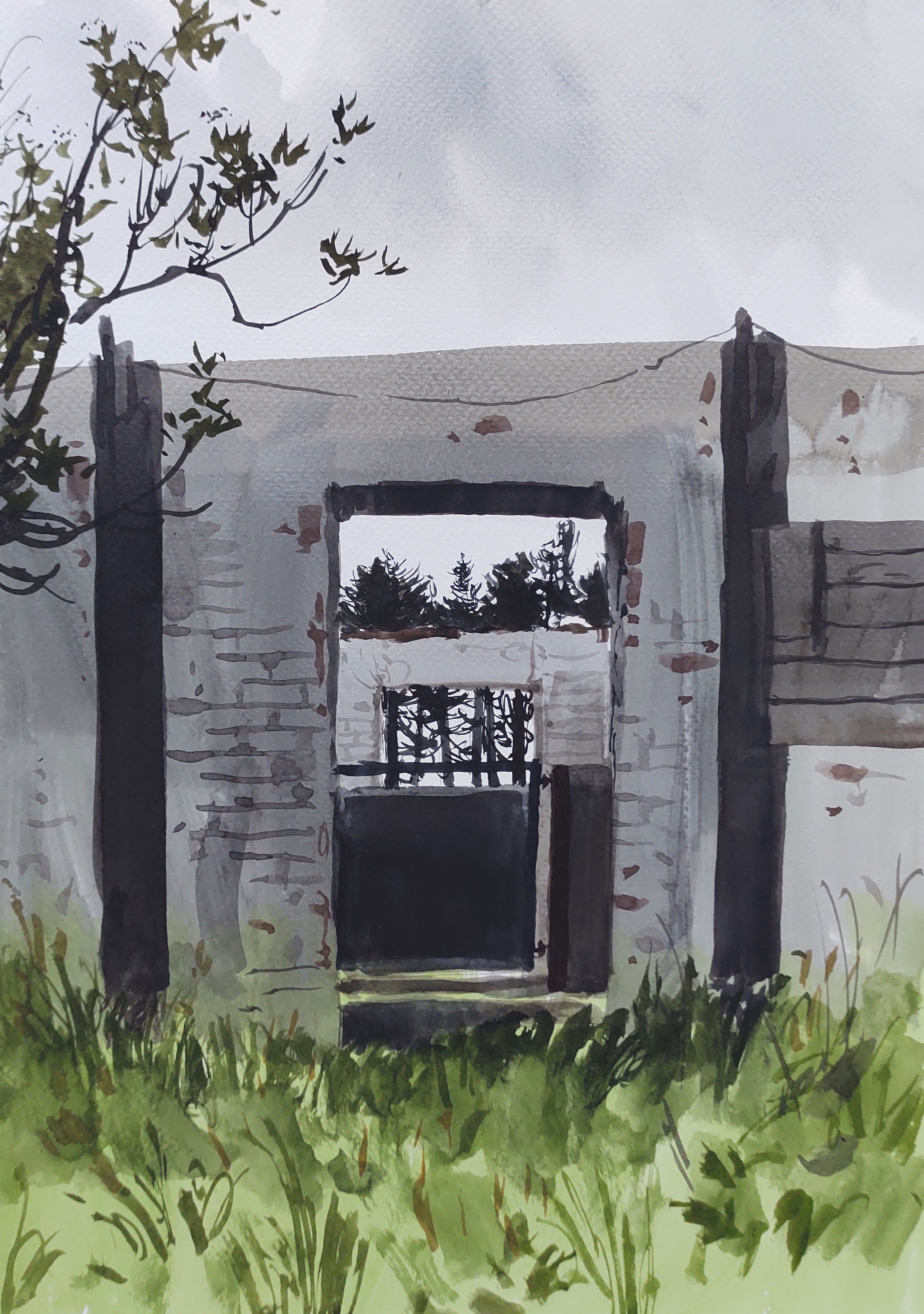
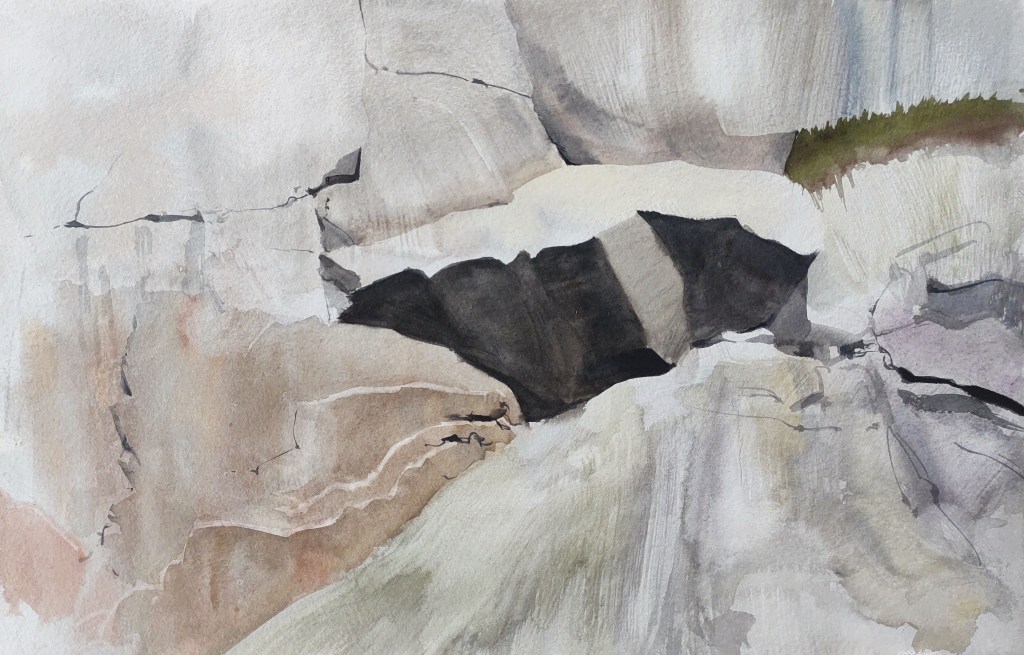
Eventually I arrived at one of the concrete bases from which the gigantic cables holding the mast in place are attached.

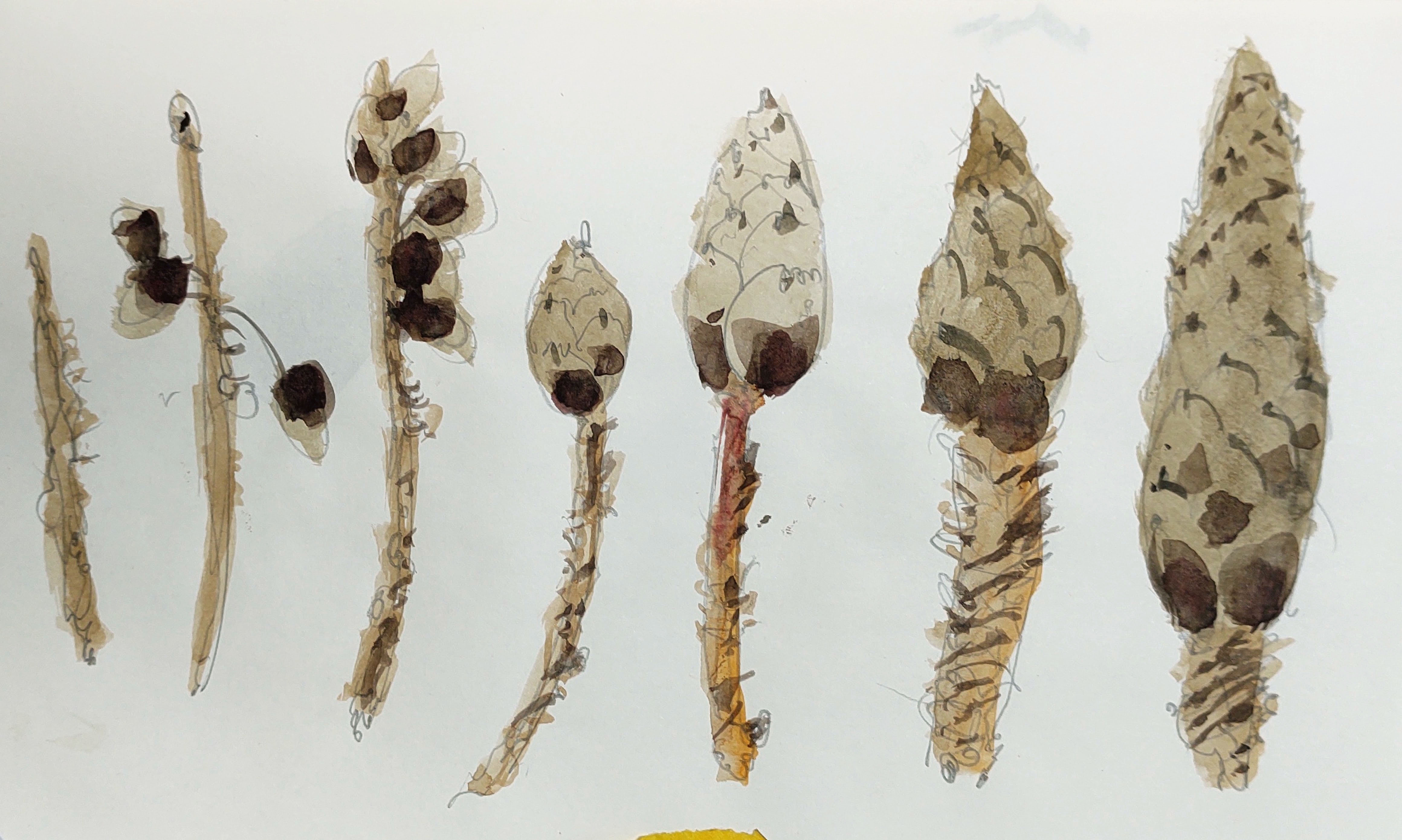
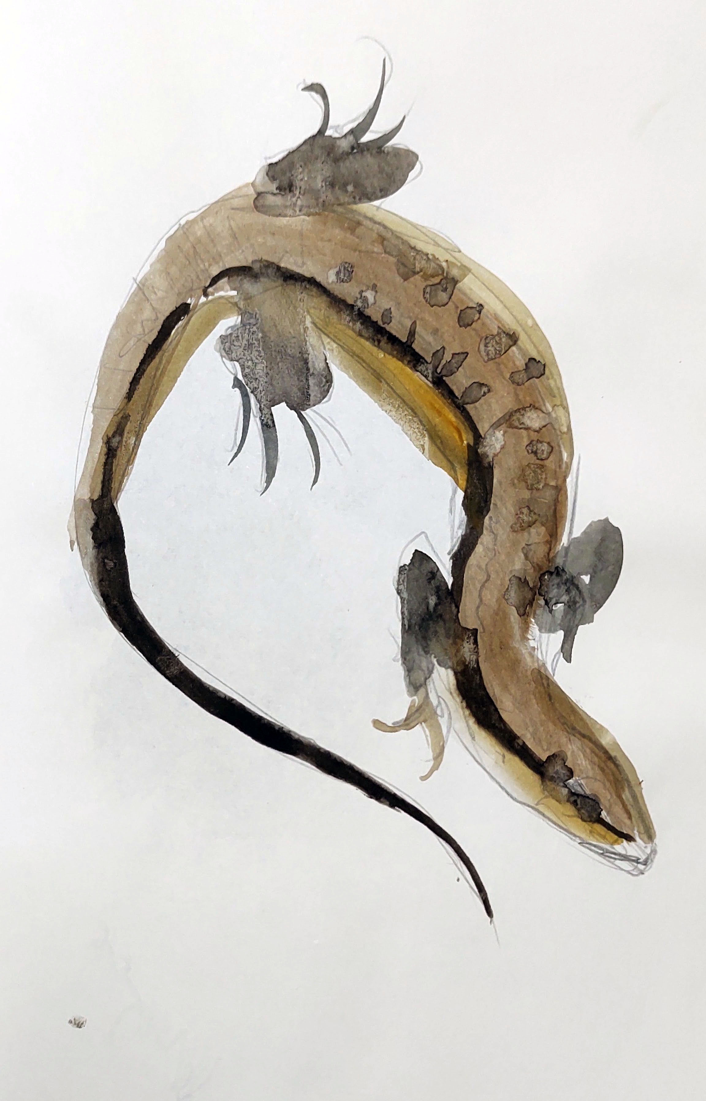
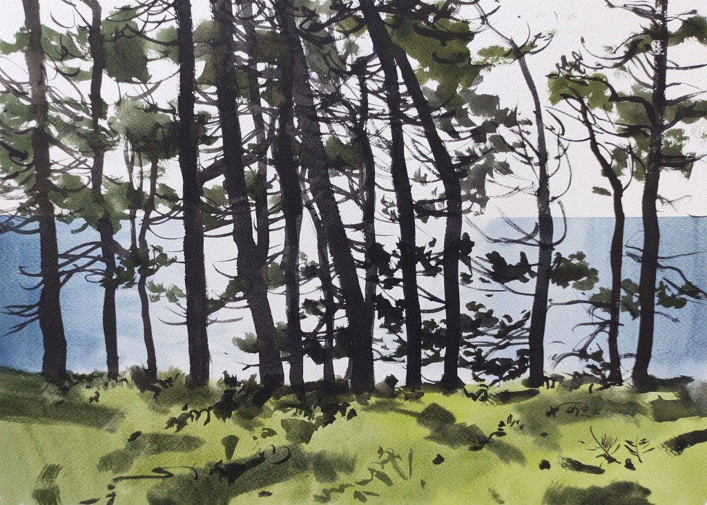
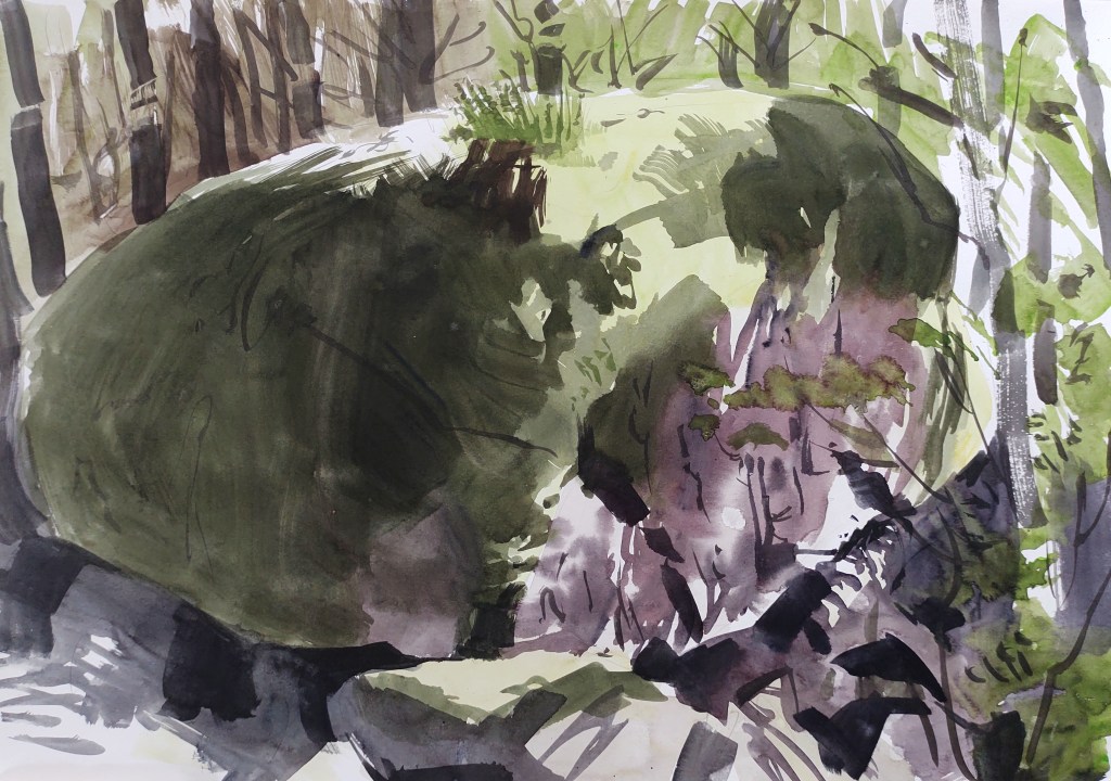
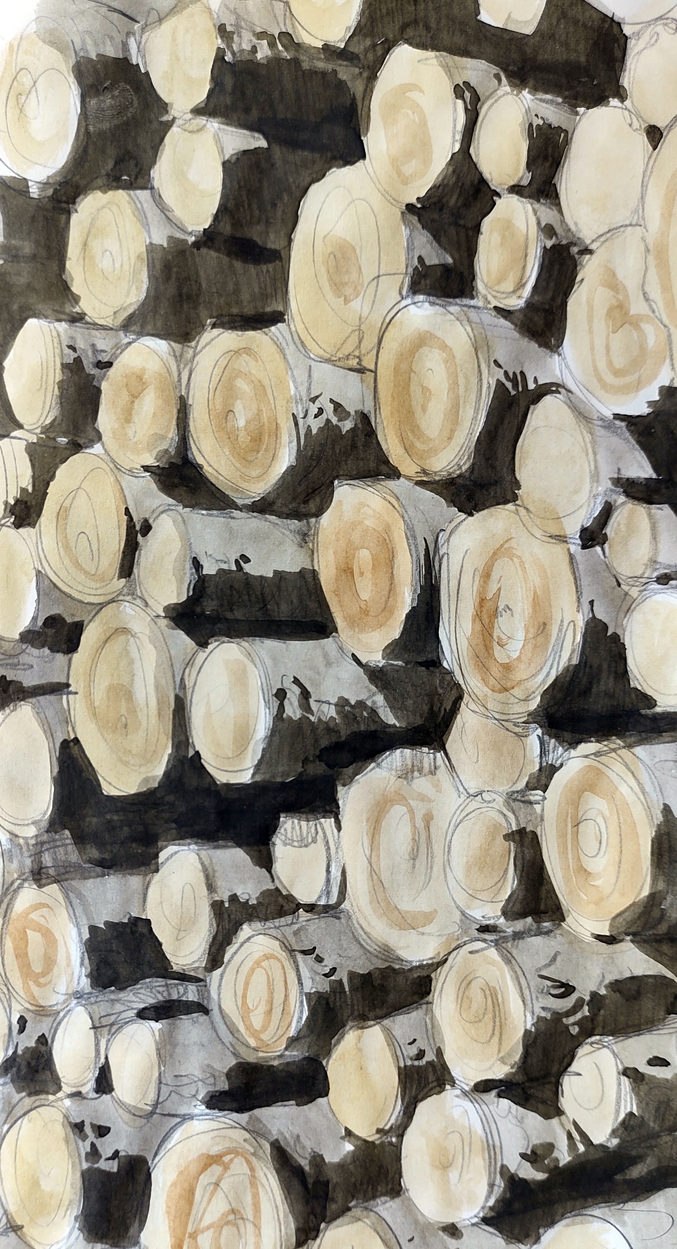
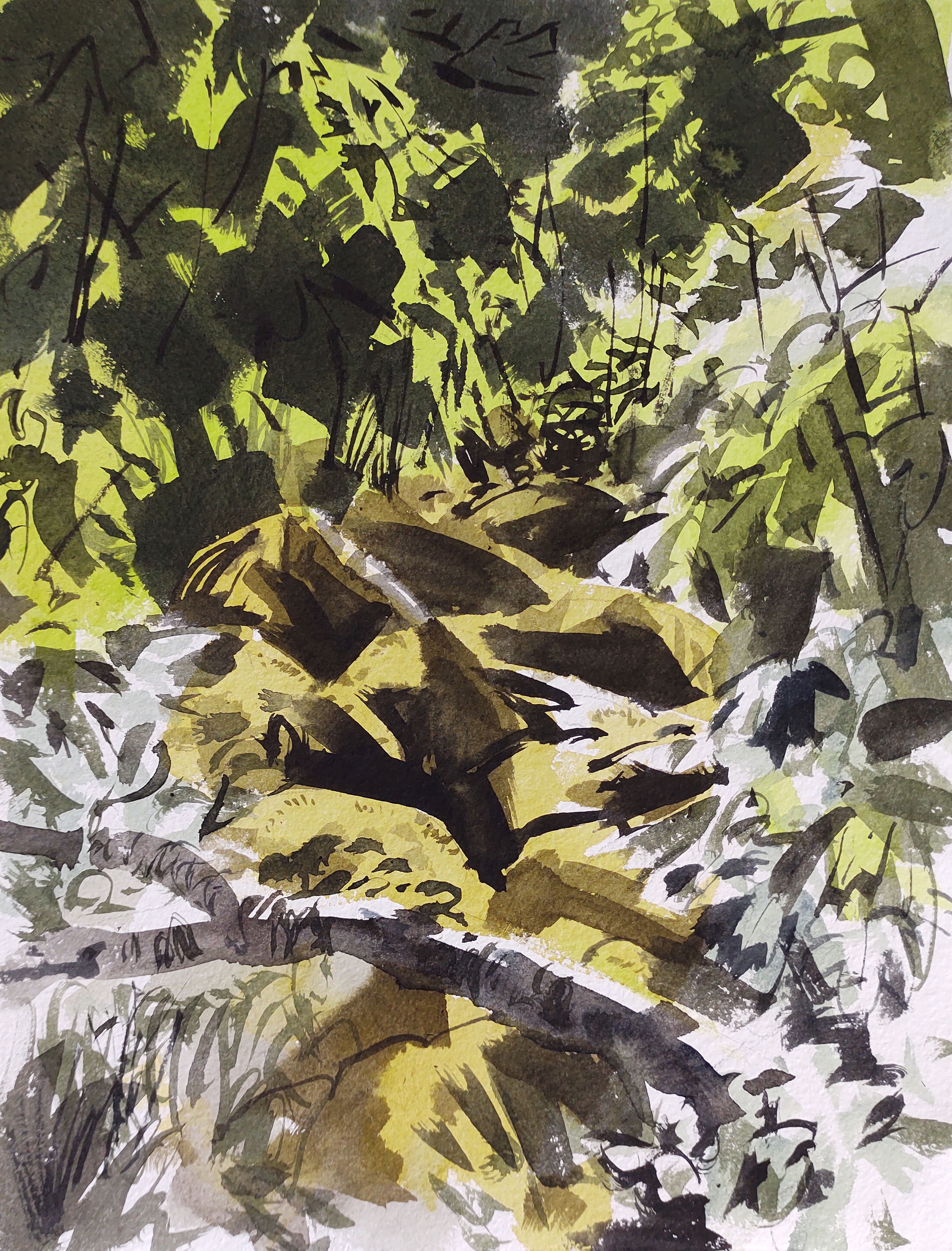
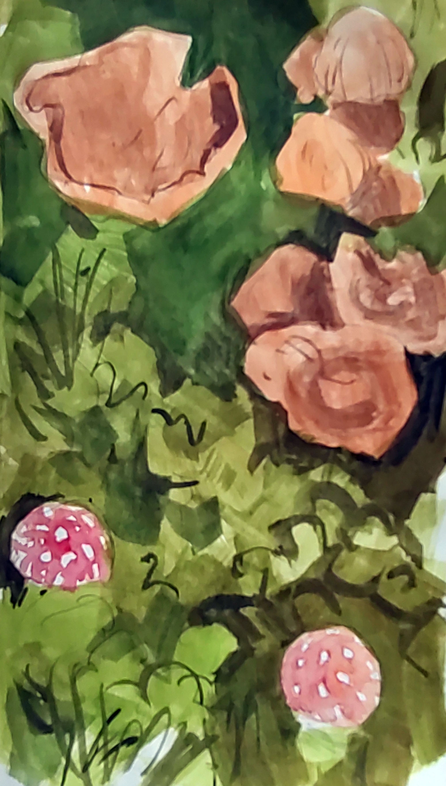
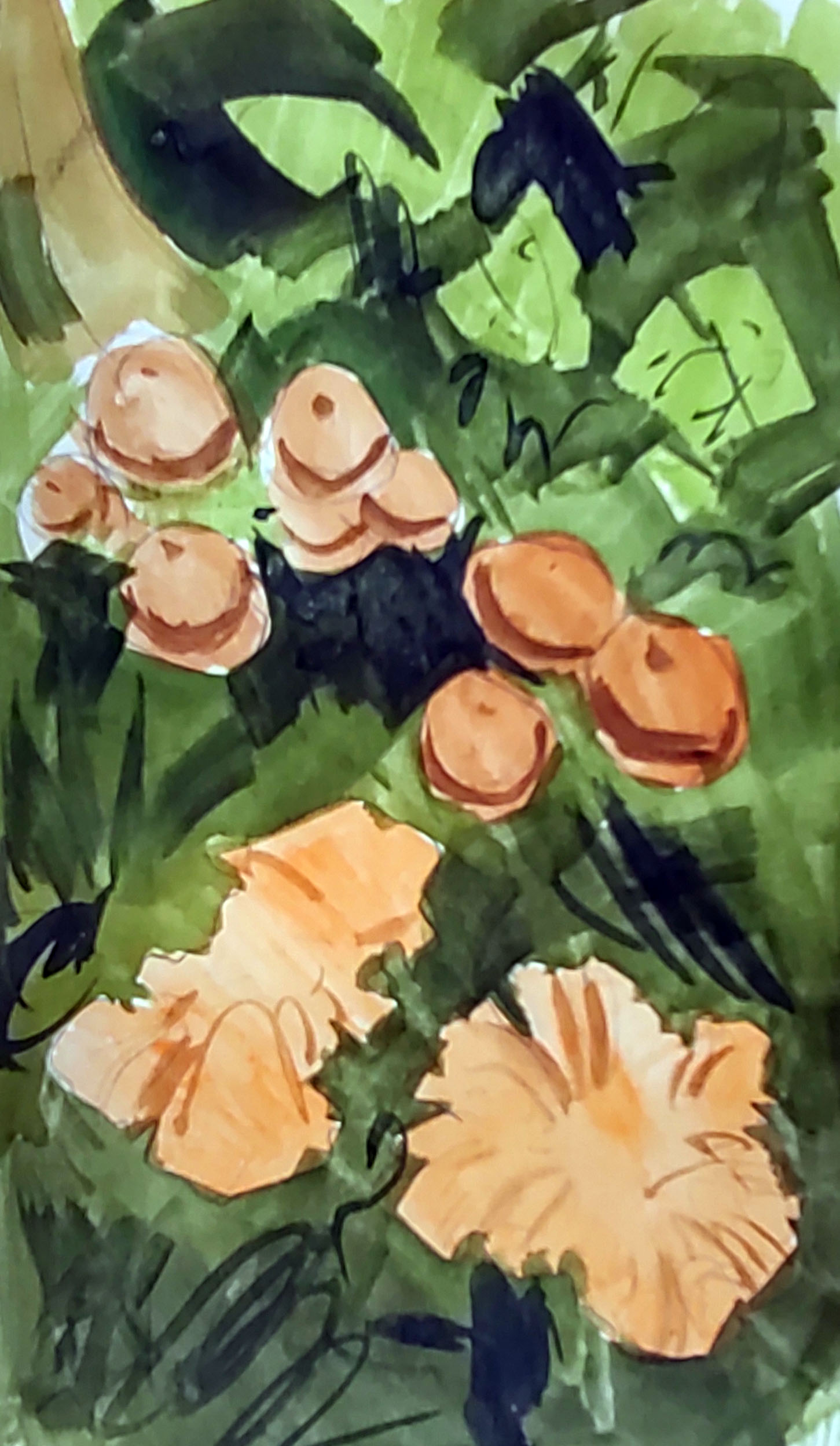
I walked on through the woods, my boots soaked through. All the wet weather we’ve had means that it has been a good year for mushrooms and fungi. And mosquitos.

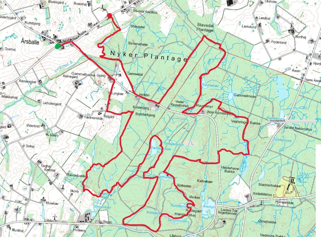
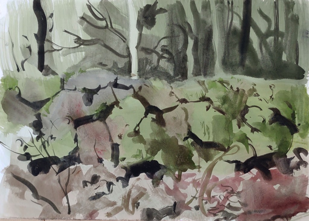
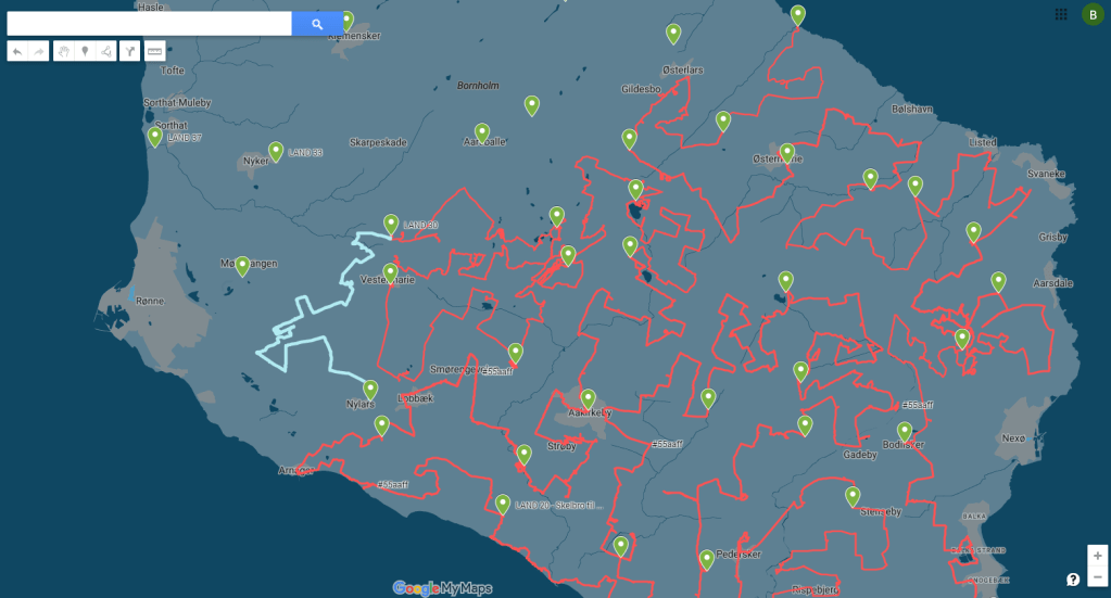
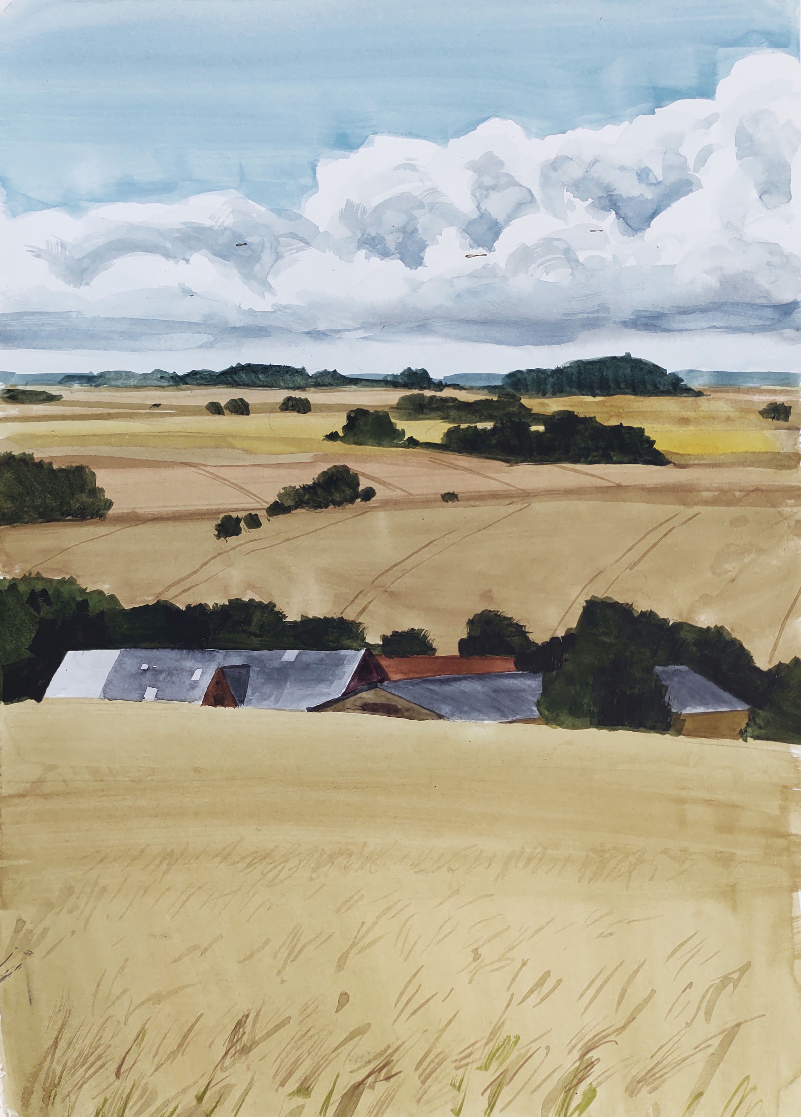
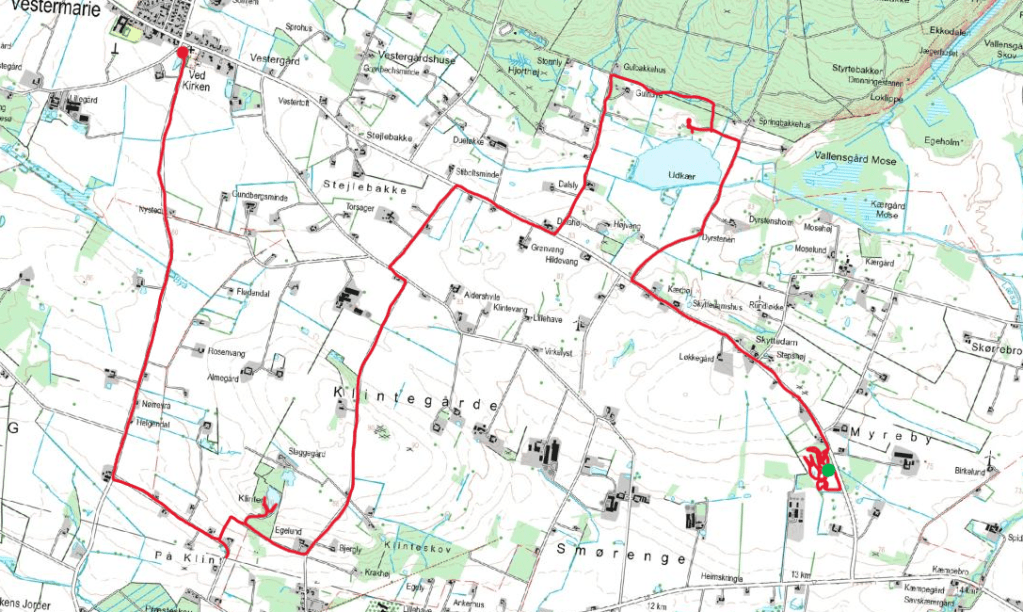
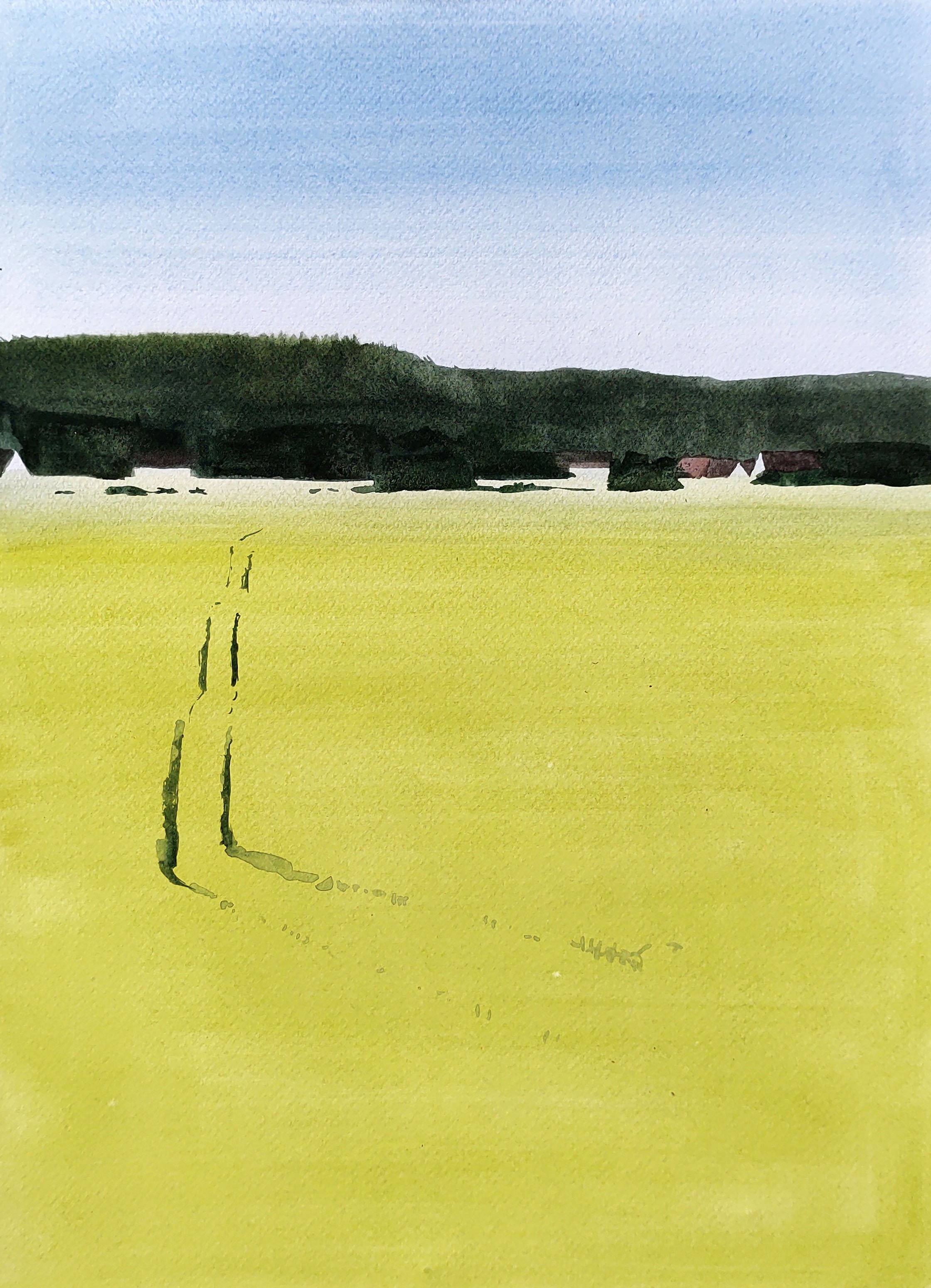
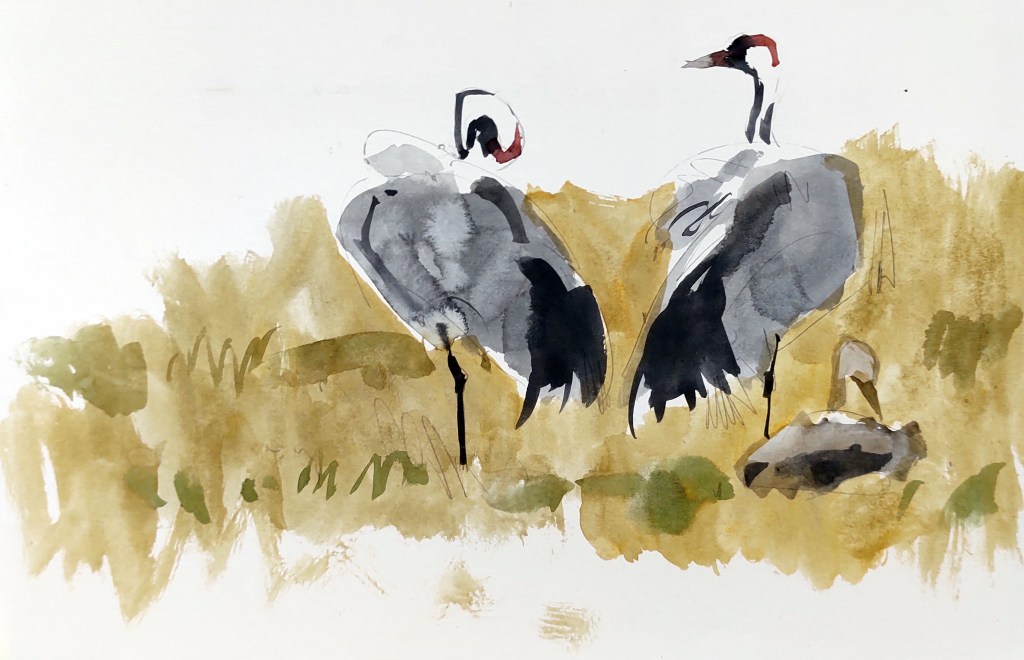
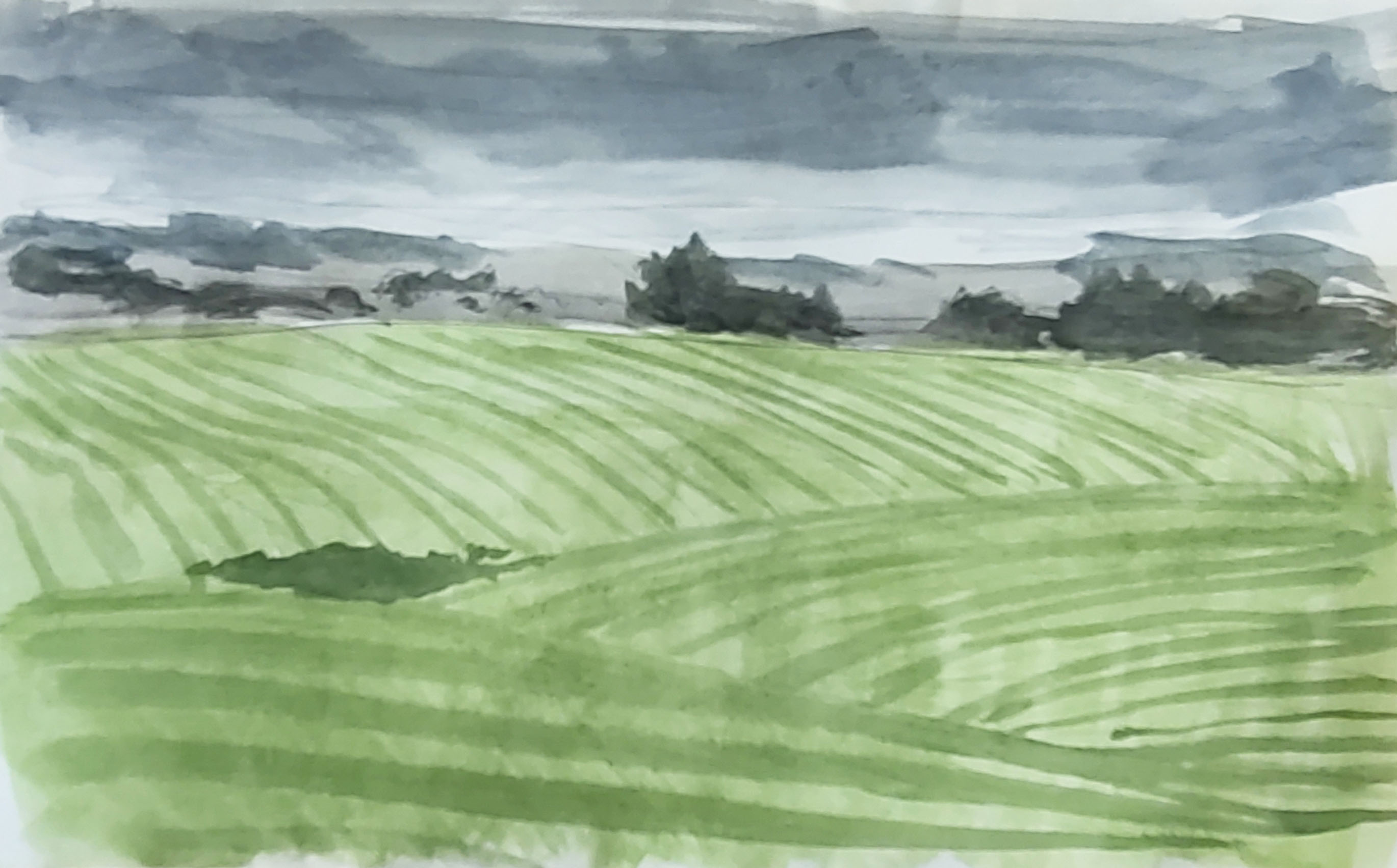
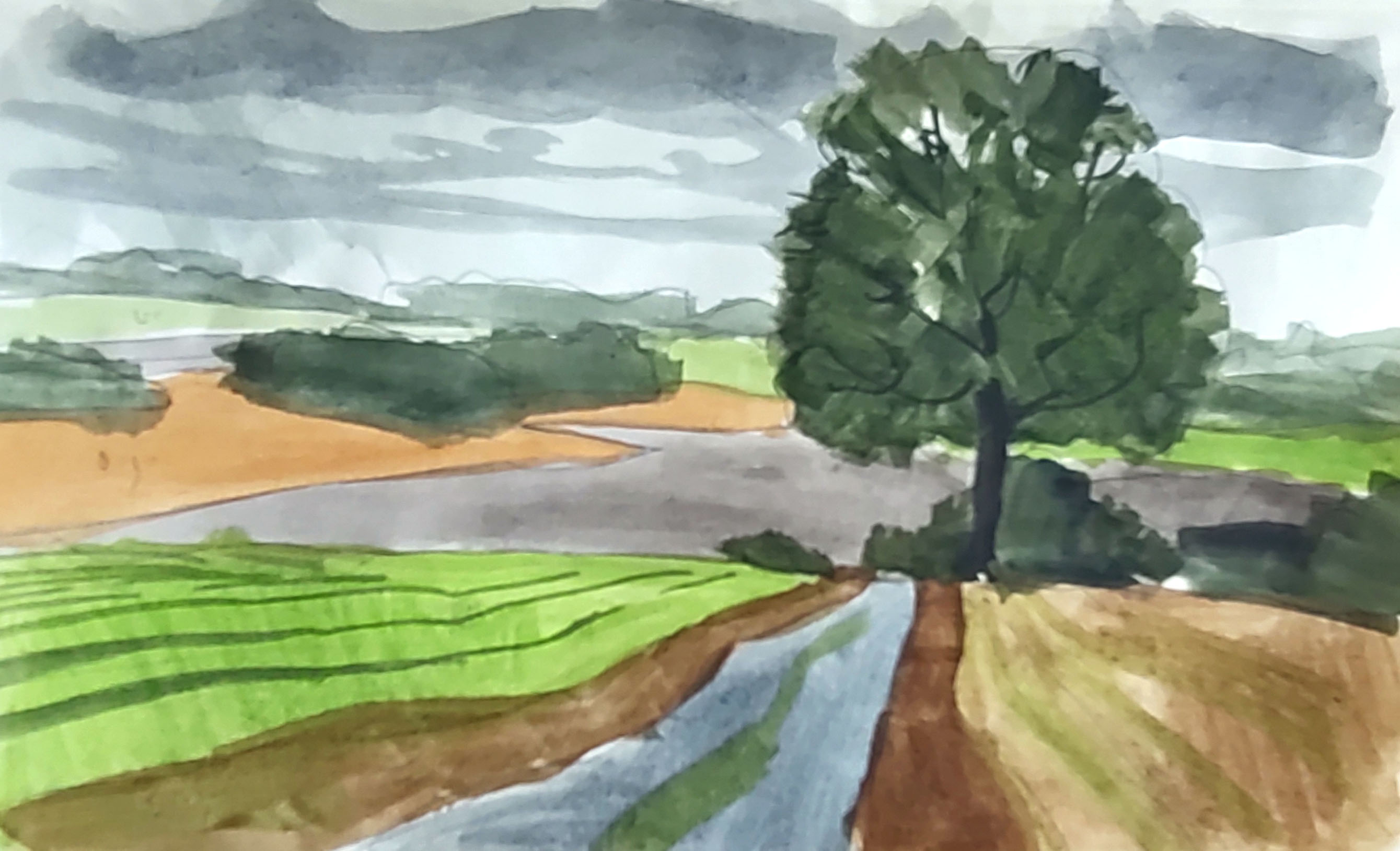
Eventually I left the wood and emerged into the cultivated landscape between Aarsballe and Klemensker. This is rural Bornholm: an area well off the tourist track that I had previously only driven through. As I crisscrossed the gently undulating fields, for the main part keeping to small roads and lanes, I was surprised at the amount of uncultivated land, small woodlands and ponds. The trumpeting of cranes, feeding in and flying over the fields, was to accompany me through the rest of the day.
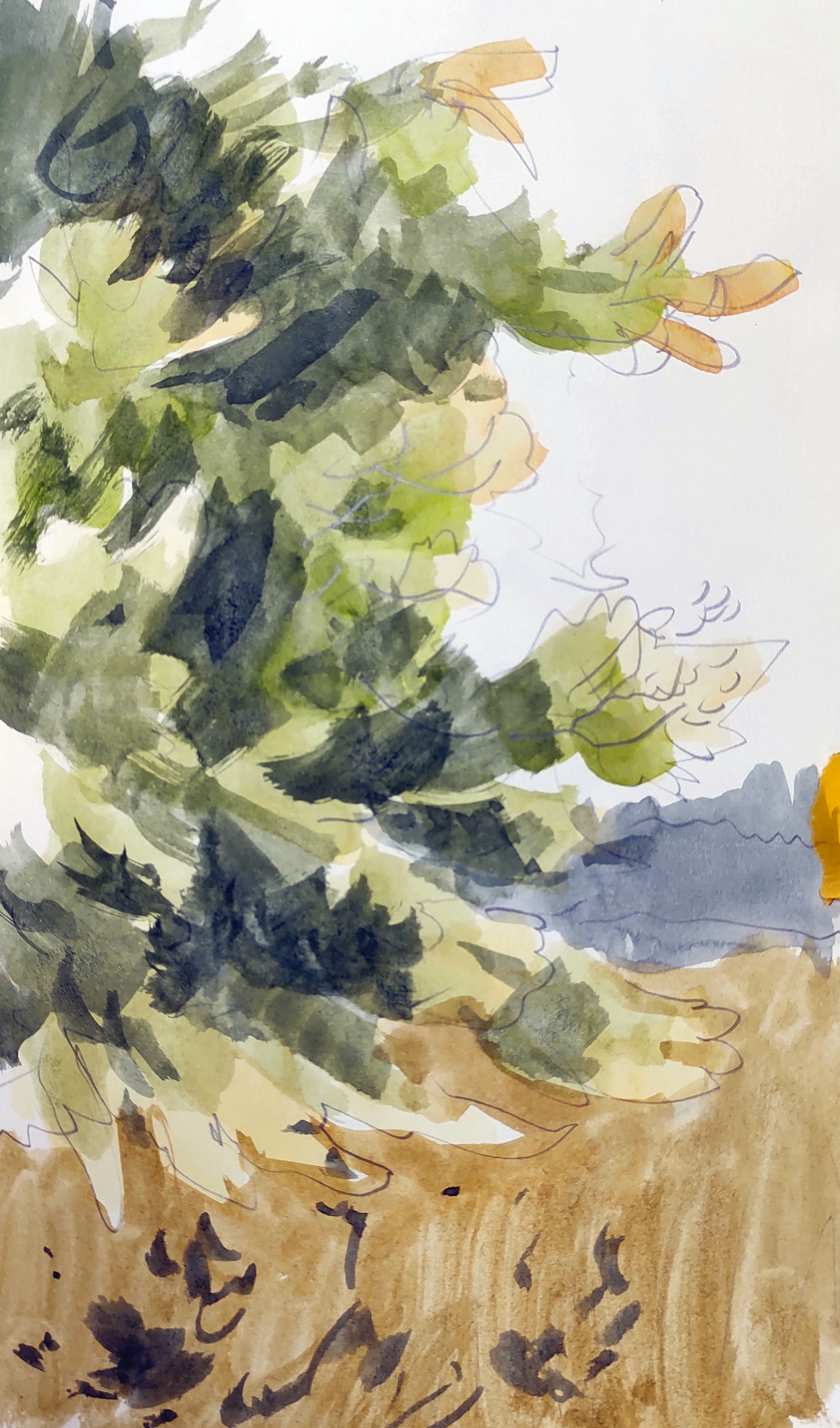
As the day cleared the wind picked up, and I watched a buzzard and a red kite sail and soar effortlessly over a small wood.
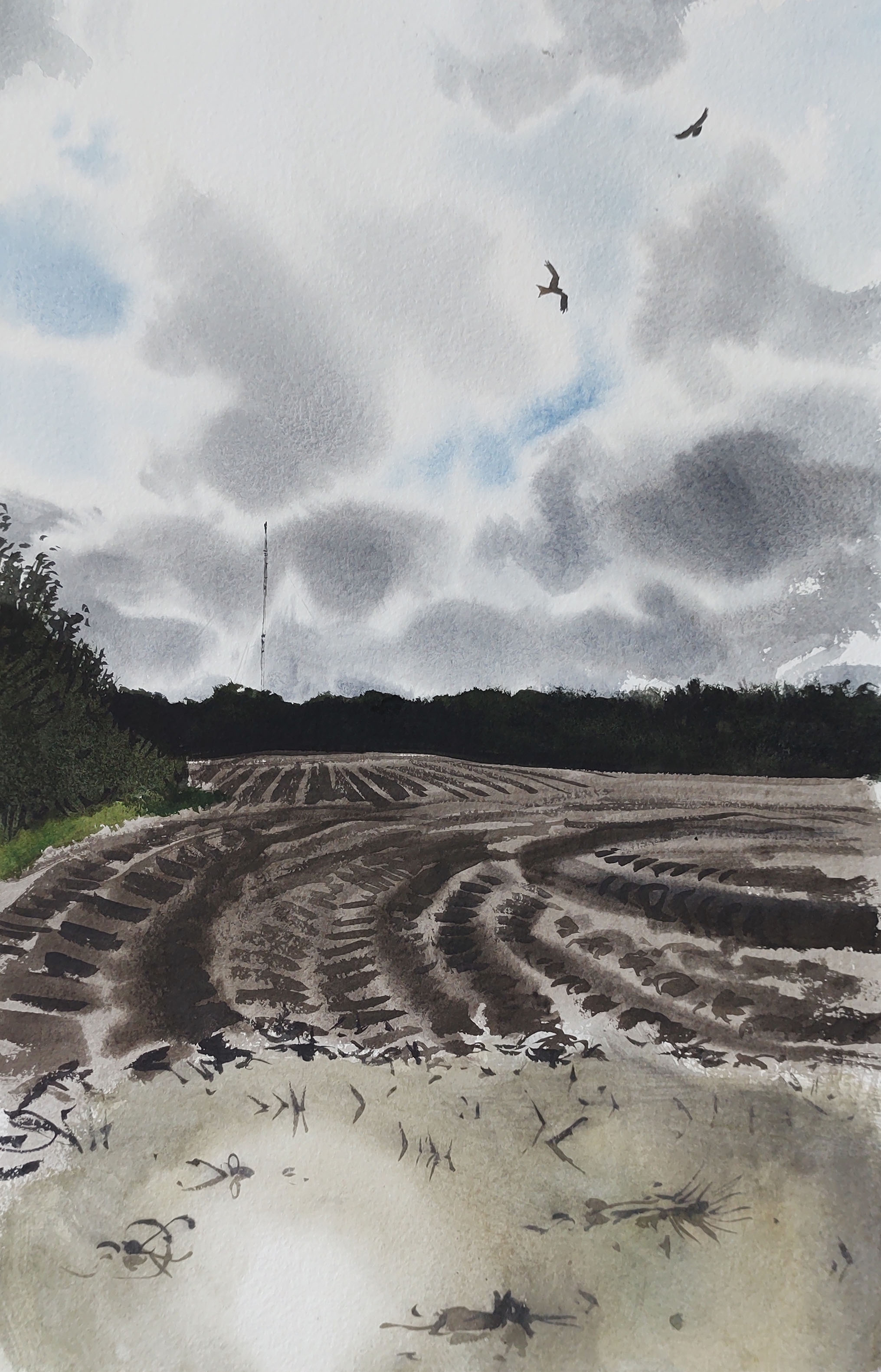
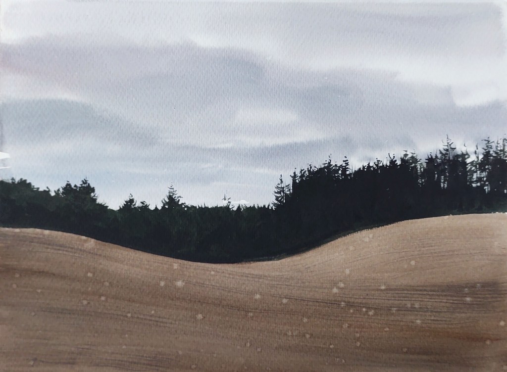
The rolling landscape was a complicated tapestry of colour and pattern. Many fields had been recently cut for silage, leaving bright milky-green stripes. Others still contained browning maize, while some were bright orange after being treated with some sort of chemical. The rain, clouds, and sun came and went.
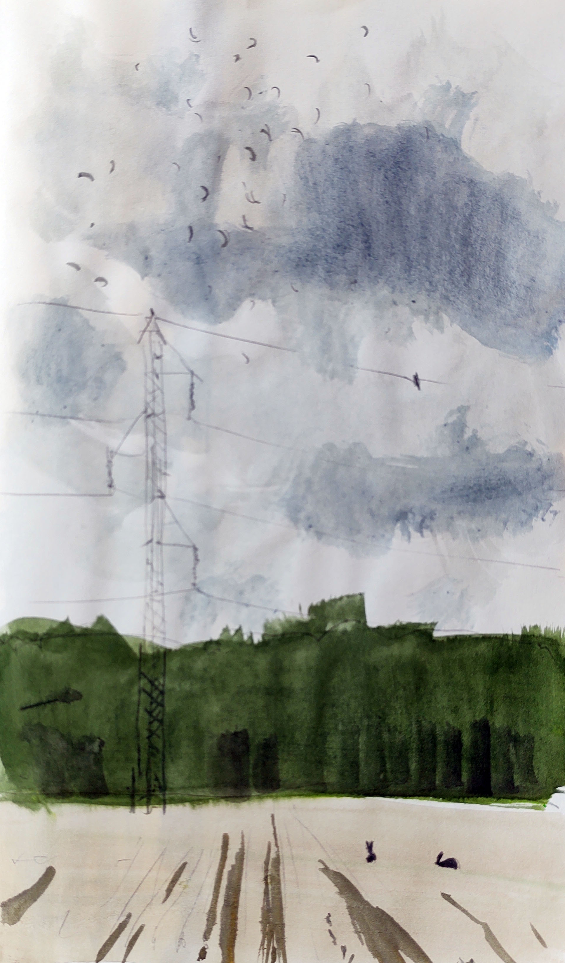
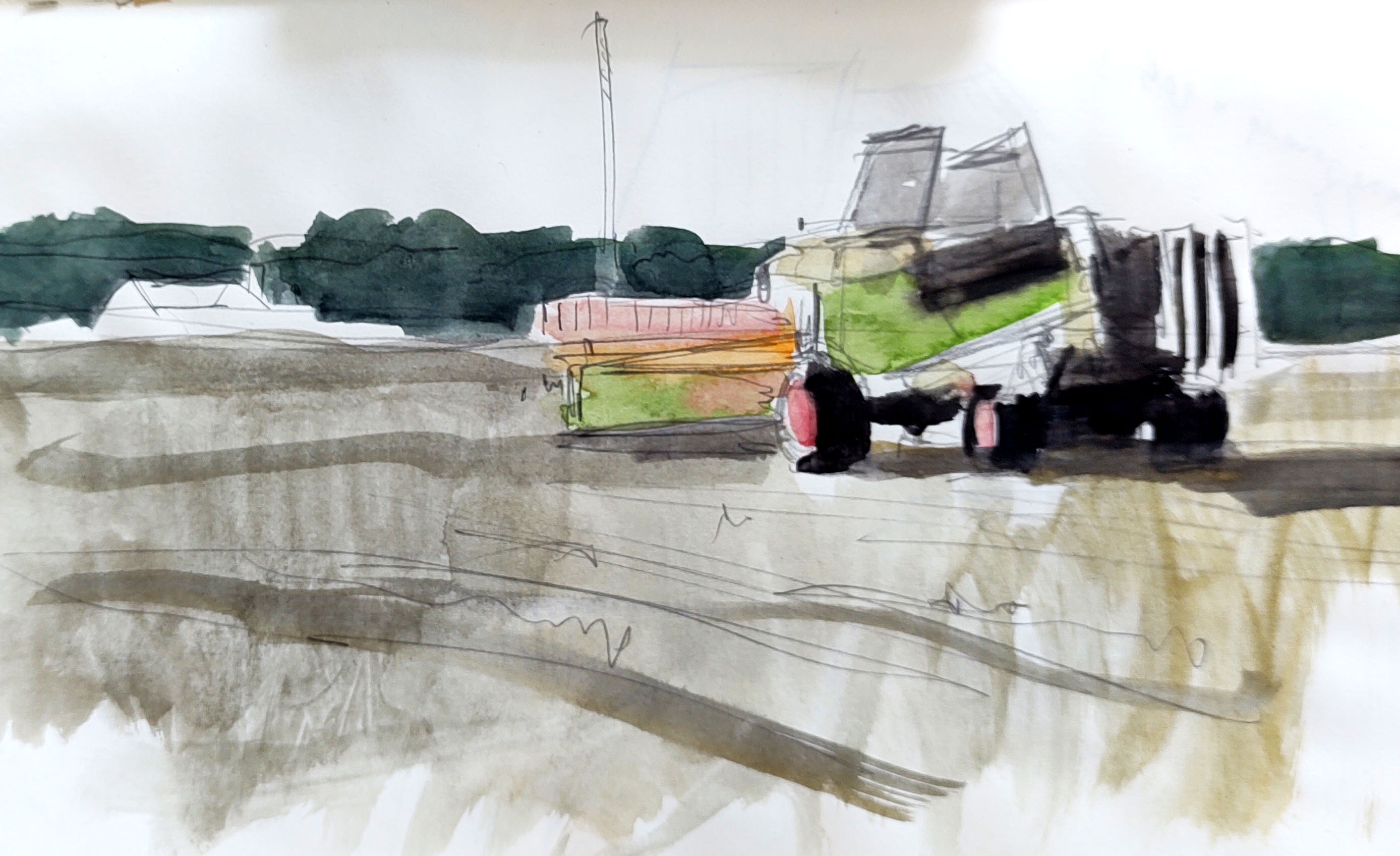
For a while I had to walk along the main road again, enduring the constant stream of traffic and buffeting wind. I turned off gratefully and resumed my crisscrossing – for a while accompanied by two friends who have been following the trip.
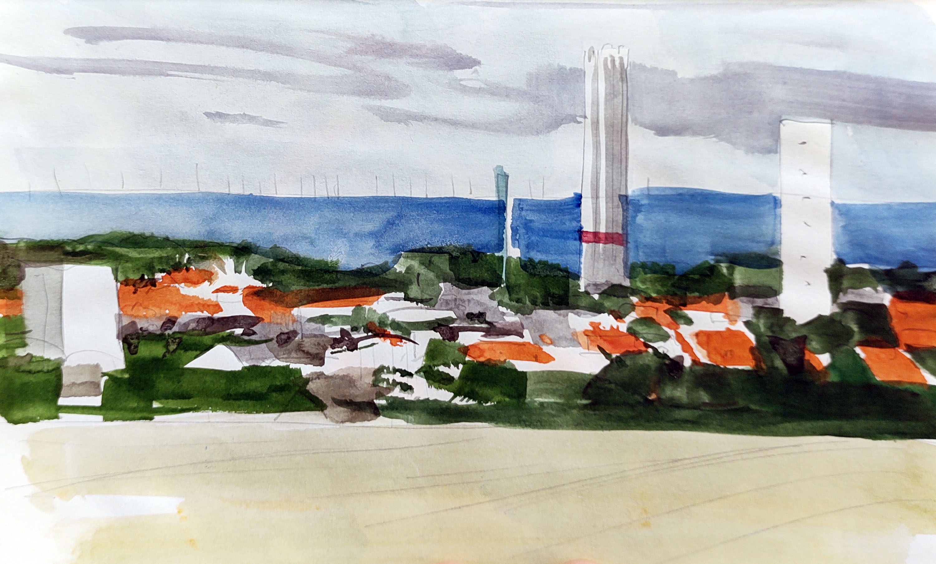
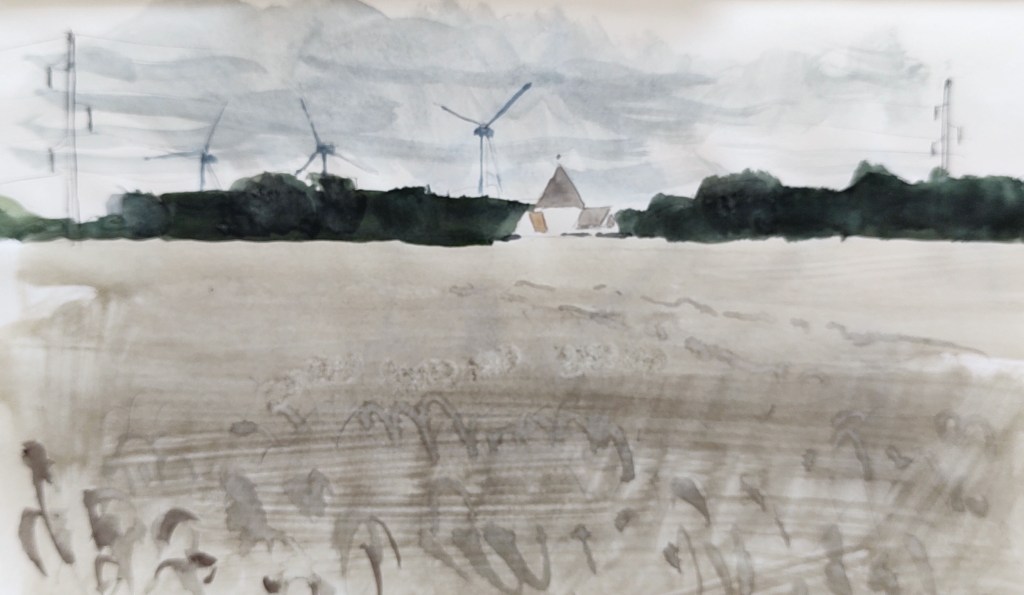
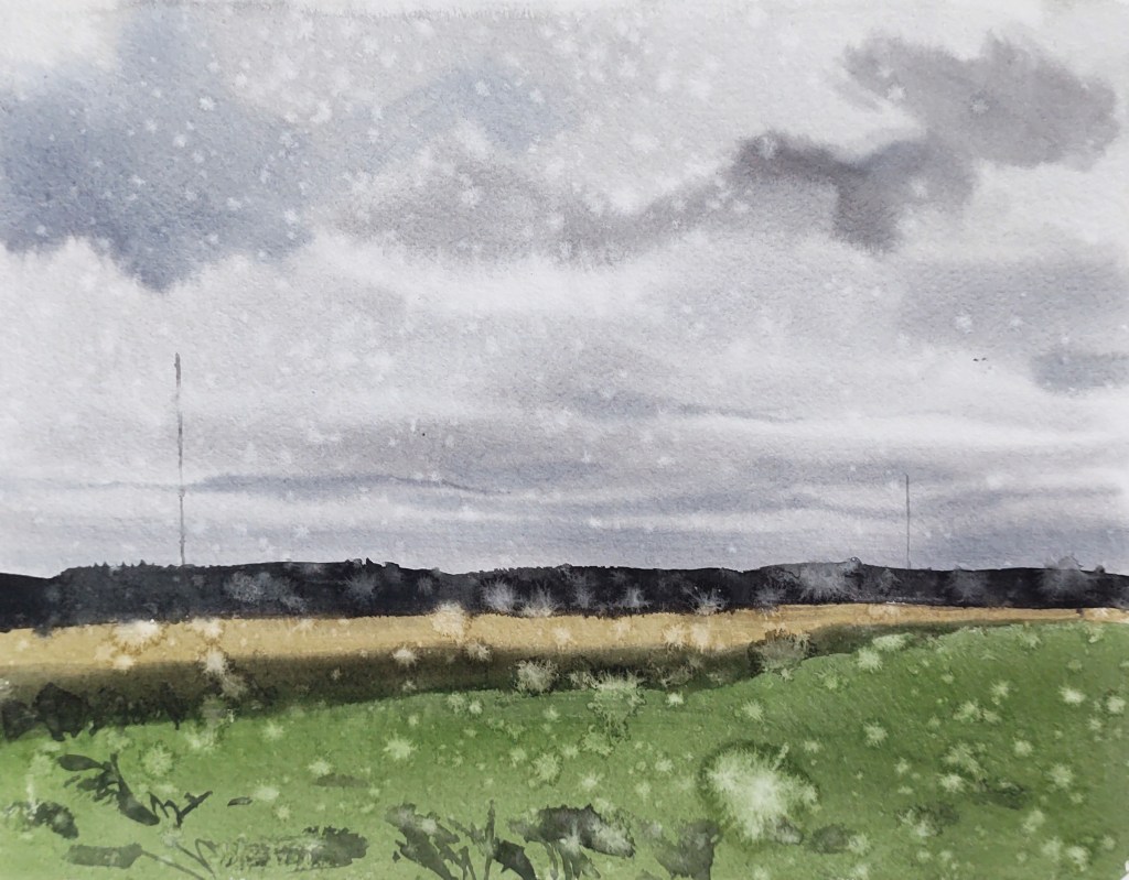
To the south now, the two masts were a constant presence glowering over the landscape.
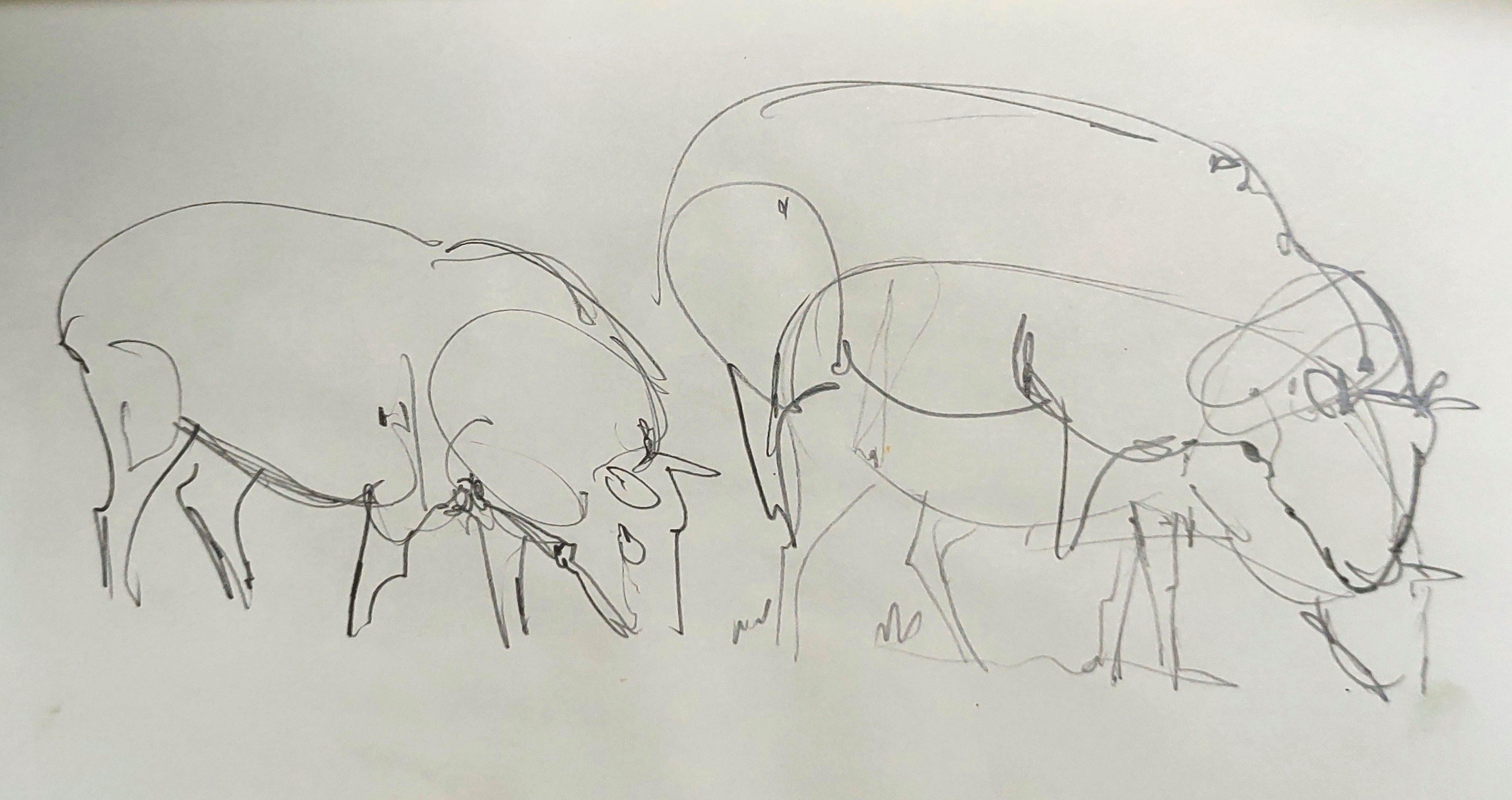
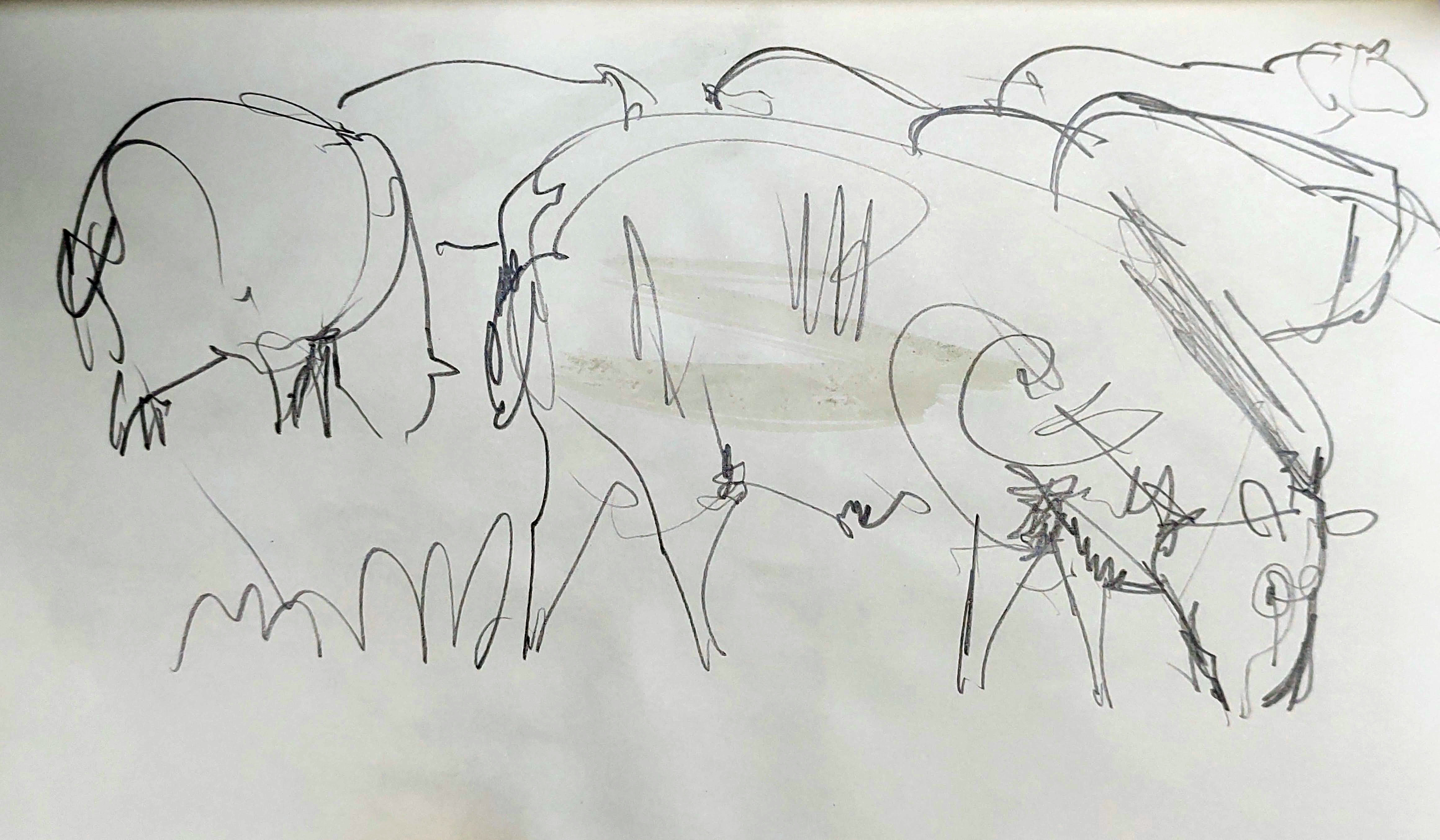
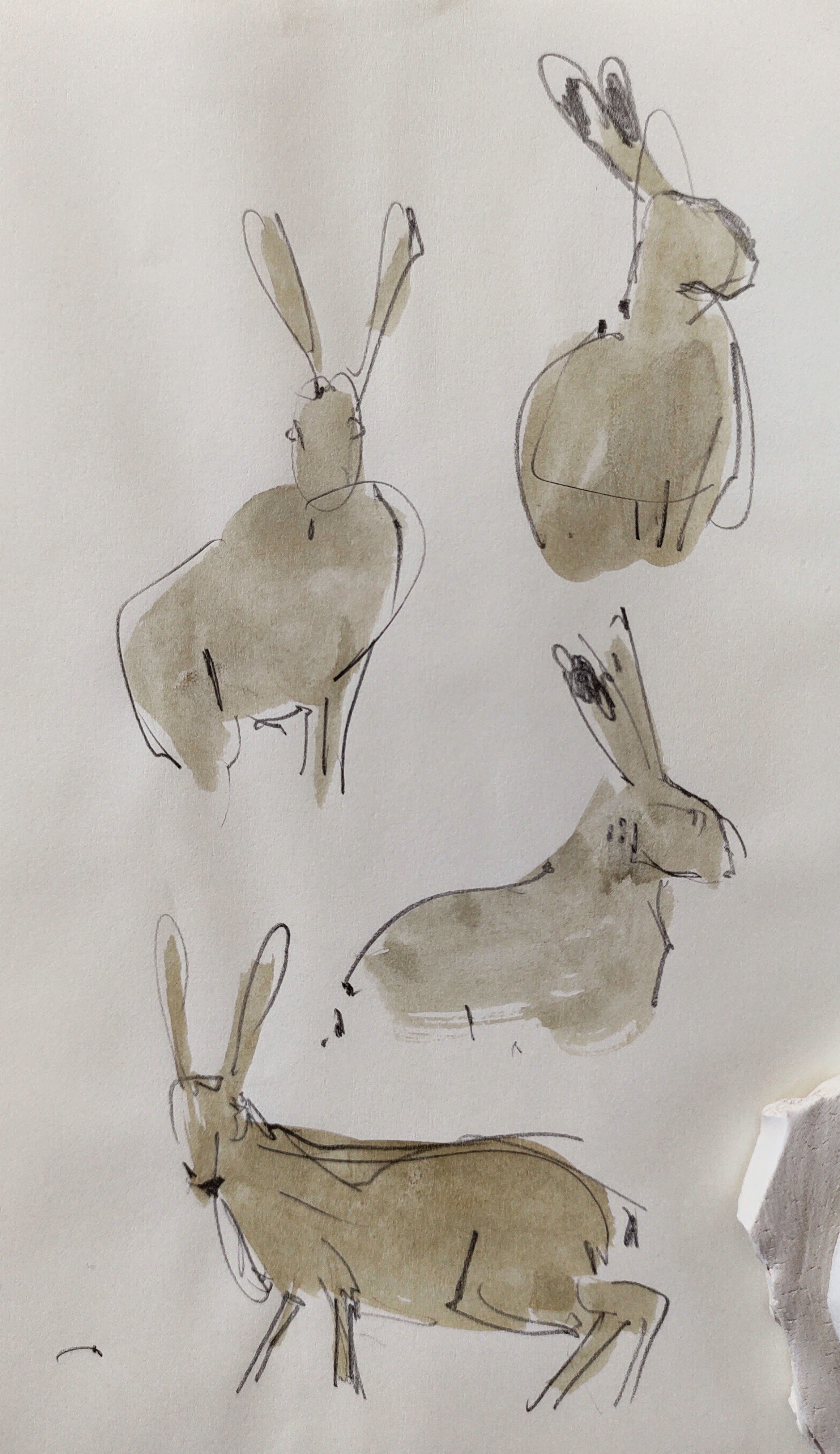
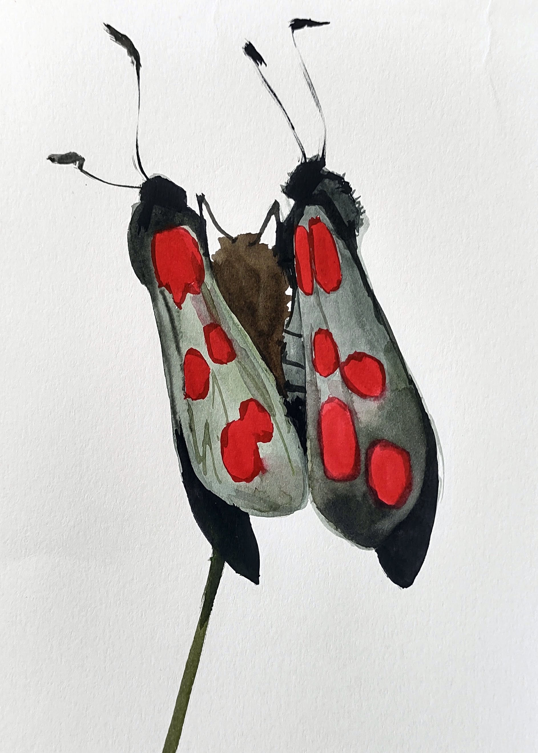
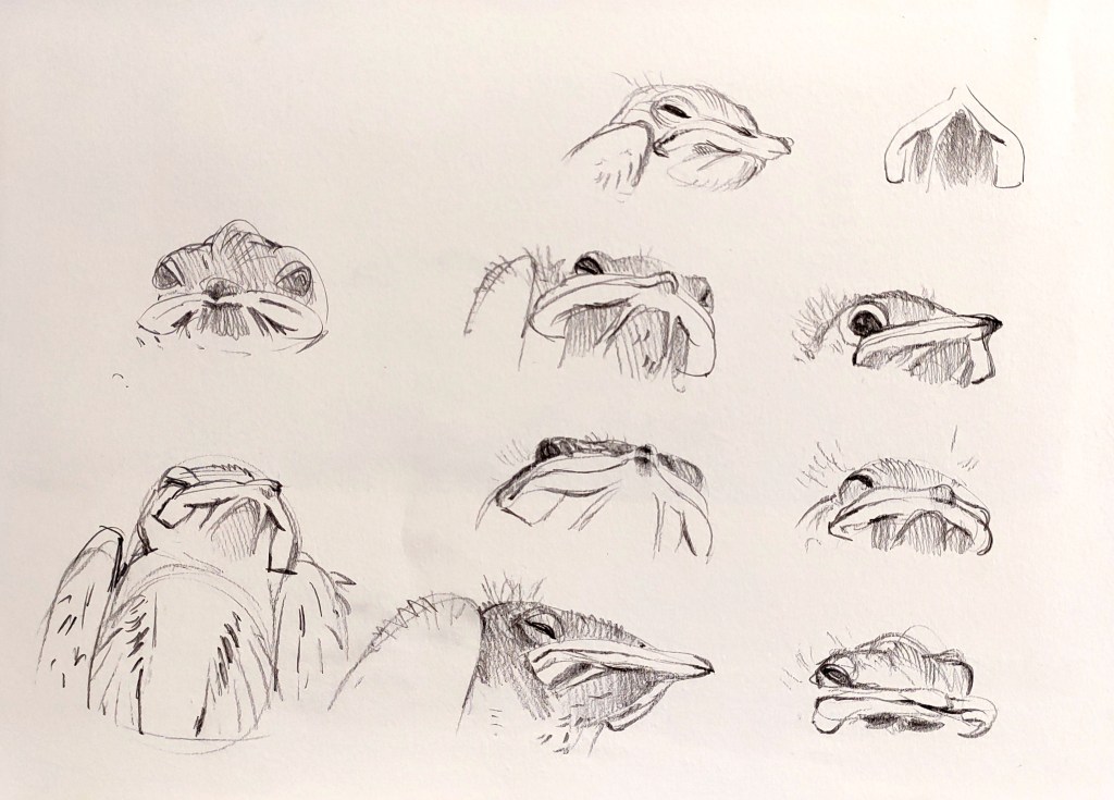
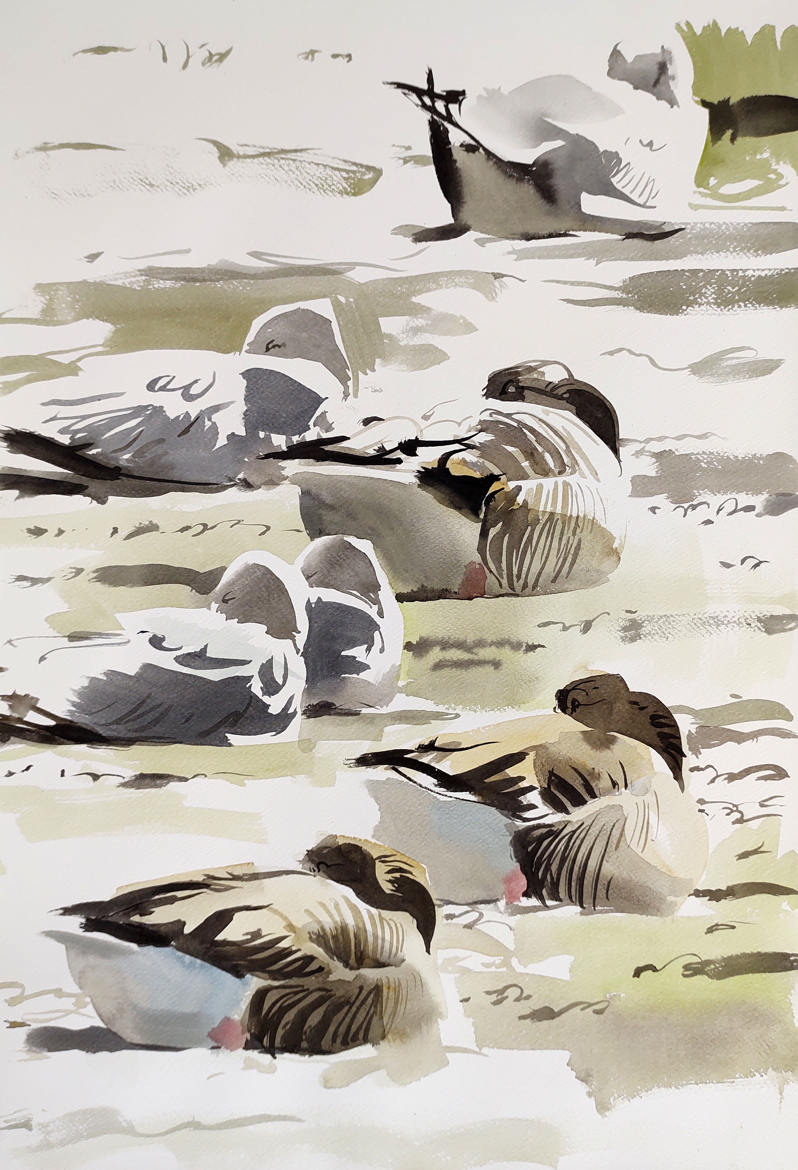
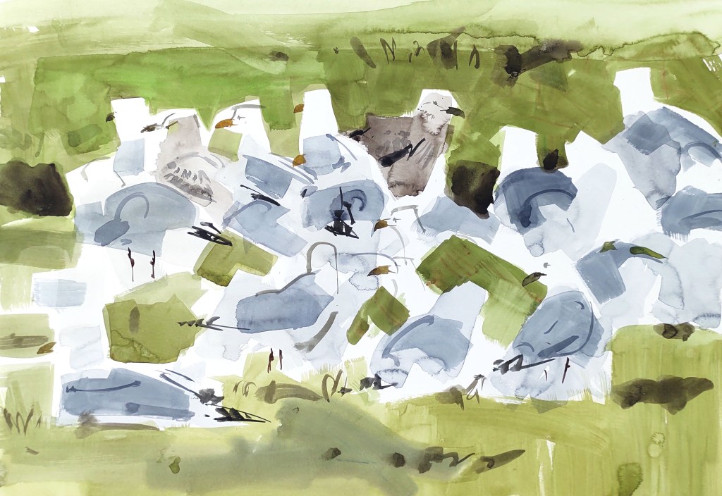
Groups of gulls gathered in fields. I had my telescope with me and tried to capture their impossibly clean plumage, but the changing light and their skittish movement was challenging.
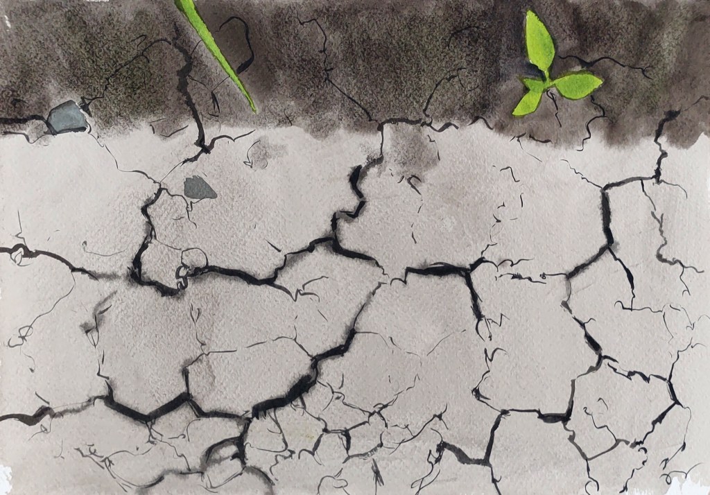
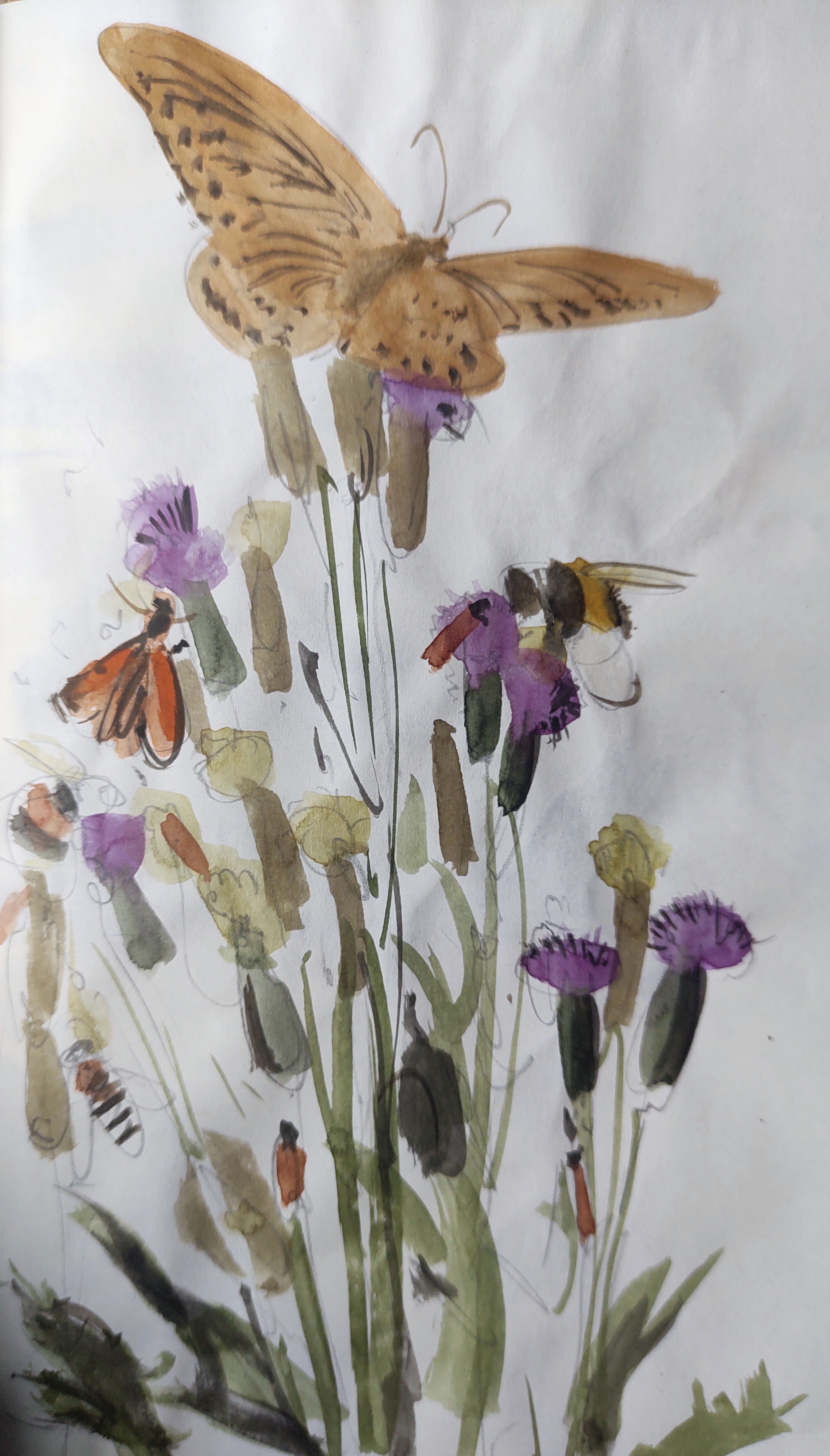
I made a specific pilgrimage to small hillside, one of only two places in Denmark where Mountain hog’s fennel (Peucedanum oreoselinum) can be found (see here for the full story). The path or road marked on the map to the hill was no longer extant, and the flowers themselves were nowhere to be found – perhaps I was too late.
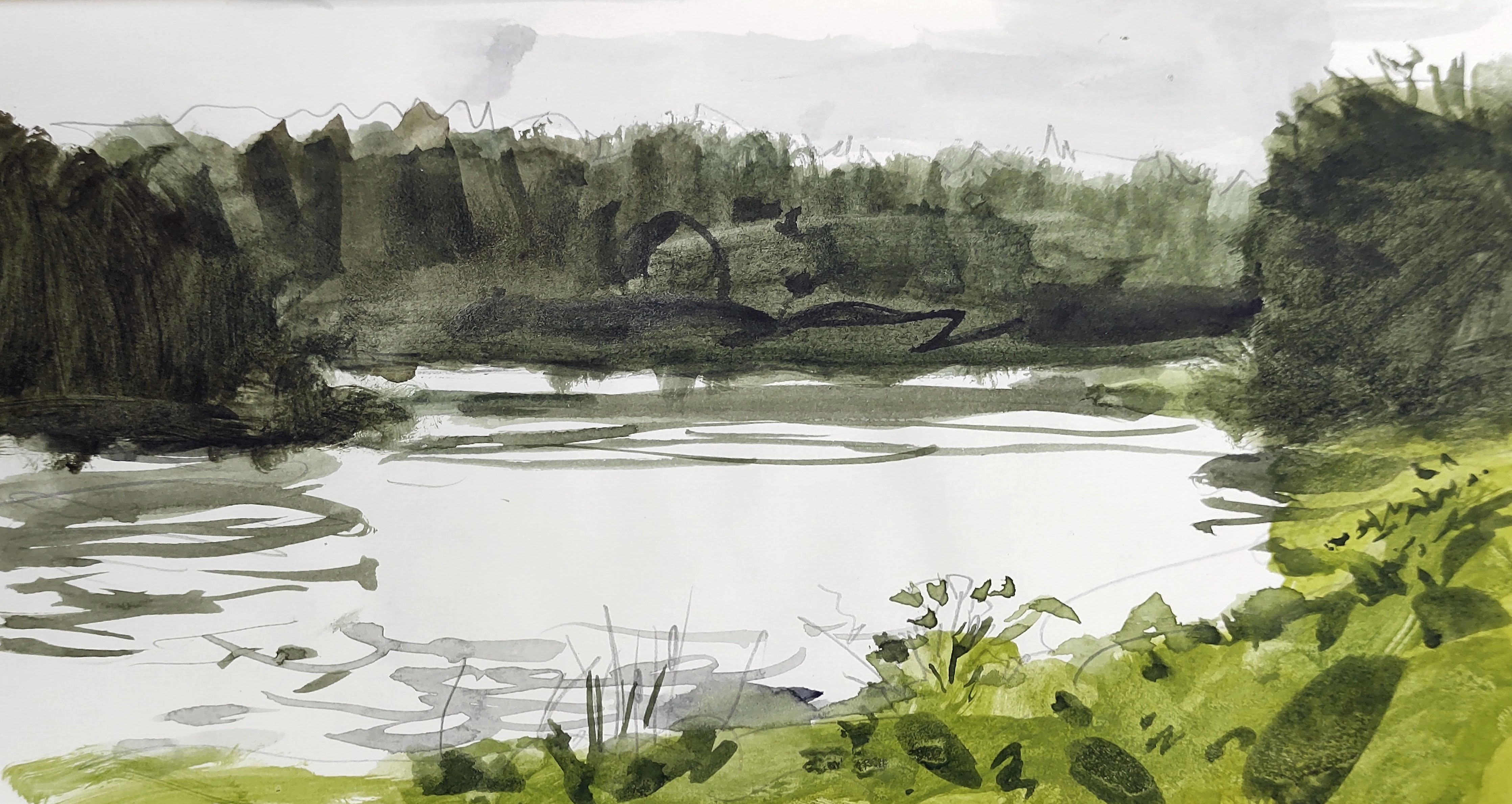
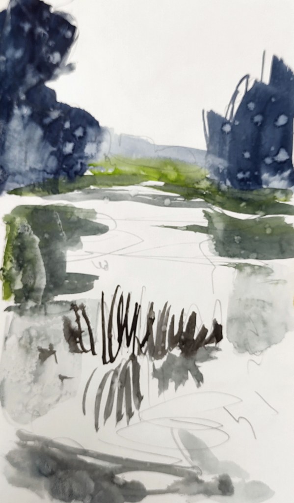
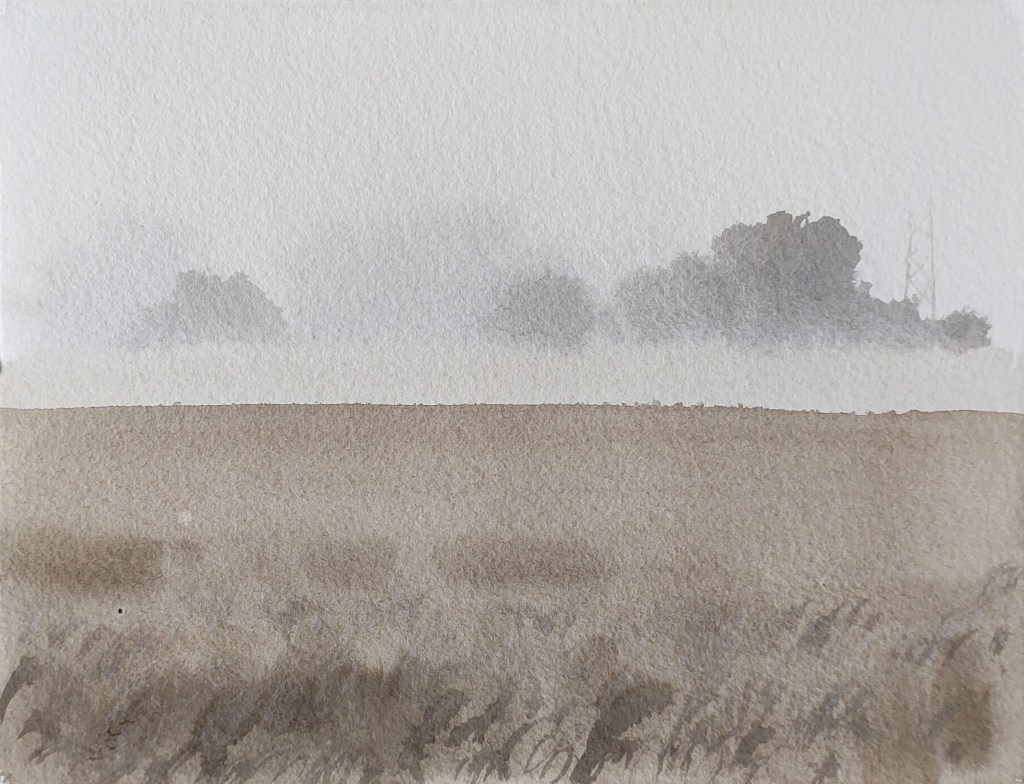
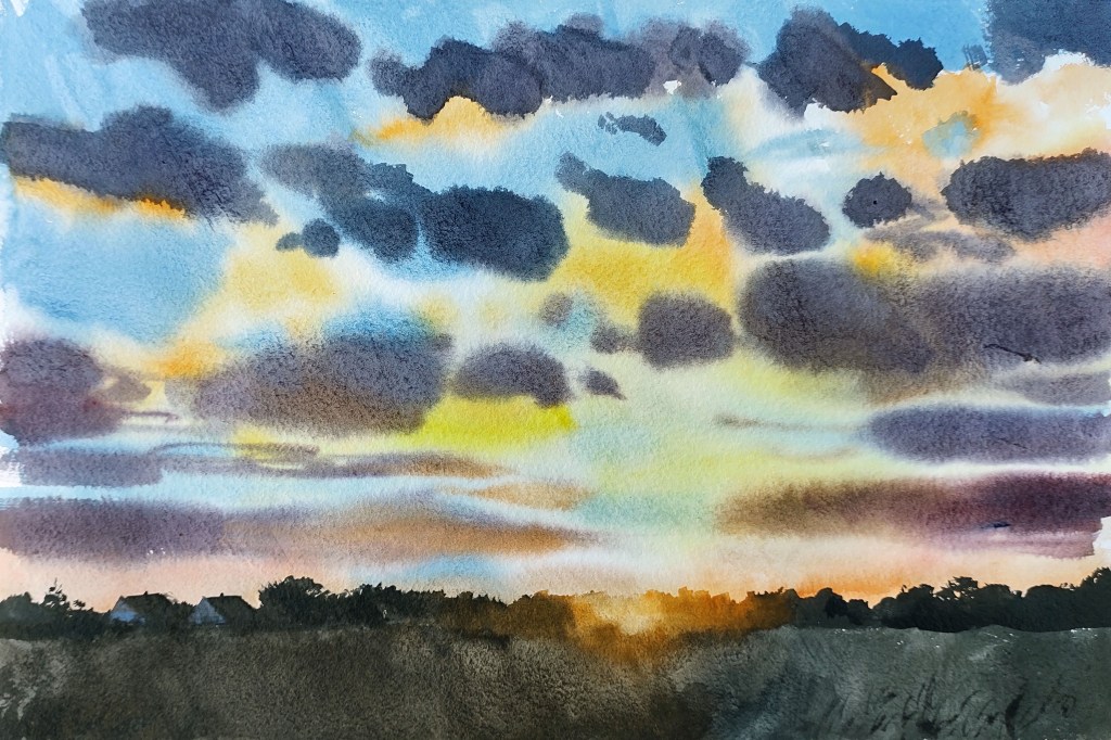
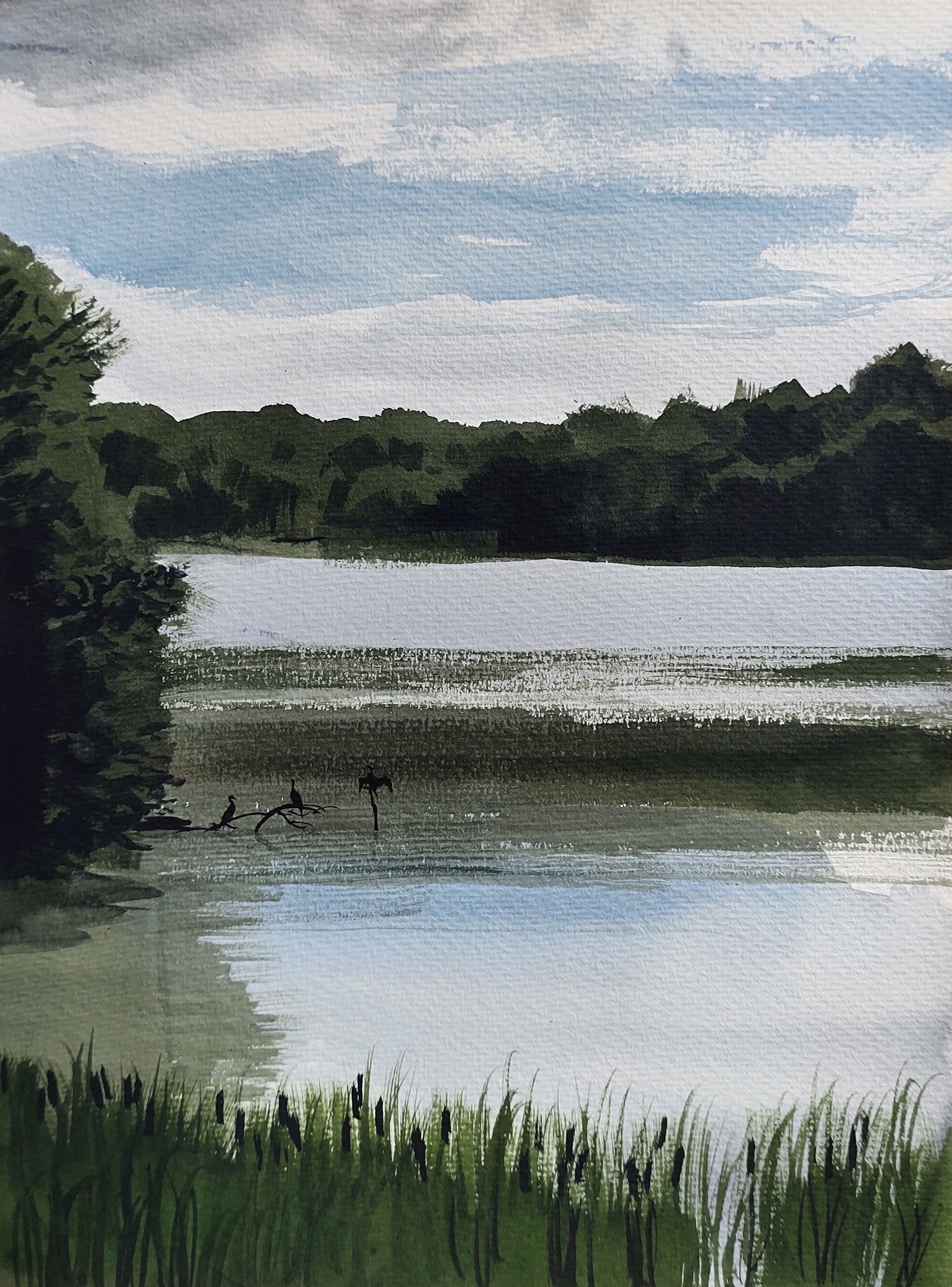
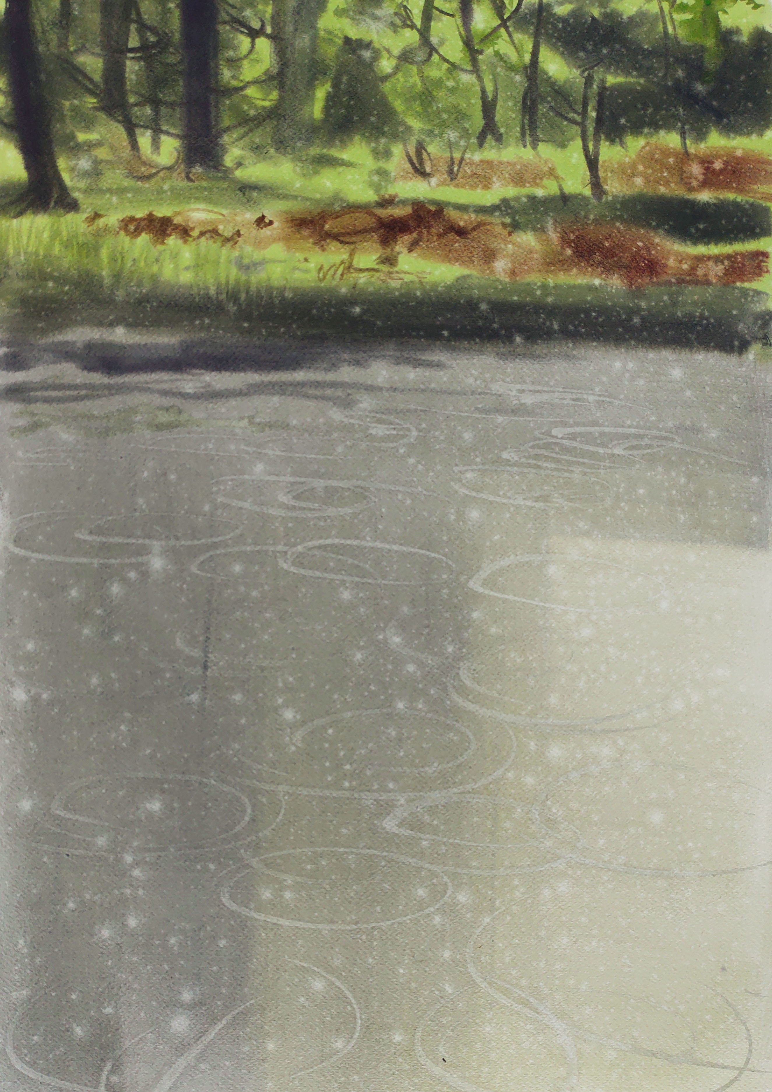
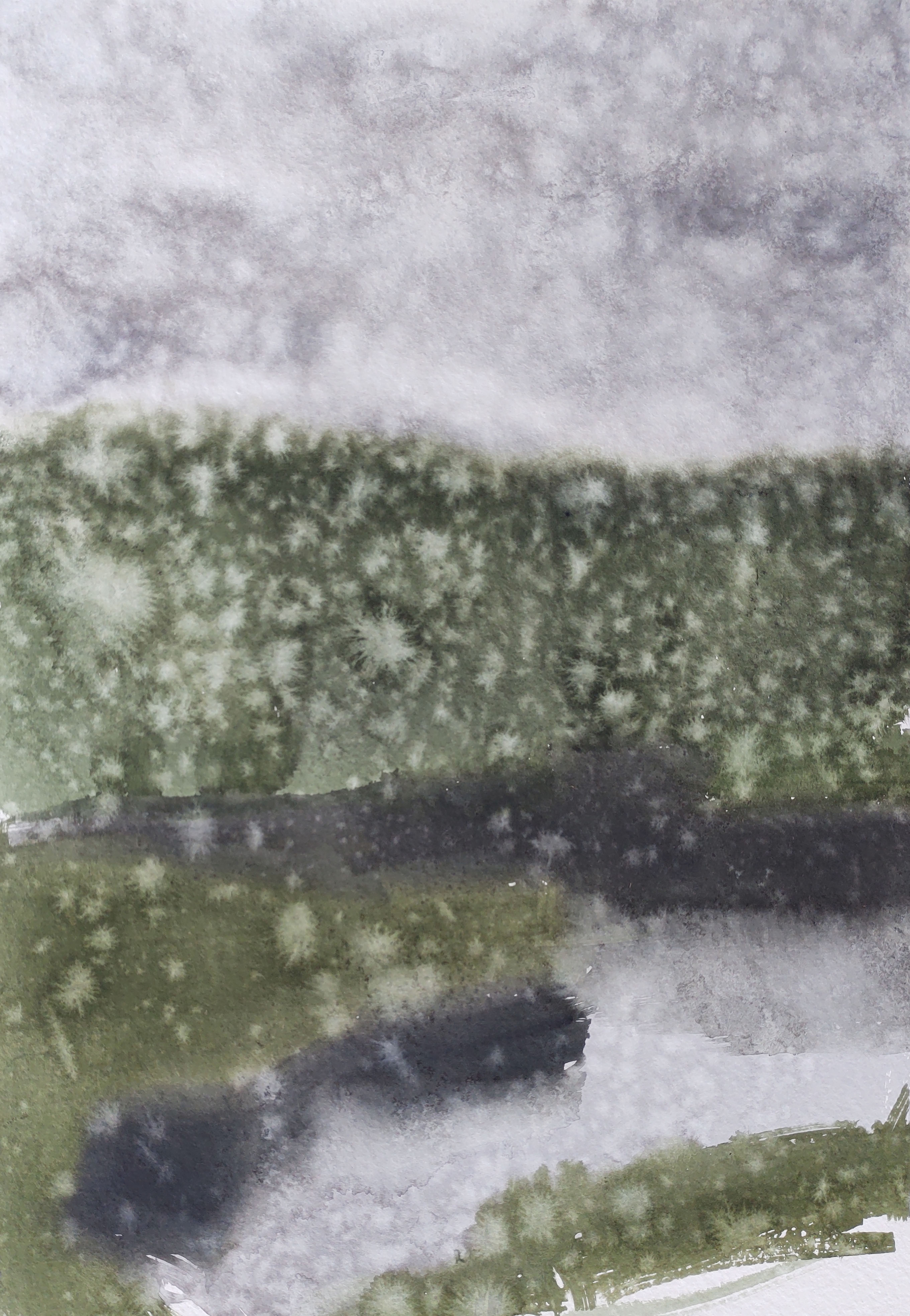
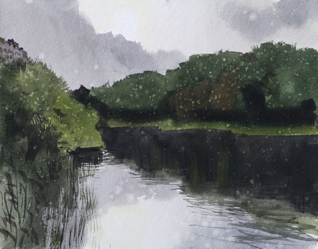
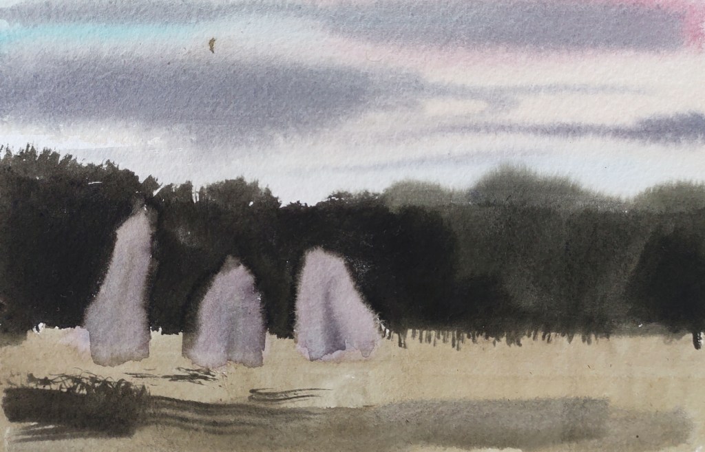
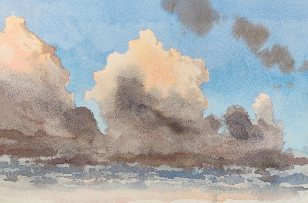
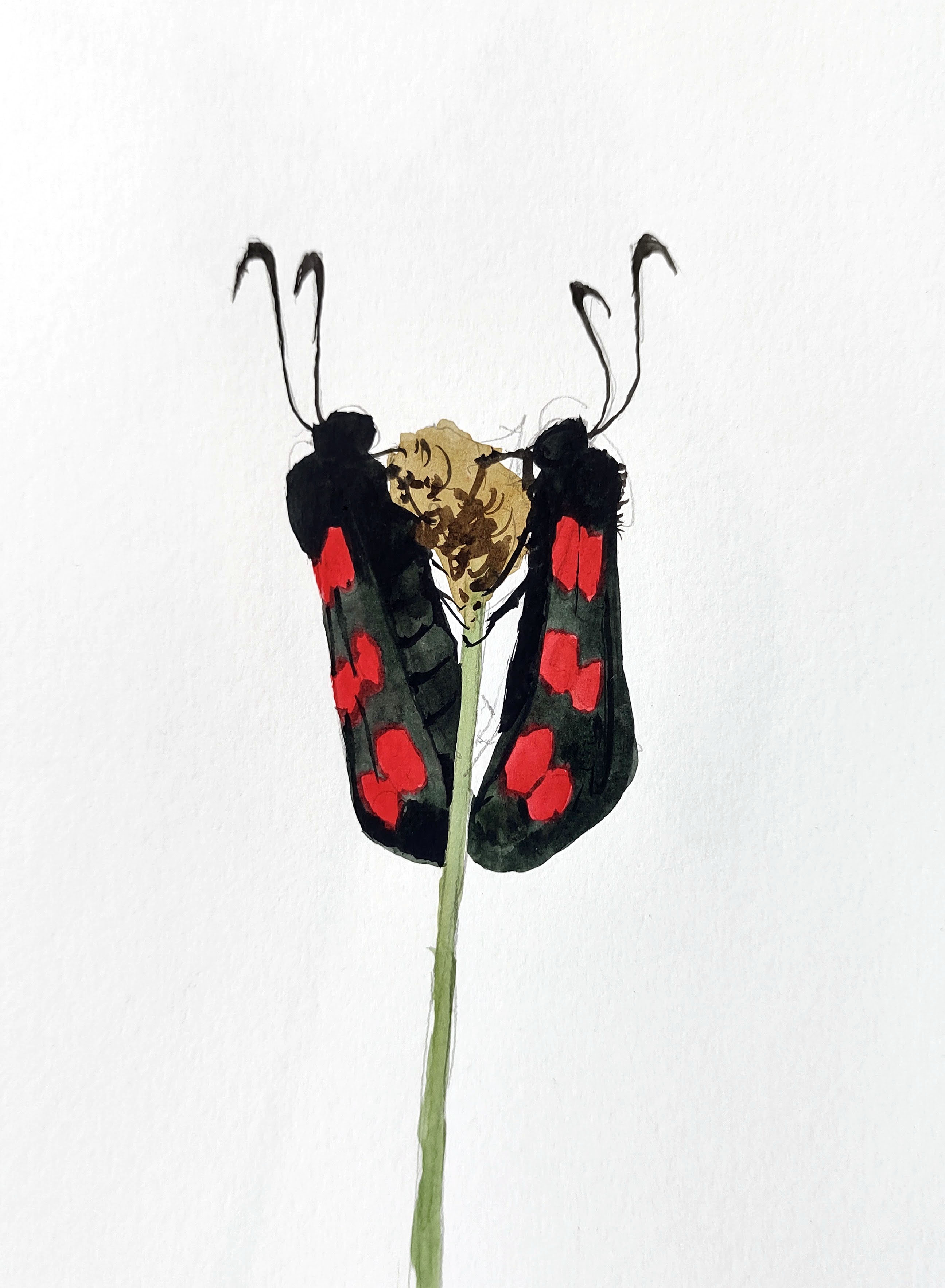
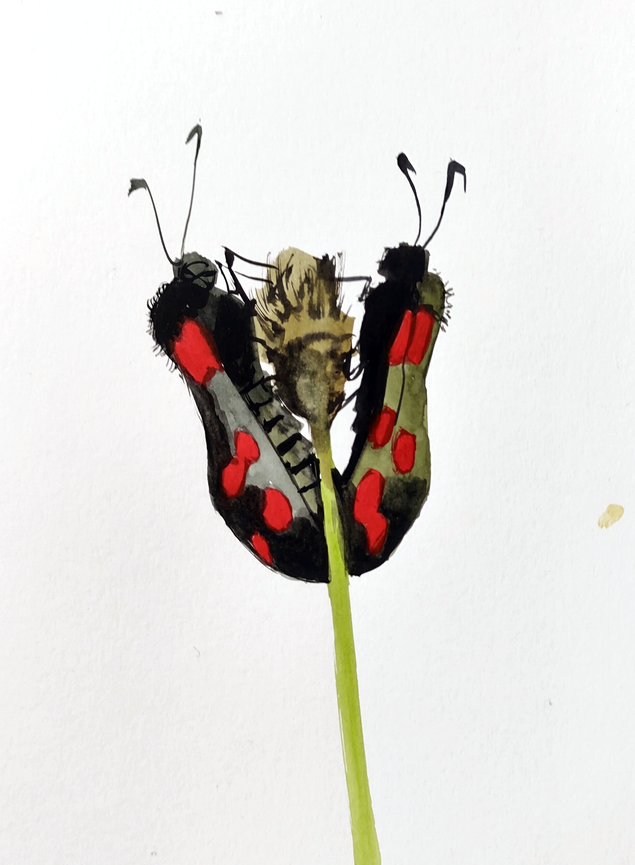
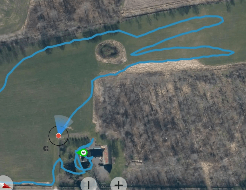
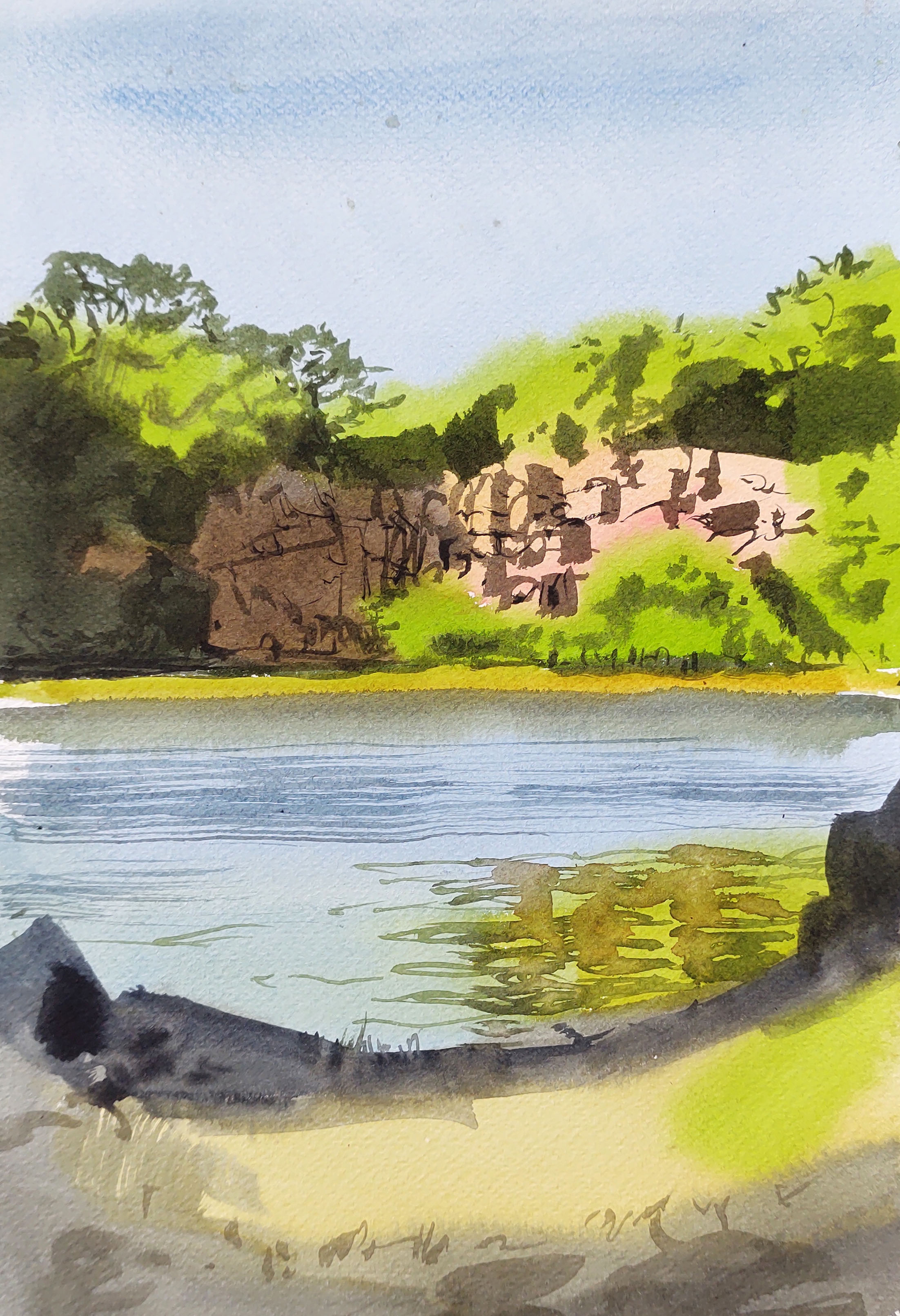
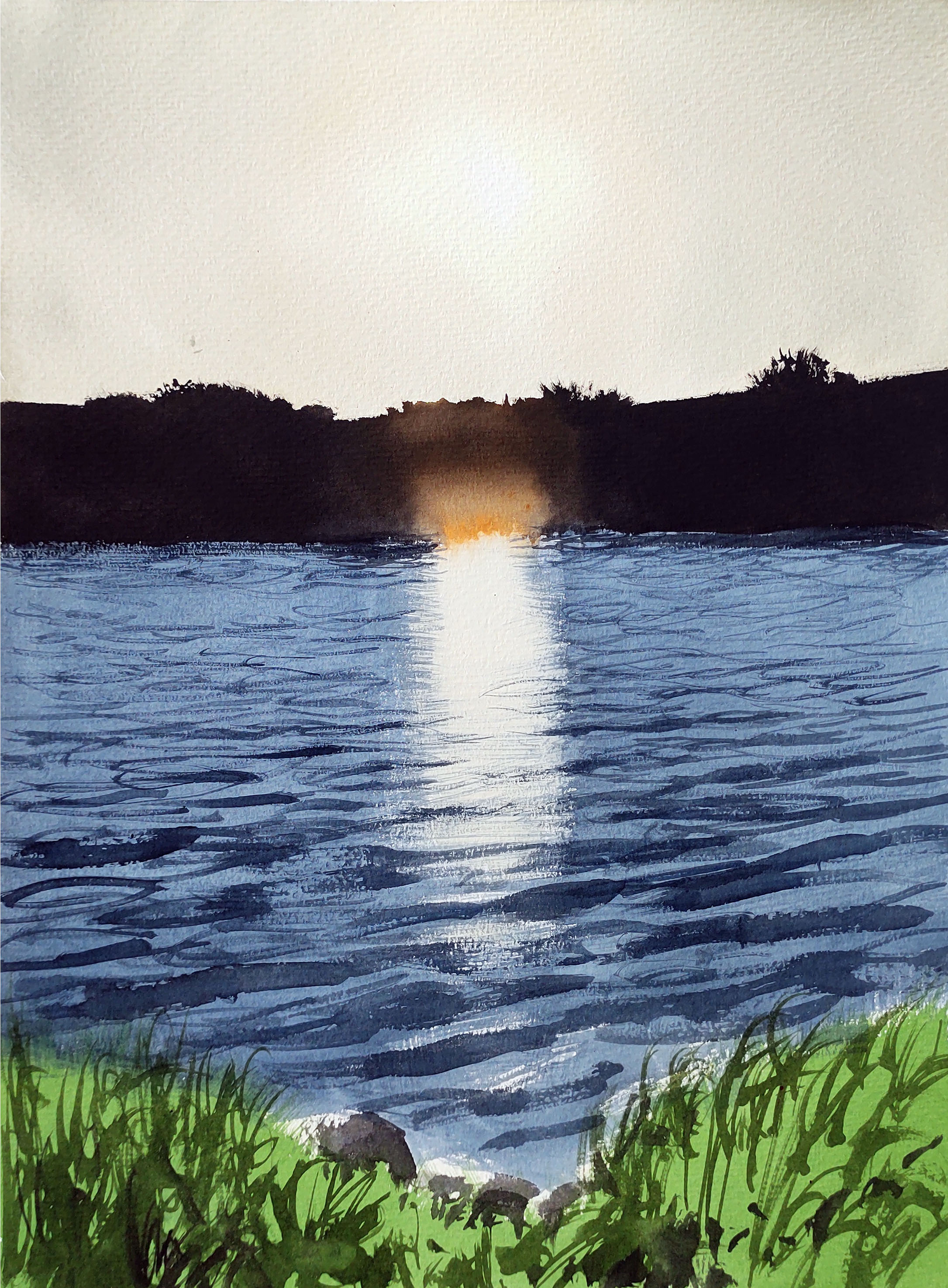
Time was running out, the shorter days are really becoming noticeable now. I walked along the old railway track connecting the village of Klemensker with Rønne and Allinge, now a cycle track. Here, looking across the waters of Dammemose, I painted the setting sun.
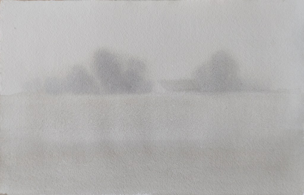
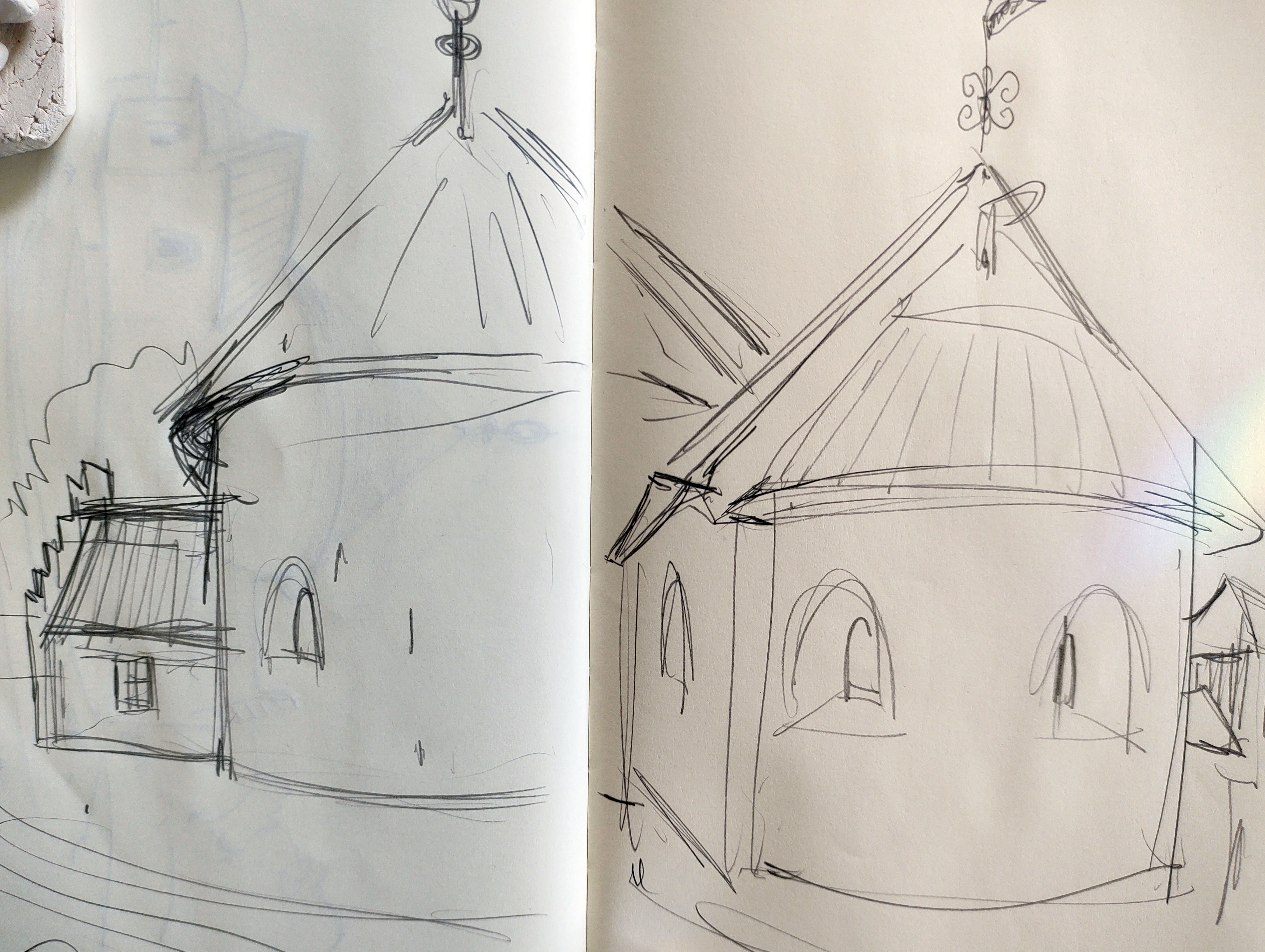
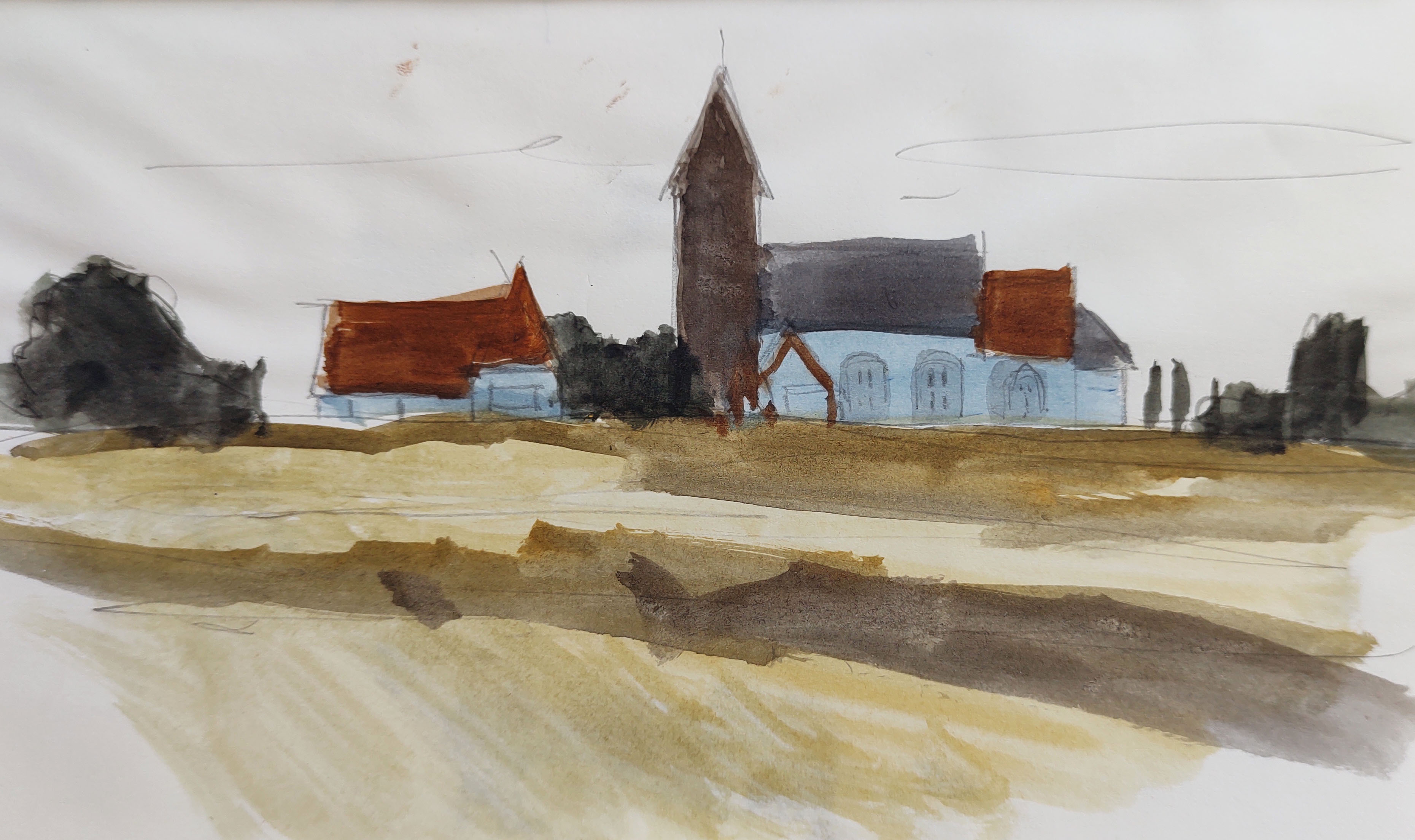
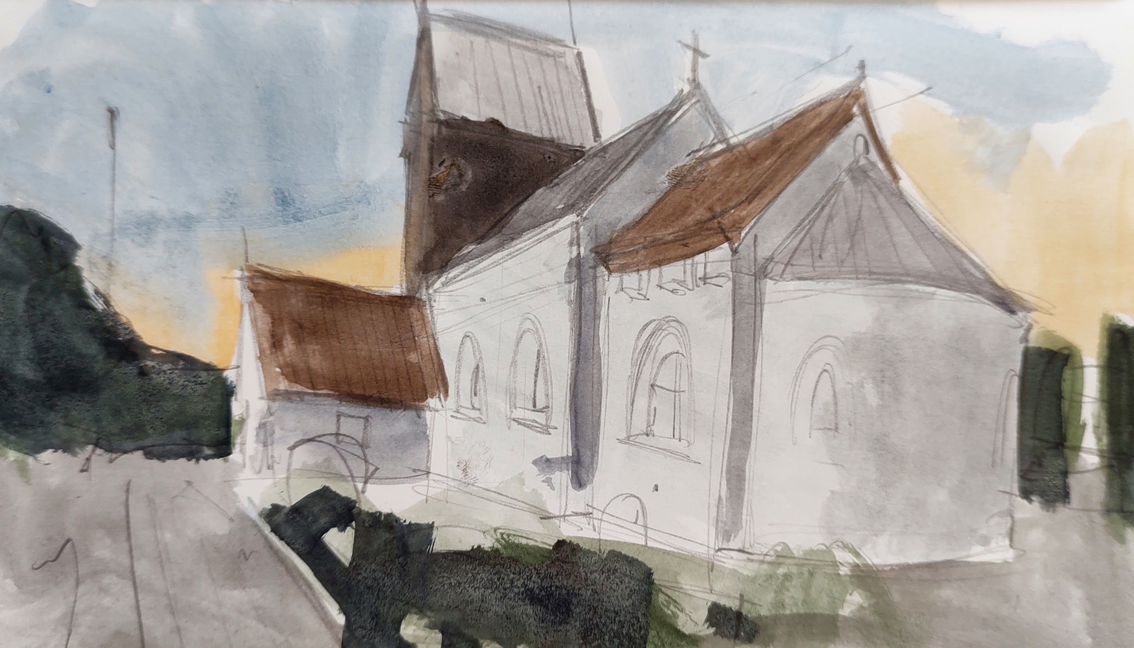
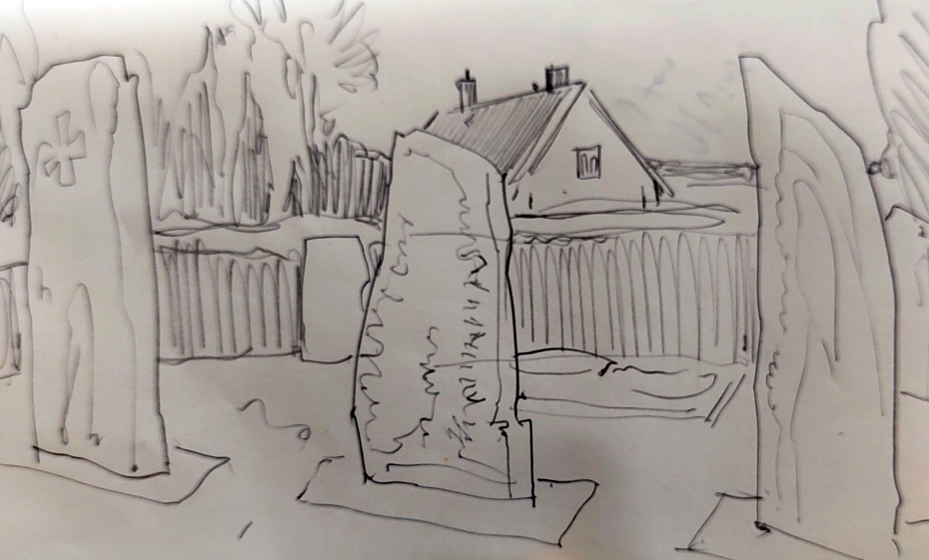
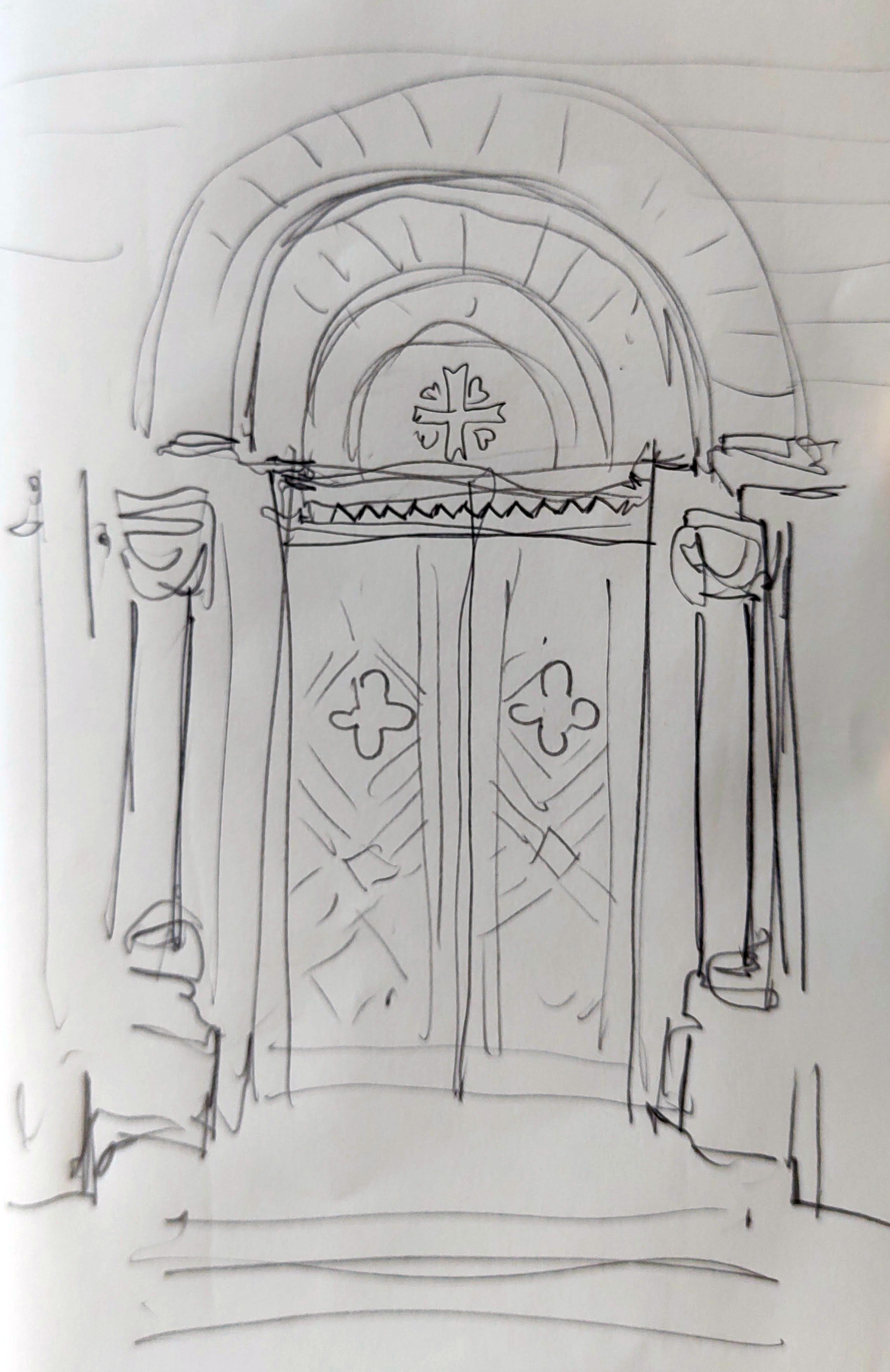
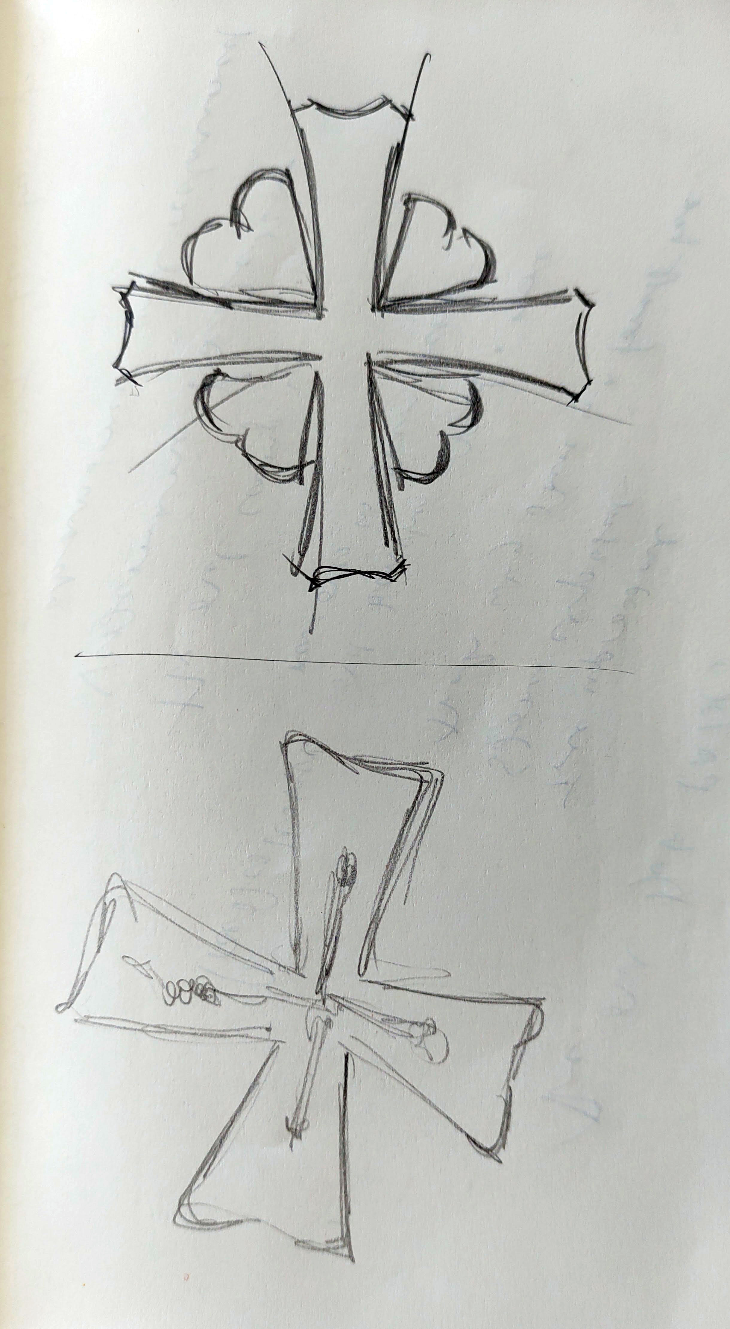
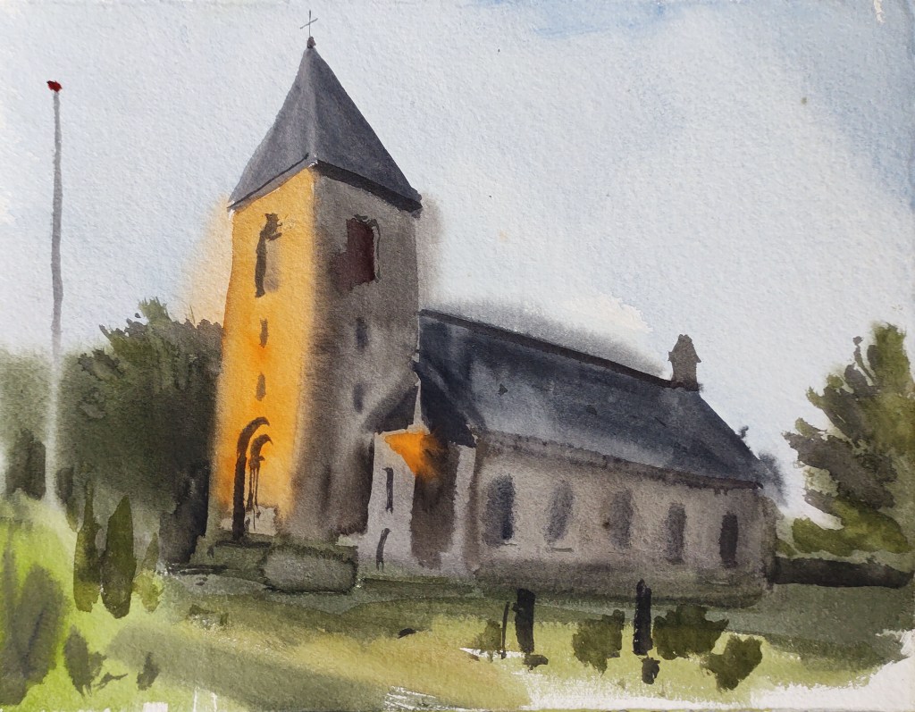
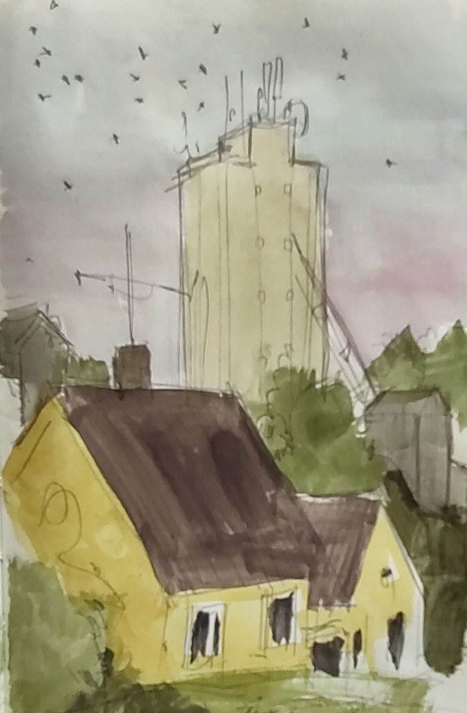
A little while later I arrived in Klemensker itself and just about had time to make one last drawing before my pickup arrived.
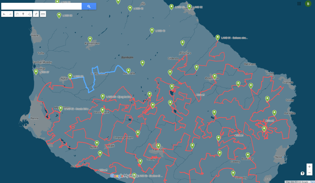
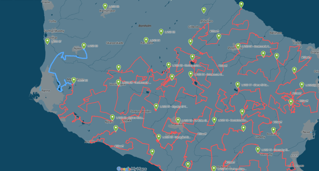
LAND 35
WEATHER REPORT – Rainy start, then overcast with some sunny periods, the evening sunny. Temperature 12 – 18 degrees. Wind 3 – 7 m/s, from the west. Hours of precipitation: 1 hour. Hours of sunshine: 6 hours.
STOPS with the BIVVY – 0
KILOMETRES WALKED – 21.17 km
DAY LASTED – 13h and 49 m
PEOPLE TALKED TO – 5
BIRDS SEEN and HEARD – 43 species (including a wheatear, my first proper ‘autumn’ bird) = 126 species in total.
LESSONS LEARNED – too much time walking, not enough time painting. I need to shorten my trips a little.
IN MY HEAD – fighting and not fighting. When it is or isn’t worth it.